From Idre to Molde, August 18
Idre Ski Resort
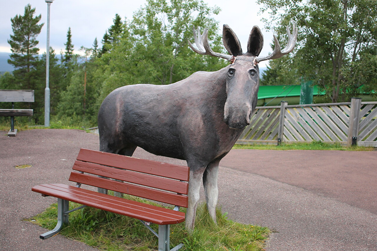
The next morning, before Breakfast, I went to survey the surrounding landscape...read more 
From Idre Norway Border
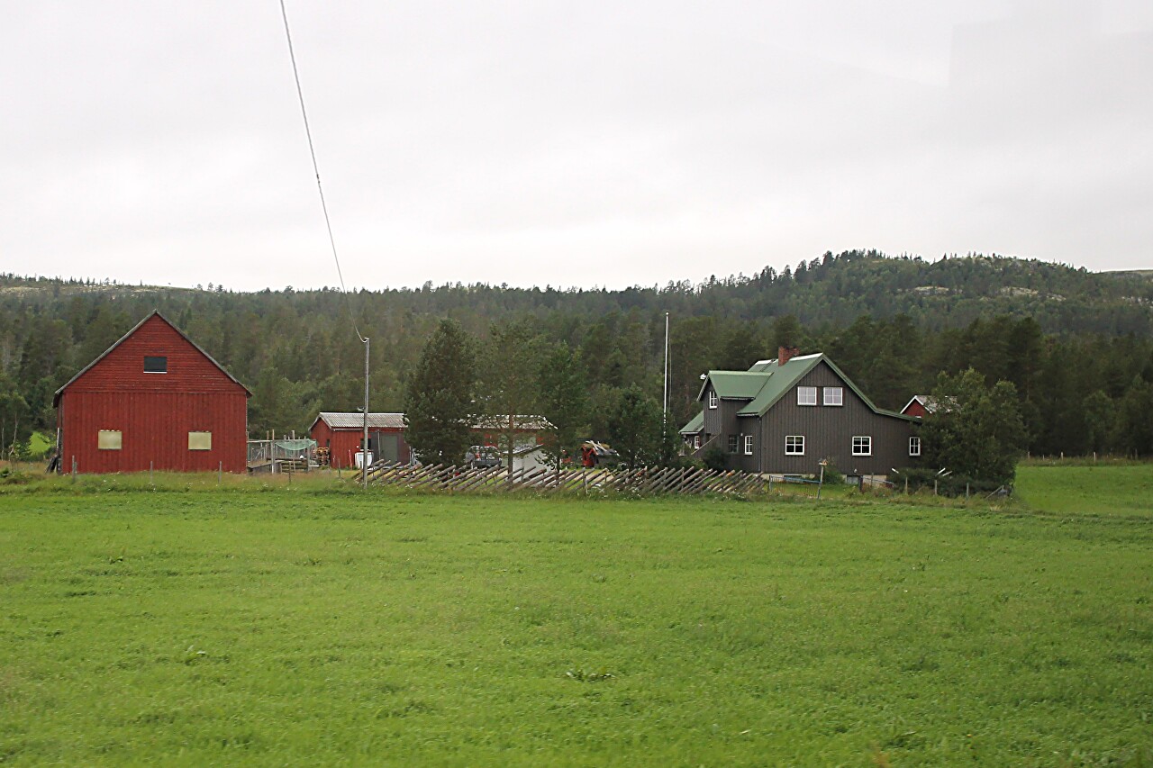
After an overnight stay and Breakfast at the Idre ski resort, we head towards Norway on the road No. 70...read more 
Forests, Lakes, and Farms of Hedmark
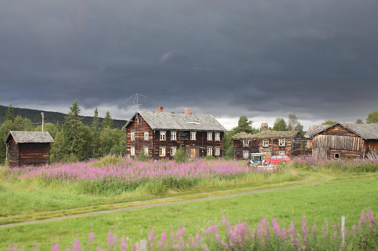
About 40 minutes after leaving Idre on the shore of lake Flötningssjön,
we passed a blue sign "Riksgräns Norge". This is the border. We are in
Norway...read more 
Røros, a Mining Town of the 17th Century. History
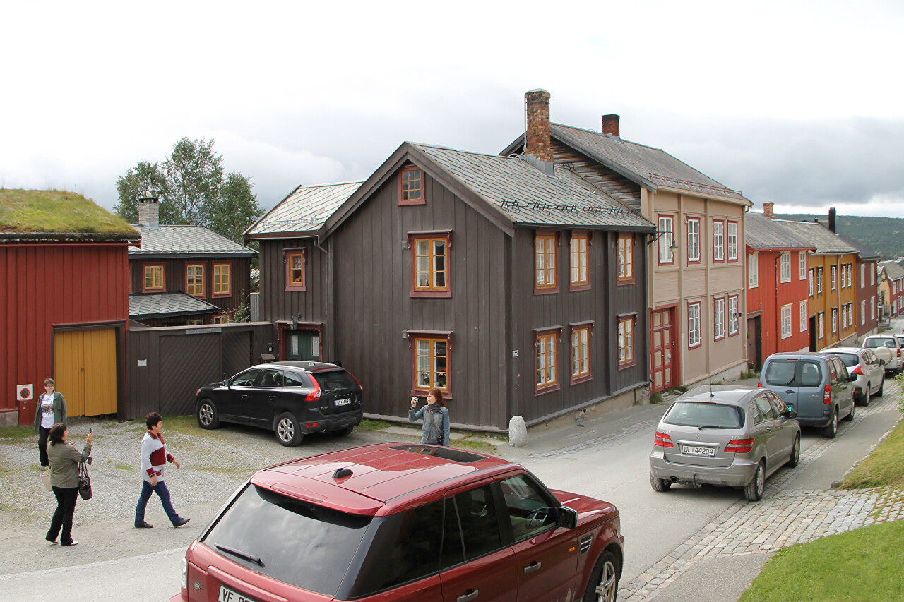
The first stop of the day is in the ancient mining town of Røros. The
city is located on a gentle plateau at an altitude of about 630 meters
above sea level, covered with forests, mostly deciduous. The area is
rich in meadows, where the southern Sami have long grazed deer...read more 
Bergstadens Ziir, Røros Church
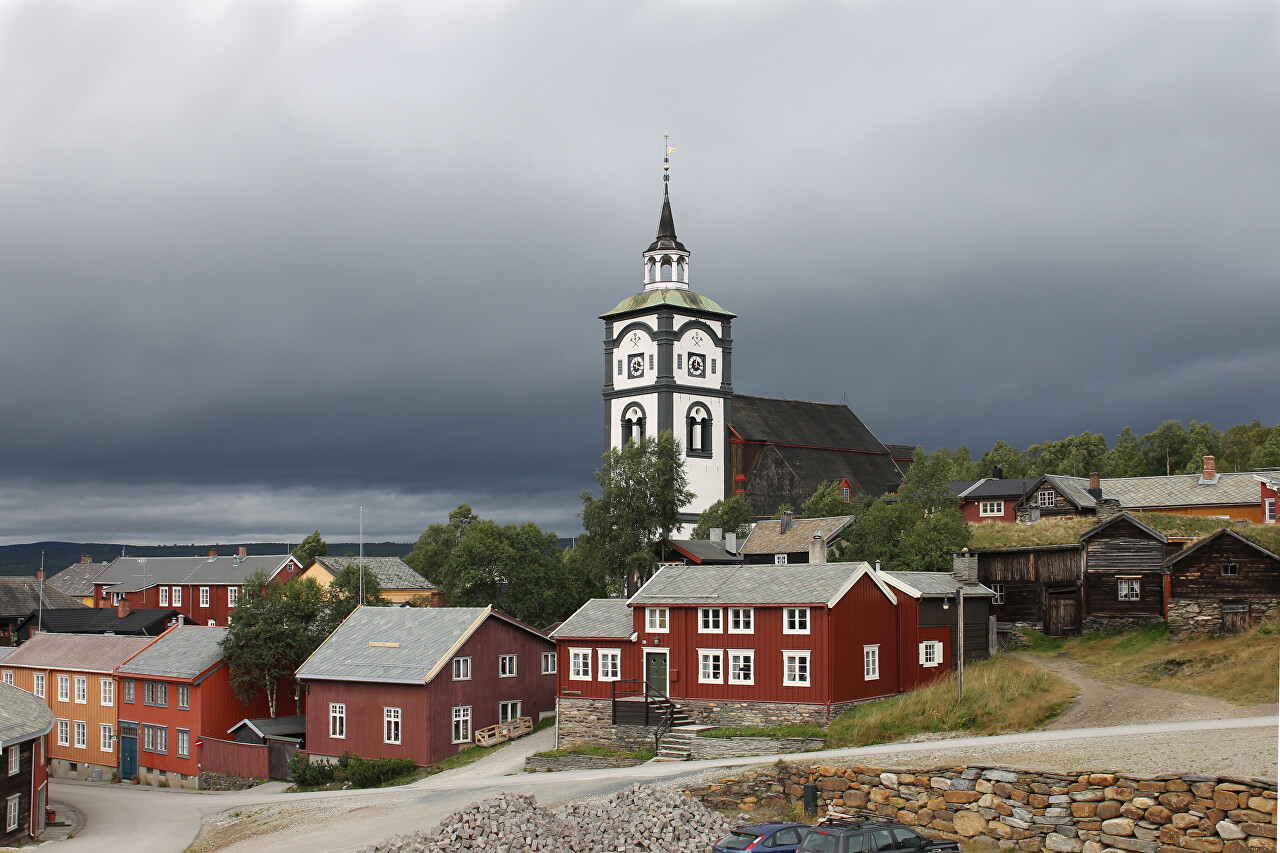
The church of Røros (Røros Kirke) is better known as the "Bergstadens
Ziir", which is often translated as "Mountain church". In fact, in
Norwegian means "Decoration of the mountains". It is one of the most
important architectural monuments in Norway, as well as one of the
largest churches (in fifth place by capacity)...read more 
Old Copper Smelting Factory, Røros
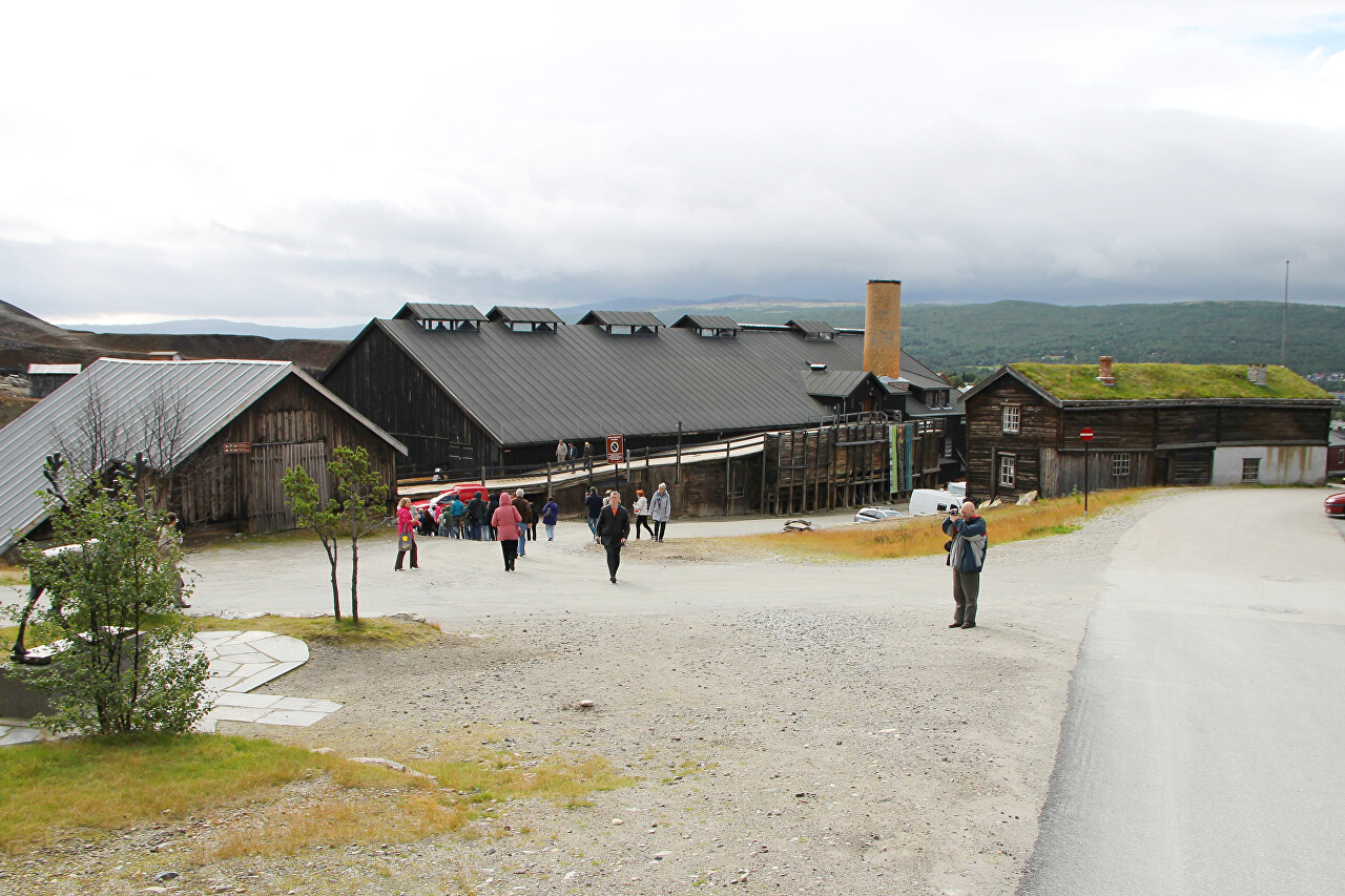
The main historical attraction of Røros is the old smelter Smelthytta
Røros, an industrial monument. It is hard to believe that for a long
time it was one of the largest non-ferrous metallurgy enterprises in
Europe...read more 
Kjerkgata, Main Street of Røros
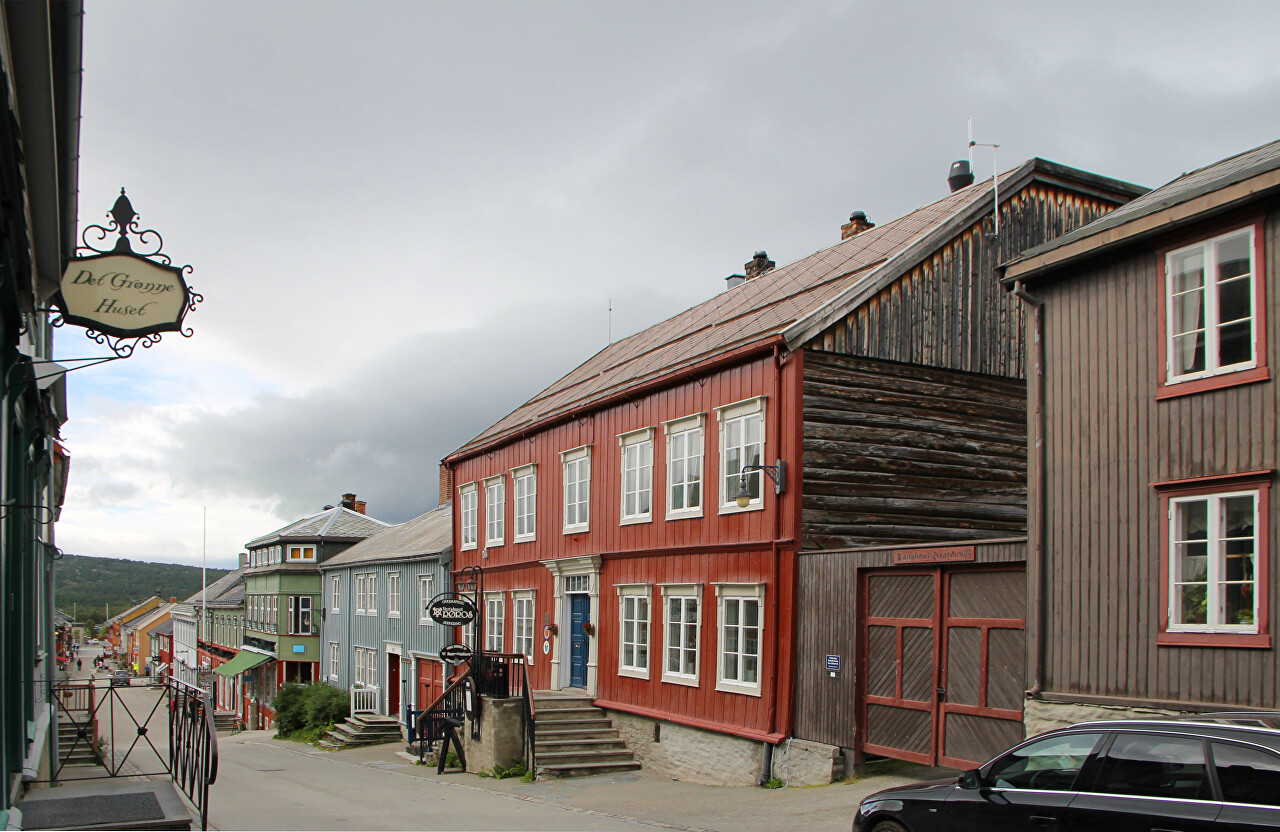
We will walk along the main street of the town. It is called Kjerkgata, which means "the street where the church is located". The first house from the Bergstadens Ziir church was built in 1695,
owned by the farmer, merchant and organist of the сhurch Volqvart Jøns
and has his name, Volqvartzgården...read more 
Miner and his Wife Monument, Røros
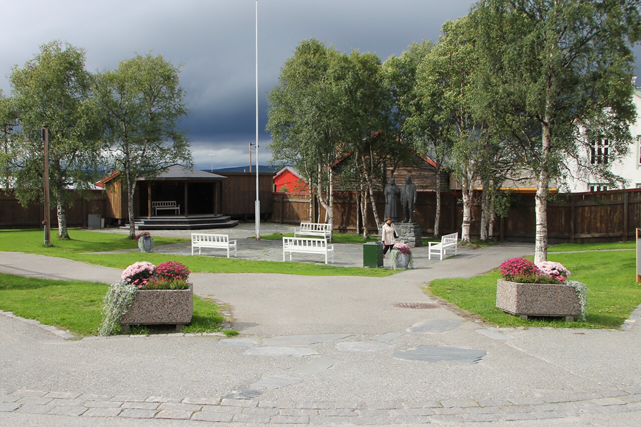
When you reach the end of Kjrkgata Street, you can relax in the small, cozy Nilsenhjørnet park. There is a monument "The miner and his wife" (Bergmannen og hans hustru)...read more 
Old Miner's Houses, Røros
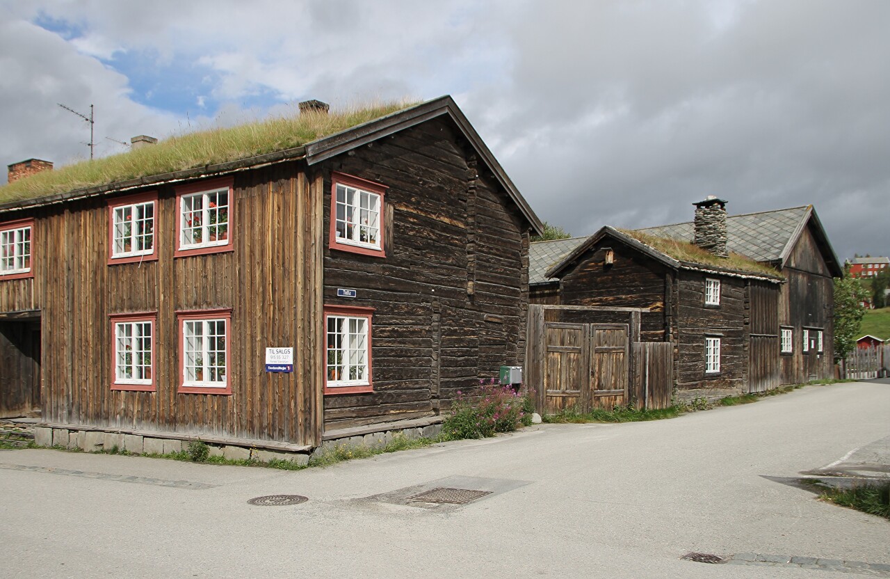
The
buildings surrounding the park don't look like the bright facades of
the town's main street, where merchants, government employees, and the
mining company's management lived. Miners and metallurgists had simpler homes...read more 
Røros Natural Parks. Holtålen
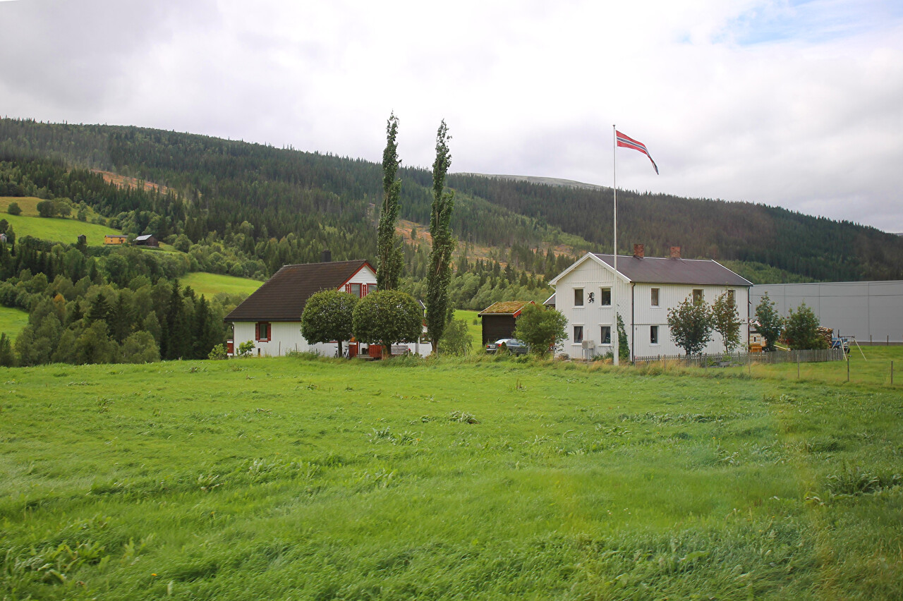
Røros is popular not only as a historic mining town, but also for its
surroundings. Beautiful landscapes and nature untouched by civilization
attract ecotourism lovers...read more 
Gaula River Valley (Gauldalen)
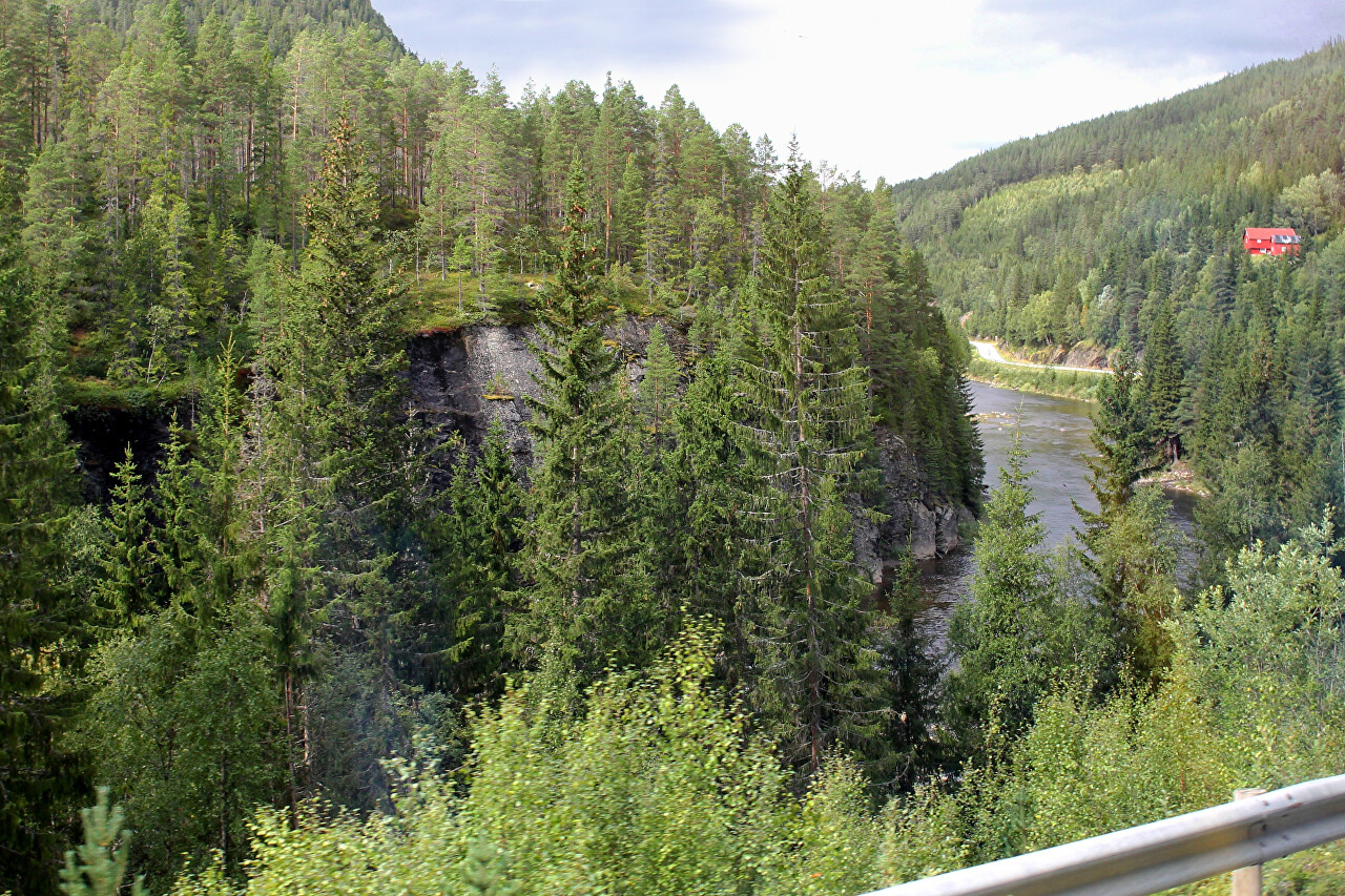
After leaving the vicinity of rerus, continue on the Fv30 road towards
Trondheim. Beyond the village of Ålen, the road follows the river Gaula...read more 
Gaudalen. Outskirts of Trondheim
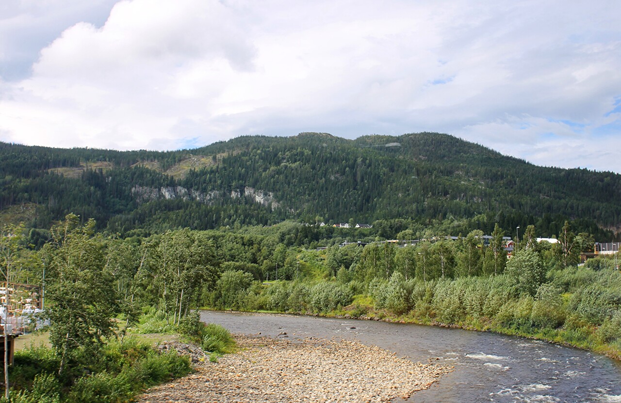
Continue your way along the Gaula river in the direction of Trondheim. Gradually the area becomes more populated...read more 
Histoty of Trondheim
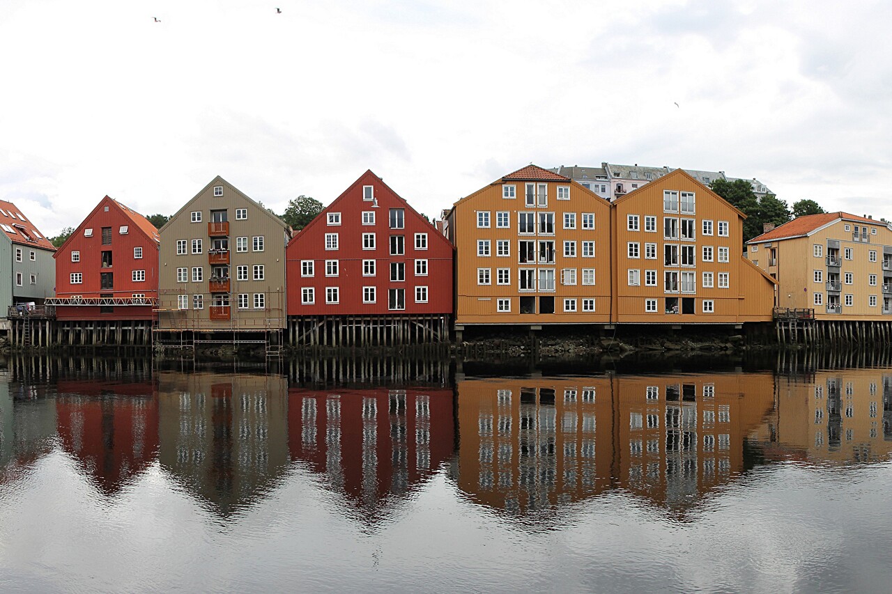
Archaeologists have discovered that the first people settled between the
mouth of the Nidelva river and the Trondheim fjord in the fourth
century BC. The ancient Norwegians were engaged in fishing and
agriculture. The official founding date of the city is 997 the year in
1997, was widely celebrated its millennial anniversary...read more 
Courthouse (Trondheim tinghus)
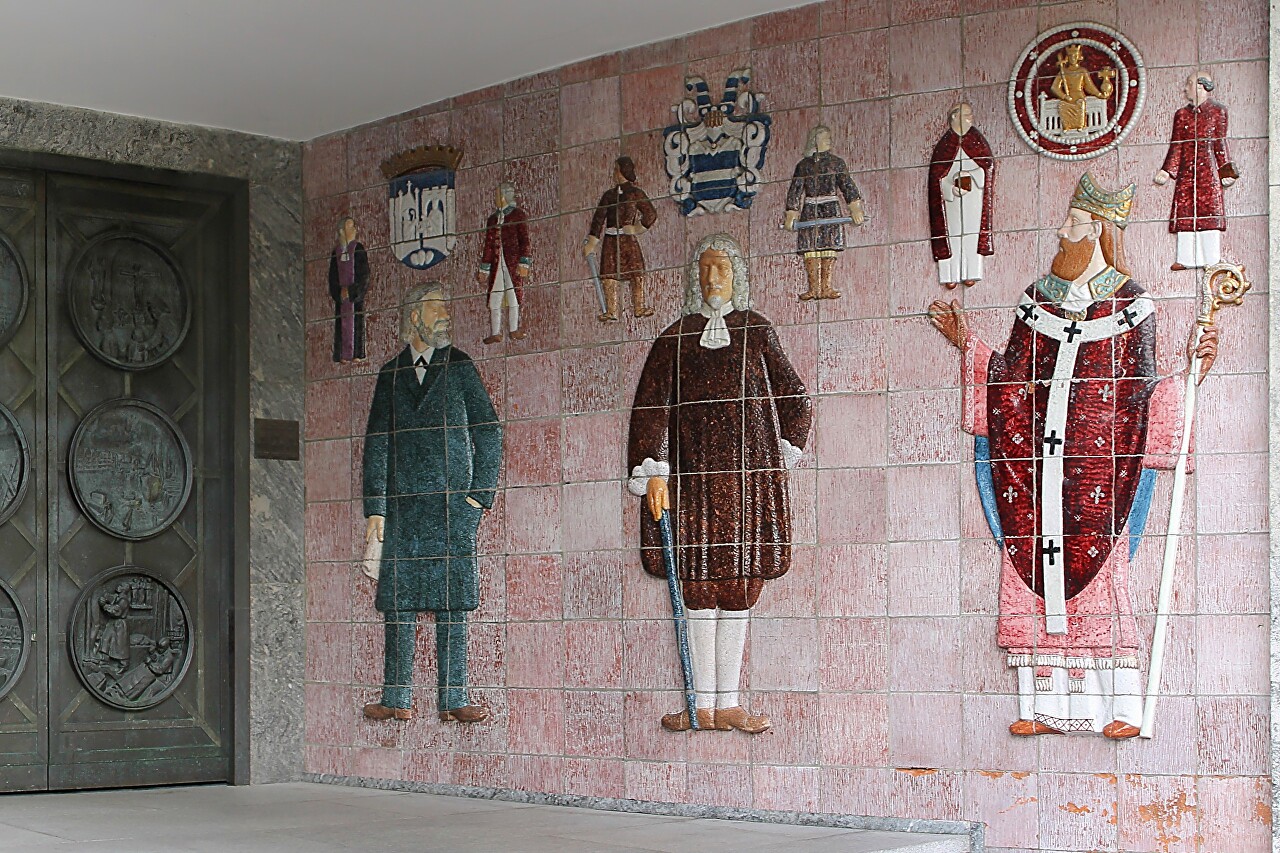
Our walk through Trondheim begins on Munkegata street, where one of the
earliest examples of Scandinavian architectural functionalism is
located, the building that houses the Trondheim city court and the
Trøndelag provincial court of appeal (Trondheim tinghus)...read more 
Royal Residence Stiftsgården, Trondheim
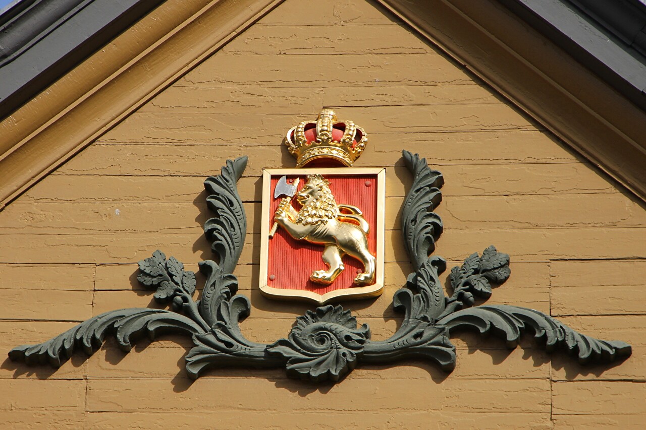
The Stiftsgården mansion is used as the residence of the Royal family of
Norway. If you do not know about this, you can not pay much attention
to the building, it does not look like a luxury Royal palaces. Norway
was once one of the poorest countries in Europe, and this modesty is
understandable...read more 
Market Square (Torvet), Trondheim
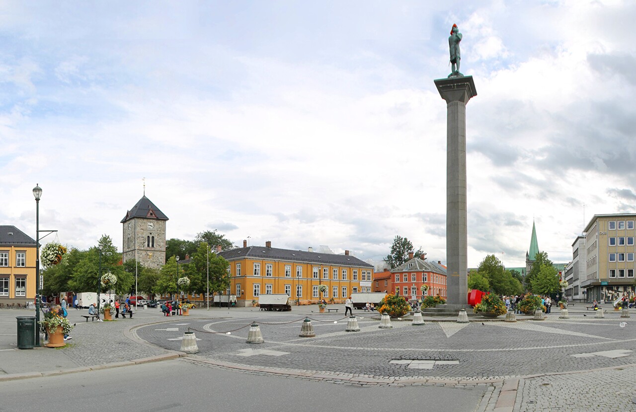
Trondheim's main square is located in the heart of the old city. It
appeared according to the building plan after the fire of 1681, which
was led by the Luxembourg military engineer in the Danish service Johan
Caspar de Cicignon...read more 
Church of Our Lady, Trondheim
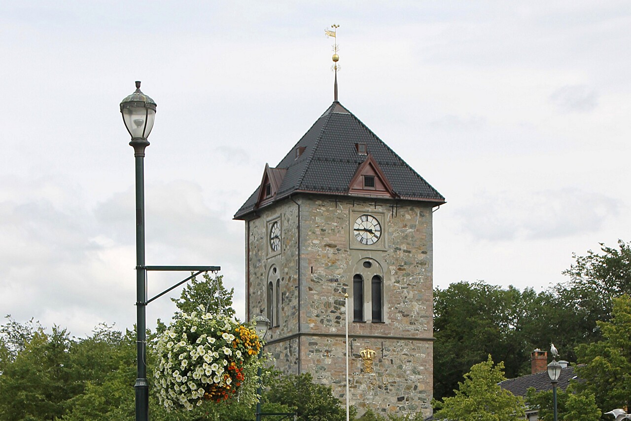
A hundred meters east of Torvet square is the medieval church of Our
Lady (Vår Frue Kirke), the third largest in Norway. The stone church
appeared here, according to historians in about 1200, in documents of
the 15th century referred to as the church of the Blessed Virgin...read more 
The Masonic Hall (Frimurerlogen), Trondheim
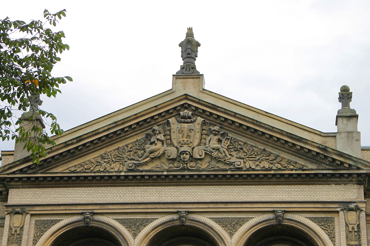
To the left of the Our Lady church is the building of the Masonic Lodge
(Frimurerlogen). The construction of the building for meetings of the
Lodge began in 1899. The authors of the project are architects Carl
Norum and John Christensen, and the interiors were designed by Axel
Gould, Sr...read more 
Kongens gate allmenning, Trondheim
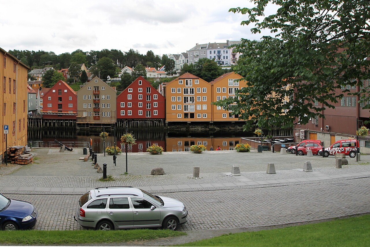
The Royal street led me to a small square on the banks of the river
Nidelva, which is called Kongens gate allmenning (almening means public
space in Norwegian) and divides approximately into two parts of the
Kjøpmannsgata street. The residents of Trondheim sometimes use a
different name, Rådhusallmenningen...read more 
Kjøpmannsgata, Trondheim
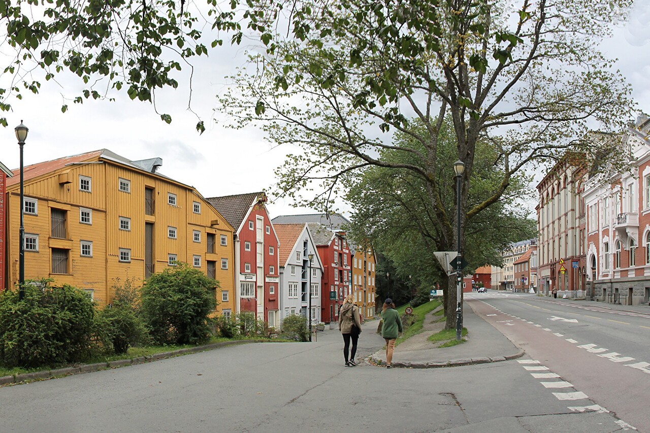
The city's buildings are separated from the coastal warehouses by an
unusually wide street called Kjøpmannsgata (Shopping street)...read more 
Association of Artisans Building, Trondheim
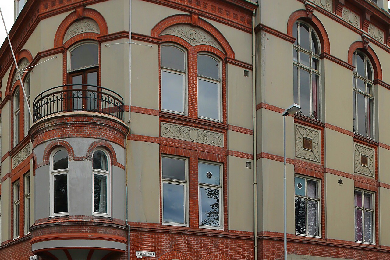
Over time, the street became the main one in the city, here
there was a large Public house. During the fire of 1898.
part of the street was once again destroyed, then built up
stone houses. The building of the Association of artisans
Håndverkerforeningen
was built in 1900 to the design of architects Lars Solberg and Johann
Christensen, and it opened the first public library in the city...read more 
Old Bridge, Trondheim
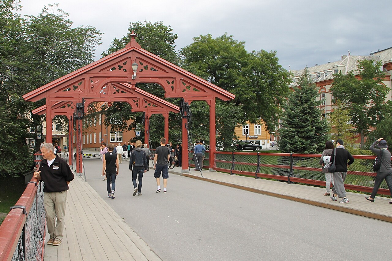
The Gamle Bybrua bridge is located at the southern end of Kjøpmannsgata
street and connects the central part of the city with the Bakklandet
quarter, located on the right bank of the Nidelva river...read more 
Nidelva River and Bakklandet Quarter, Trondheim
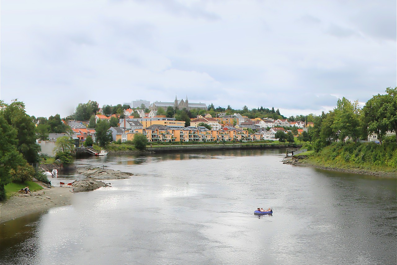
The Old bridge overlooks the Nidelva estuary and the Bakke Bru bridge. A
cargo port was located behind the bridge until the 80s of the last
century, and now there is a Marine for yachts and boats in its
place...read more 
Thomas Angells Hus, Trondheim
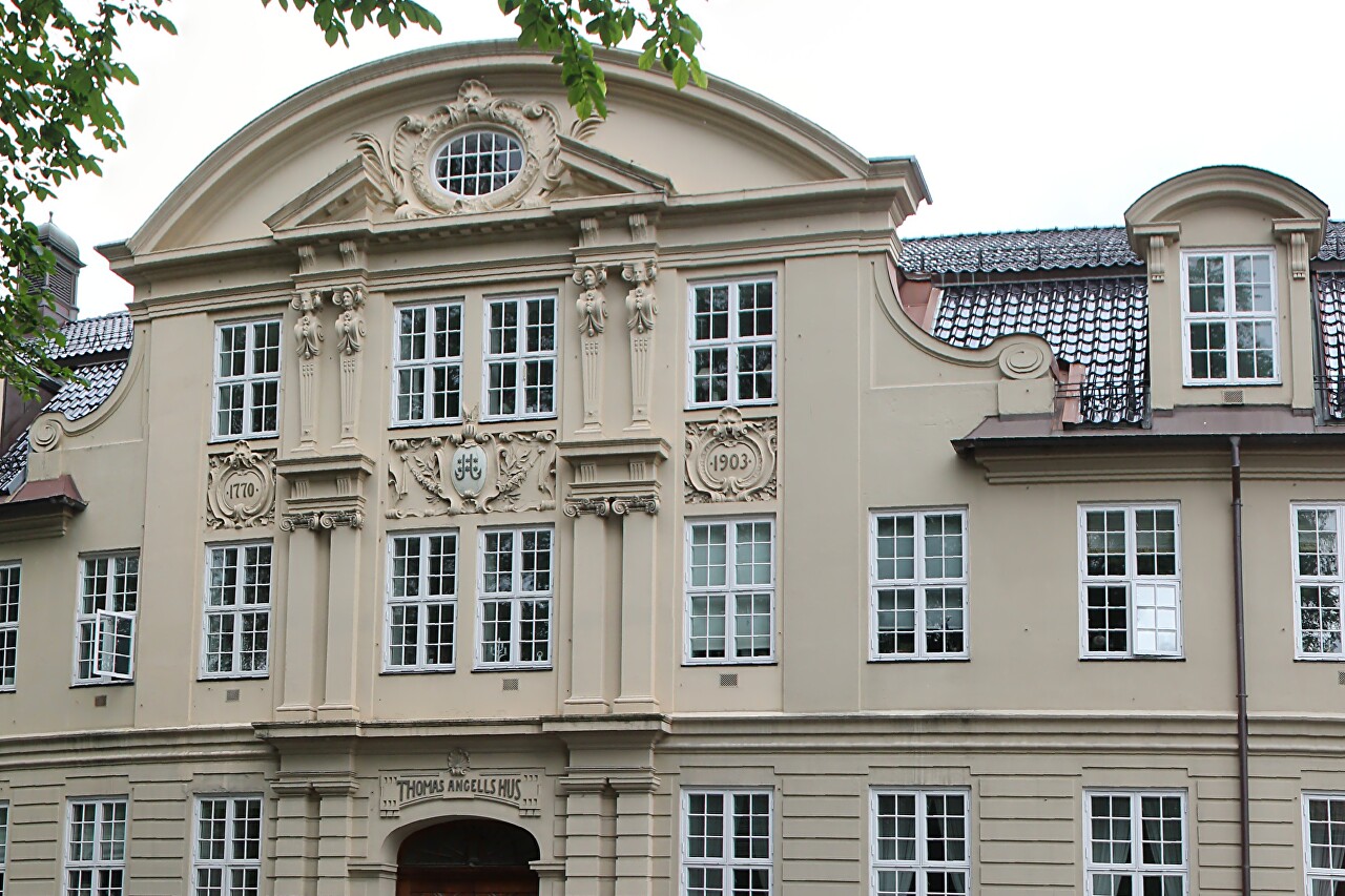
Opposite the western entrance to the Old bridge is a luxurious mansion
known as the Home of Thomas Angell. Thomas Angell (1692-1767) was a
major Trondheim industrialist and merchant, who in 1762 bequeathed all
his savings to help the poor...read more 
Nidaros Cathedral History
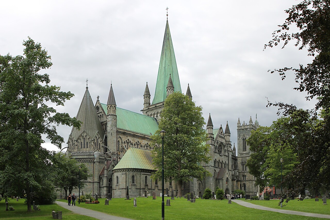
To the south-west of the Old Bridge is Nidaros Cathedral (Nidarosdomen), the most important Lutheran Church in Norway...read more 
Nidaros Cathedral Architecture
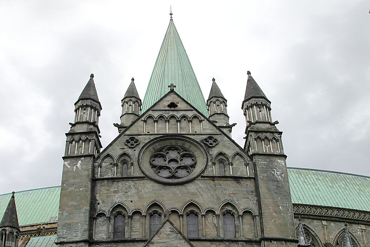
Norwegian king Olaf II Haraldsson died in 1030 in the battle of
Stiklastadir and was buried in Nidaros, in the 70s of the 11th century a
stone church was built over his tomb, in 1164 Olaf was canonized, and
at the end of the 12th century the construction of the Cathedral began,
which lasted about a hundred years...read more 
Gargoyles and Ornaments of Nidaros Cathedral
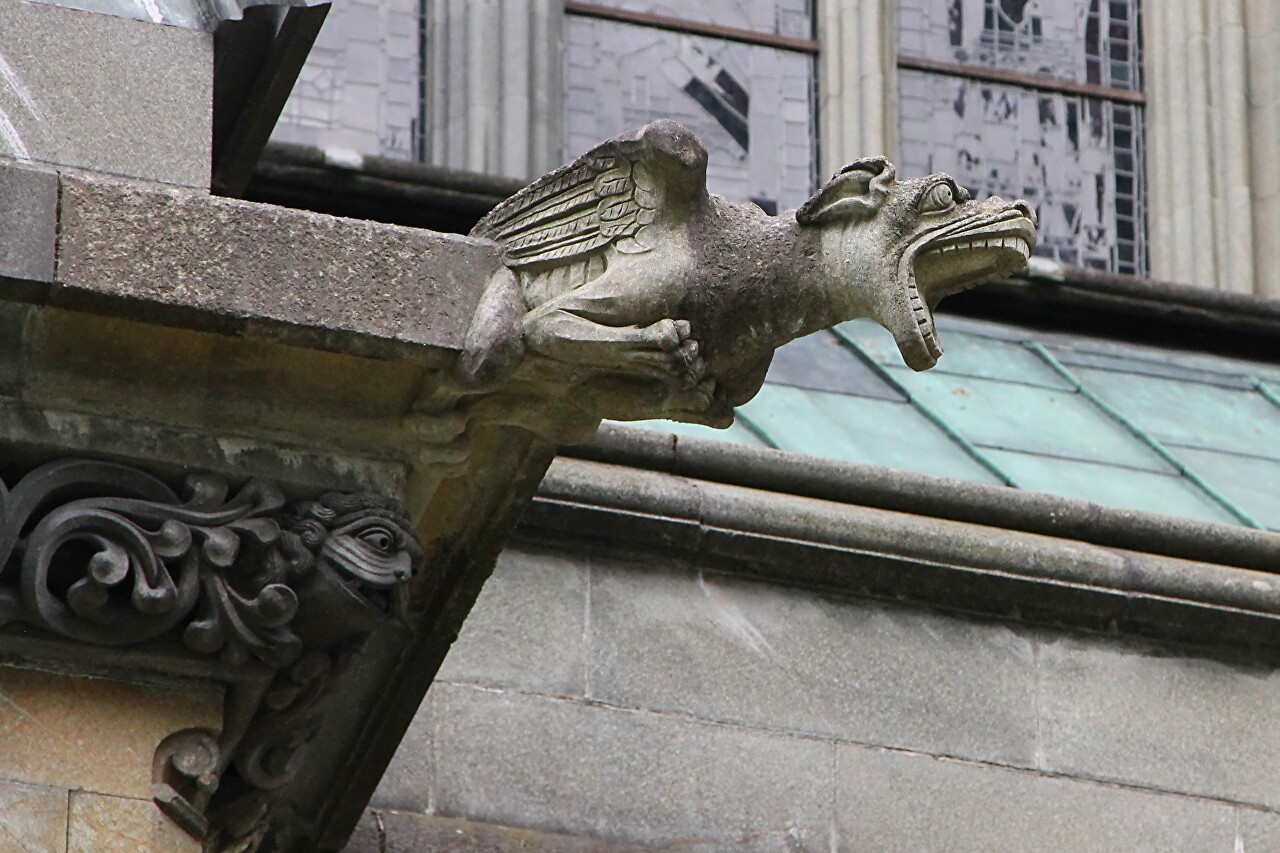
Typical elements of medieval Gothic decoration are present in abundance
in the appearance of Nidaros Cathedral. The western part of the
Cathedral, built in the late Gothic style, is particularly richly
decorated. The eastern part in the Anglo-German style has a more modest
design...read more 
Sculptures of the Nidaros Cathedral. Western Facade
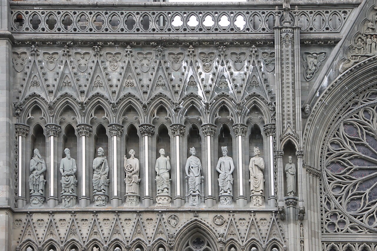
he construction of most of the largest medieval cathedrals took several
centuries, and some of the work continues to this day. Nidaros
Cathedral, founded in 1070 and since then has been expanded and rebuilt
many times, is no exception...read more 
Trondheim Kunstmuseum
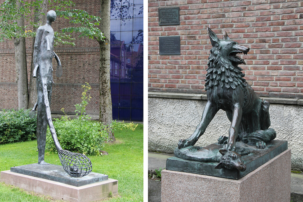
The Trondheim Art Association was founded in 1845 on the initiative of
the famous professor and artist I. C. Dahl. In the early years, the
activity of the art association was limited to
showing exhibitions and holding auctions, where works by local artists
were sold...read more 
Around Nidaros Cathedral, Trondheim
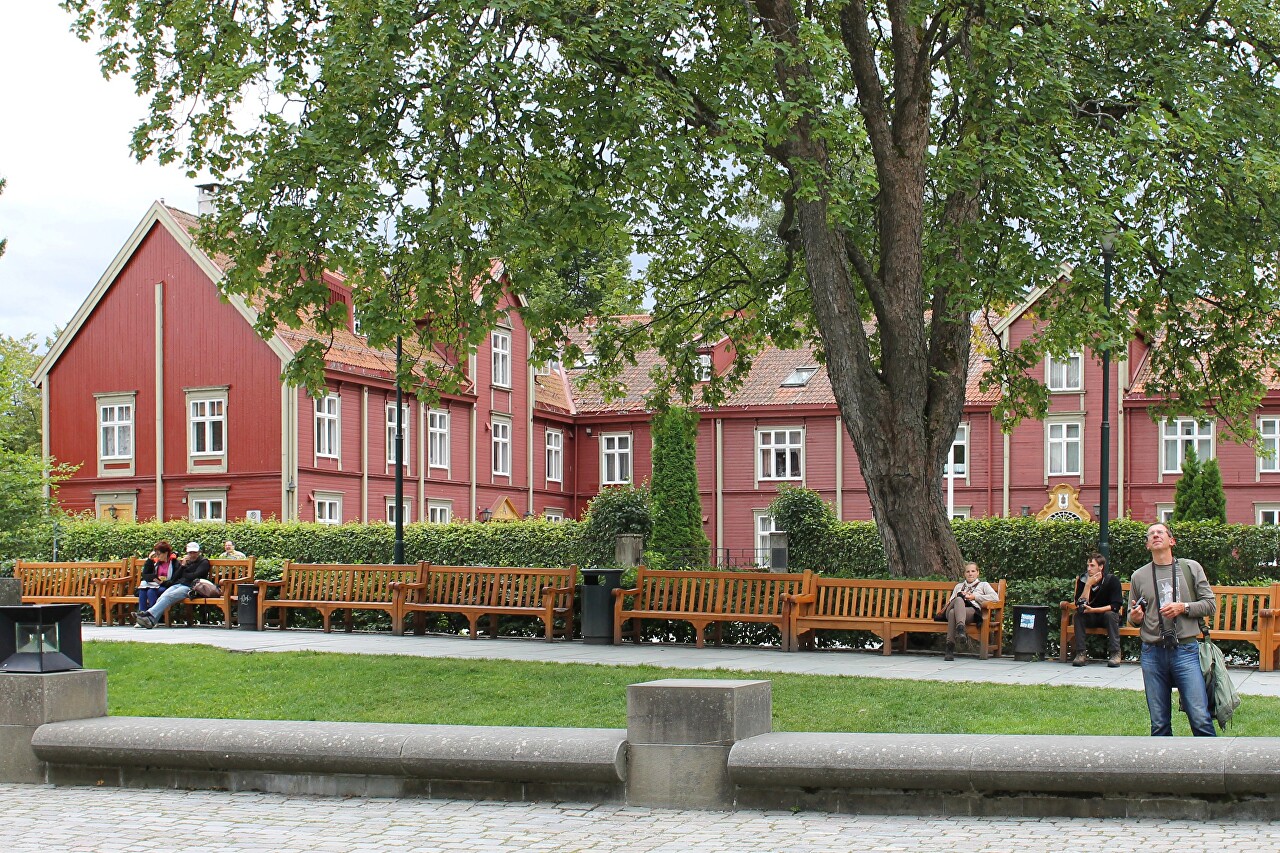
The western facade of the cathedral faces the large Vestfrontplassen
square, which translates as "west facade square". To the left of the
cathedral, in a glass pavilion - a tourist office, a
souvenir shop and a cafe, with completely insane prices even by
Norwegian standards...read more 
West Trøndelag. Vinje Fjord
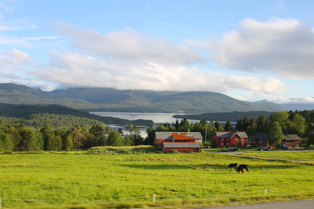
Leaving Trondheim, continue on the E39 highway through the western part
of the Trøndelag province. This is an area with gently wooded hills and
rare farms, there are almost no tourist attractions and this area is of
interest only for lovers of wildlife and ecotourism...read more 
Halsa - Kanestraum Ferry
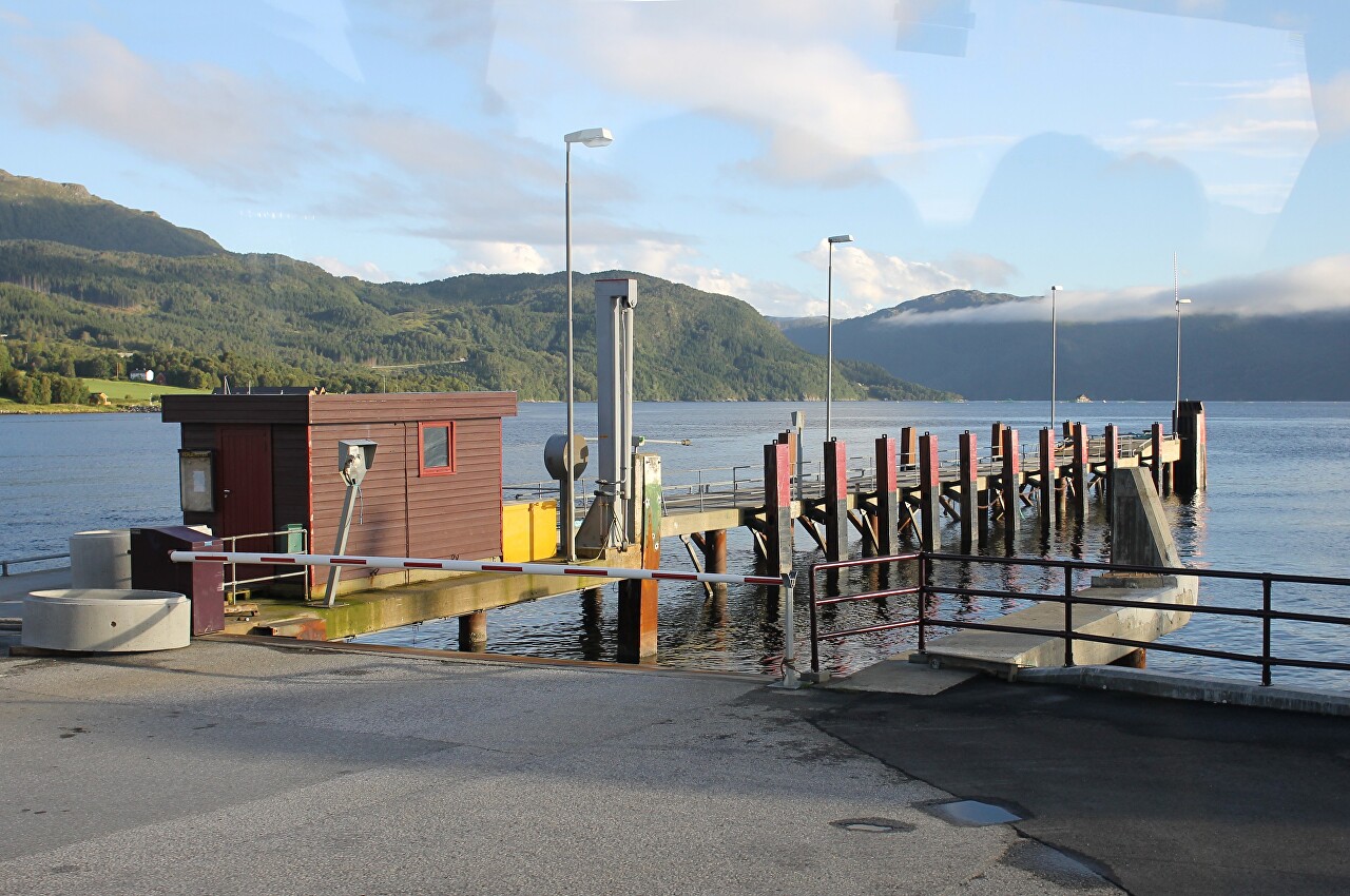
We continue to move West on the E39 highway. About an hour and a half
after leaving Trondheim we saw the waters of the Halsafjord...read more 
Halsafjord Views from a Ferry Board
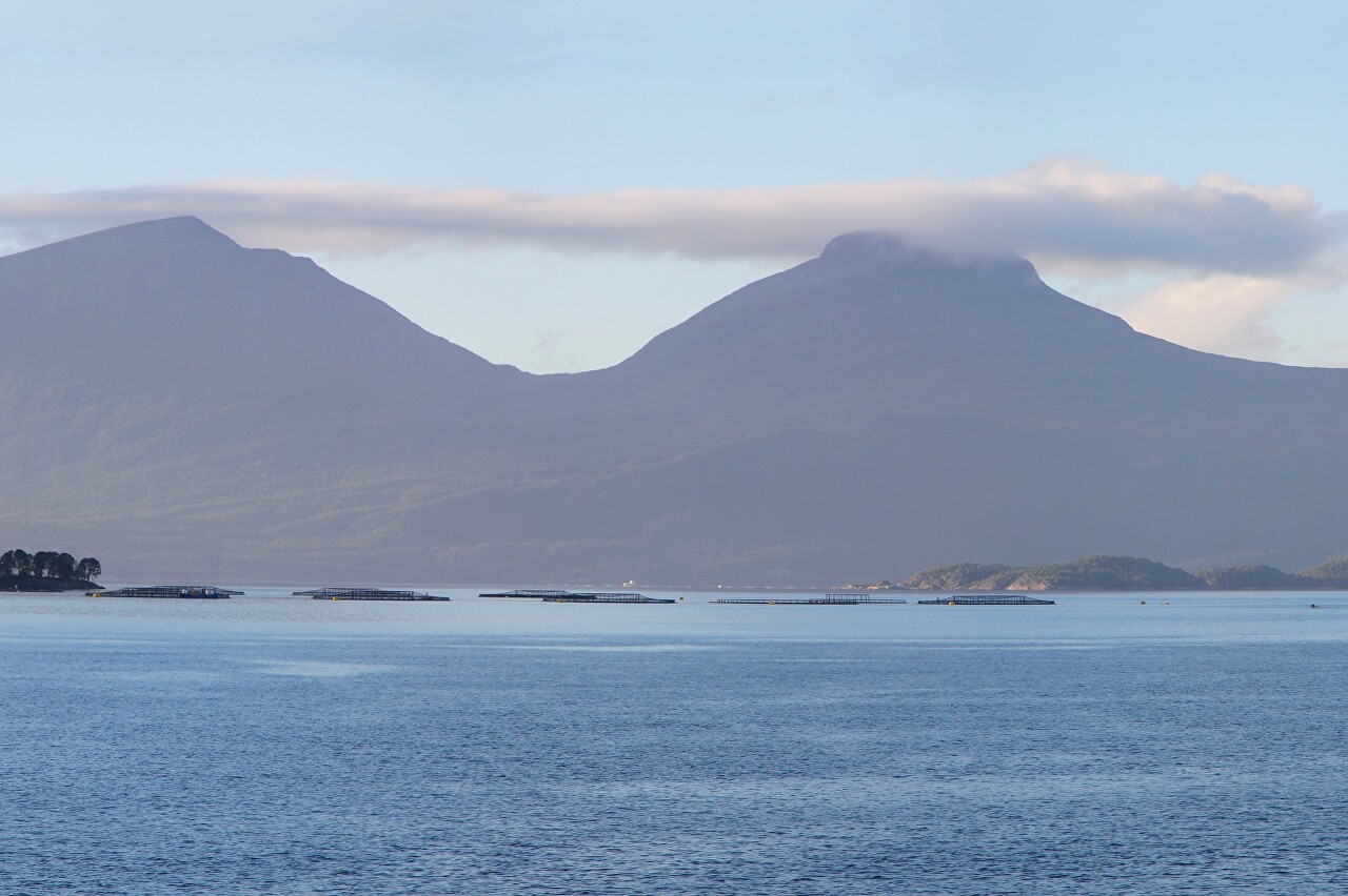
A few minutes after we stopped on the ferry deck at Halsa pier, the ferry started its journey. The Halsa-Kanestraum ferry takes only 20 minutes, so we will hurry to the upper deck to admire the beauty of Halsafjord...read more 
Gjemnes Bridge (Gjemnessundbrua)
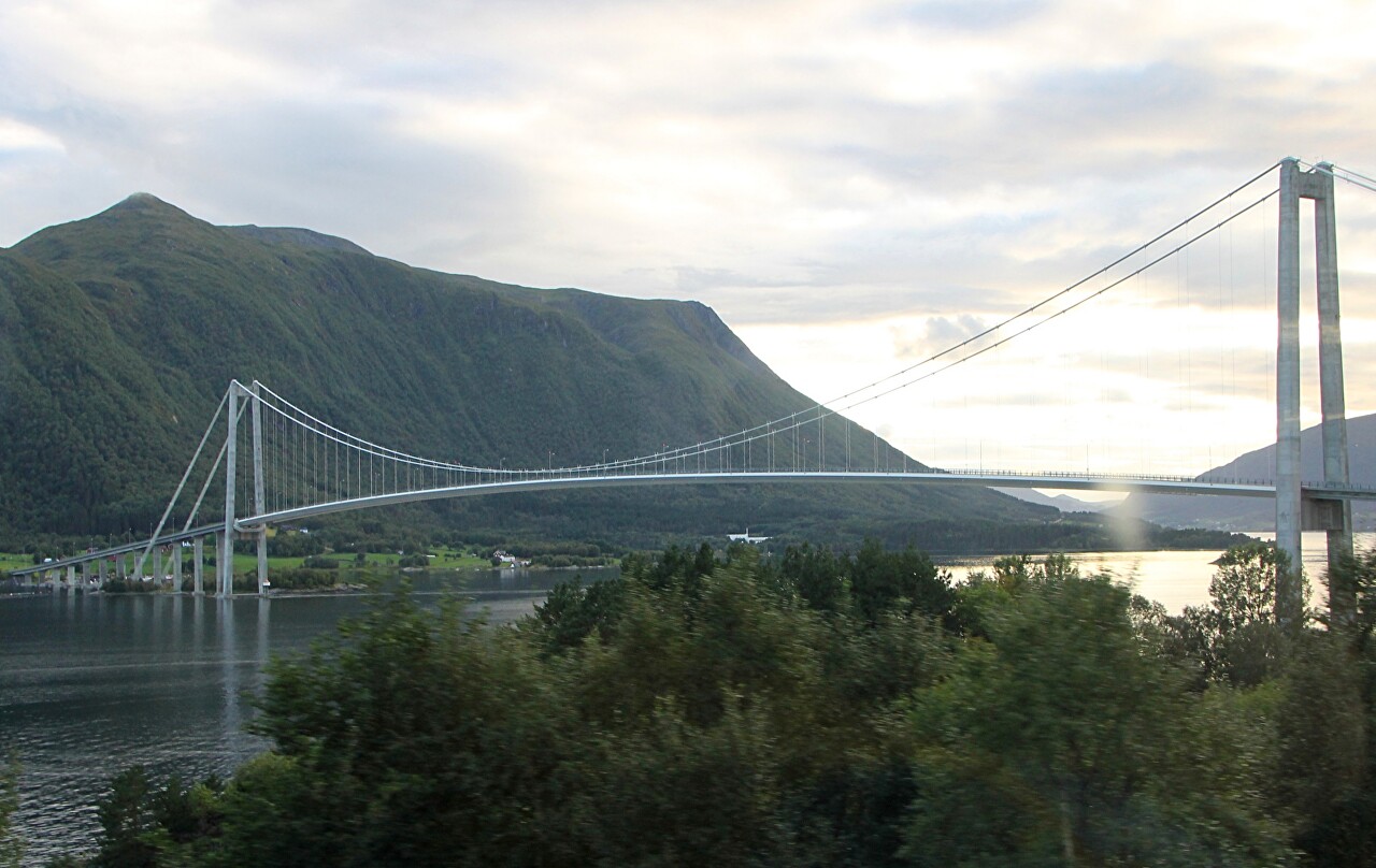
For a long time the ferry was the only way to cross the fjords, now they
are gradually replaced by bridges and tunnels. The road network in
Norway is developing very intensively, despite the fact that transport
on the roads is not as much as, for example, in Central Europe...read more 
Batnfjord and Fannefjord
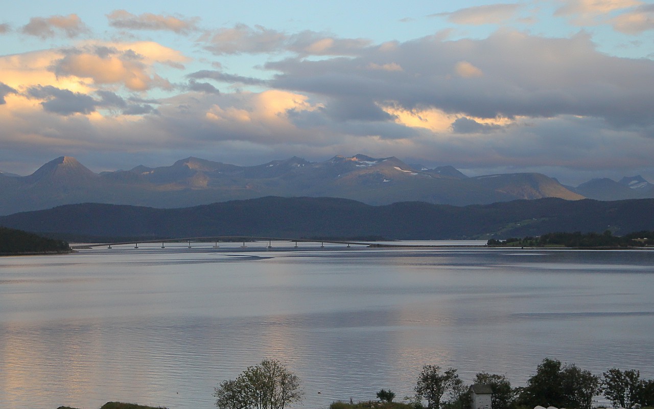
After the Gemnesund Bridge, the E39 highway heads southwest along the
Batnfjord, a small 9km-long arm of the Tingvollfjord surrounded by
gently wooded mountains...read more 
Molde, the Northern Nice
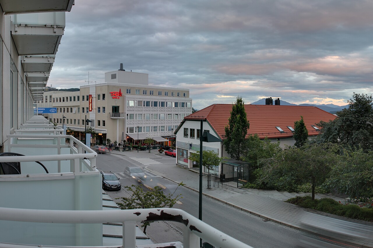
The fourth day of the journey comes to an end and at dusk we arrive at
the city of Molde, the capital of the Møre og Romsdal province (fylke).
The town originates from a fishing village that appeared in the
11th-12th century...read more 
Molde. Evening Walk Along the Hamnegata Promenade
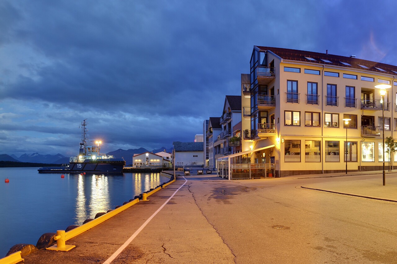
I checked into the hotel and headed downtown. The plan was to find a
grocery store first, but everything was already closed nearby. After
this I turned on to the Fjordgata street leading to the water...read more 
Night Molde. Moldetorget Square
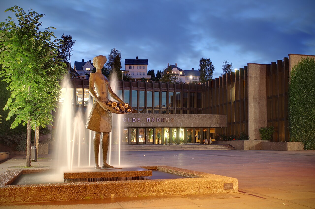
After walking along the embankment, I went to the hotel for a tripod and
went to the center of the city, to Moldetorget square. There are no
historical buildings here, the modern development is due to the fact
that the city was heavily destroyed by German aircraft, as the
government and the Norwegian gold reserve were evacuated from the port
of Molde to England...read more 