Molde, Geiranger and Briksalsbreen, August 19
Along the Bank of Molde
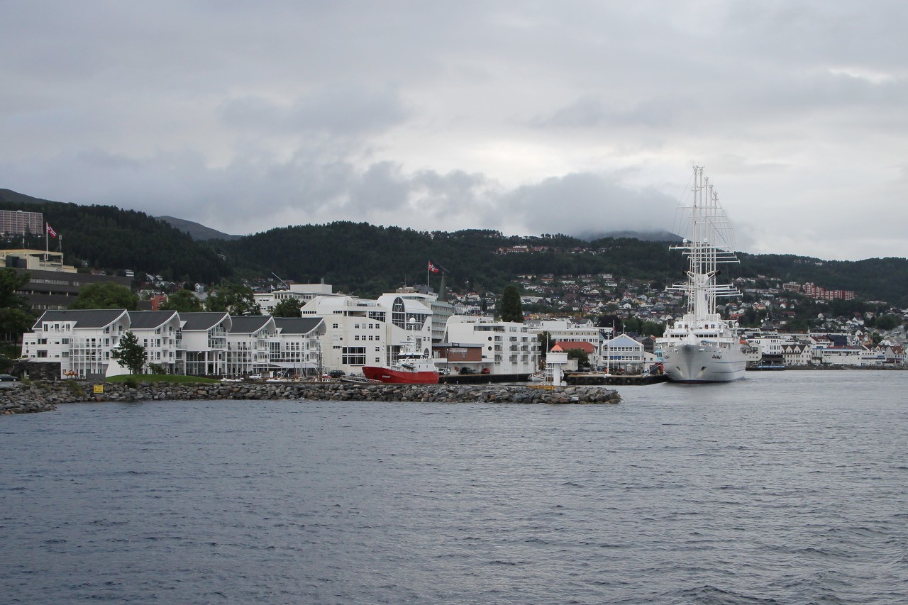
Molde in our voyage is just a place of transit overnight, so early in
the morning we go further. The new journey day begins with another ferry
crossing to the other side of the Rumsdalfjord...read more 
Molde-Vestnes Ferry, Romsdalsfjord
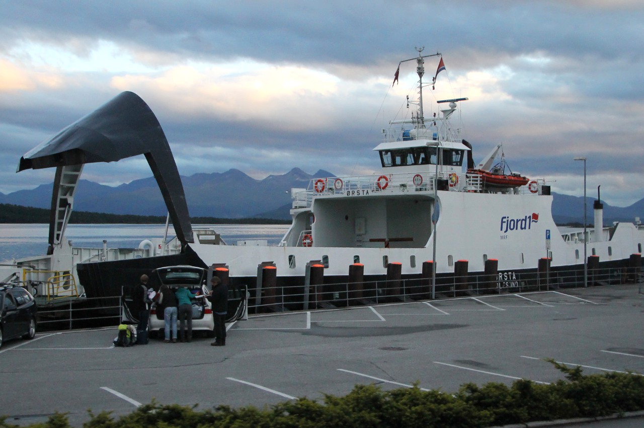
Ferry terminal in Molde is close to the centre, two hundred meters to
the East of the square Moldetorget. Here are two quays: close to the
city centre are moored ferries of Molde-Sekken line, from next pier
Molde-Vestnes ferries departures...read more 
Eidsdal-Linge Ferry
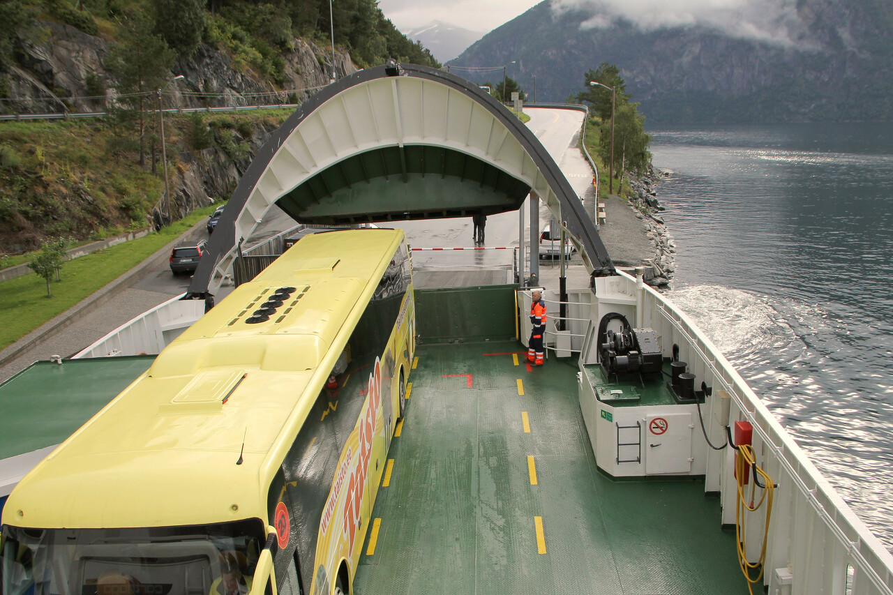
From Vestnes to Linge a little more than 60 kilometers on regional roads
so the journey takes more than an hour. The route passes through the
picturesque area, but the weather today did not contribute to
photography. In between the rains and fog is possible bylo to observe
the steep slopes with glacier smoothed rocks...read more 
Norddalsfjord from the Ferry Board
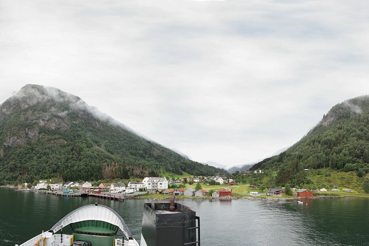
Norddalsfjorden, one of the branches of the Storfjord, is 16 kilometers
long. At the widest point, the distance between the banks is no more
than 3 km. The shores of the fjord are surrounded by peaks up to one and
a half thousand meters high...read more 
Eidsdalen Valley. Farms and Waterfalls
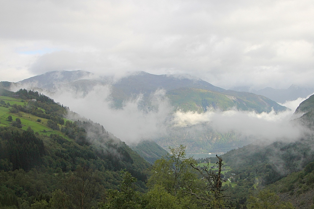
After leaving the Linge-Eidsdal ferry deck, we continue on the N63 regional
road connecting Molde and Geiranger and climb the mountain again along
the winding serpentine. Traffic on this section was opened in 1955, before that, Geiranger could only be reached by water...read more 
Geirangerfjord. Ørnesvingen Observation Deck
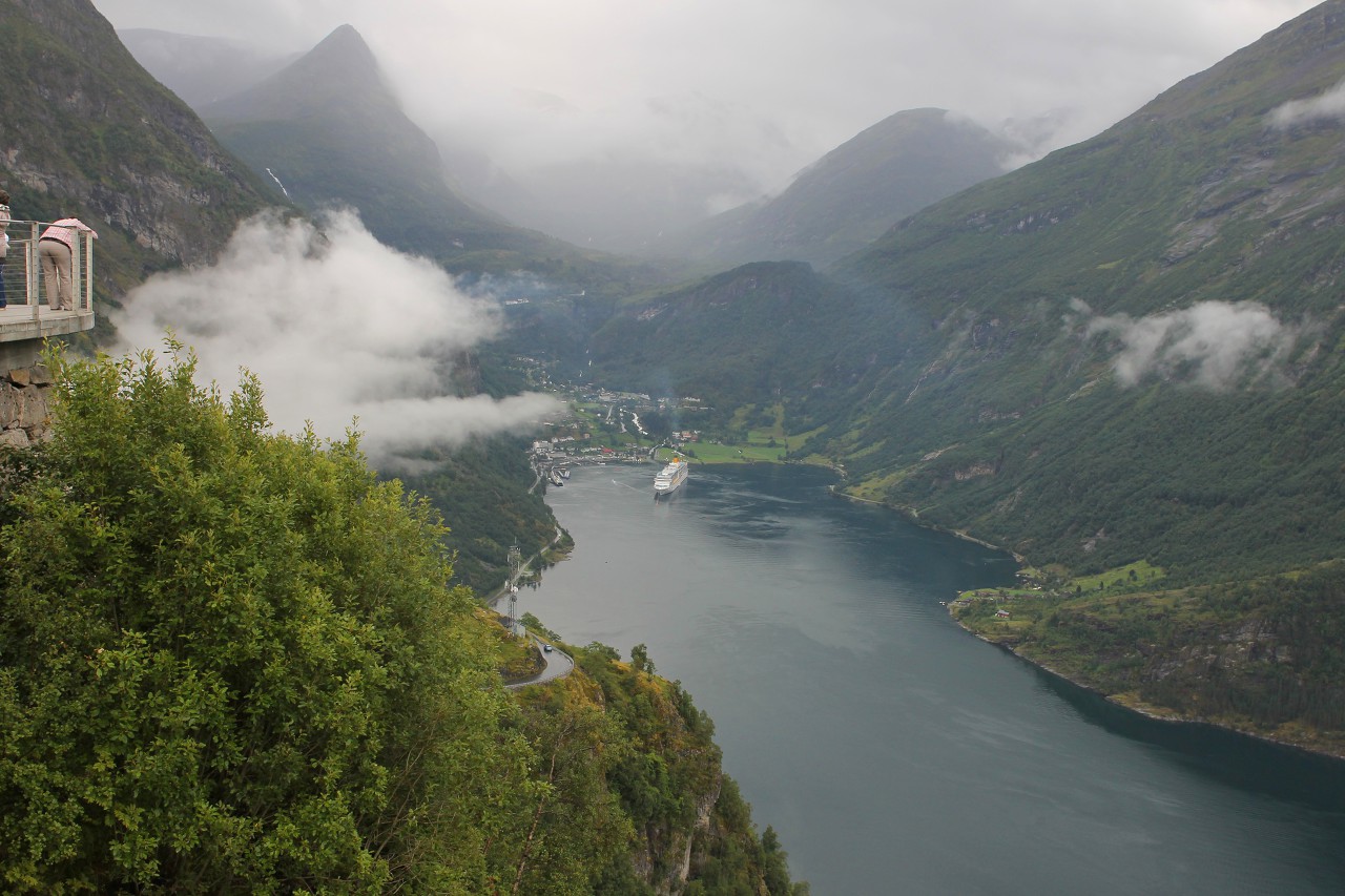
Beyond the Eidsdal pass, you can immediately see the stunning panorama
of the Geiranger fjord. This 15 kilometer long branch of the Storfjord
is exceptionally beautiful and was included in the UNESCO heritage list
in 2005...read more 
Ørnesvingen Waterfall
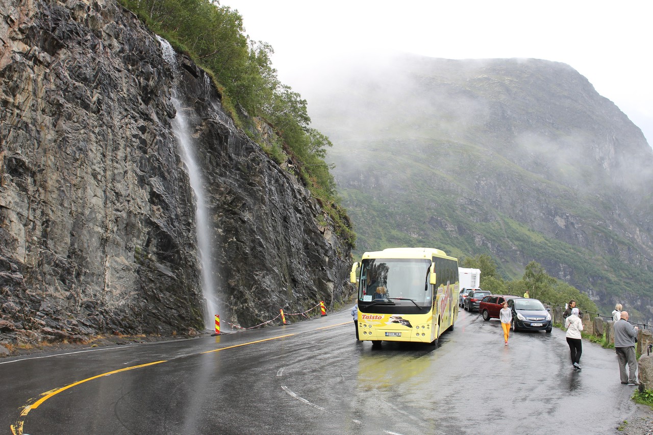
Next to the observation platform Ørnesvingen there is a small picturesque waterfall. An unnamed river originates on the slope of the Turrvass mountain at an altitude of about 800 meters...read more 
Eagleroad (Ørnevegen)
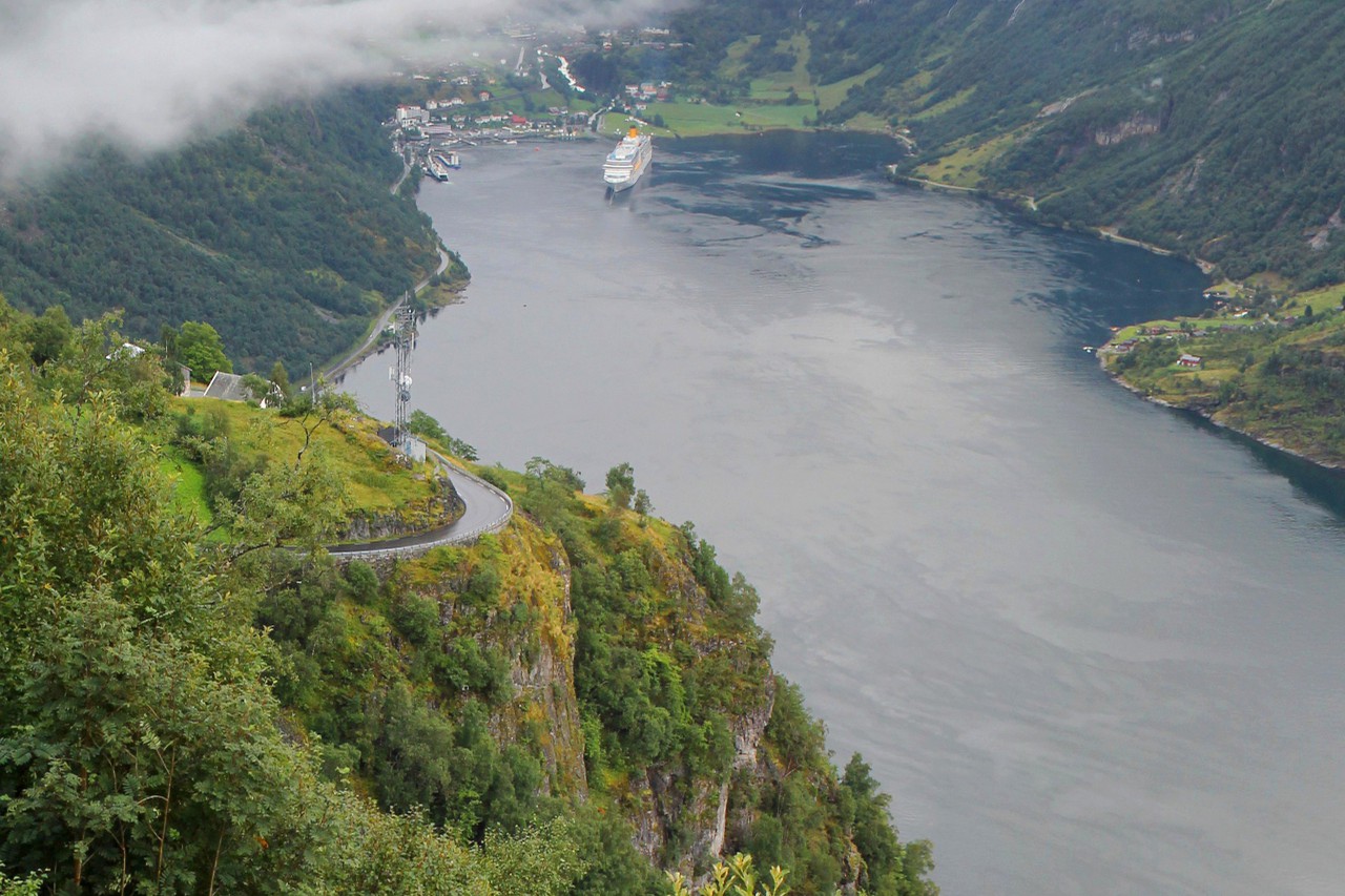
The final and most famous section of the regional road Rv63
Molde-Geiranger begins at the Ørnesvingen observation platform, which we
have just visited. Now we have to drive from a height of 620 meters along a mountain
serpentine with 11 breathtaking turns to the water, where the Geiranger
town is located at the source of the fjord...read more 
Geiranger
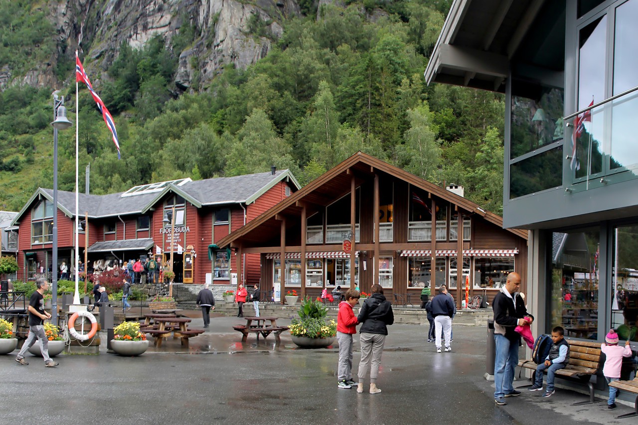
After descending the serpentine of Eagleroad, we found ourselves in the
village of Geiranger, located at the very end of the Geiranger Fjord. Colorful houses of the village are beautifully located on the slopes of
the surrounding mountains. Only about three hundred residents live here
permanently, who earn almost exclusively on tourism...read more 
Geiranger. Norwegian Trolls and Chinese Vikings
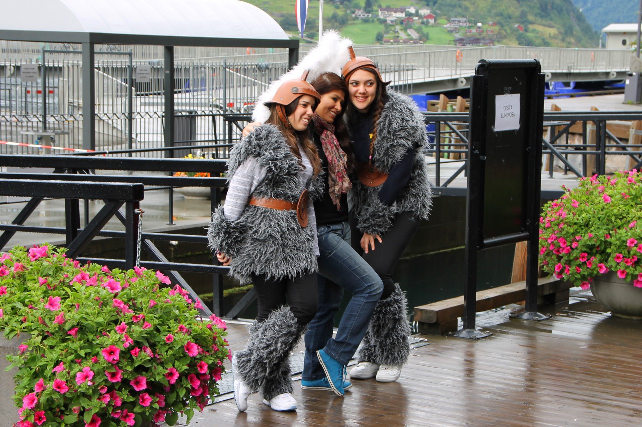
While our tourists are running around the Geiranger souvenir shops, I
came to a sculpture depicting a legendary resident of the Norwegian
mountains. In Norway, there are a lot of toponyms associated with these
creatures, for example, the mountain ranges of Trollholm, Trollheim are
considered petrified trolls...read more 
Fishing in Geiranger
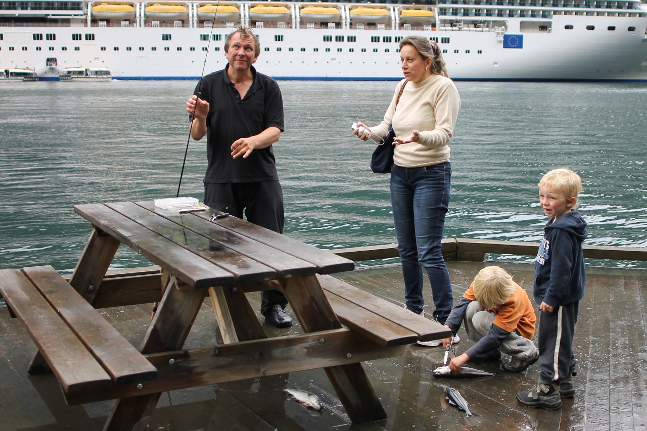
In addition to the beauty of nature, Geirangerfjord is also famous for
excellent fishing. While waiting for the ferry, I approached a family of
fishermen with whom our guide Marina was talking....read more 
Geiranger. A little bit of Wild Nature
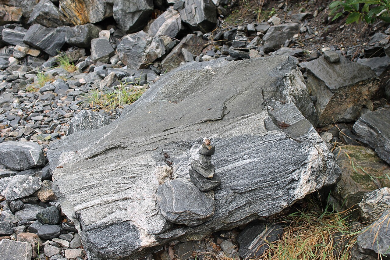
While there is time to get to the ferry, I go down to the water next to the pier to get closer to nature. Someone built a stone pyramid here in honor of his visit to this beautiful corner...read more 
Geiranger-Hellesylt Ferry
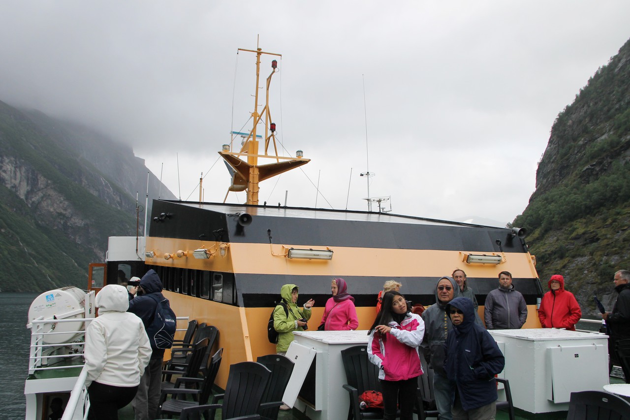
After walking around the Geiranger we continue the trip on the ferry
which will take us to Hellesylt. This is not a transport line, but a
tourist one, so navigation only lasts from April 1 to October 31 and
fares are significantly higher than on regular ferry crossings. The
length of the route is about 20 kilometers, the travel time is 50
minutes...read more 
Waterfalls and Farms of the Geirangerfjord
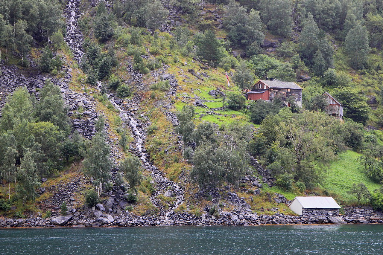
Saying goodbye to the lovely village Geiranger, once again we climb on the deck of the ferry to Hellesylt, which will take us through the most interesting part of the Geirangerfjord...read more 
Farms on Langedalen Valley
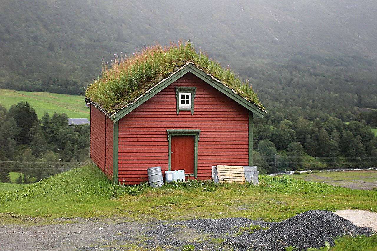
After leaving the ferry in Hellesylt, we drive towards West on the road
Fv60. This part of the highway stretches in the valley of the river
Langedalselva, and therefore is called Langedalen. From the road the
river is almost invisible, the landscape is diversified only by lonely
farms among green fields...read more 
Hornidal
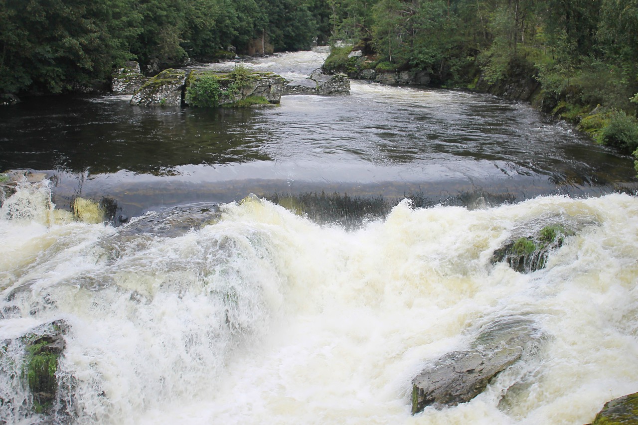
In 8 kilometers from Hellesylt we left "The County of Fjords" Møre og
Romsdal and crossed the border of Sogn og Fjordane province, is also
rich in fjords, but better known as "The Country of Glaciers, namely the
Jostedalsbreen national park with the largest glacier in Europe. That
he is the purpose of our today's move...read more 
Stryn, Summer Ski Resort
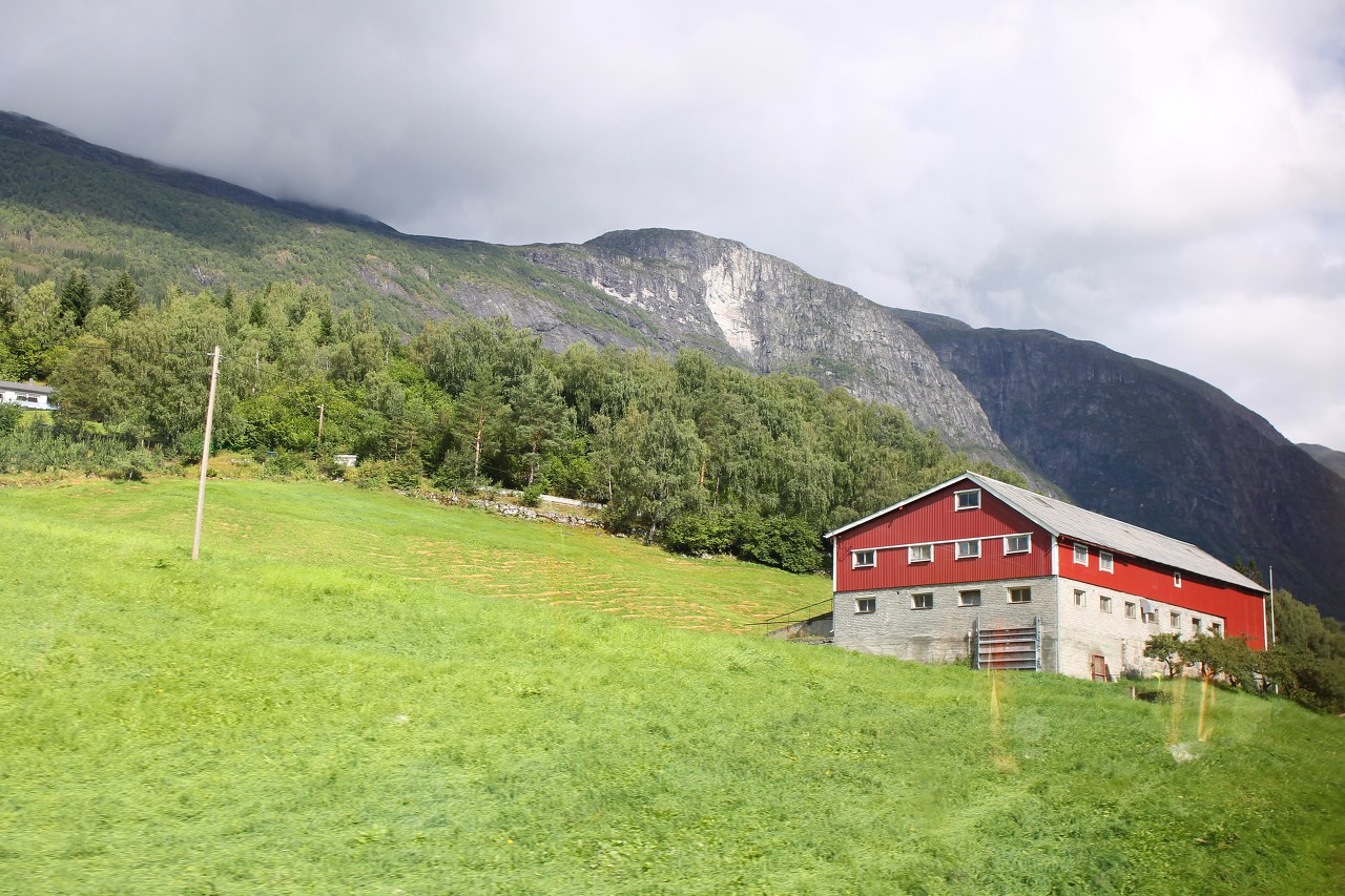
We drive up to the small town Stryn, the center of the commune of the same name, located in the farthest part of the Nordfjord. The town is known for its ski tracks, suitable for skiing even in
summer. The length of the tracks is about 10 kilometers, the upper lift
takes skiers to a height of 1068 meters...read more 
Fjordvegen - Loen
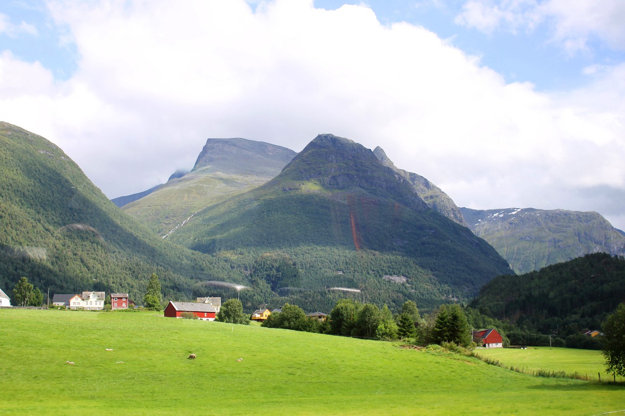
Another town on the road Fjordvegen - Loen, one of the most popular
resorts of Norway. The town is located in a picturesque valley between
lake Lovatnet and the Nordfjord...read more 
Fjordvegen - Olden
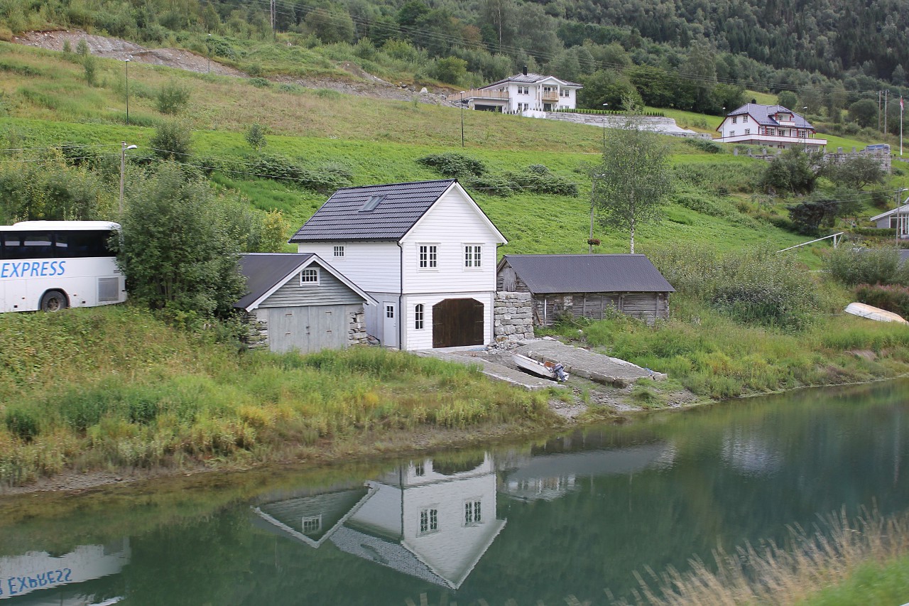
The small town of Olden is located at the end of Nordfjord, in the Oldebukta gulf. Here nature has formed a small elongated lake connected to the fjord by a channel...read more 
Oldevatnet Lake. Oldedalsvegen
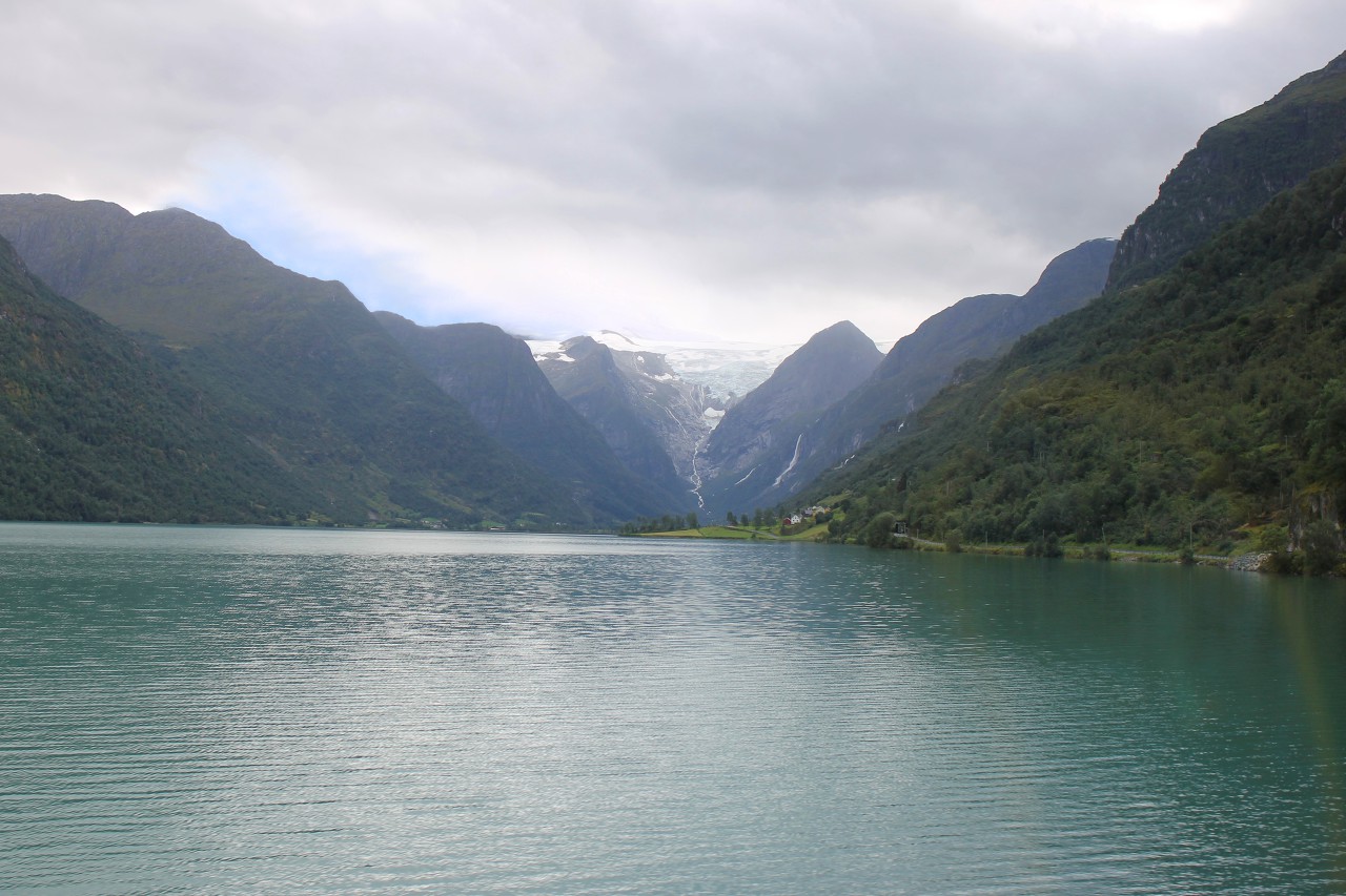
Continue along the Fv724 road towards the Brigsdal glacier. After the
town of Olden, the section that runs along the lakes Floen and
Oldevatnet begins, which is called Oldedalsvegen ("Olde valley road")...read more 
A Walk to Briksdalsbreen Glacier
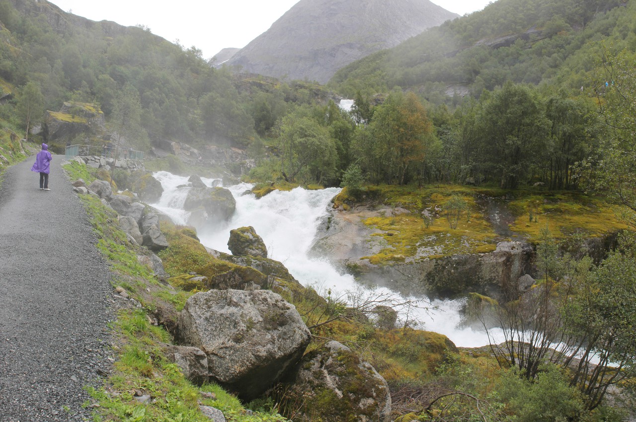
After driving along the Fv725 (Oldedalsvegen) road about five kilometers from
the southern edge of Lake Oldevatnet, we found ourselves in the tiny
village of Briksdalsbre. The Briksdalsbreen Glacier hiking trail starts here...read more 
Kleivafossen Waterfall
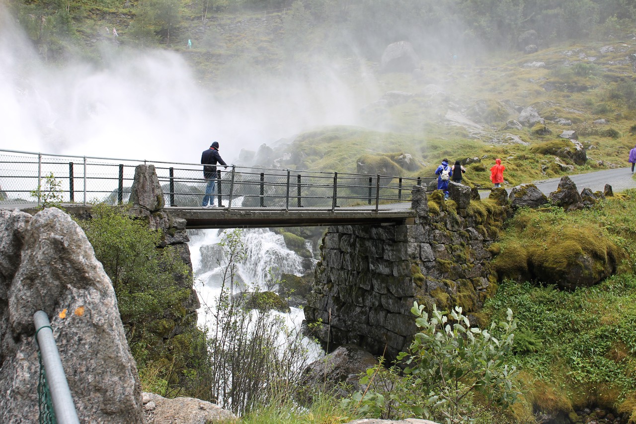
About halfway to the Briksdalsbreen glacier, we have to cross a bridge over a stormy river that flows through a mountain valley. Just behind the bridge hangs a white cloud of water dust, formed by the Kleivafossen faterfall...read more 
Briksdalsbreen Glacier
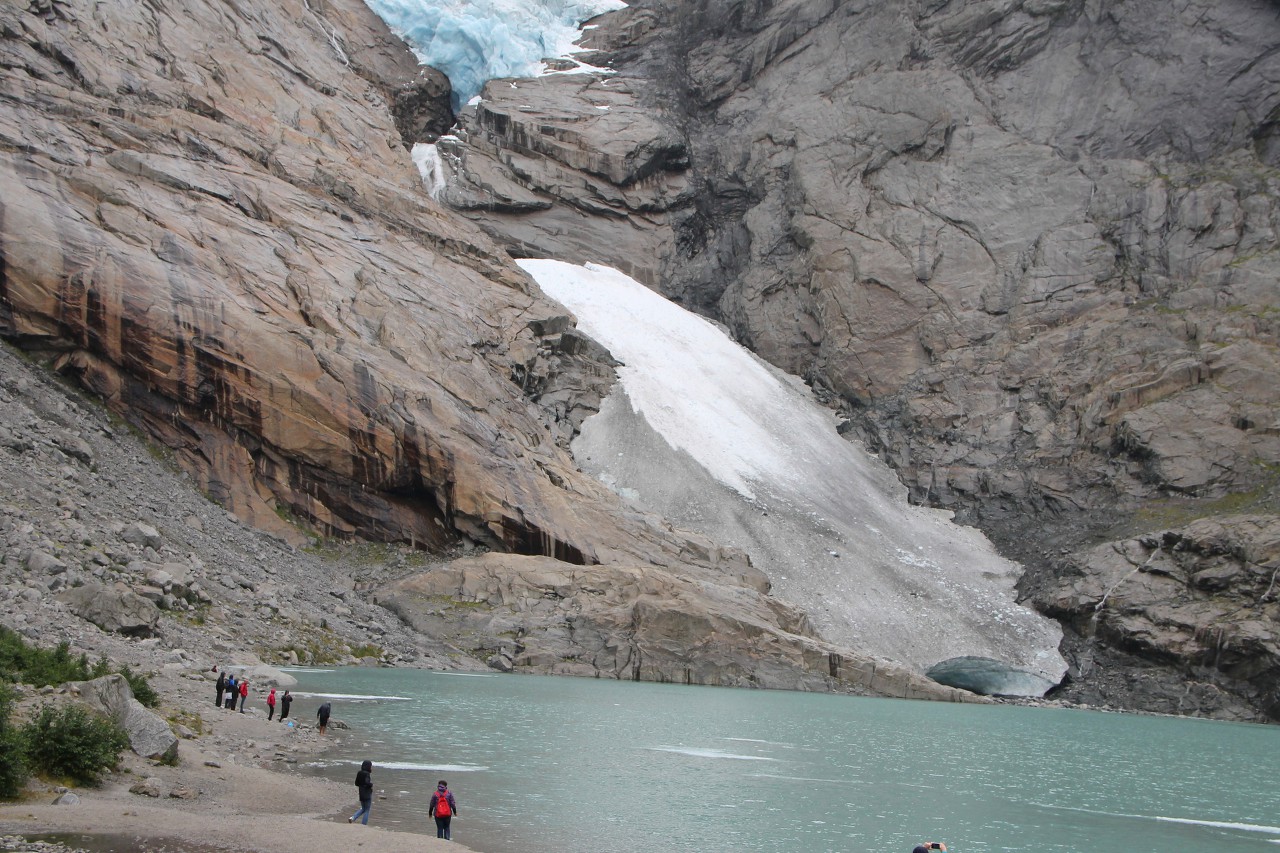
Finally, after walking about two kilometers from the village of Briksdalen through the most picturesque valley of The same name, about 40
minutes later I almost reached the foot of the ice tongue...read more 
Down along the Briksdalen Valley
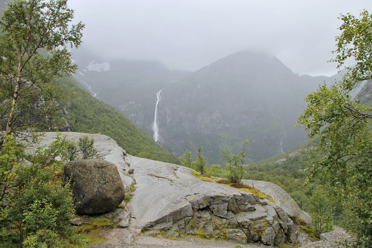
After admiring the ice blue Briksdalsbreen, heading back down the trail. Advancing from the mountains towards the ocean, the ice wall cut through mountain gorges and fjords, breaking the rocks and carrying their fragments in itself...read more 
Briksdalselva River
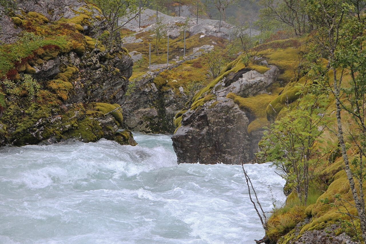
The Briksdalselva River in places overflows along the gentle banks, and in some places forms real small canyons....read more 
Briksdalsbre Village
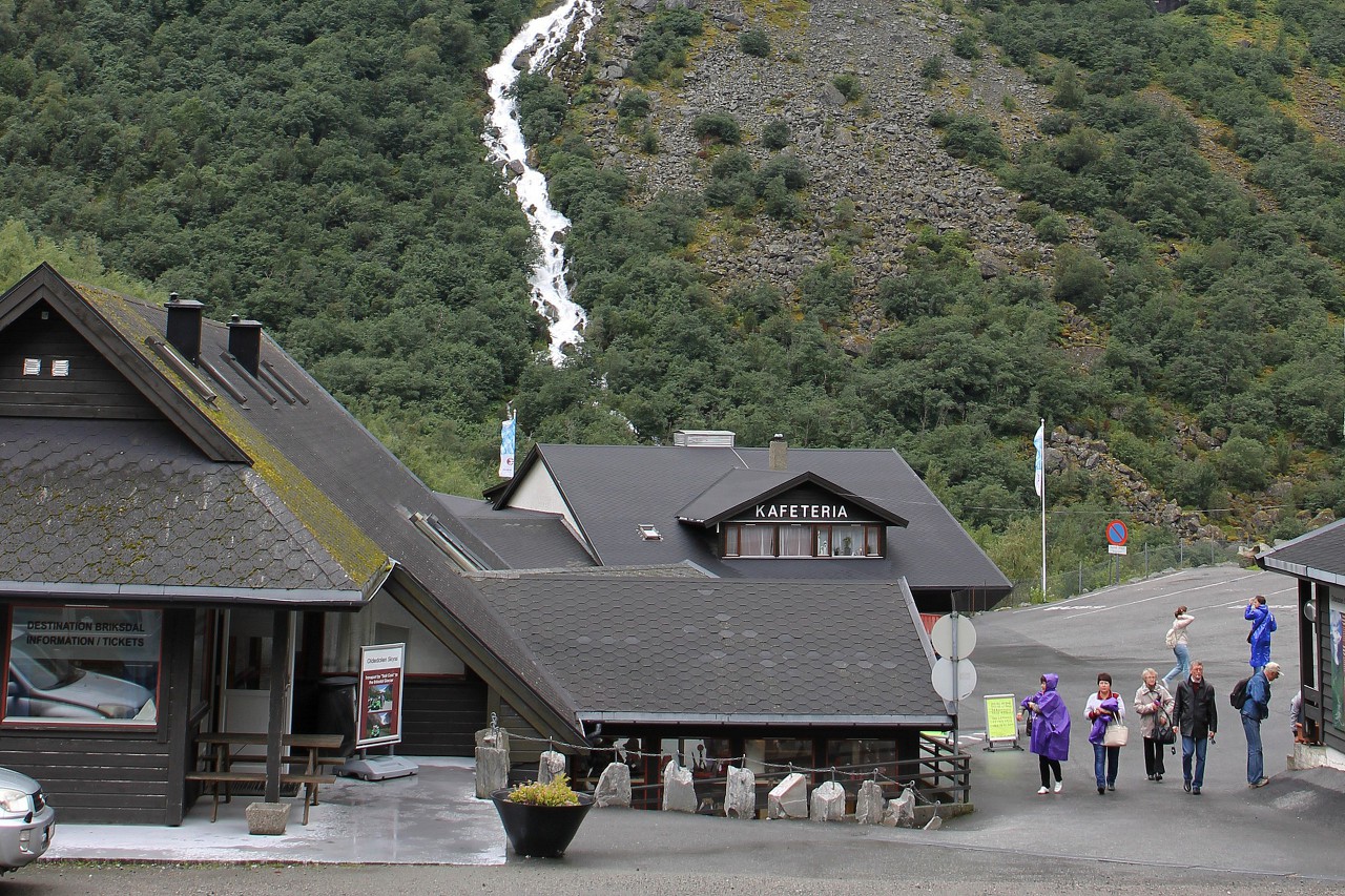
The walk to the glacier ended with a return to the tiny village where the walking route begins. ...read more 
Old Olden Church
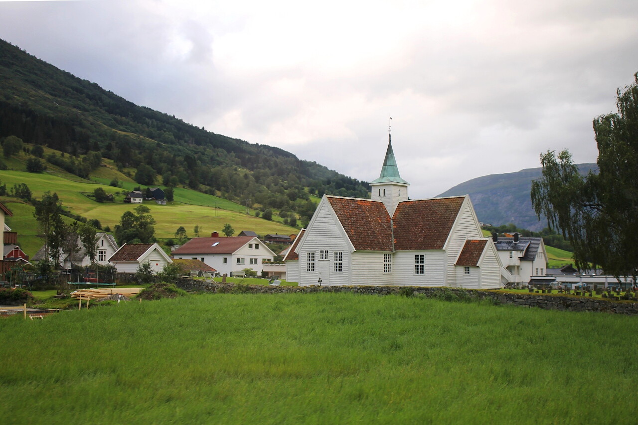
After a walk through the mountain valley to the Briksdalsbreen glacier and a
hearty lunch in the village of Briksdalsdal, we drive back along the
already familiar road Fv724, going down the valley of the Dalelva River...read more 
Innvik and Utvik
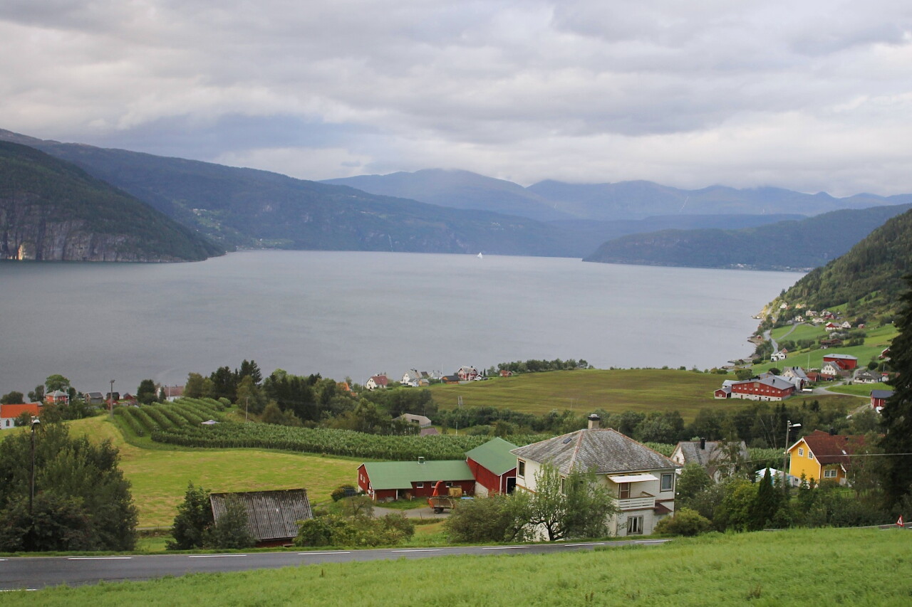
We continue on the Fv60 highway along the Nordfjord, passing the
snow-white cruise ship coming from Stryn. This part is called
Innvikfjorden...read more 
Utvikfjellet and Vora Mountains
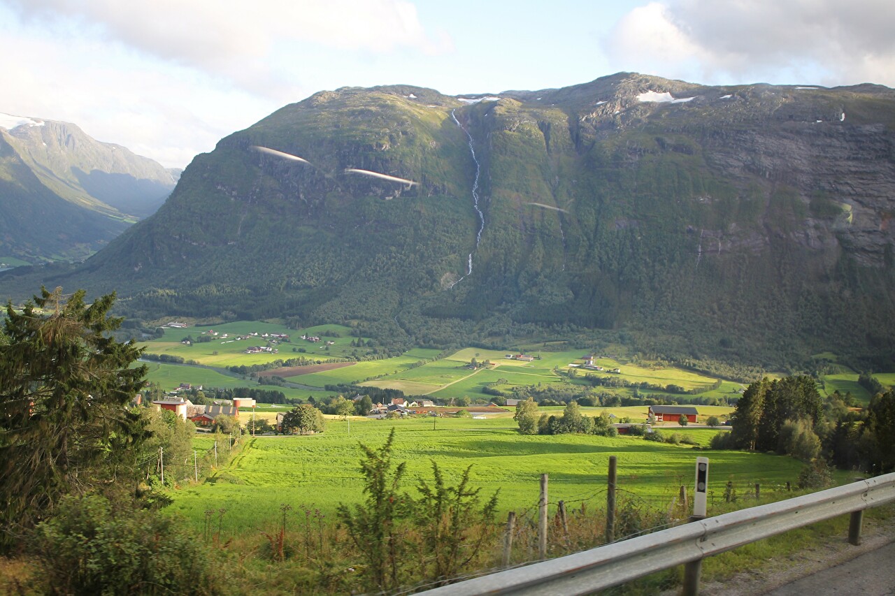
In Utvik, the road went up a steep serpentine. About 15 minutes ago, we
were driving almost to the water of the Nordfjord, and now I looked at
the navigator and found that we are at an altitude
of 630 meters. Here the Fv-60 highway crosses the Utvikfjellet mountain
range...read more 
Bøyabreen Glacier
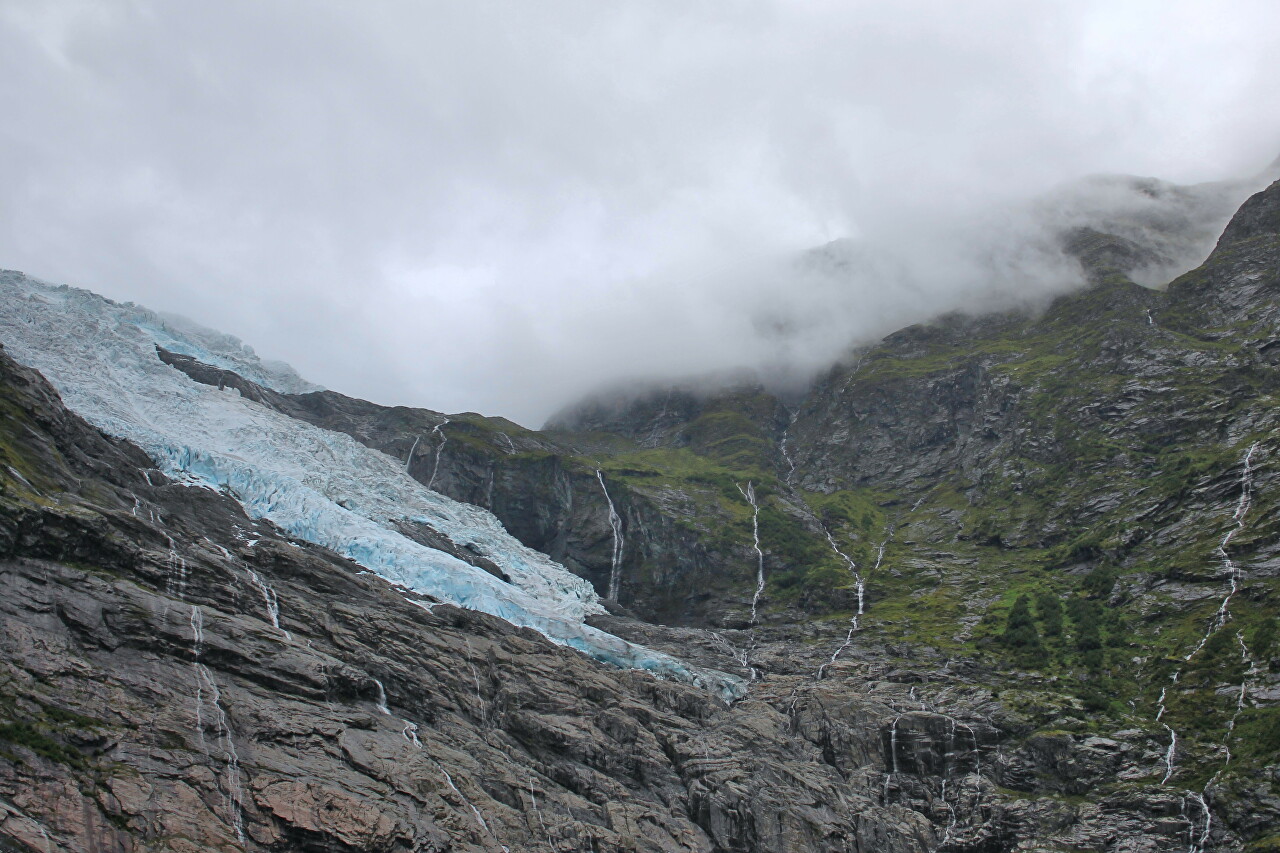
In the town of Skei, located on the shore of Lake Jølstravatnet, we left
the E39 motorway and turned onto the Rv5 road in the direction of
Sogndal. The road runs along the Sunnfjord Mountains, with the highest
point at 1551 meters on Mount Bjørga...read more 
Evening Sogndal
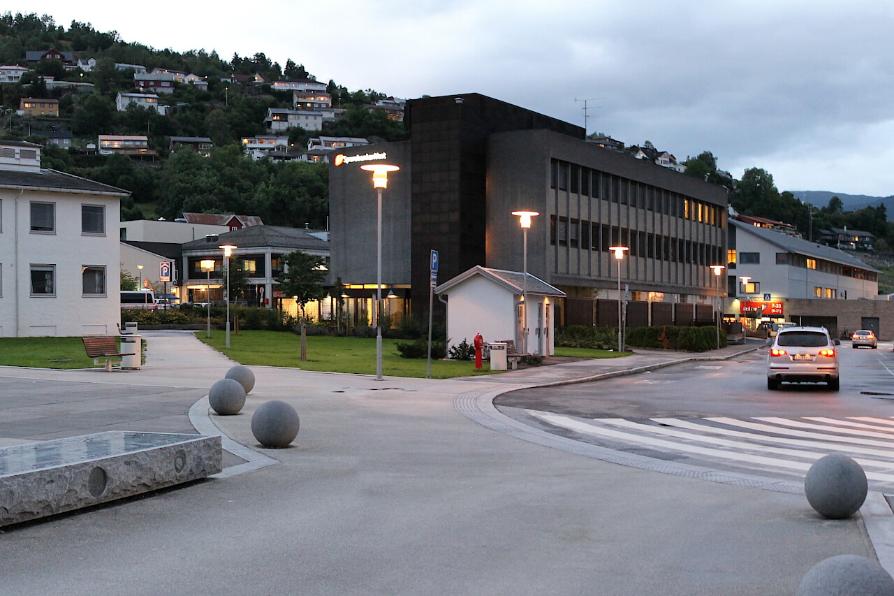
We stayed overnight in a small town on the banks of the Sognefjord. It
was already quite late, and there wasn't much hope of buying anything
for dinner. However, the hotel staff told me that there is still a
working supermarket nearby and I went there...read more 