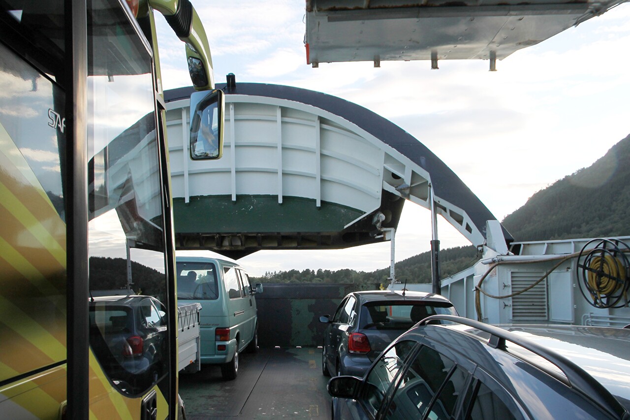
Halsafjord Views from a Ferry Board
A few minutes after we stopped on the ferry deck at Halsa pier, the ferry started its journey.
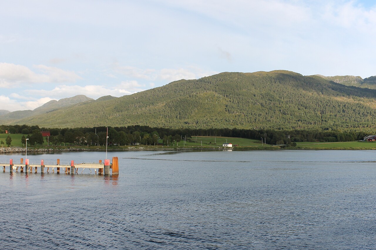
The Halsa-Kanestraum ferry takes only 20 minutes, so we will hurry to the upper deck to admire the beauty of Halsafjord.
Halsanaustan, or simply Halsa, is a small settlement on the shore of a fjord. Halsa is part of the commune (district) of the same name, but its "capital" is the town of Liabøen, located ten kilometers to the northeast, the population of the commune is just over one and a half thousand inhabitants.
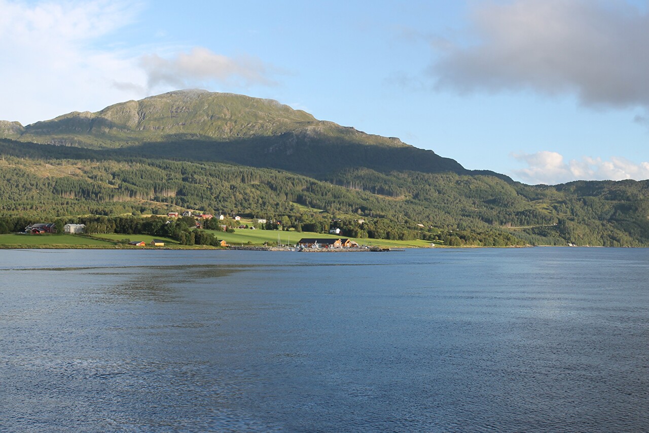
There are a dozen small white houses near the ferry pier, including a ferry office, cafe, and post office.
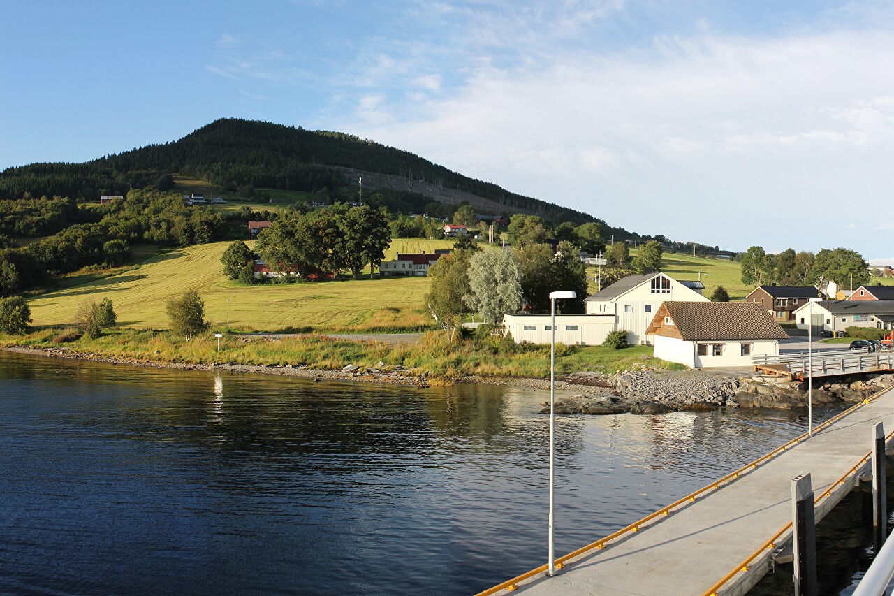
The rest of the houses of Halsanaustan are scattered over a huge area, among green fields, as most of the population of the commune is engaged in agriculture.
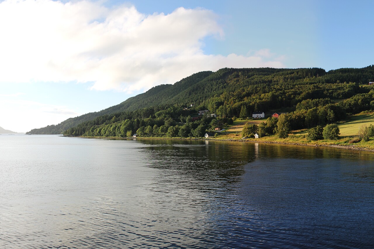
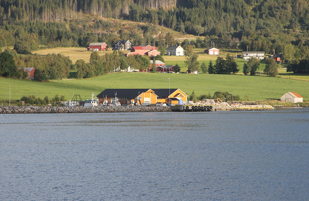
Three hundred meters south of the ferry crossing, you can see a small harbor protected by a jetty made of natural stone, some of the inhabitants of Halsanaustan are engaged in marine fishing.
Another ferry, Førdefjord, is approaching from the south. To the left of the ferry, you can see the cages of a fish breeding farm.
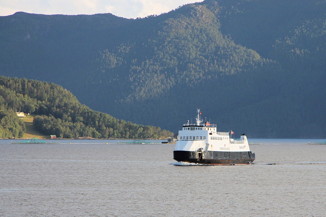
Where and from where this ship is going is unknown. As far as I know, there is no other ferry line here.
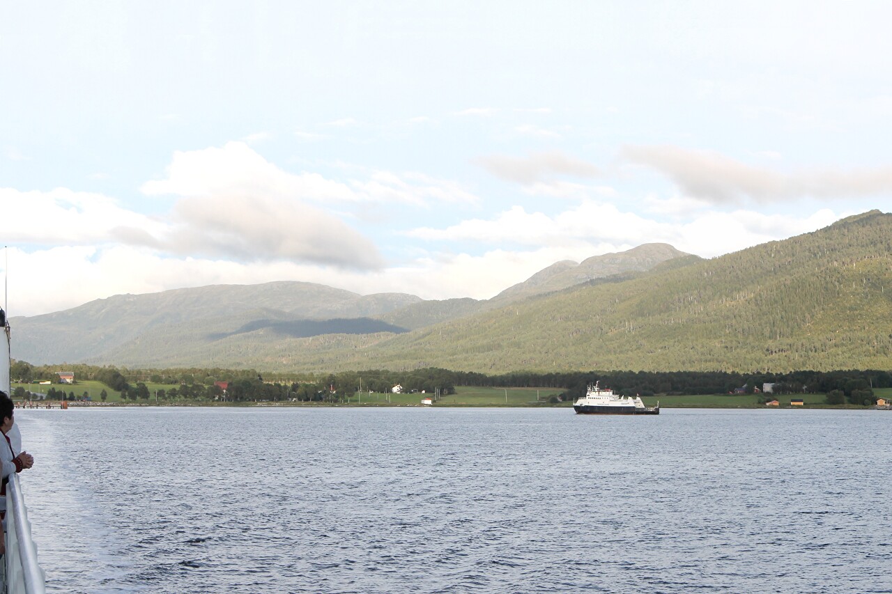
The Halsafjord is 1.5 to 3 kilometers wide, and the ferry crossing, by the way, runs along the widest section. In length, the fjord stretches for 10 kilometers from the island of Tustna to Trongfjord.
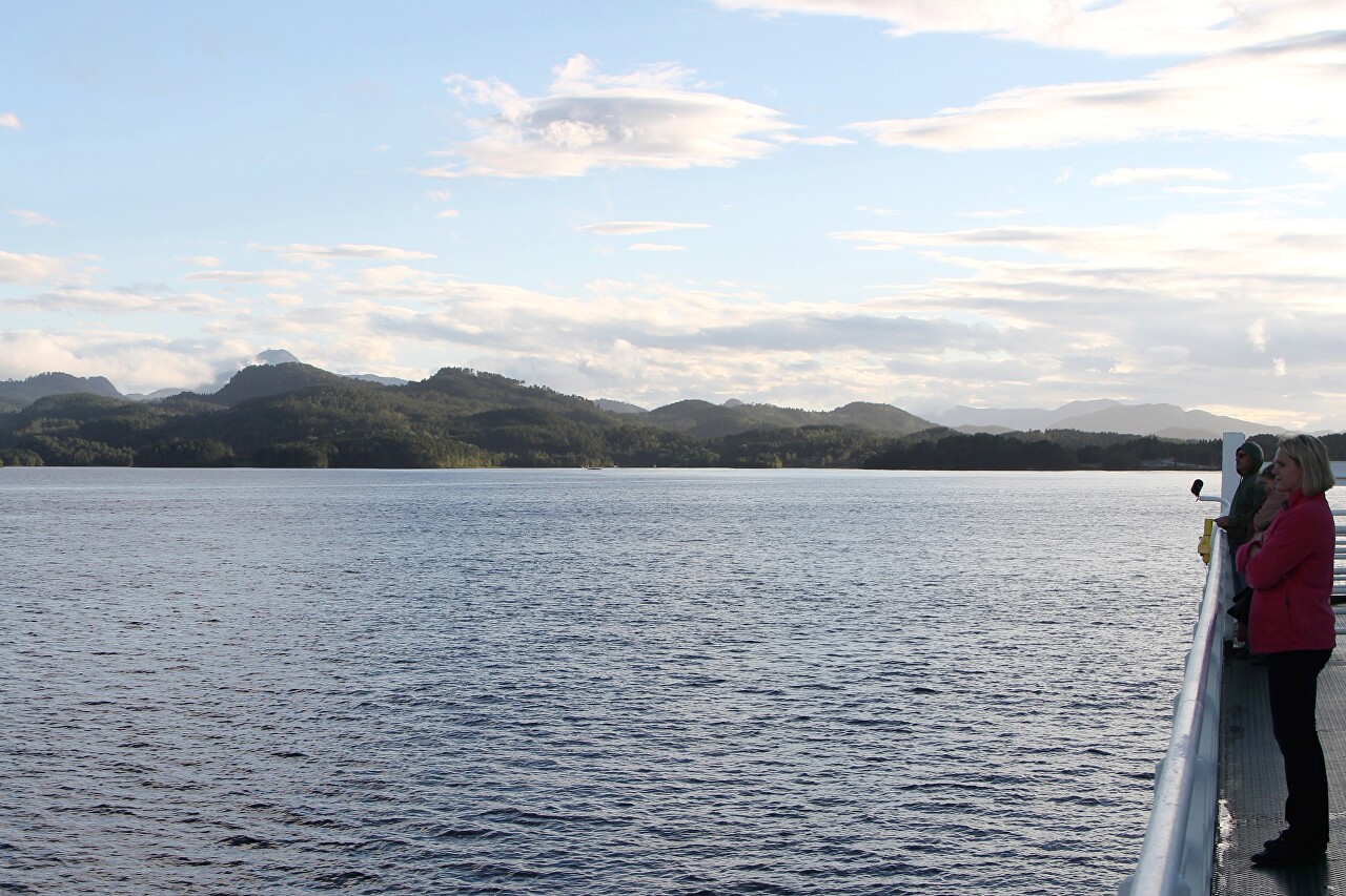
To the south, deep in the fjord, you can see the cloud-shrouded peaks of the Trollheimen mountain range.
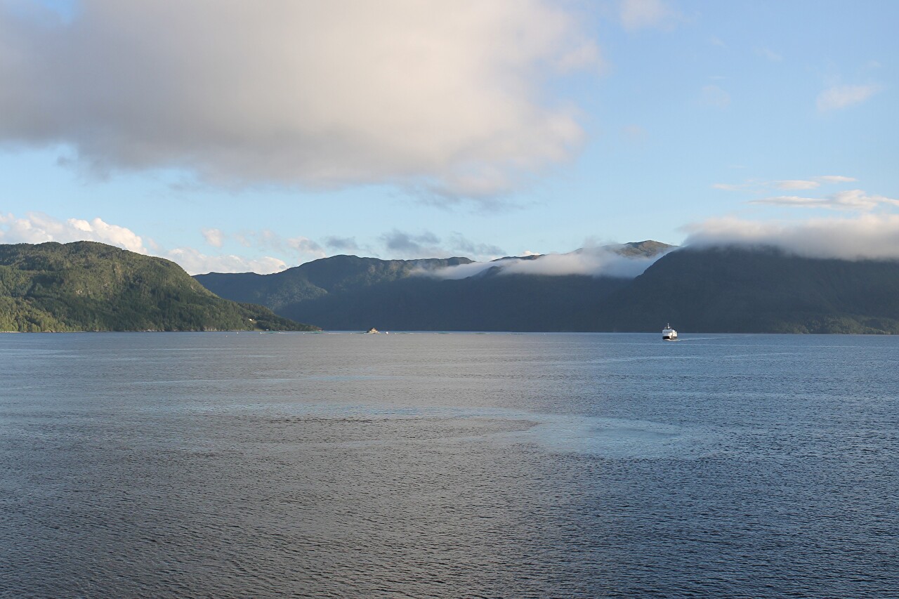
Approximately ten minutes after departure, we diverge from the oncoming ferry of our line.
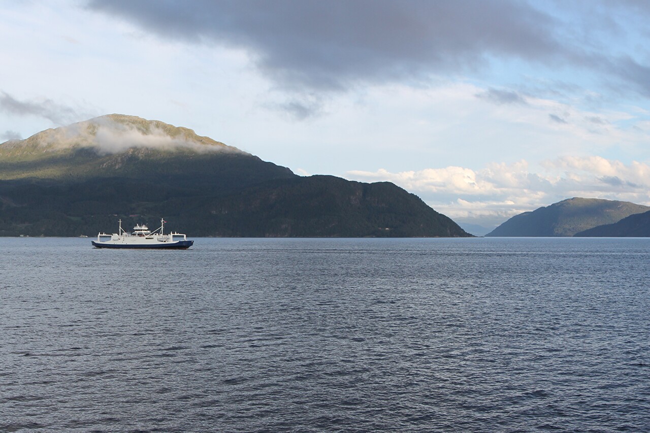
Traffic is heavy here and ships run during the day at 20-minute intervals.
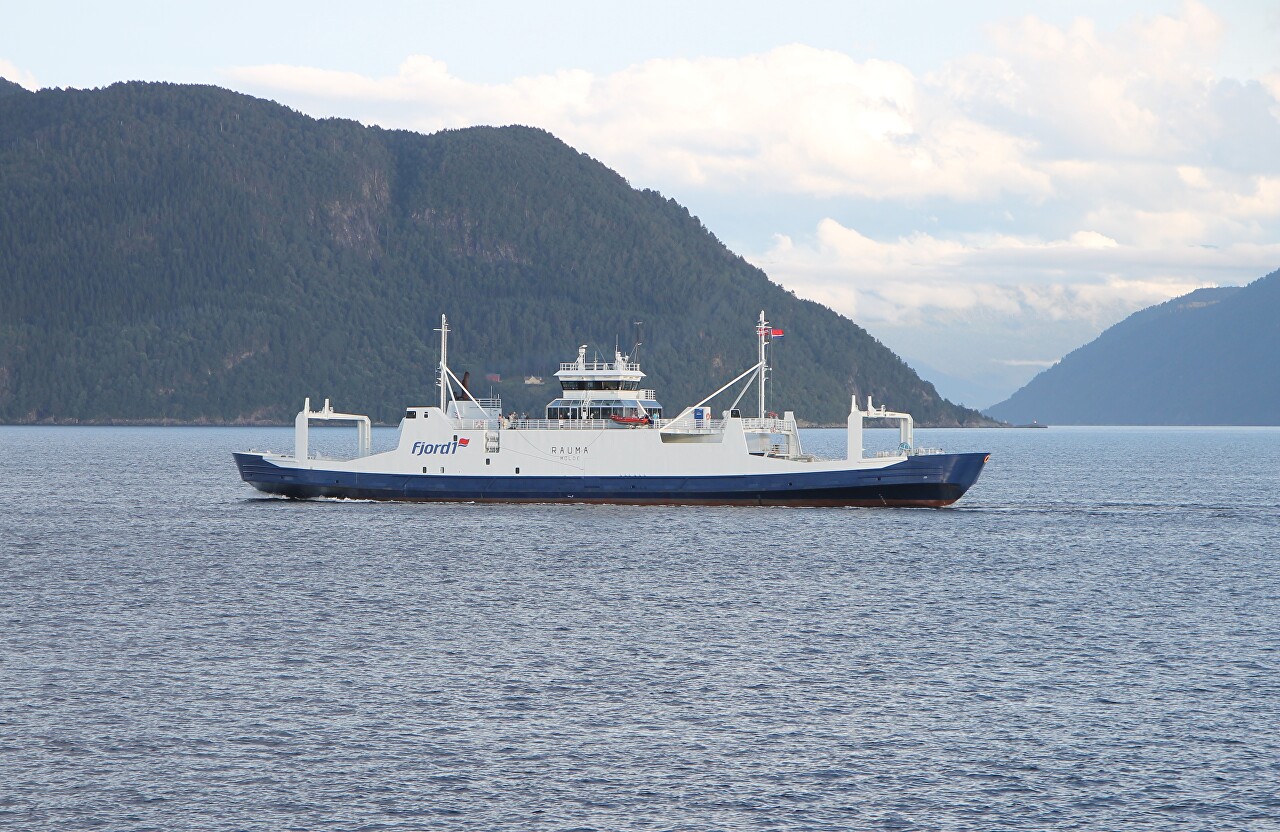
If you look to the north, you will see the steep mountain slopes of the island of Tustna, located at the mouth of the fjord.
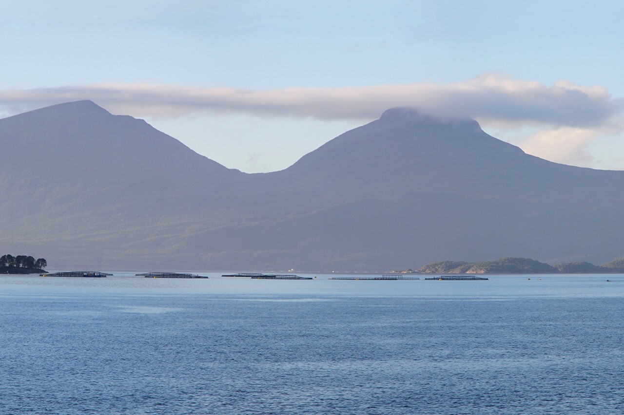
And to the right of it are the spectacular peaks of Stubblandet Island. The mountain range that gave the island its name consists of two ridges. The western one has a height of 908 meters.
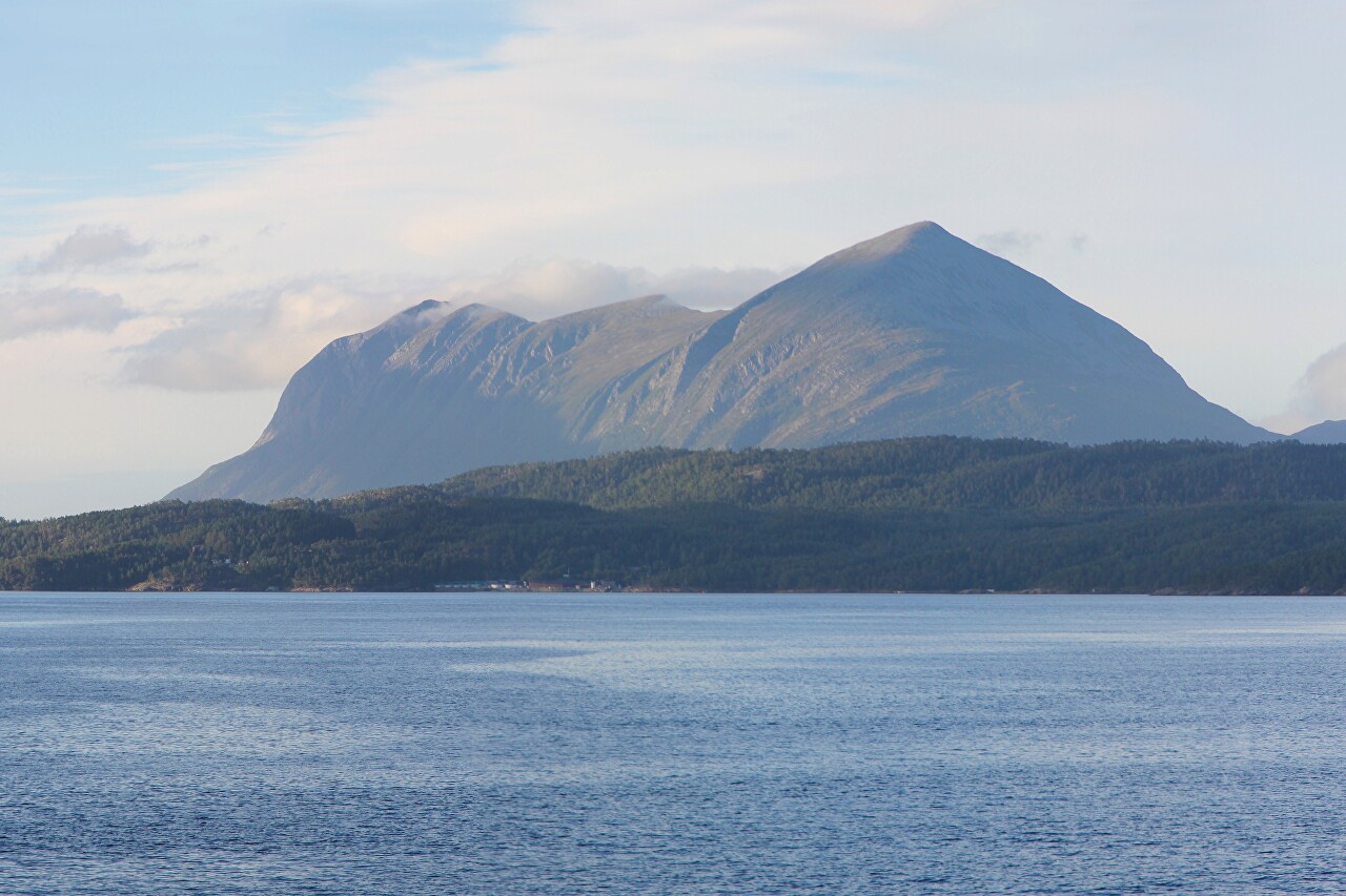
The top point of the eastern ridge is only two meters lower. Oddly enough, these harsh islands are inhabited and connected to the mainland by Road 680.
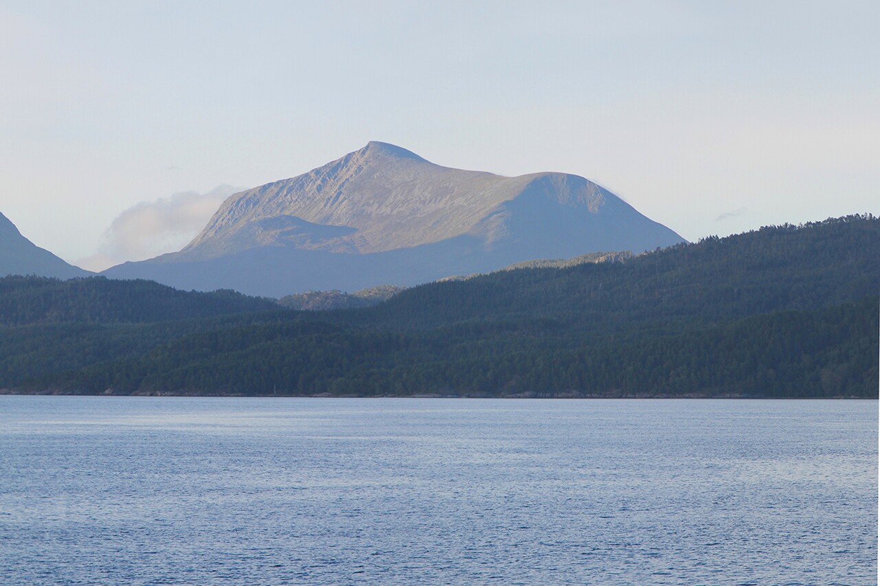
Another sea farm north of Kanestraum.

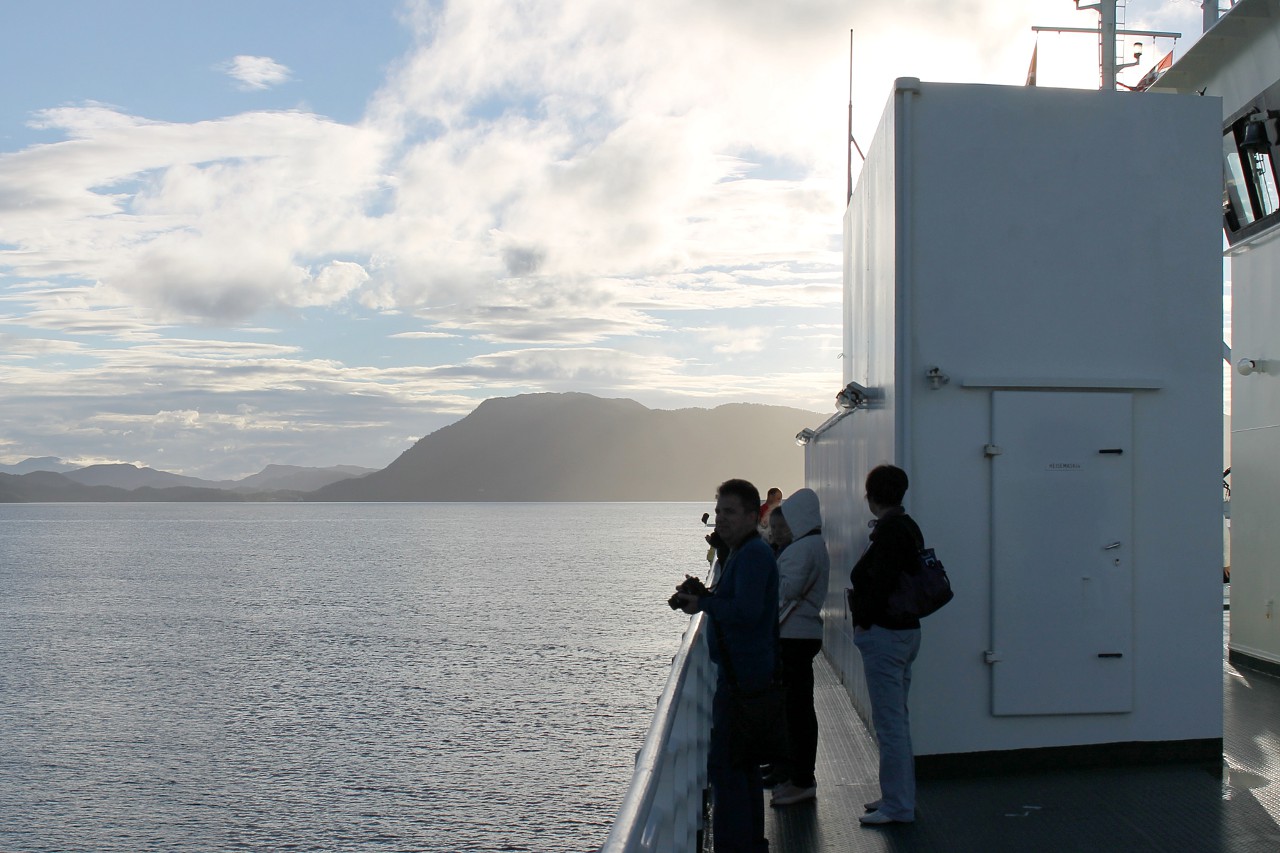
The second half of the day was sunny and warm, and the weather is quite southerly on the leeward side of the ferry's wheelhouse.
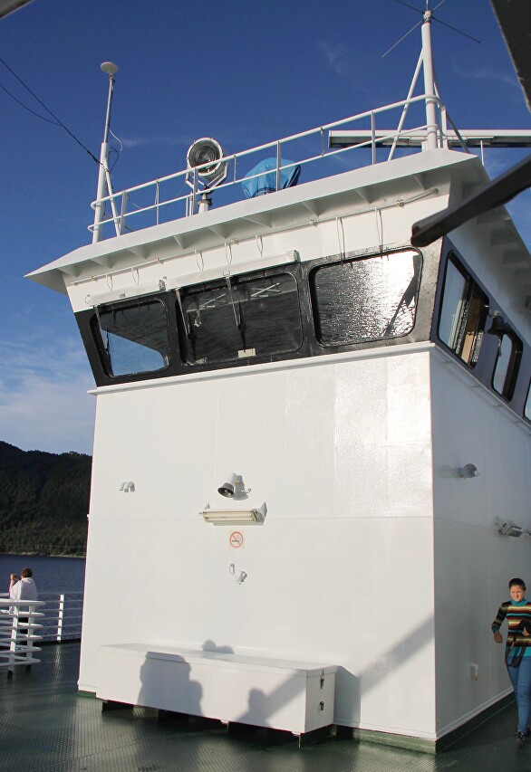
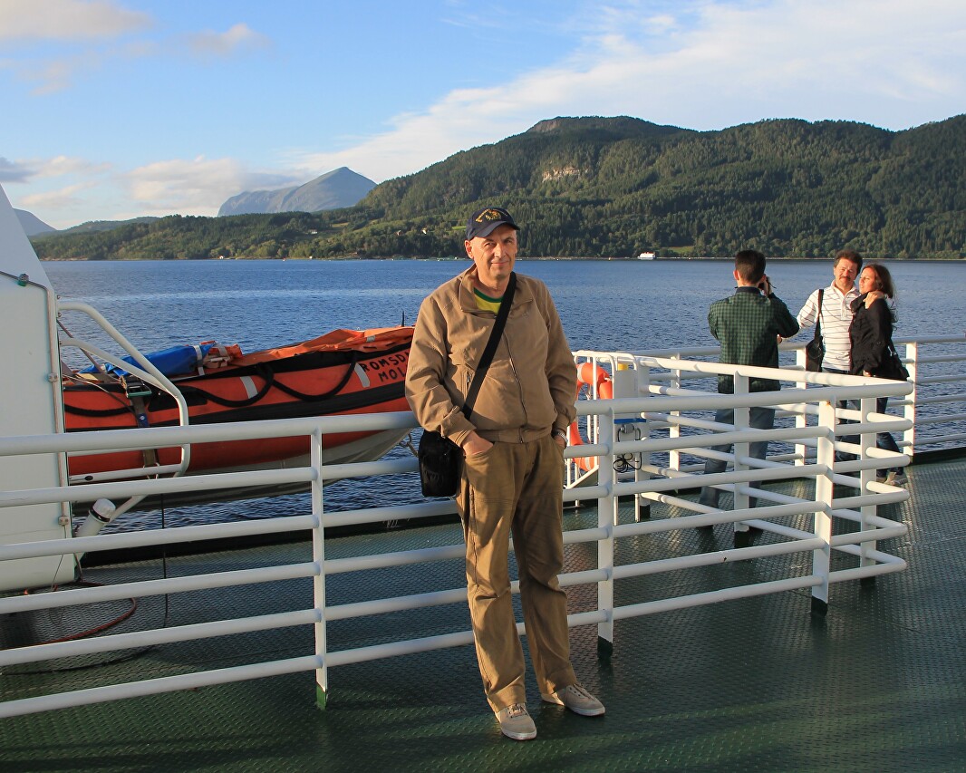
Tourists enjoy the beautiful views and take memorable pictures against their background. In addition to these photos, I took a few more panoramas. You can view them here.
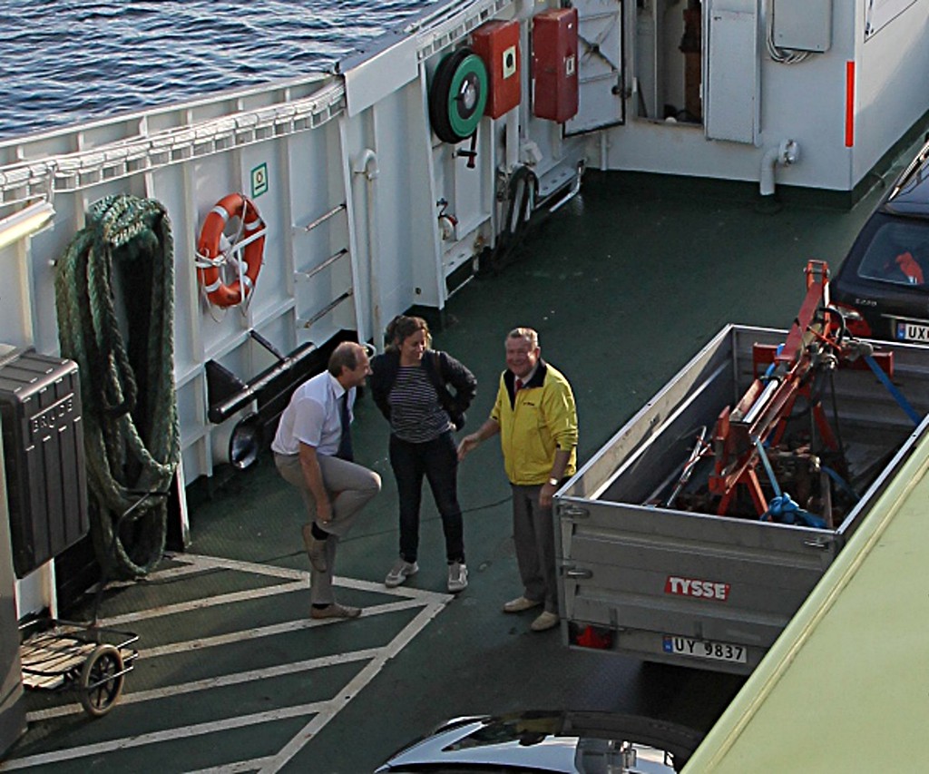
Our Estonian drivers and guide Marina use their free moments for a fun conversation - they have seen these beauties more than once.
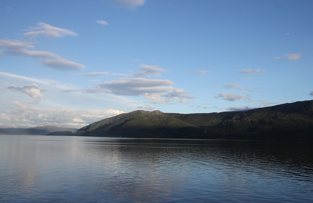
Approaching the western shore of the fjord. to the left are the gently sloping Fløystadfjollet Mountains, their highest point is at an altitude of 660 meters.
The ferry approaches the pier of the village of Kanestraum, raising the bow ramp as it goes. Here we will continue our journey along the E39 highway, before reaching Molde we still have to cross several fjords, but already on bridges.
