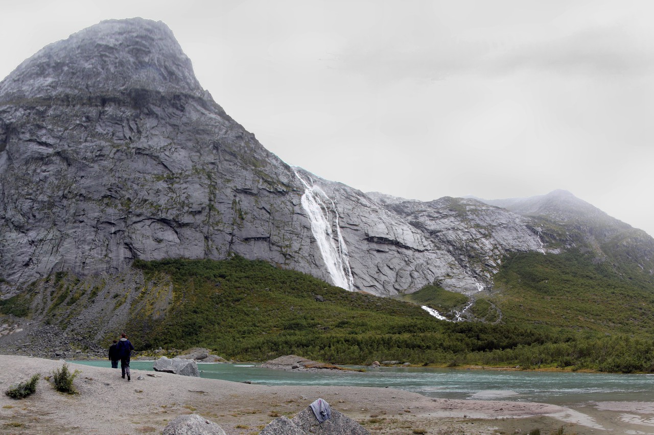
A Walk to Briksdalsbreen Glacier
After driving along the Fv725 (Oldedalsvegen) road about five kilometers from the southern edge of Lake Oldevatnet, we found ourselves in the tiny village of Briksdalsbre. The Briksdalsbreen Glacier hiking trail starts here.
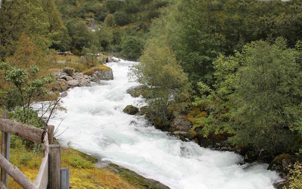
The trail runs along the stormy river Briksdalselva, which is formed as a result of the melting of a glacier.
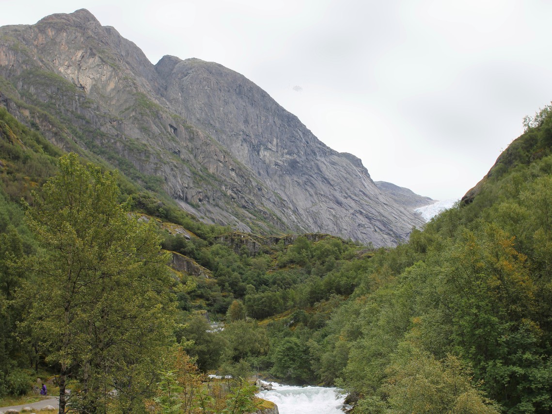
The river valley surrounded by high mountains is named Briksdalen. All local toponyms are directly related to the glacier.
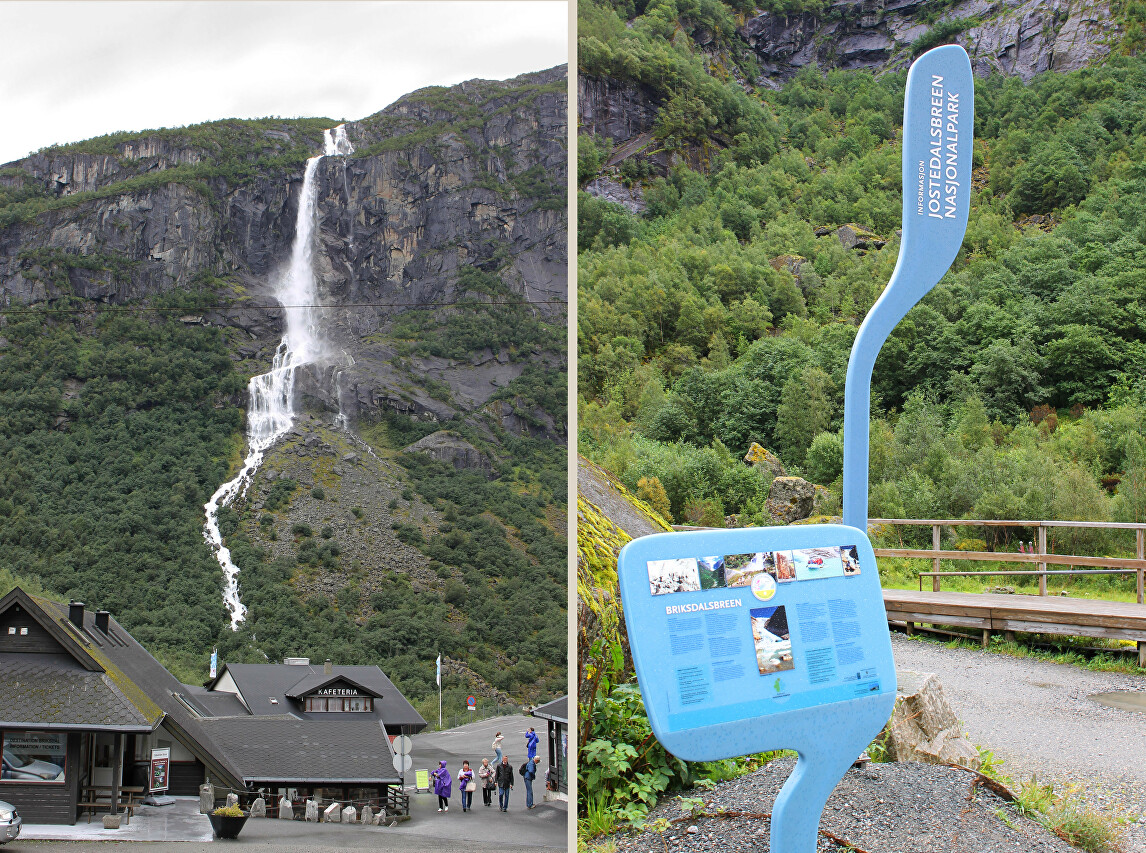
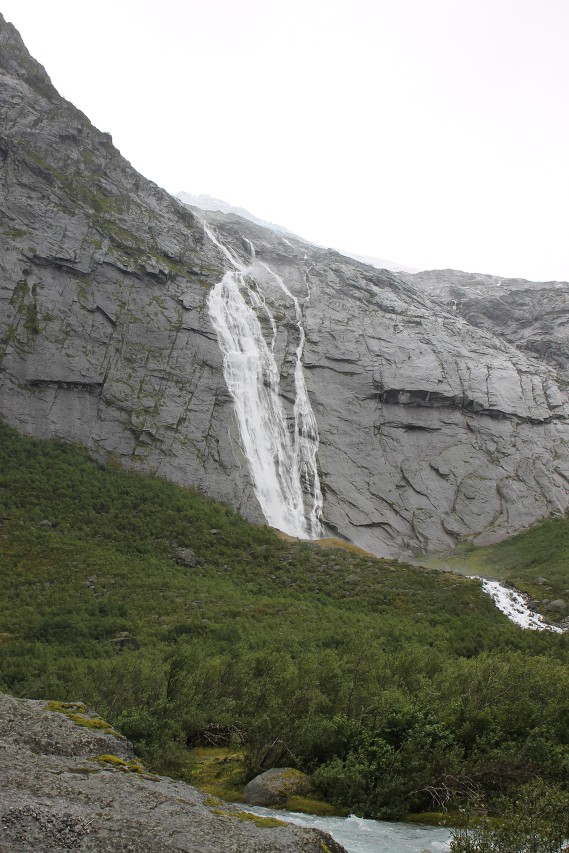
After walking a hundred steps along the trail, we will look back and admire the 309-meter-high Wolefossen Waterfall. The waterfall has three cascades, the largest of which has a height of 174 meters.
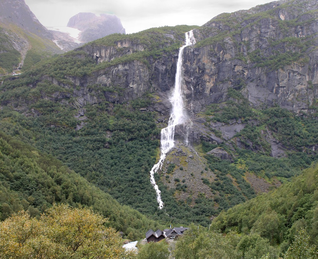
From the village to the glacier is about three kilometers and there are many natural beauties along the way.
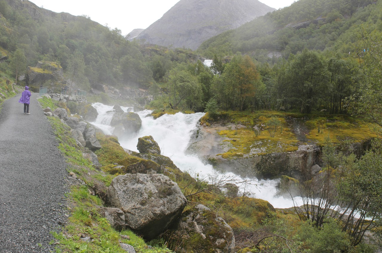
The road is well-rolled gravel, and it is quite comfortable to walk along it even without special trekking shoes.
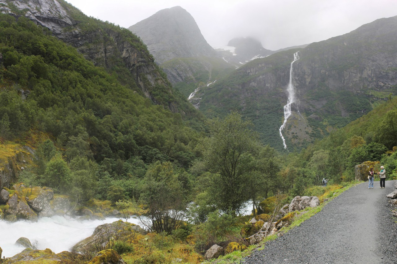
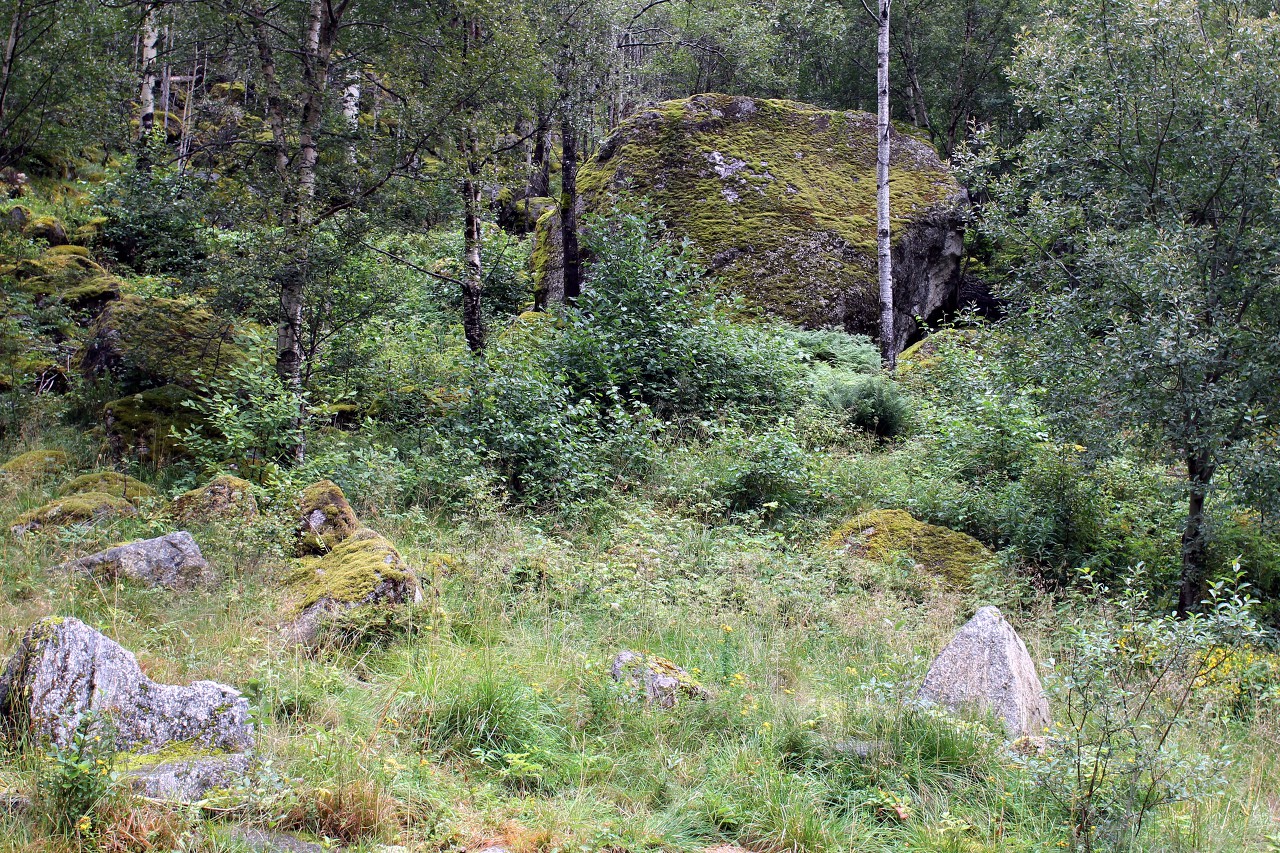
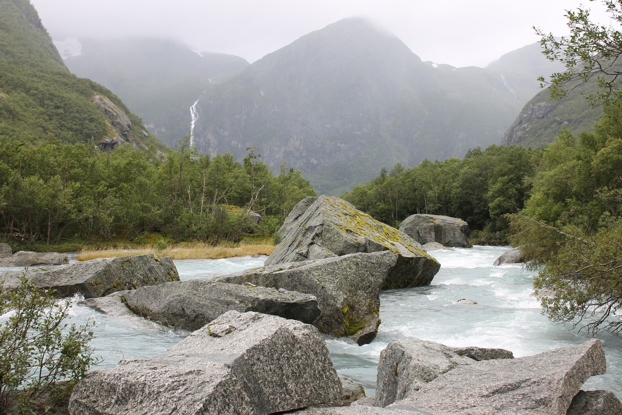
The slopes of the mountains are covered with dense forest, between the trees you can see a lot of huge boulders.
The river forms many picturesque rifts.
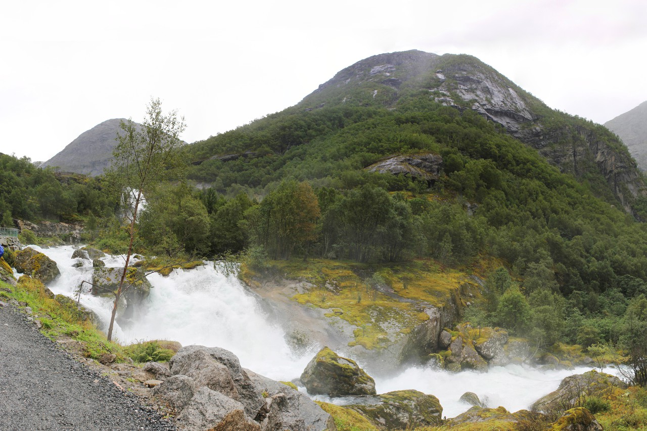
In the distance, you can already see the ice mass, this is the goal of our walk, but it is still quite far away.
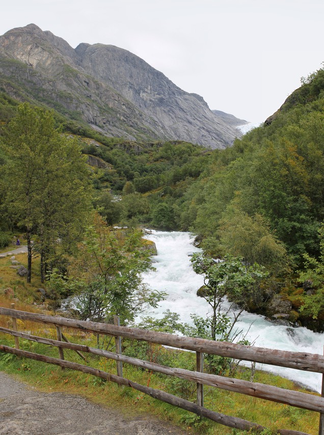
In the meantime, we have the Kleivafossen Waterfall ahead of us.
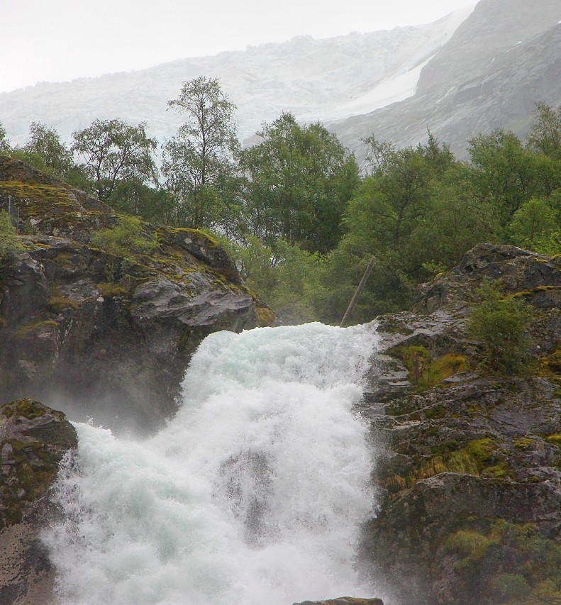
We cross the bridge in front of the waterfall to the other side of the river.
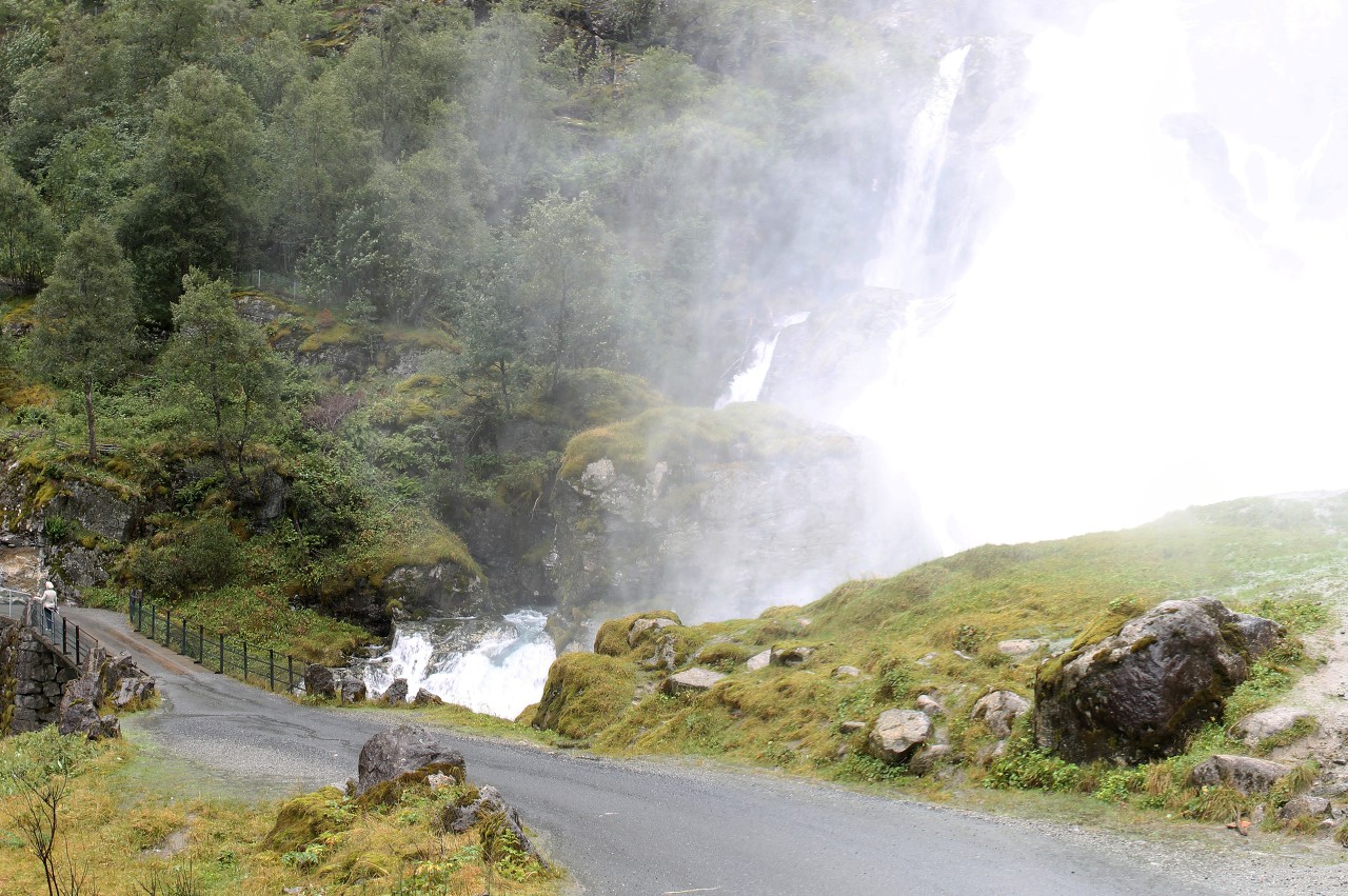
The road is a gentle serpentine winding down the mountainside, and somehow imperceptibly we find ourselves high above the waterfall. After estimating the height, I thought that the ascent was somehow very easy for me. Apparently, the purest mountain air gives you strength.
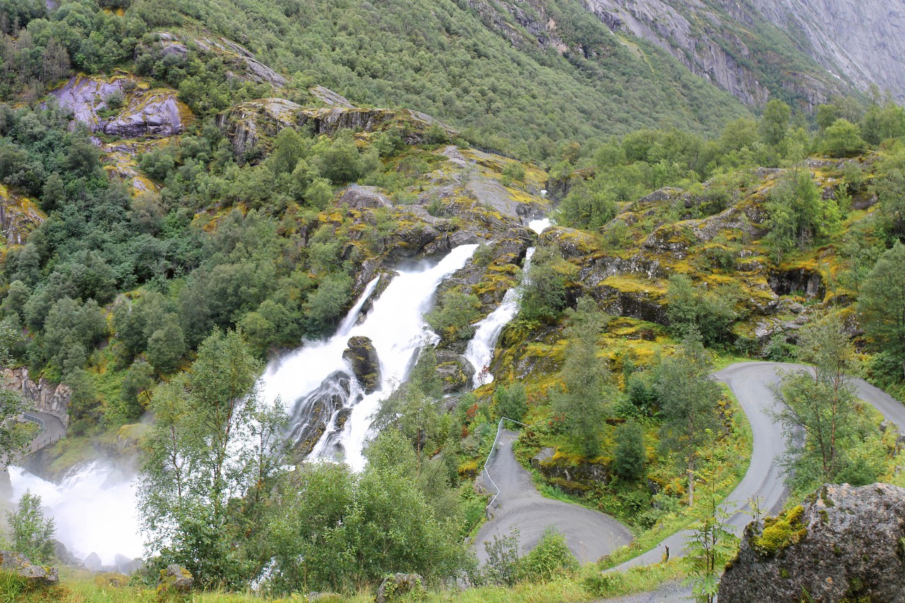
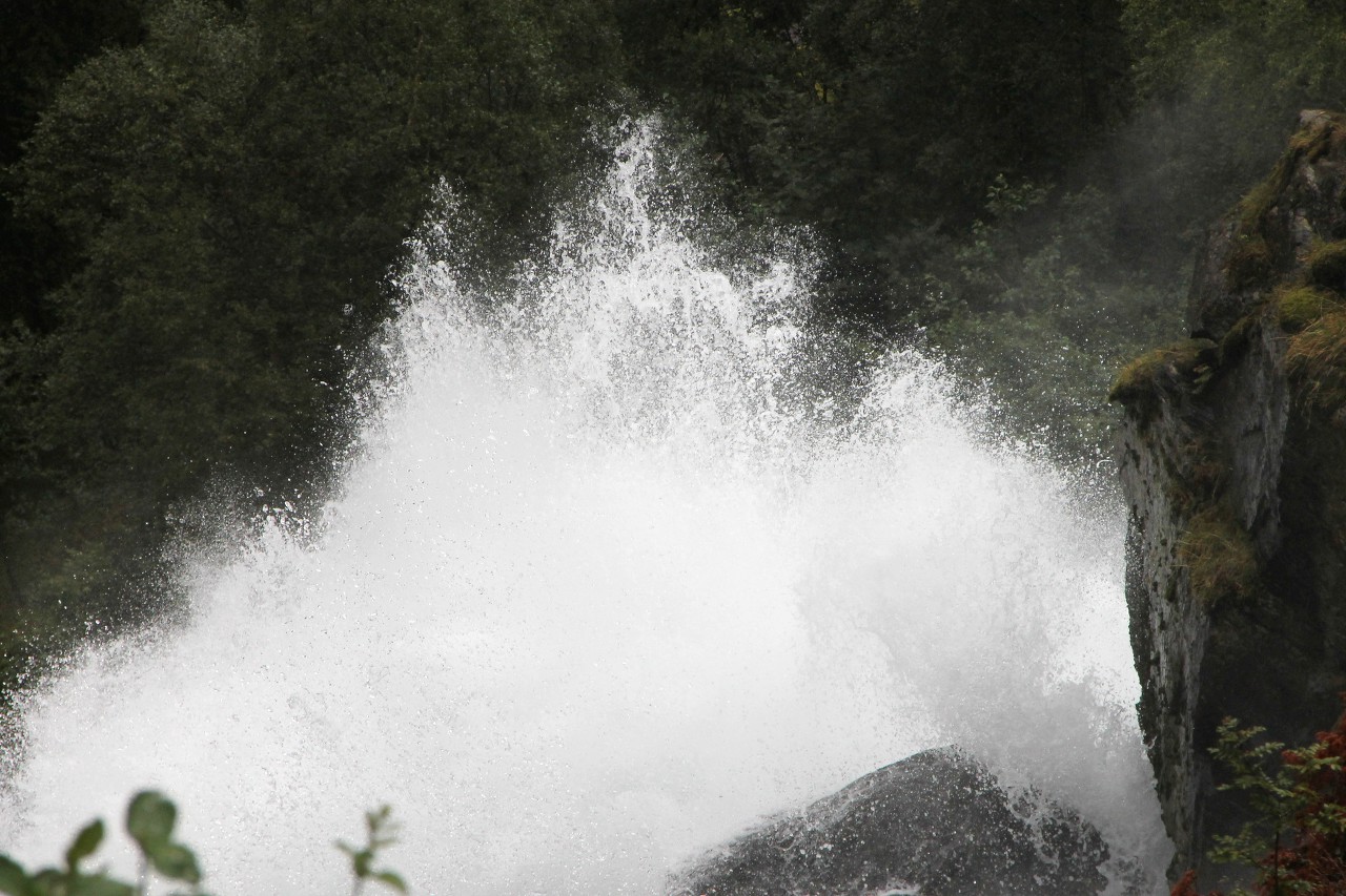
From this height, you can endlessly enjoy a powerful stream and clouds of spray, but you need to go further, to the glacier. I'll tell you more about the waterfall in the next article.
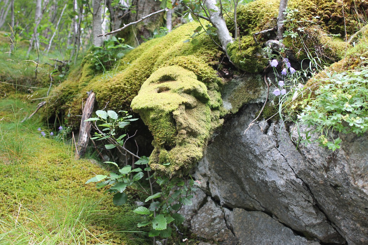
Walking along the path, I do not get tired of admiring the harsh beauty of the local nature. To my surprise, among the mosses and lichens in this harsh place, lilac flowers like bluebells are found on the stone slopes.
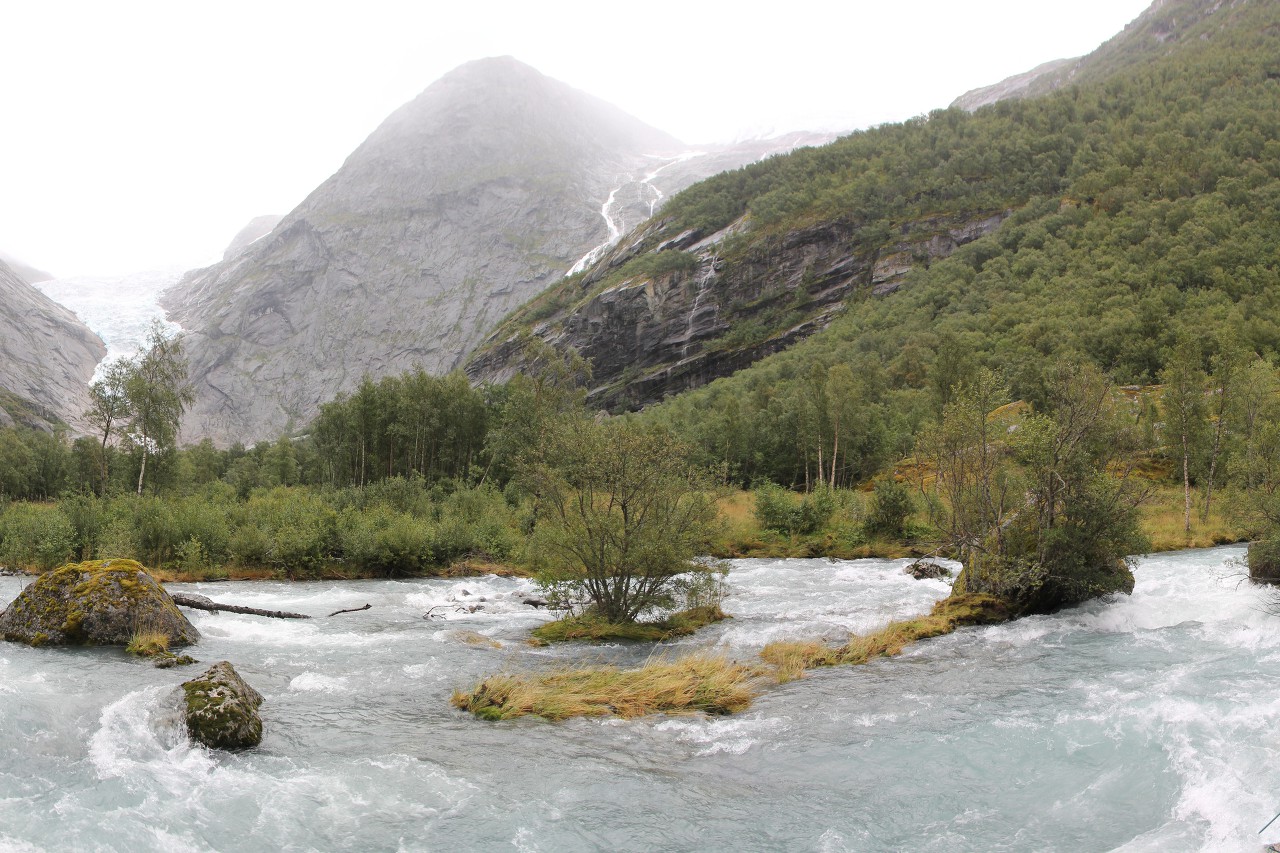
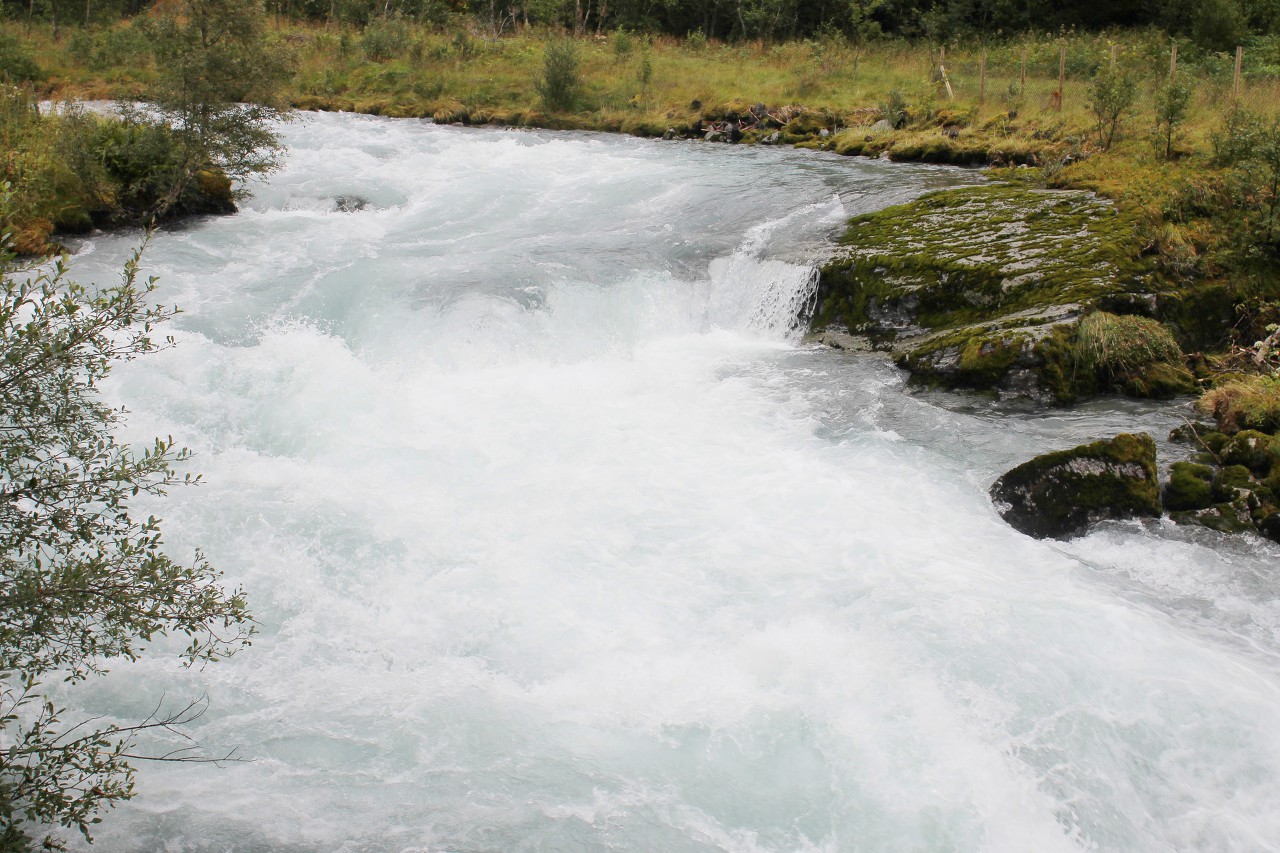
Above the waterfall, the river sometimes has wide sections, here the depth is small, but the current is very fast.
Where the road goes directly over the water, there is a fence made of wire mesh. Despite the low altitude, an accidental fall into a turbulent stream can end tragically.
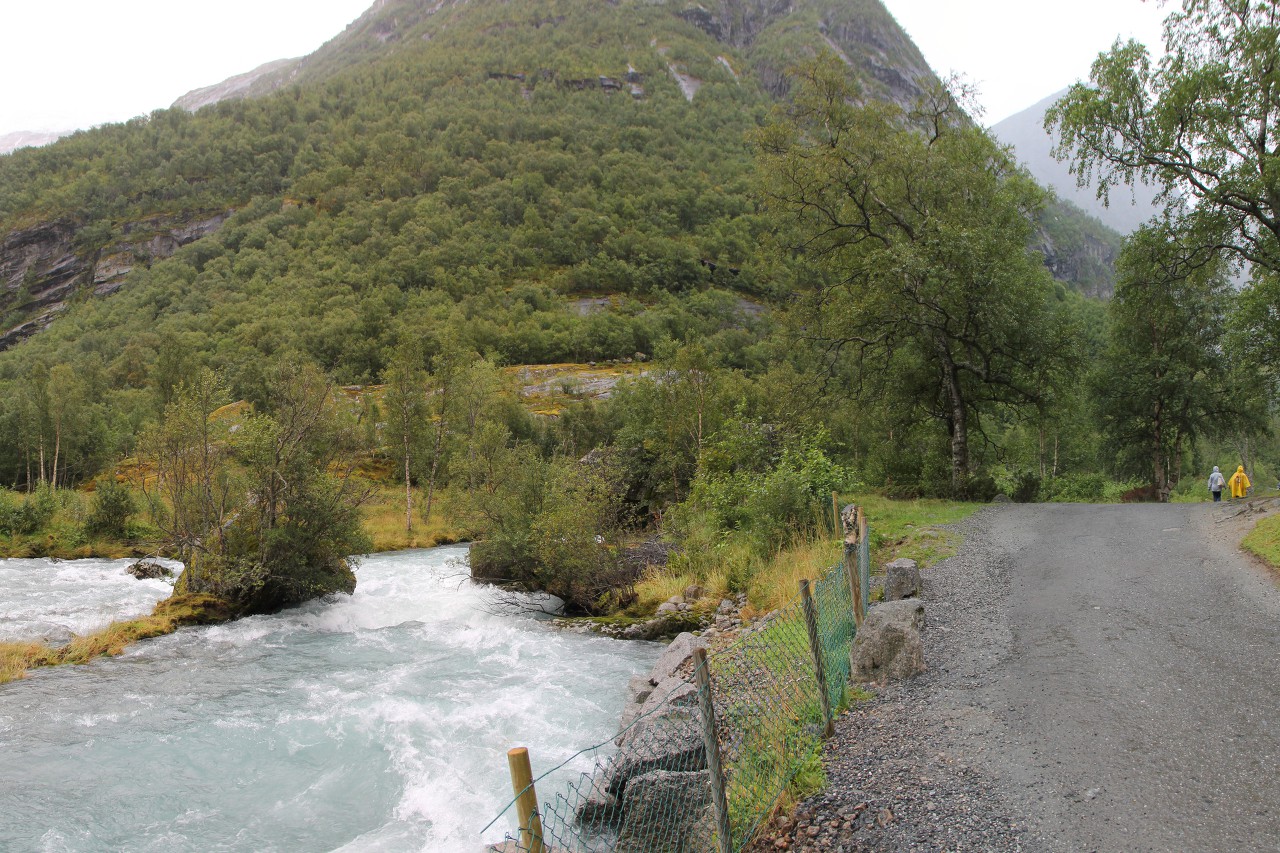
And again we cross the river on a wide bridge.
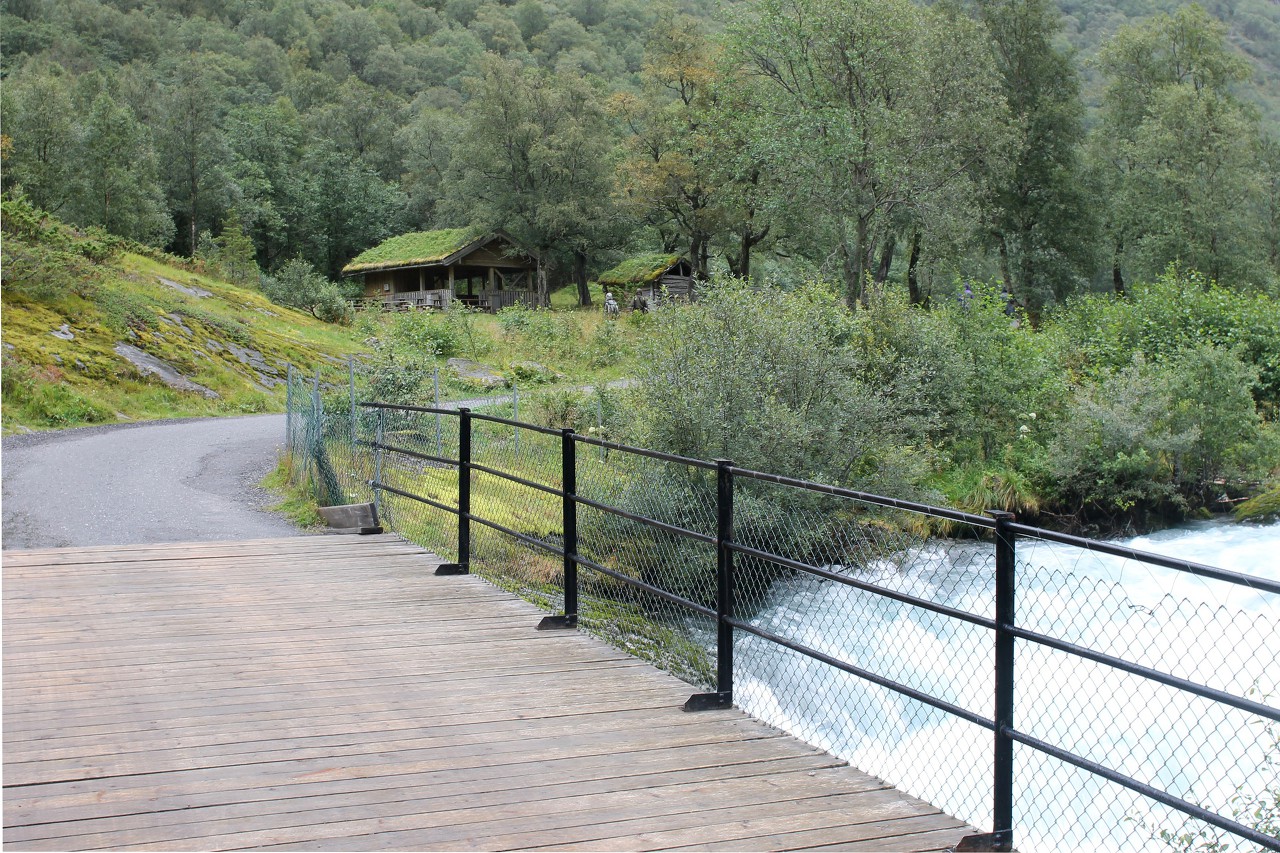
Above the bridge, you can observe a very rough roll.
Looking further, I see that most of the way has been covered and the glacier is only a short distance away.
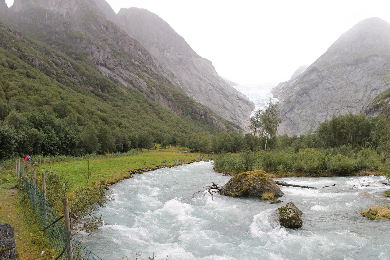
If you look back from the bridge, you can appreciate how high we climbed - at the village of Briksdalensbre, the Wolefossen waterfall was overhead, and now we are almost at the level of its middle ledge.
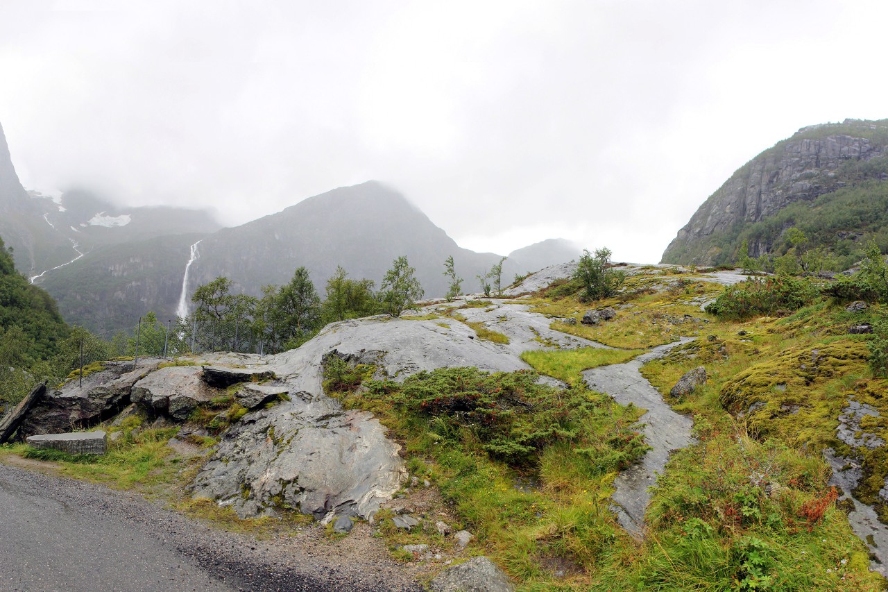
The bridge has a place for recreation and picnics. It looks like there was a cafe in this hut, but it's empty now. From the village, you can get here by mountain taxi, the so-called trollmobile, which is about two-thirds of the distance to the glacier.
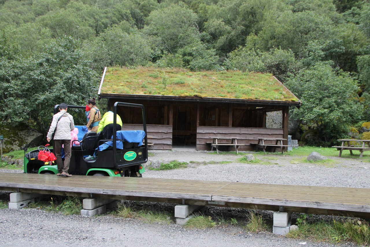
Now the glacier tongue is fully visible, but it is still about a kilometer away. A few empty huts with turf-covered roofs were again found along the road.
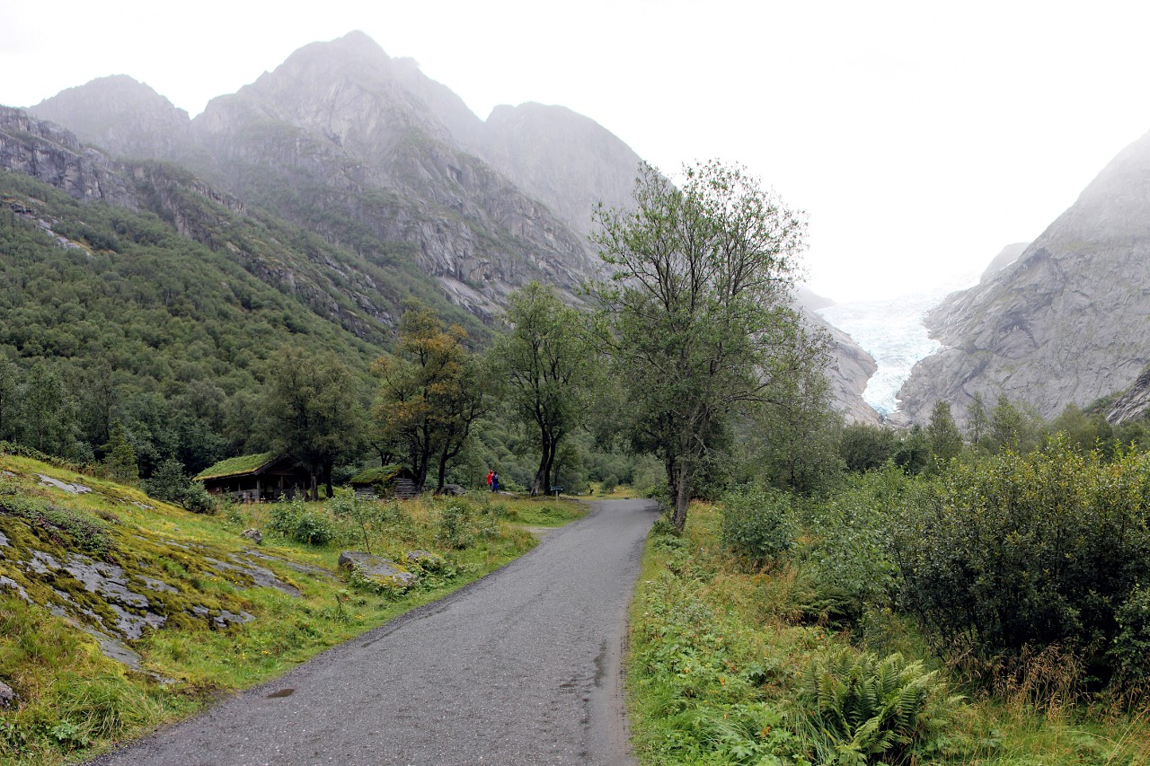
The path still goes gently uphill.
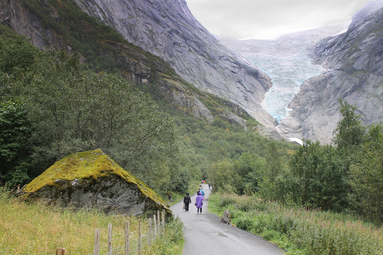
Let's look back again - a wonderful view of the almost perfectly semicircular bowl of the mountain valley.
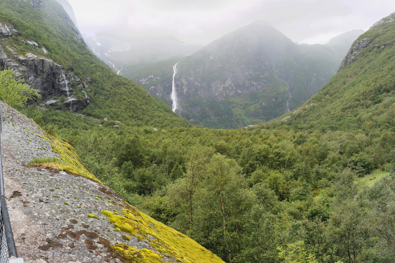
Large sections of rocks begin, smoothed out by the movement of ice masses.
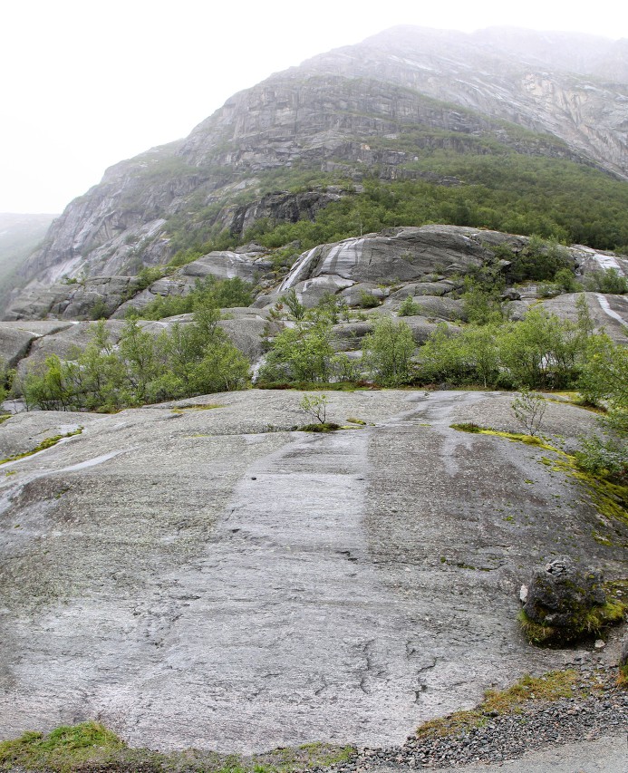
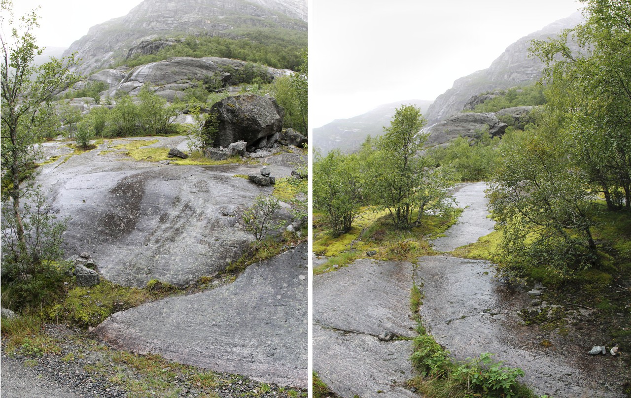
Surprisingly, in some places vegetation is kept on the stone surface, which confirms the well-known proverb "And trees grow on the stones."
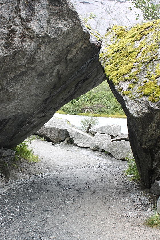
Another attraction is that the trail passes under an arch formed by two flat boulders. The rocks were brought by the glacier during its movement from the mountains and remained here after the ice melted.
To the right, the Tjøtafossen waterfall, which originates at an altitude of 1,129 meters, flows down a bare stone slope.
The upper course of the Briksdalenselva River is relatively calm, with huge chunks of rock effectively scattered along it.
Finally, we reached the lake that lies at the foot of the Bixdalsbreen Glacier.
