Oldevatnet Lake. Oldedalsvegen
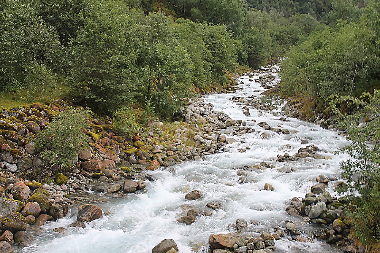
Continue along the Fv724 road towards the Brigsdal glacier. After the town of Olden, the section that runs along the lakes Floen and Oldevatnet begins, which is called Oldedalsvegen ("Olde valley road"). Part of the route goes along the eastern banks, so from my seat I could only contemplate the steep mountain slopes and rapid rivers.
Here I finally saw from my position the waters of lake Oldevatnet, which at this point is divided into Northern and southern parts.
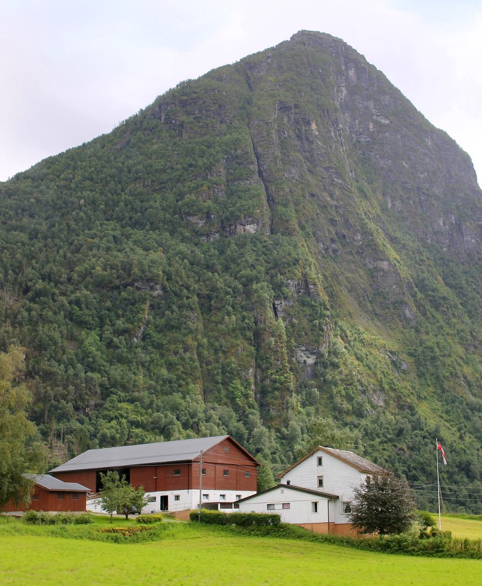
The 982-meter-high Klovane mountain covers the sky above the eastern shore, and the Gjerdane farm is located on its steep slope. On the map, I found a path from this farm to the top of the mountain, running along a gentle slope. It is difficult to judge the complexity of the route, but clearly there is a stunning view from above.
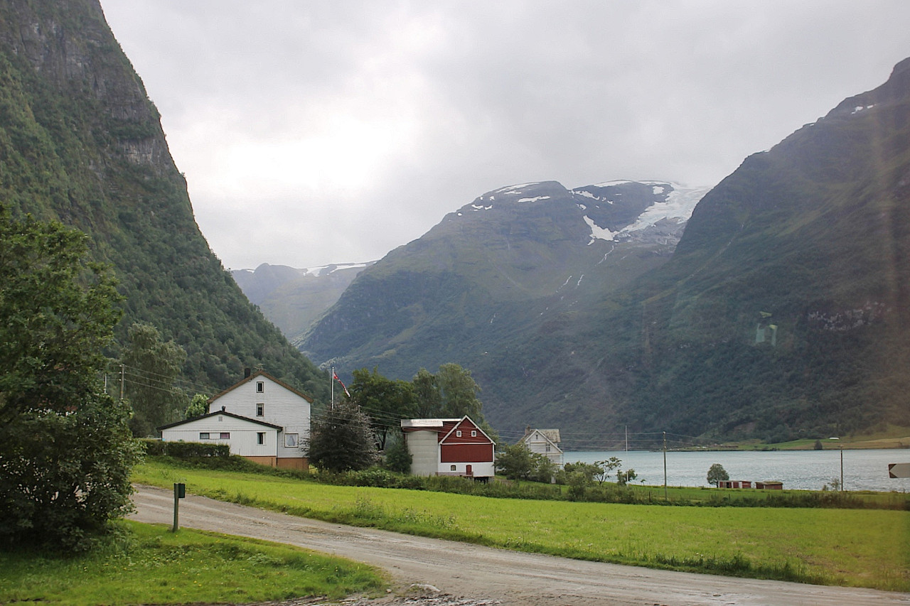
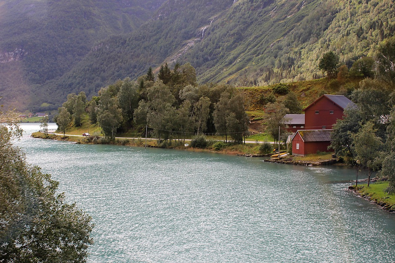
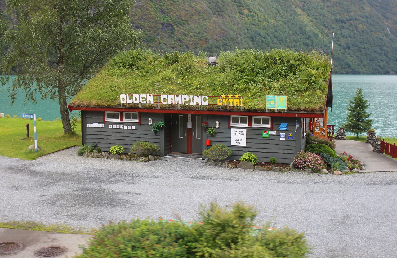
Here the lake narrows to a narrow channel named Mindre Sunde ("middle strait"), and on its western shore is visible tourist camp Oldevant Camping.
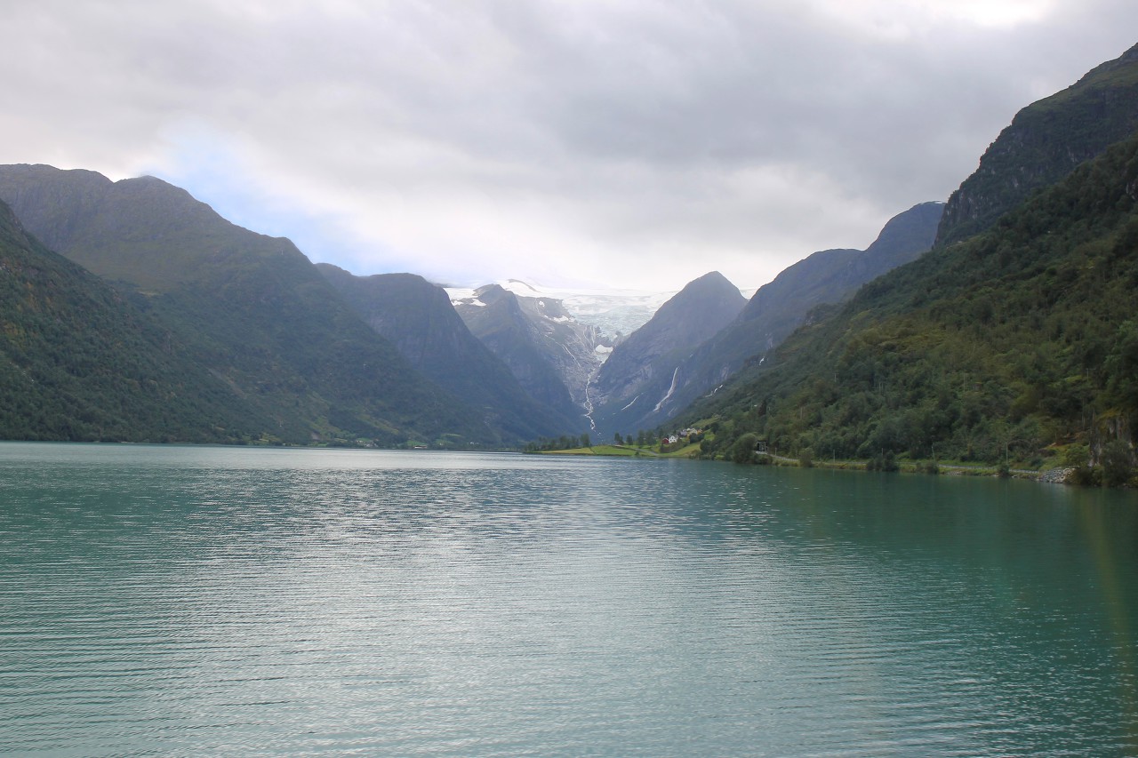
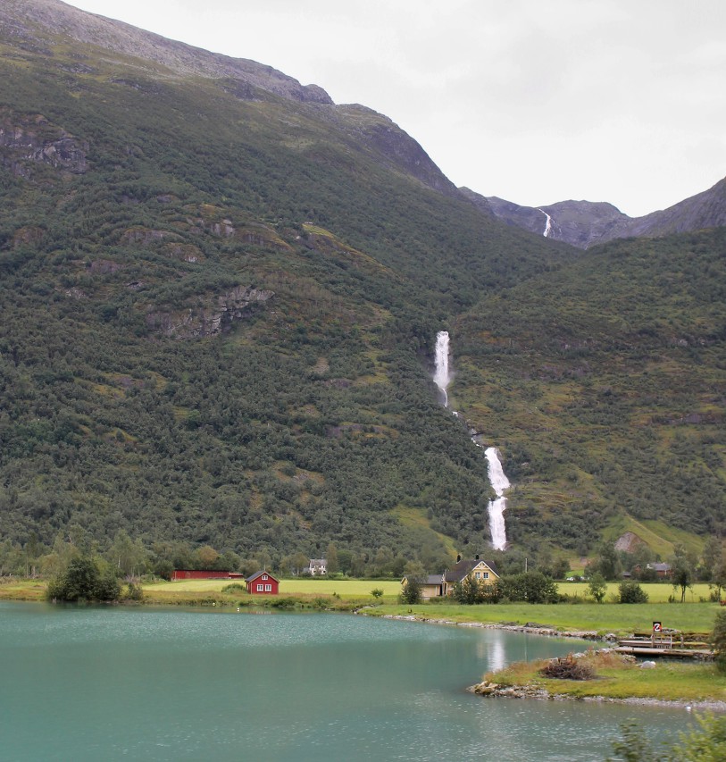
The tiny farming village of Sunde is located on the gently sloping coast to the south of the strait, and beyond it you can see the mountain valley leading to the glacier. On the forest-covered slopes, numerous waterfalls on rivers that originate in thousands of years of ice are bright white.
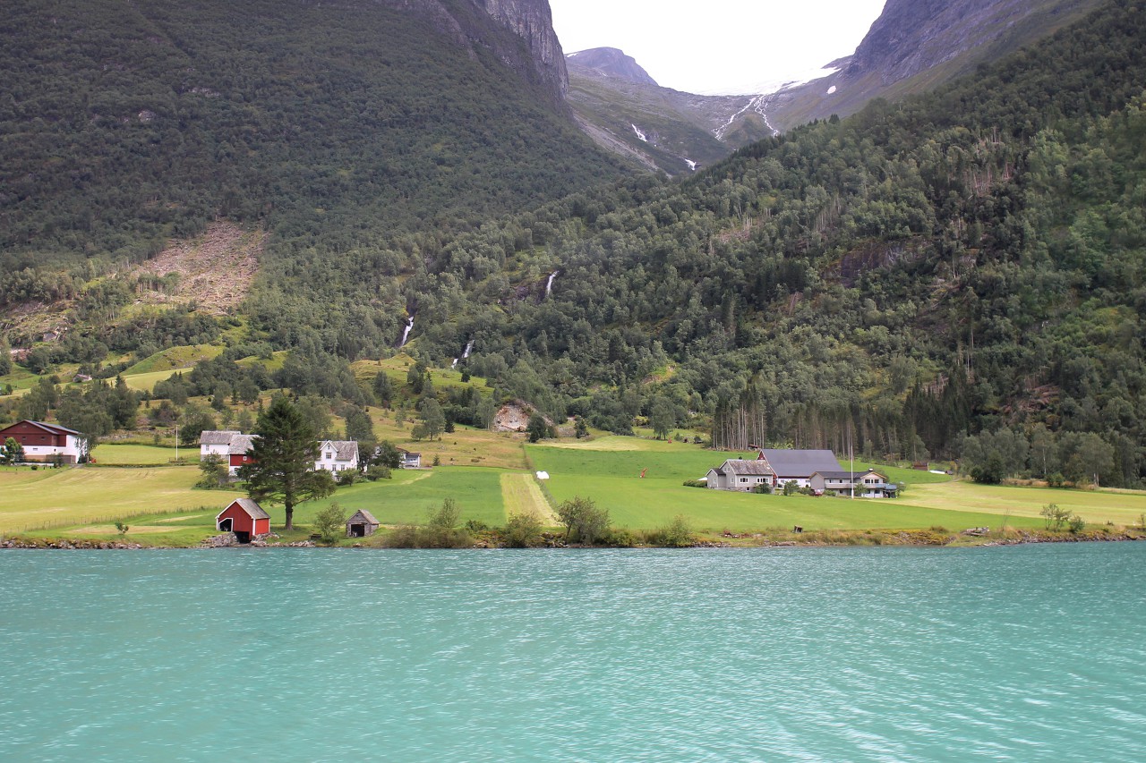
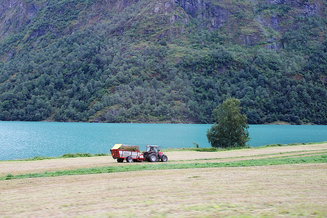
In places, the mountains recede from the water and form flat areas. Naturally, all of them are processed and well-groomed.
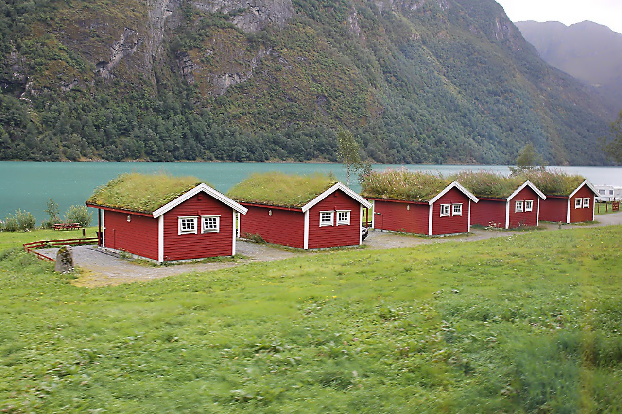
Another tourist base, the Gryta Camping, consisting of small red houses with turf covered roofs.
Glacial water has an amazing purity and transparency. The characteristic color of the water is given by the smallest particles of mountain rocks, which are wiped off the surface of the rocks by the mass of ice moving along them.
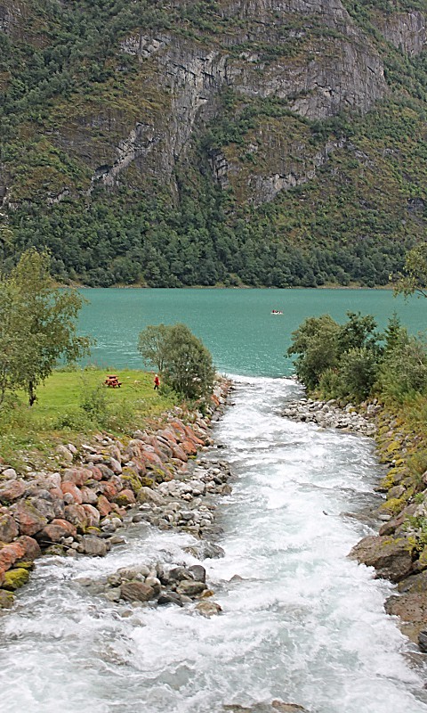
Another colorful place, the Olden Camping.
At one of the turns opened the southern part of the valley Oldedalen, at the end of which you can see the Justedalbreen, it is largest glacier in Europe, to one of the tongue of which we are heading.
We reached the northern end of the lake, which stretches for 11 kilometers.
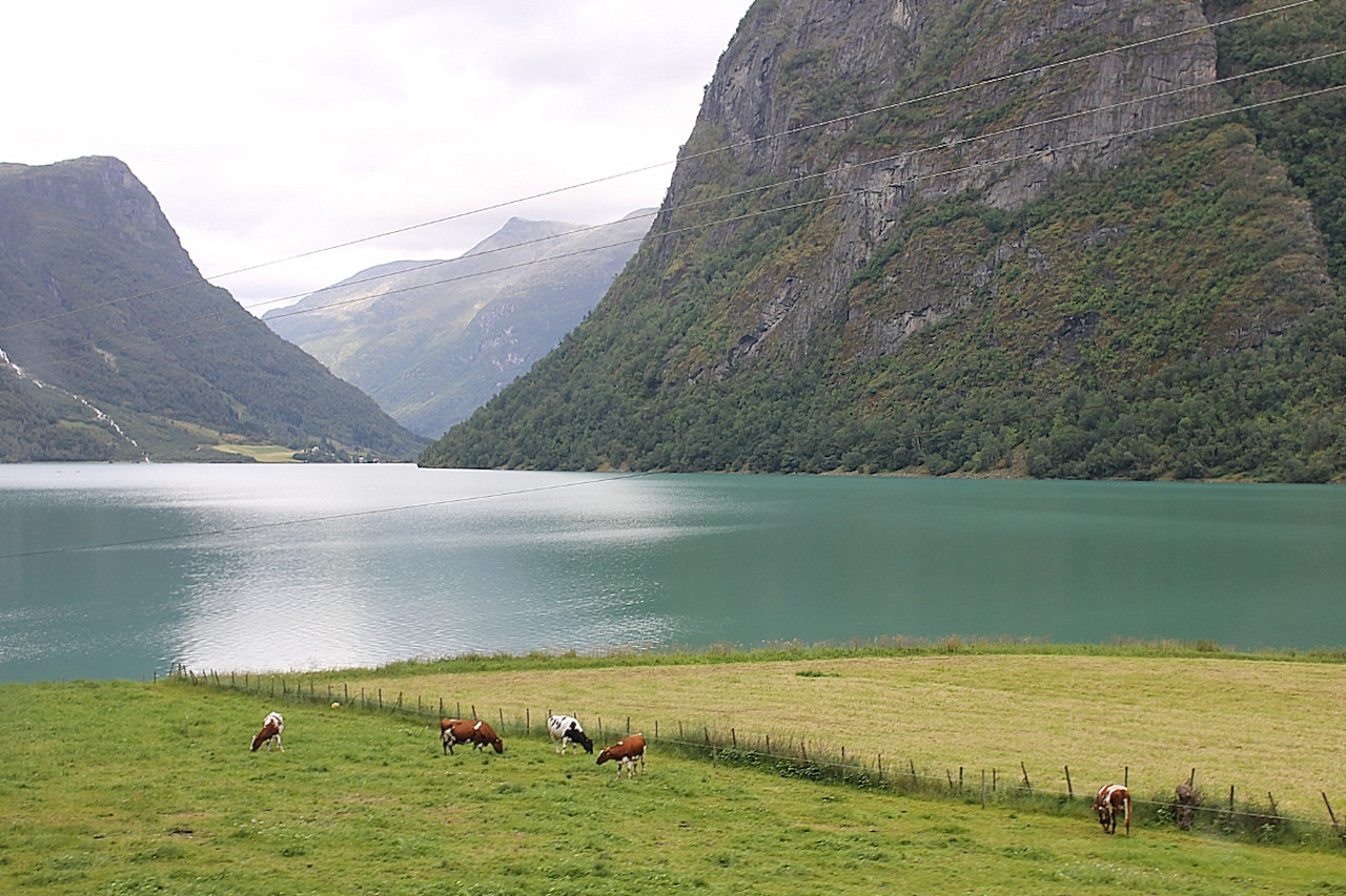
Here two rivers flow into the lake, the calm Dalelva, flowing through a flat plain (its mouth is visible on the right), and the Sulkja, falling from the mountain slope, representing a chain of waterfalls.
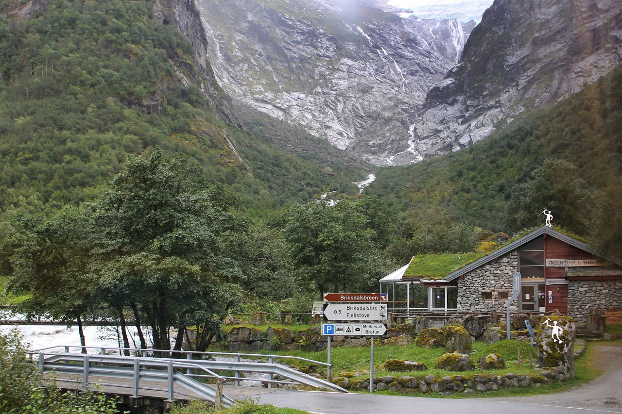
After driving three kilometers along the Delelva, we saw the mountaineering camping Melkevoll Bretun, and beyond it, at the end of the mountain valley, the blue ice of Brigsdalbreen.
