Eidsdalen Valley. Farms and Waterfalls
After leaving the Linge-Eidsdal ferry deck, we continue on the N63 regional road connecting Molde and Geiranger and climb the mountain again along the winding serpentine. Traffic on this section was opened in 1955, before that, Geiranger could only be reached by water.
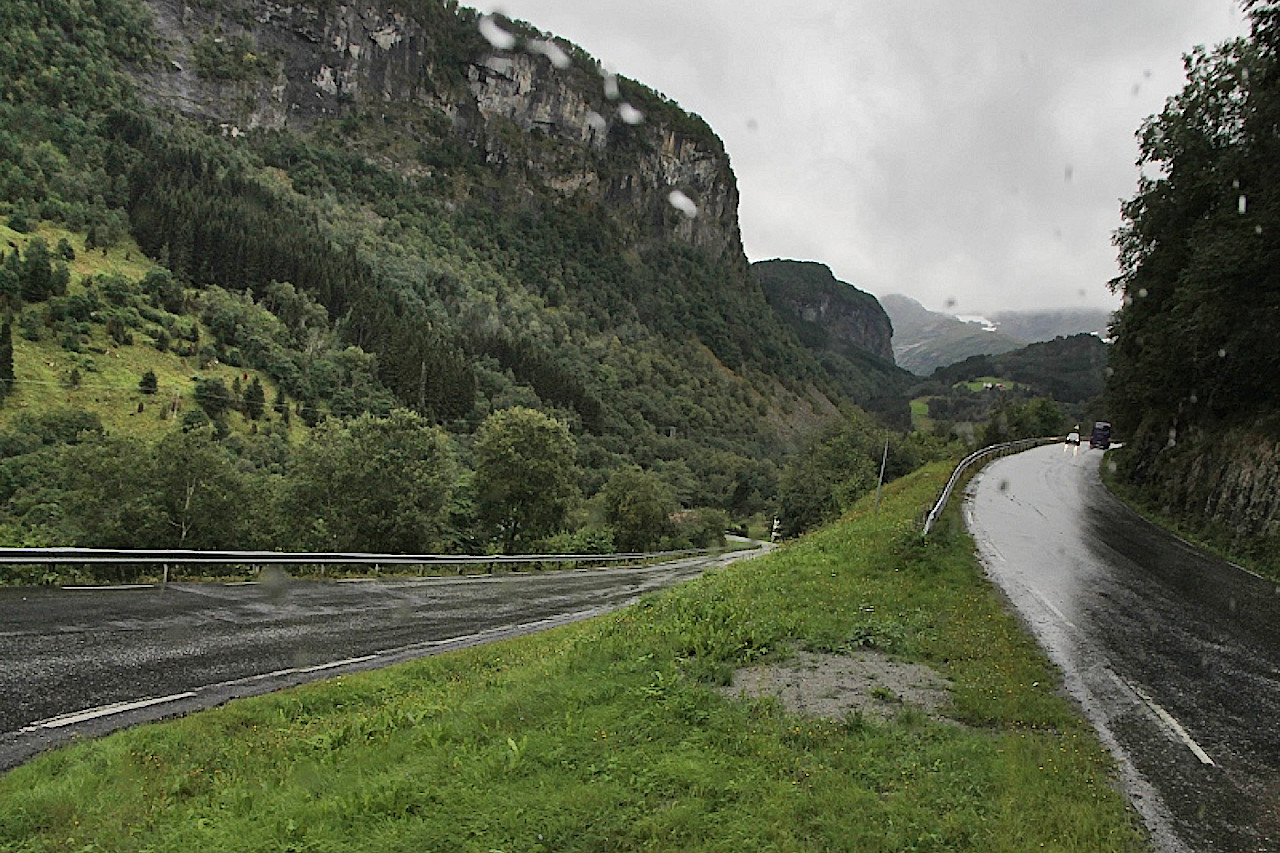
Geiranger is about 20 kilometers away, and most of the road goes over the Eidsdalen valley. The valley is located on the territory of a tiny commune of the same name, its population is only 400 people.
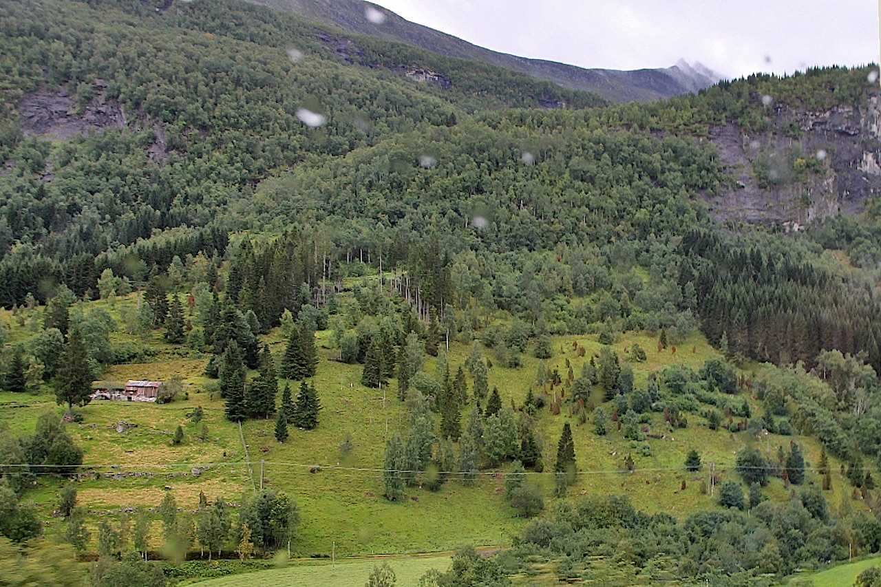
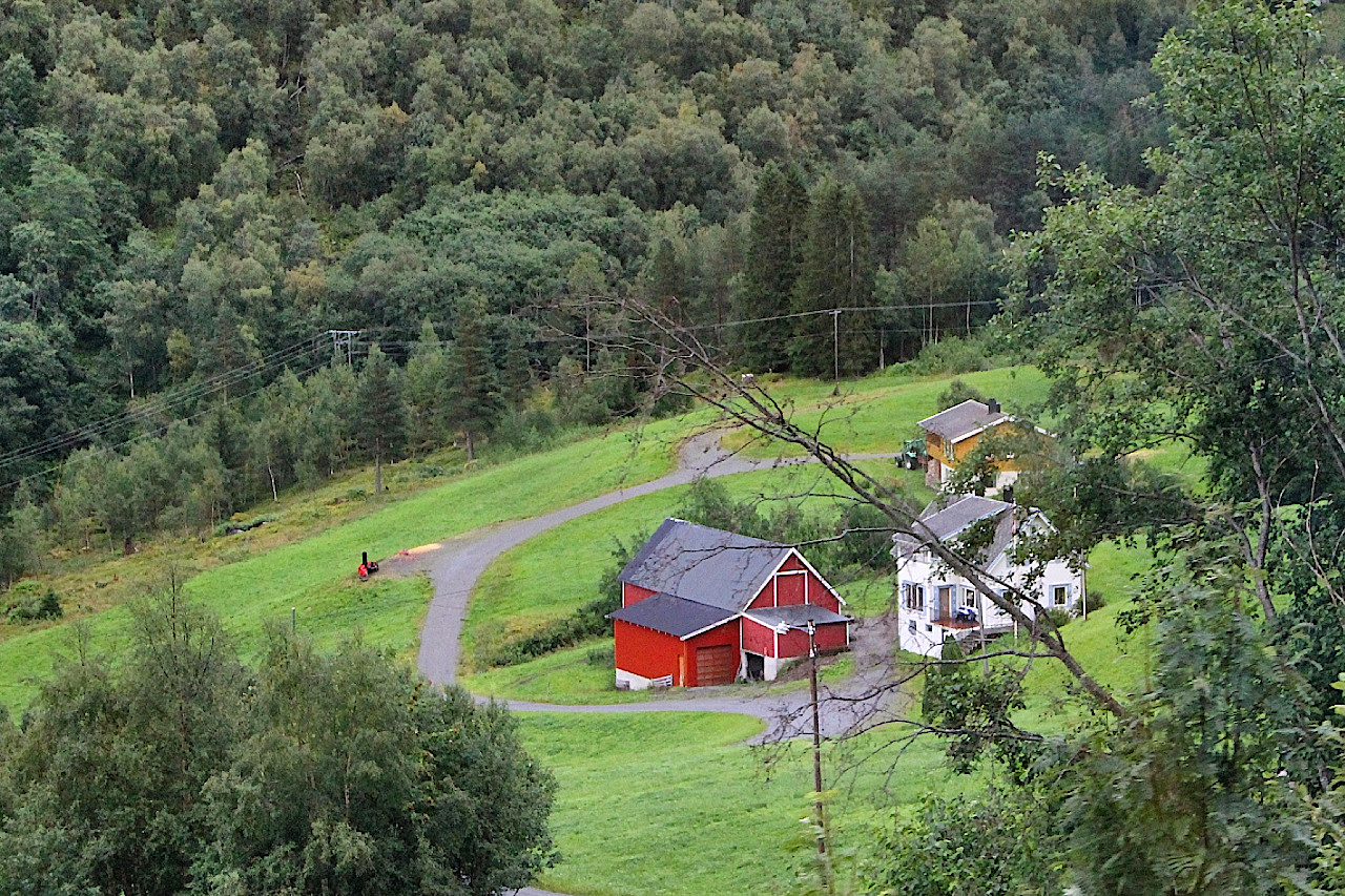
In addition to servicing the ferry crossing, the commune's residents are mainly engaged in agriculture - small livestock farms are scattered on the mountain slopes and all accessible areas of the mountain slopes are neatly groomed.
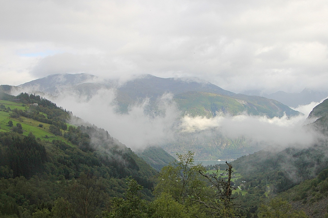
As we made our way up the valley, rain fell several times, and the mountainsides were partly obscured by clouds. At one of the turns, a stunning view of the valley opened up, at the end of which you can see the waters of Geirangerfjord, bright blue in the light of the unexpected sun that came out.
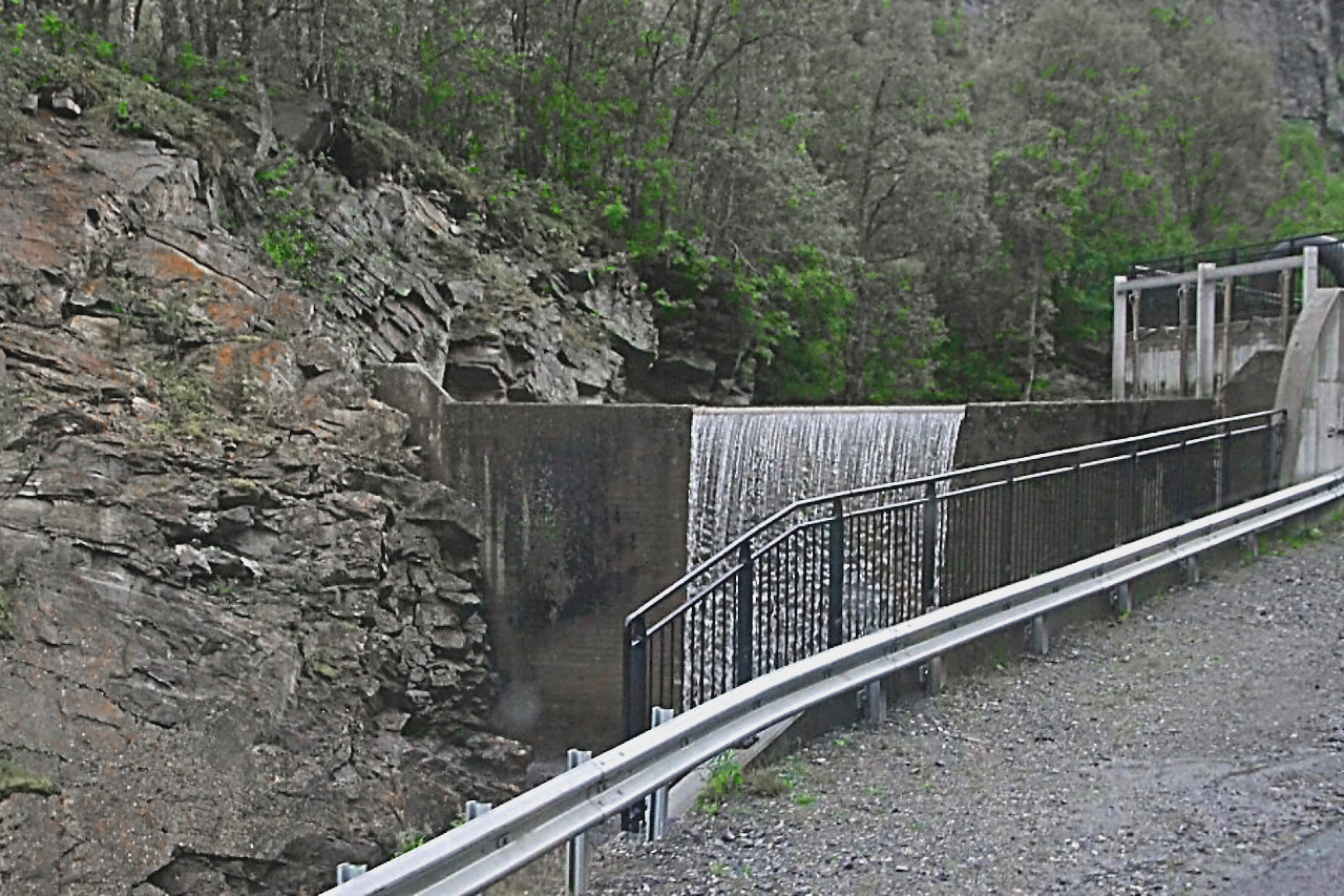
We passed a small artificial waterfall formed by the dam of a tiny hydroelectric power station on one of the countless rivers. Approximately in the middle of the Eidsdal-Geiranger section, the road runs along the shore of the picturesque lake Eidsvatnet (Eidsvatnet), but unfortunately, today it was hidden by a dense curtain of rain.
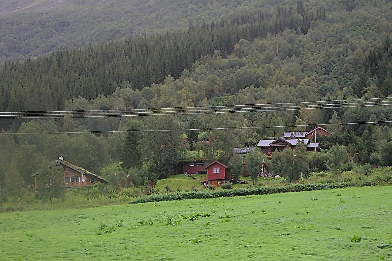
And then the mountains parted and farms appeared on gentle areas. Keeping cows in such a remote area during the time of industrial meat and dairy complexes is frankly unprofitable, but in Norway small farms are subsidized by the state, contributing to the preservation of traditions and environmental friendliness of products. It is said that there are also special payments to those farmers whose herds graze freely on the mountain slopes - for decorating the landscape. Indeed, all over Norway, cows and sheep walk absolutely everywhere without any supervision or fences.
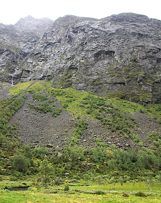
Gradually, we climb higher and higher, and green wooded slopes give way to bare rocks. Now my GPS shows 630 meters above sea level - we are at the top of the pass, and the height of the mountains surrounding the road exceeds one and a half thousand meters.
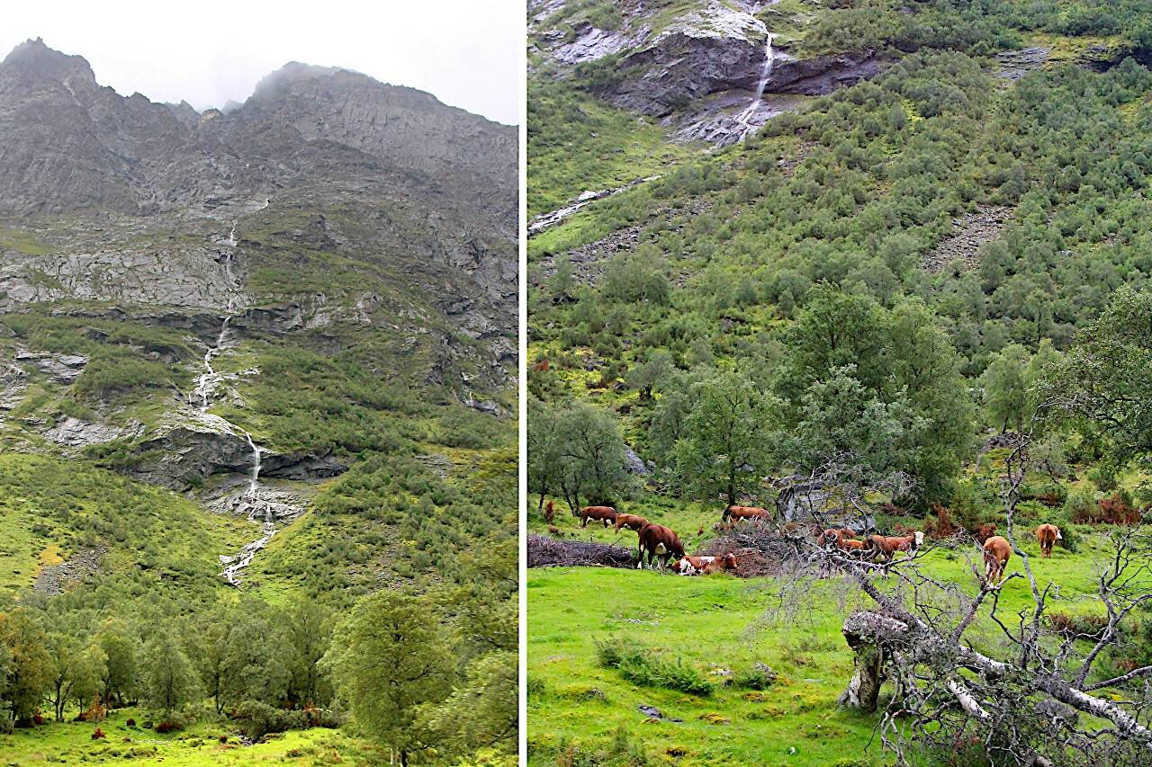
Water flows down even from the very peaks, it seems that every stone is oozing water. The local climate contributes to the condensation of moisture from the air, which is brought by winds from the North Atlantic. It is not surprising, but despite the saturated air, dampness and dankness are not felt here.
The road is approaching the most interesting part of this road - the observation deck, located at the top of a steep, winding descent known as the" Road of Eagles", read about it in the next article.