Møre og Romsdal Province Cities and Places of Interest
You might think that the name Mere og Romsdal comes from Romsdalfjord, located in the territory of the province, but this is not the case, it is based on the valley of the river Rauma, the ancient Norwegians called it Raumsdalr.
Halsa - Kanestraum Ferry
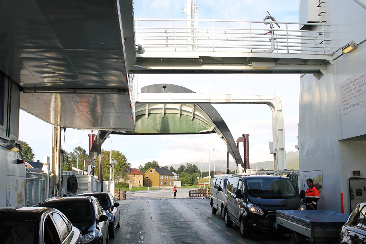
We continue to move West on the E39 highway. About an hour and a half after leaving Trondheim we saw the waters of the Halsafjord...read more 
Halsafjord Views from a Ferry Board
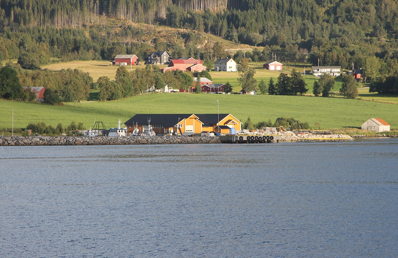
A few minutes after we stopped on the ferry deck at Halsa pier, the ferry started its journey. The Halsa-Kanestraum ferry takes only 20 minutes, so we will hurry to the upper deck to admire the beauty of Halsafjord...read more 
Gjemnes Bridge (Gjemnessundbrua)
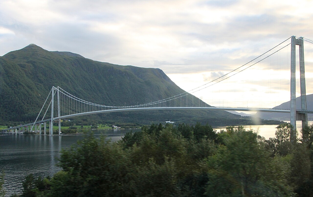
Through two dozen kilometers to the West from Kanestraum the E39 highway crosses the Gjemnes strait (Gjemnessund) one of the most elegant bridges of Norway...read more 
Batnfjord and Fannefjord
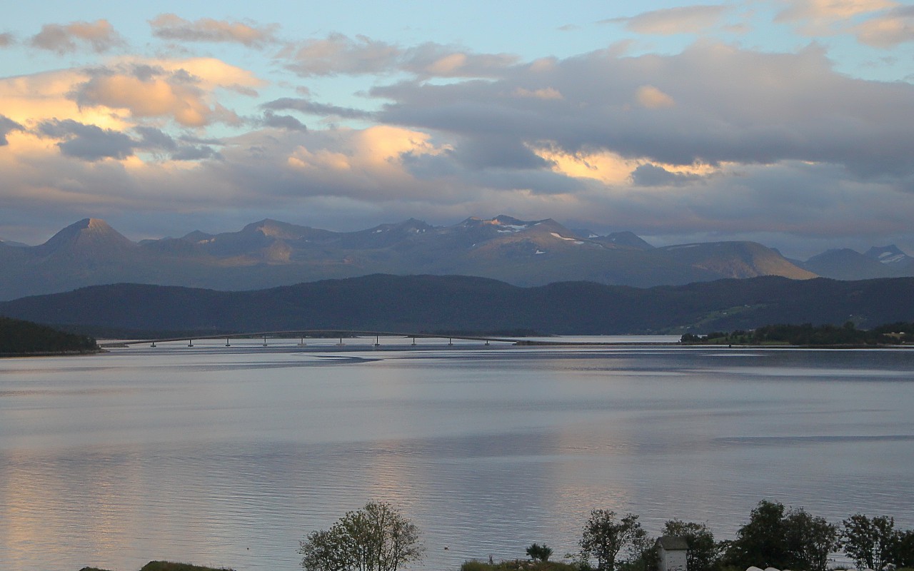
After the Gemnesund Bridge, the E39 highway heads southwest along the Batnfjord, a small 9km-long arm of the Tingvollfjord surrounded by gently wooded mountains...read more 
Molde
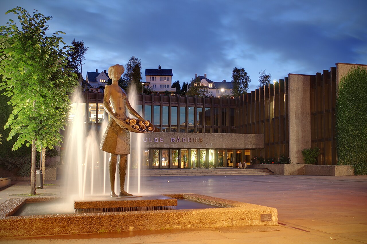
The capital of the Møre og Romsdal province originates from a fishing village that appeared in the 11th-12th century, in the 19th century Molde became a fashionable resort and received the unofficial name the North Nice...read more 
Molde - Vestnes Ferry
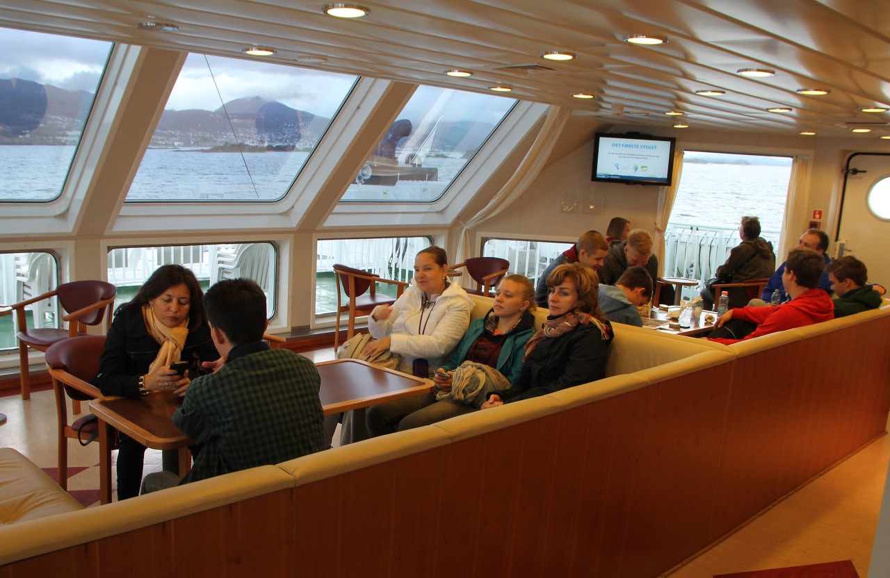
Ferry terminal in Molde is close to the centre, two hundred meters to the East of the square Moldetorget. Here are two quays: close to the city centre are moored ferries of Molde-Sekken line, from next pier Molde-Vestnes ferries departures...read more 
Gjemnes Bridge (Gjemnessundbrua)

Through two dozen kilometers to the West from Kanestraum the E39 highway crosses the Gjemnes strait (Gjemnessund) one of the most elegant bridges of Norway...read more 
Eidsdal - Linge Ferry
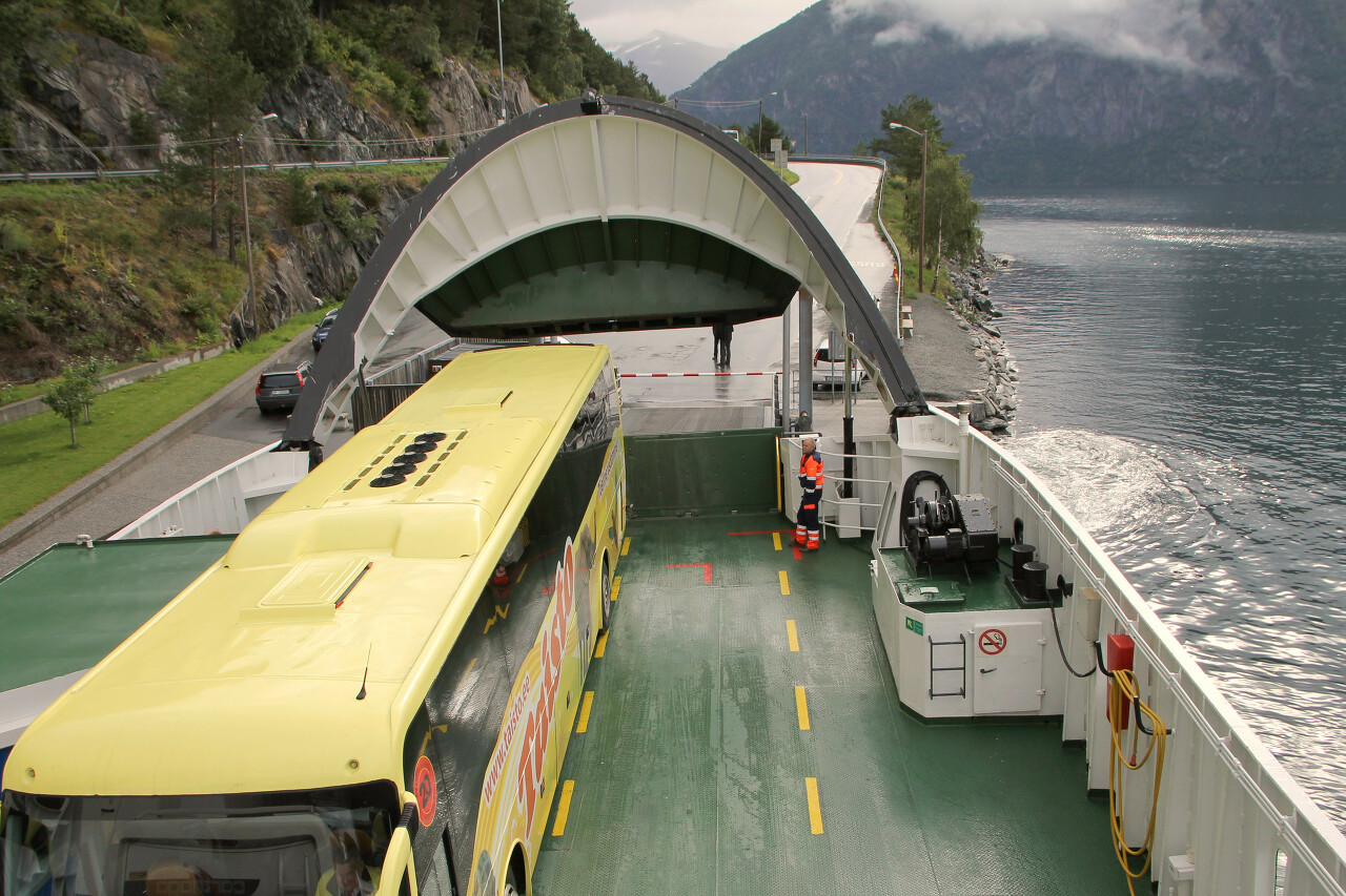
From Vestnes to Linge a little more than 60 kilometers on regional roads so the journey takes more than an hour. The route passes through the picturesque area, but the weather today did not contribute to photography...read more 
Norddalsfjorden from the Ferry Board
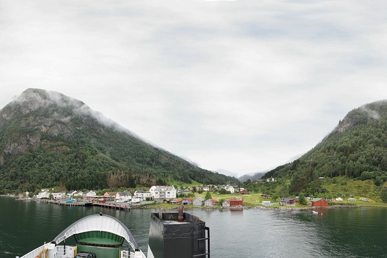
Norddalsfjorden, one of the branches of the Storfjord, is 16 kilometers long. At the widest point, the distance between the banks is no more than 3 km. The shores of the fjord are surrounded by peaks up to one and a half thousand meters high...read more 
Geirangerfjord
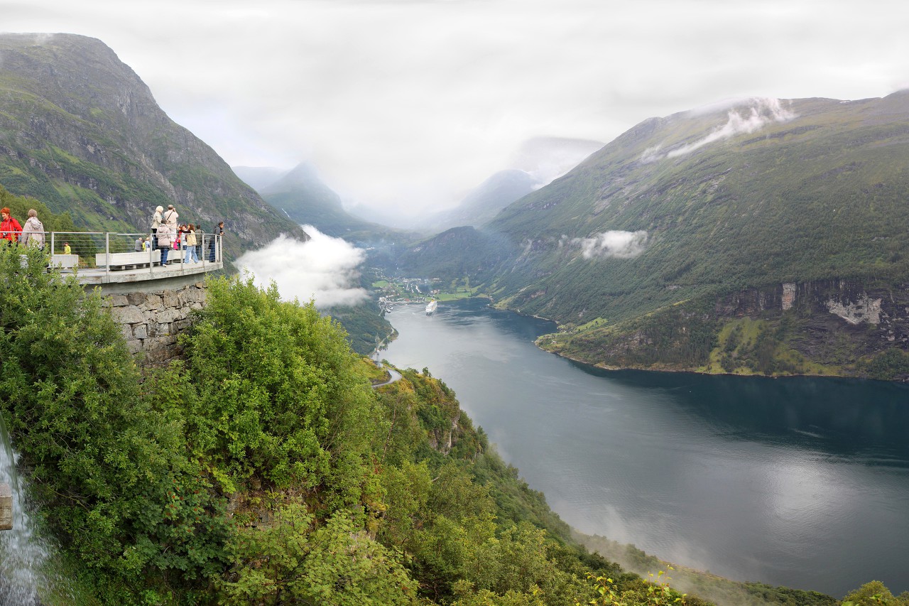
Beyond the Eidsdal pass, you can immediately see the stunning panorama of the Geiranger fjord. This 15 kilometer long branch of the Storfjord is exceptionally beautiful and was included in the UNESCO heritage list in 2005...read more 
Farms on Langedalen Valley
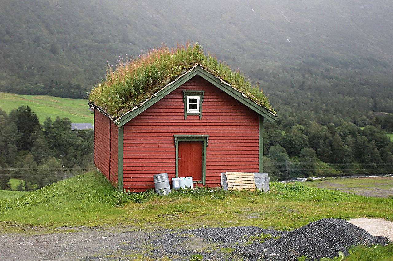
This part of the highway stretches in the valley of the river Langedalselva, and therefore is called Langedalen. From the road the river is almost invisible, the landscape is diversified only by lonely farms among green fields...read more 