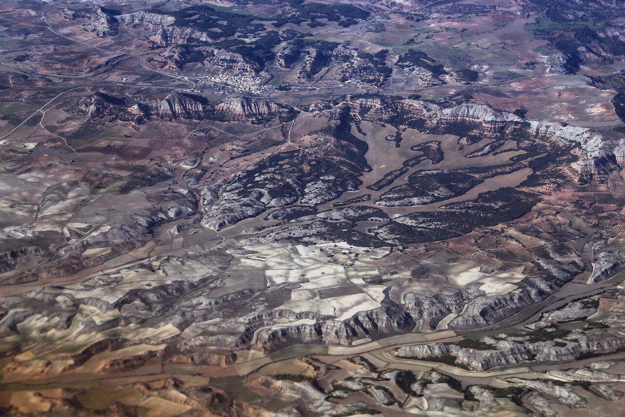
Flight Istanbul-Madrid. Over Valencia and Cuenca
After a 15-minute flight from Majorca, the coast of the Iberian Peninsula appeared, and then-the Orange coast, the neighborhood of Valencia.

The port of Saguntum is located 25 kilometers northeast of Valencia. Five kilometers from the coast is the giant fortress of Sagunto, founded by the ancient Iberians. The fortress protected a trade route that allowed goods to be transported inland by sea from Greece and Phoenicia. The walls of the fortress extend in an arc along the old town of Sagunto, which is white in the left part of the photo.

The lowlands between Sagunto and Valencia formed by the alluvium of the Guadalviar river have extremely fertile soils and are a patchwork of fields and gardens with motes of houses and farms.

The town of Betera in the center of the lowlands is famous for the mildest microclimate in the region.


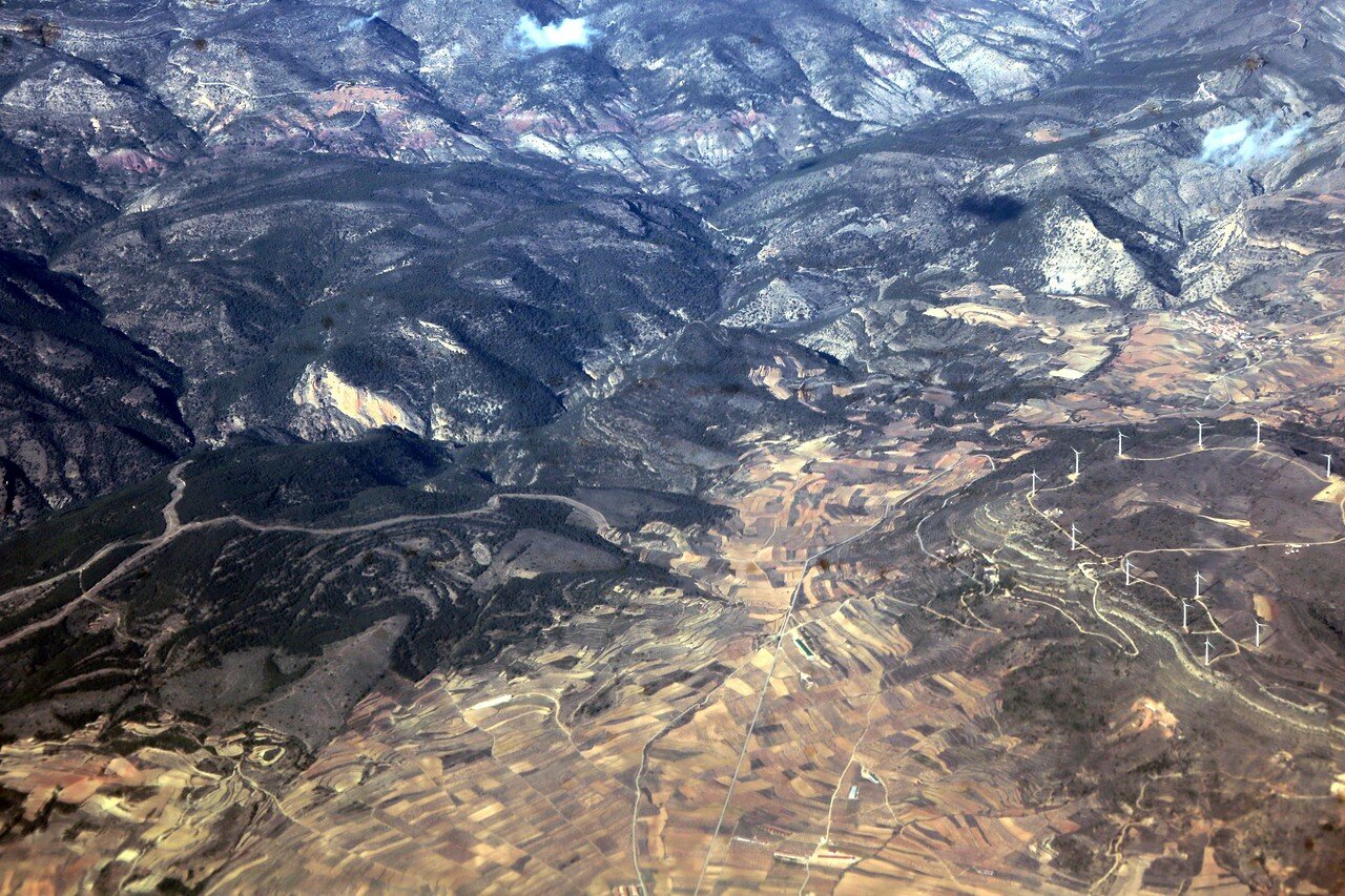

Rows of wind turbines are visible here and there on the mountain plateaus.
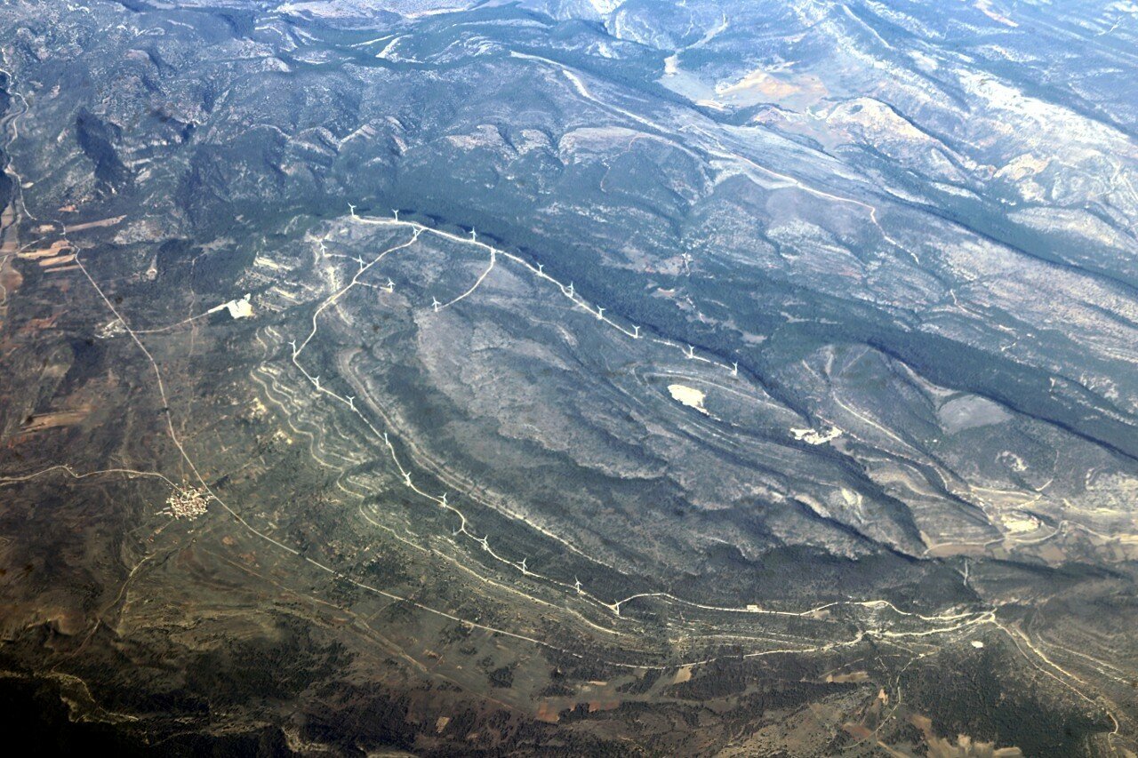



Reservoir Of Contreras.


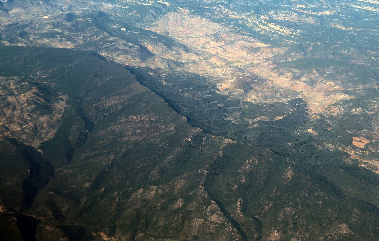
The mountain range of Cuenca.

Rock Balances.


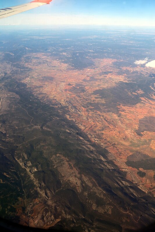
Gradually, the air becomes more transparent.

And accordingly, the landscapes under the wing acquire clear outlines.

It affects the distance from the sea - the humid sea air, saturated with salt, strongly distorts the image.

And now we are flying over one of the driest regions of Europe.
