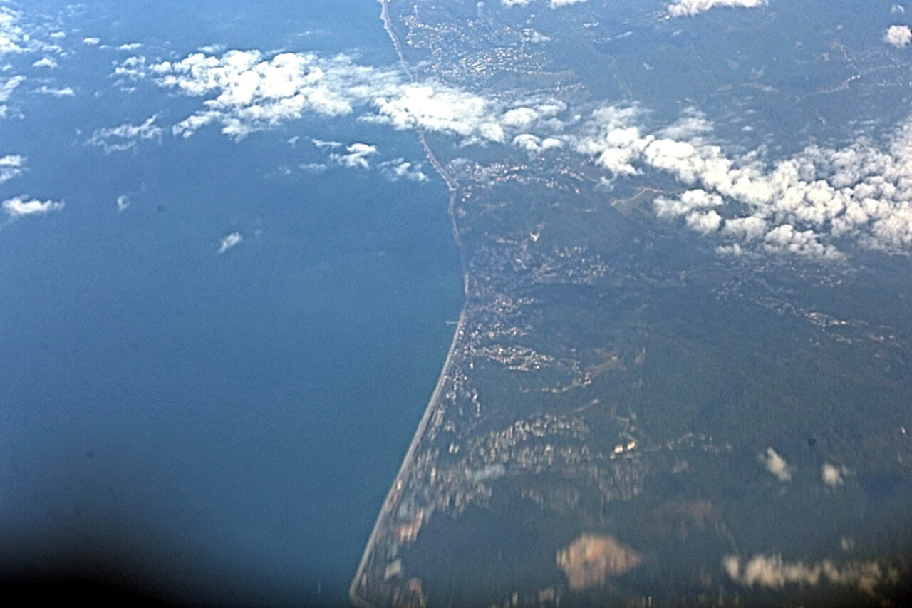
Over the Lower Volga and Kuban
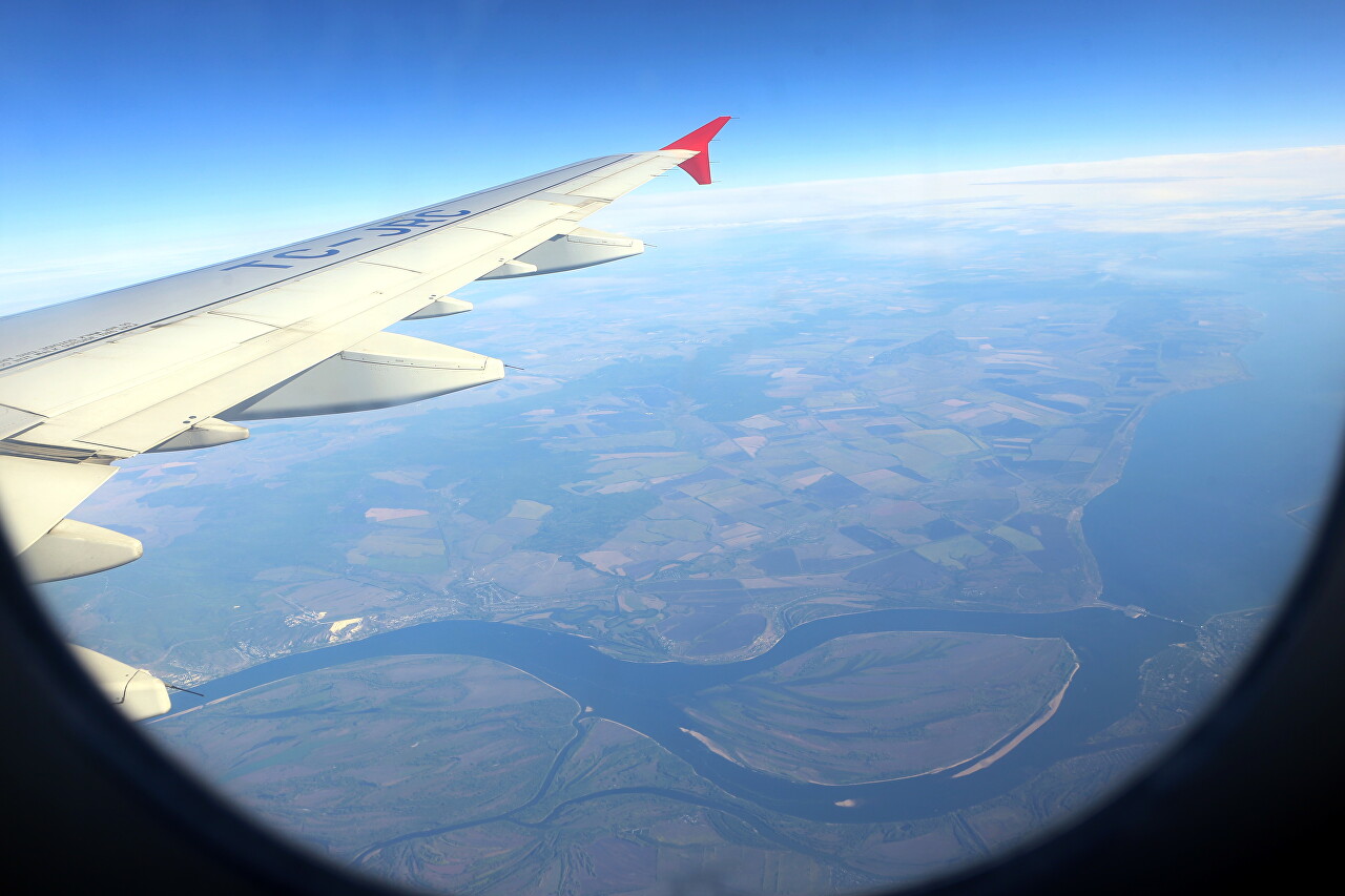
When I checked in for the morning Turkish Airlines flight at Koltsovo airport, as usual, I asked for a window seat close to the tail - there the wing does not block the ground. From the bow, the view is certainly not worse, but there is a business class cabin. After climbing, our plane was above dense clouds, and I was deep in reading a travel guide, planning an evening in Lisbon. After about an hour, I looked out the window and realized that I was missing something interesting. Under the wing was the Volga, or rather, the island of Desolate just below Balakovo. On right from the dam of the Saratov hydroelectric complex with the hydroelectric power station of the same name is also clearly visible.
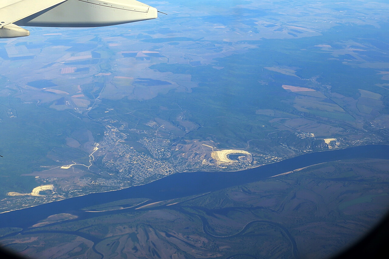
Further down, on the right bank, you can see the town of Volsk , the oldest center of the cement industry. The city is surrounded by quarries where limestone is extracted - the raw material for cement plants.
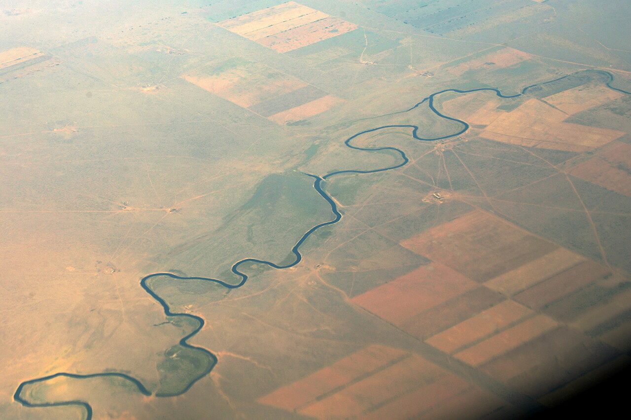
A winding tributary of the Volga, according to the map, the Tereshka River.
There are neat rectangles of margins at the bottom.
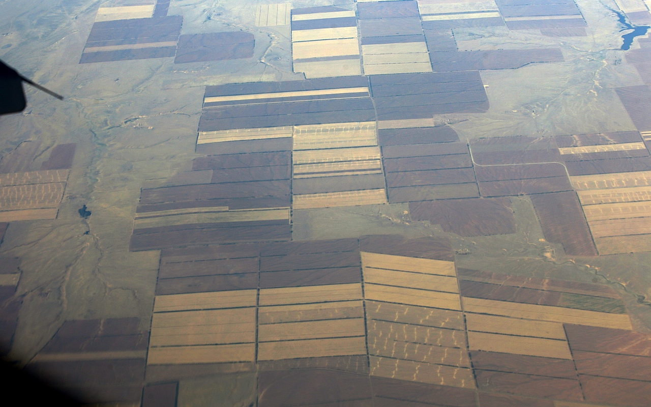
The Volga is higher than Saratov.
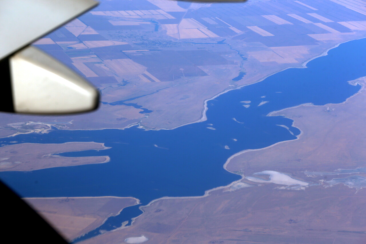
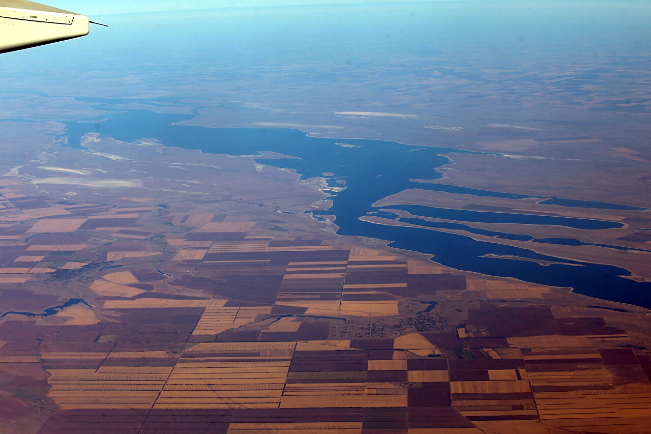
Tsimlyanskoe reservoir.
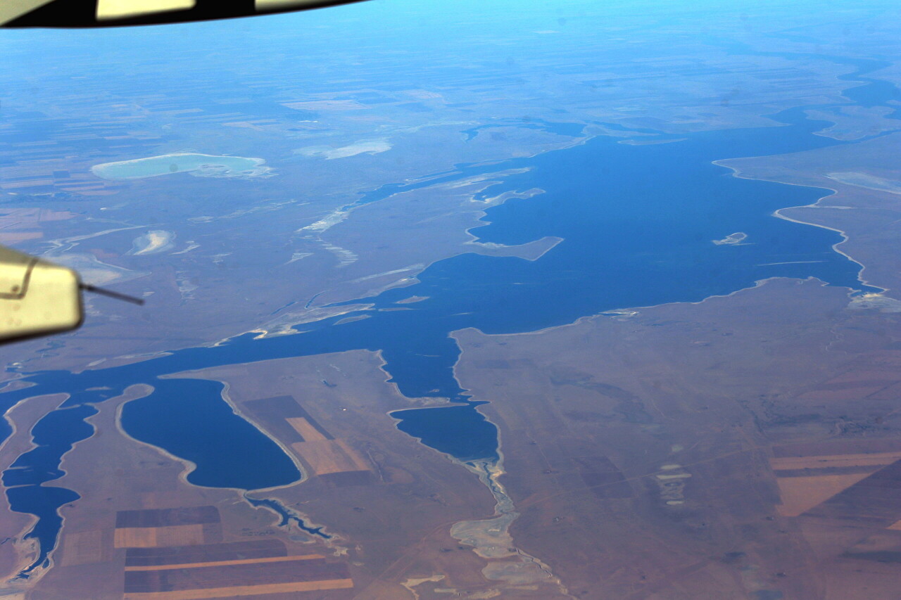
And this, as I think, is the Manych River basin, full of dams and branches.
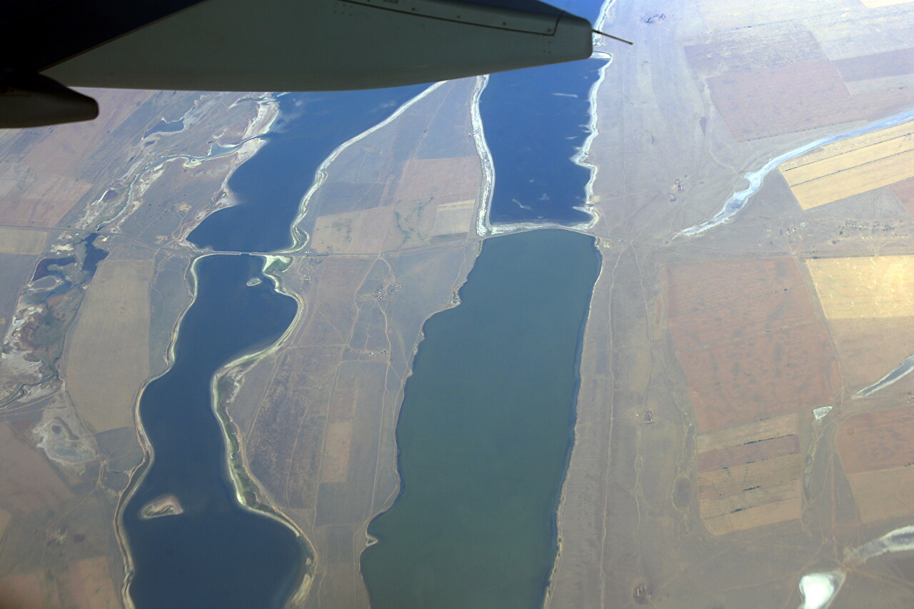
In flight, I'm guided by the OpenStreetMaps map in the tablet, GPS from the starboard side (north) does not work, so I can't guarantee the accuracy, but it looks like the Proletarian Reservoir on Manych.
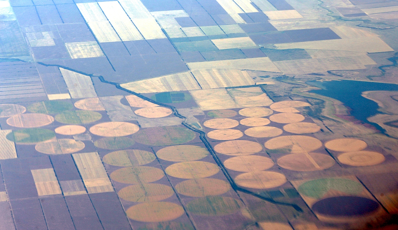
Stavropol region. Circular fields - a method of irrigation, invented in the 40s of the last century by the American farmer Erich Siebach. The pipe with sprinklers is mounted on wheels and moves like an hour hand around the well.
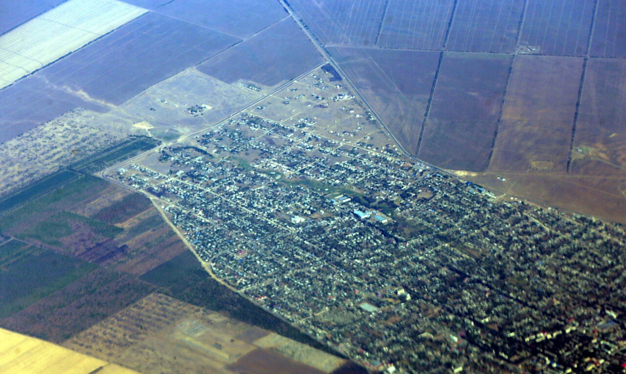
Some big village, it is clear that the building is low-rise.
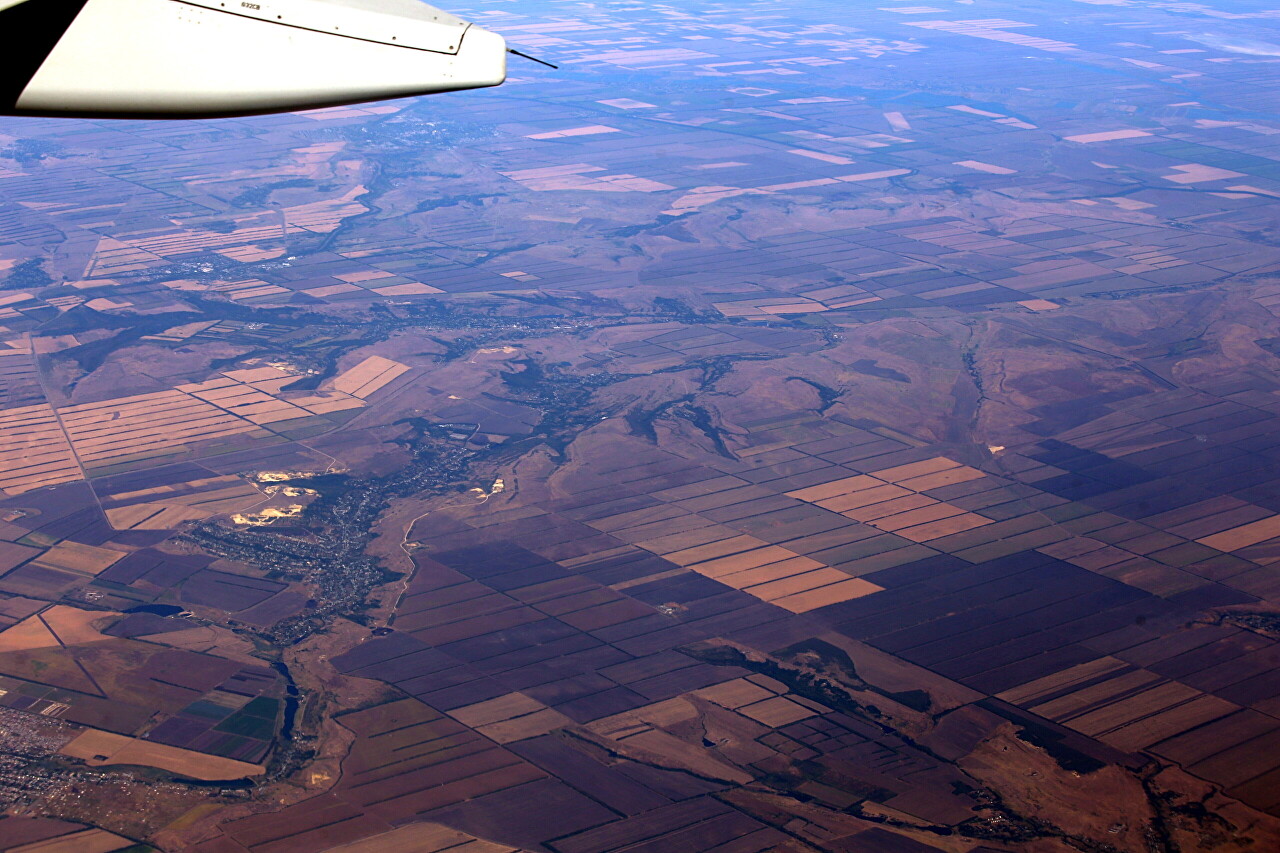
Once again, endless farmland.
I couldn't tell what kind of city it was...although high-rise buildings are clearly visible. Krasnodar should be here somewhere, but the water surface at the top is confusing.
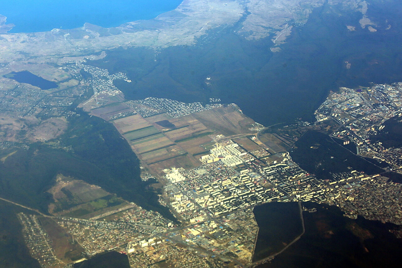
The Krasnodar Region, thanks to its climate and soils, is a fertile place for farming. Here, the fields take up all the available space.
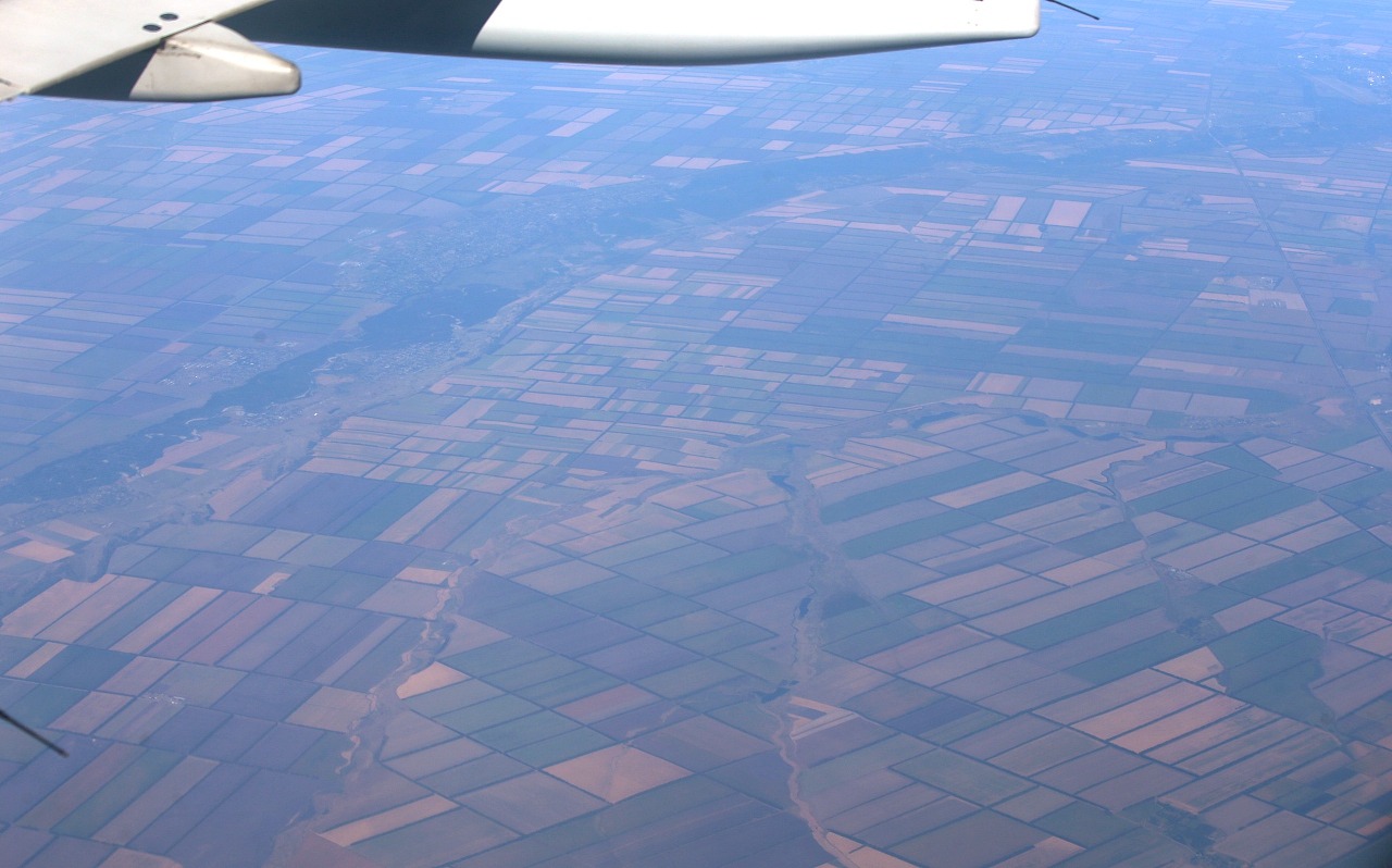
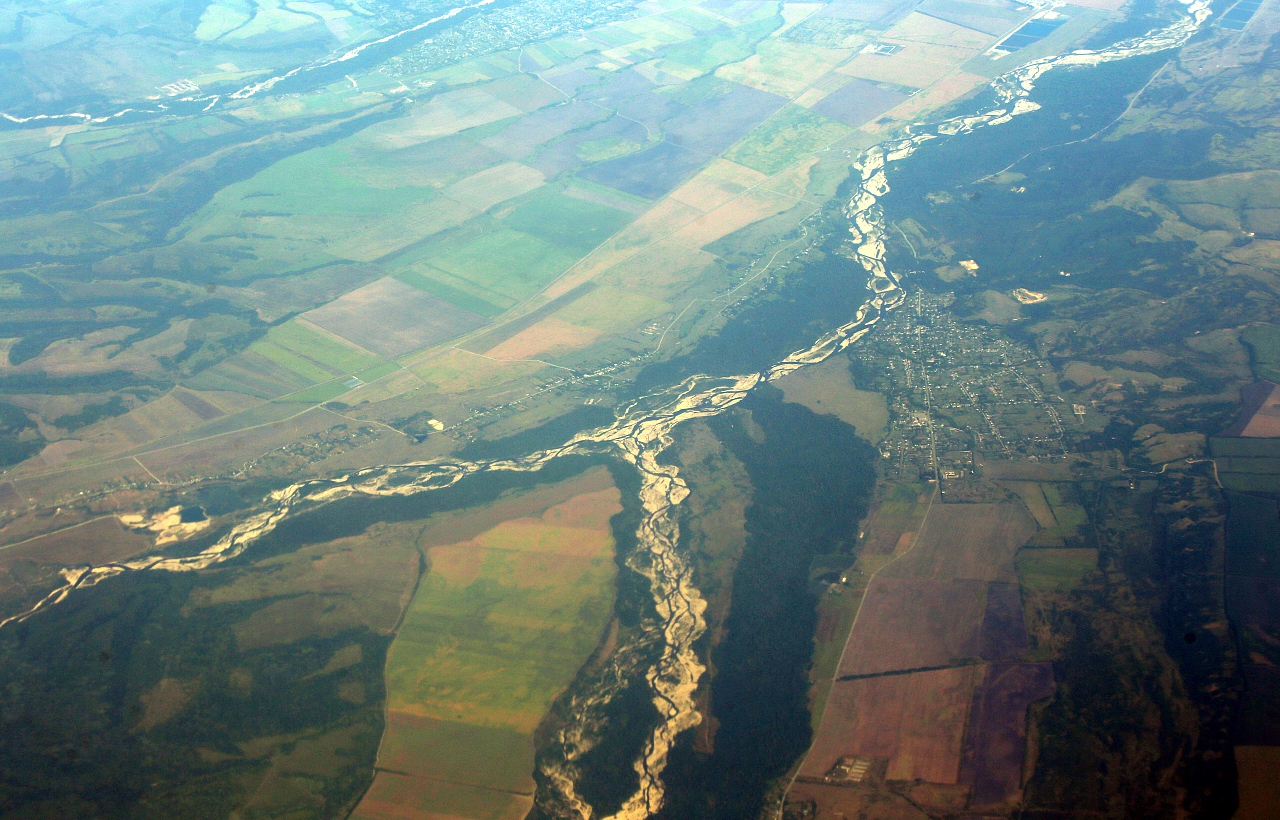
A small river with wide sandbanks.
Below is the Main Caucasian Ridge.
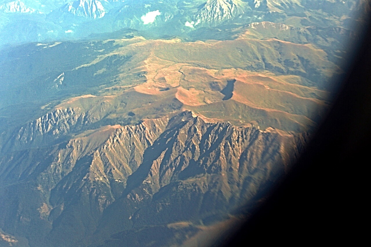
This part of the ridge, stretching from Anapa to Sochi, is called the "Black Sea Caucasus".
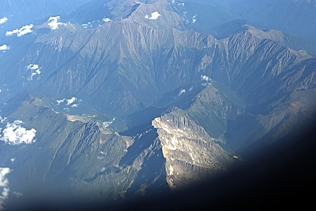
The range begins with low hills south of Anapa,
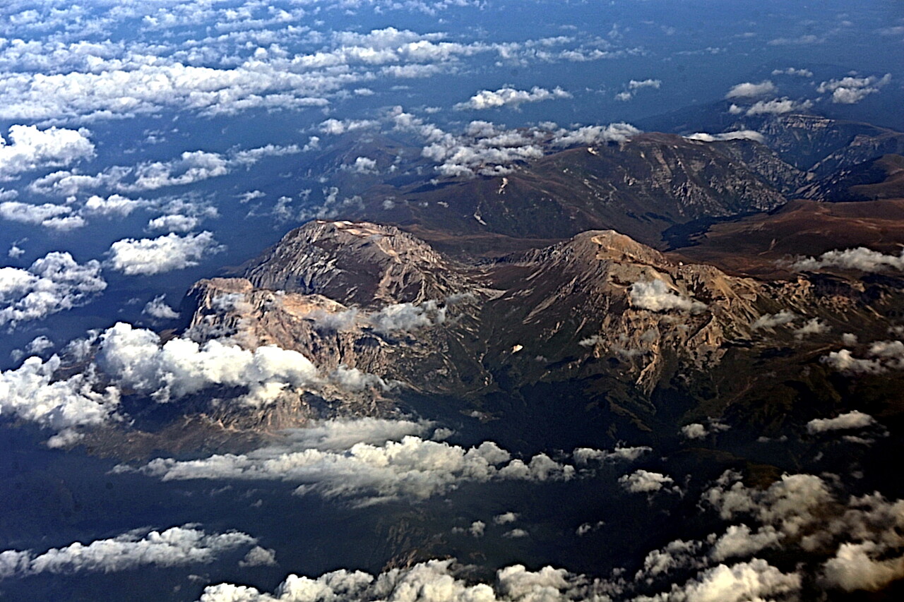
Then the ridge stretches along the Black Sea coast to the southeast, gradually rising.
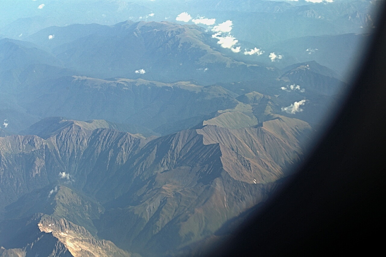
In the Tuapse region, the mountains are already 1000 meters high.
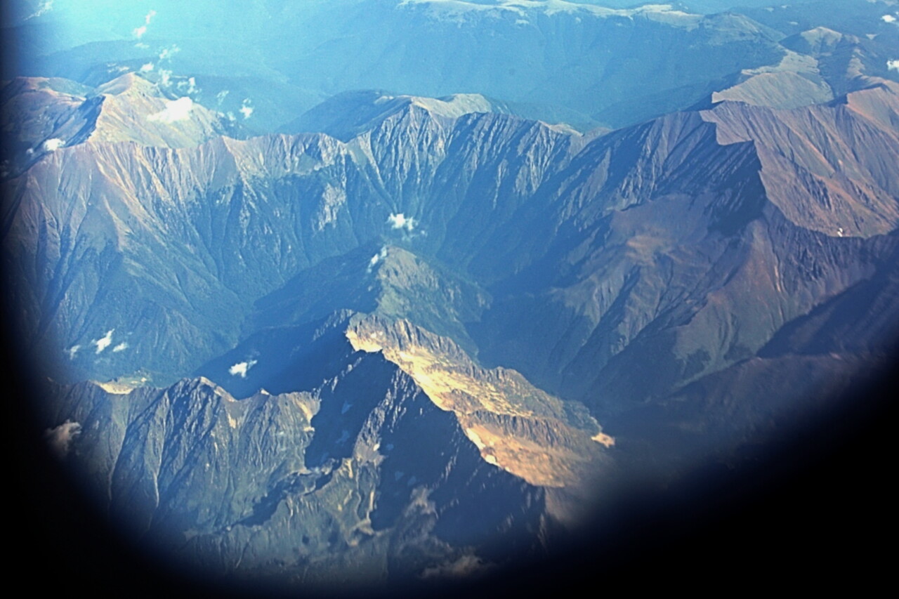
A little north of Tuapse, the plane crosses the coastline. Then the air route passes over the waters of the Black Sea and comes ashore in Turkey.
