Climbing Nigardsbreen Glacier
After half an hour of simple trekking along the shore of lake Nigardsbevatnet and climbing a gentle slope, we reached the lower border of the glacier, located a hundred meters above the lake level. Nigaardsbreen is one of the tongue of Europe's largest glacier, Jostedalsbreen. it slides from a height of 1200 meters, its length is about 30 kilometers, and its area is 487 square kilometers. The thickness of the ice cover in some places reaches 600 meters.
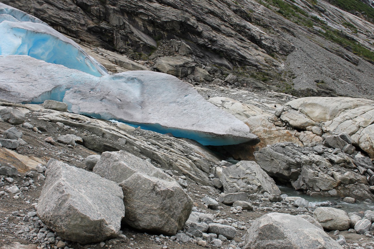
This ice tongue is one of the most low-lying and sloping, because it is very popular with tourists, as it is available to absolutely everyone and does not require special training.
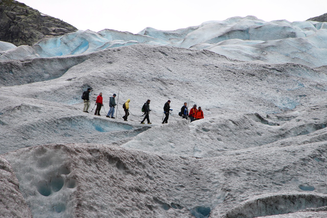
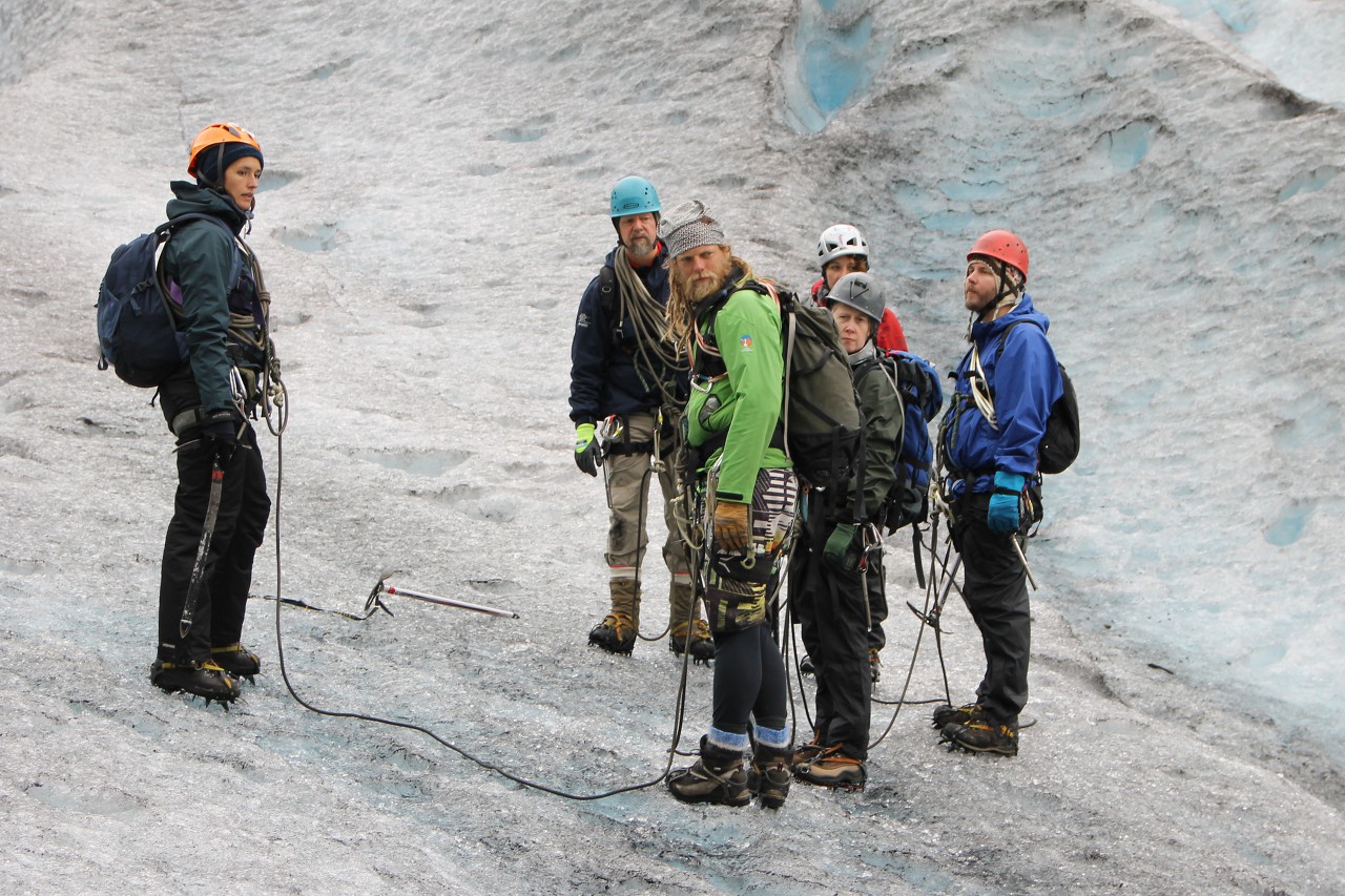
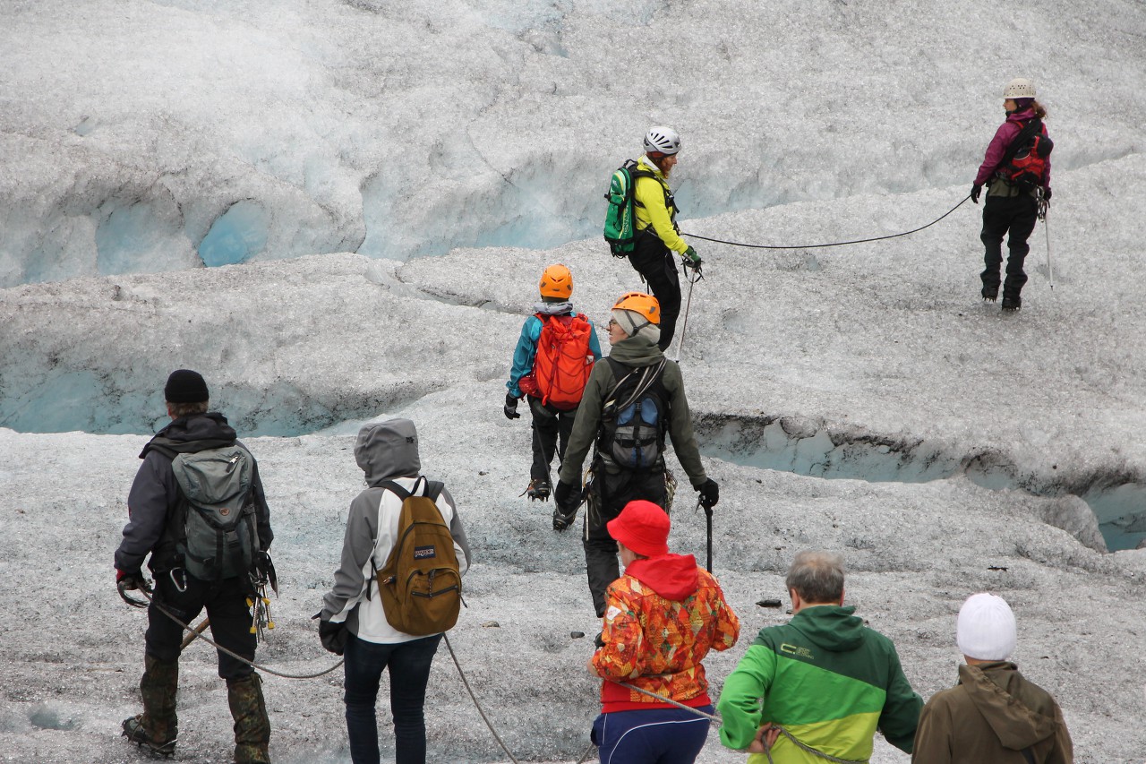
Of course, for walking on ice requires special equipment that the organizers of the city issued prior to the entrance of the glacier. For difficult routes, tourists receive a full set of climbing equipment - ice axes, ropes, protective helmets.
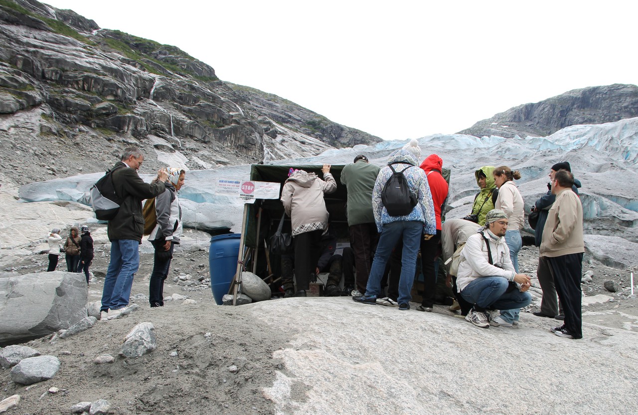
In our case, it was only ice gripper spike shoes, which we received in a small tent. Those who do not have suitable shoes can wear mountain boots here, but in our group there were no such shoes, no one thought of going to the glacier in beach Slippers or something like that. Lacing ice shoes is a responsible business and the instructors do it themselves, because the preparation of our group took some time.
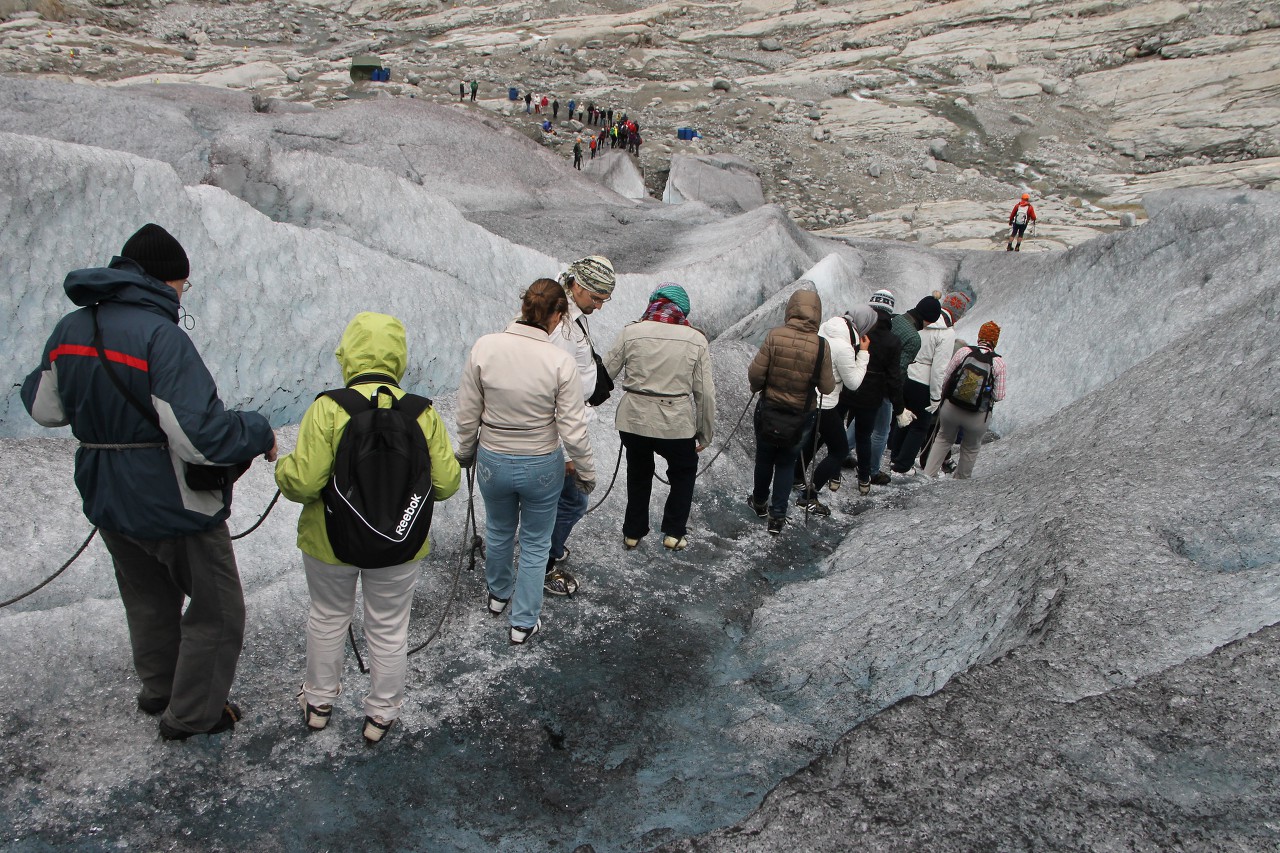
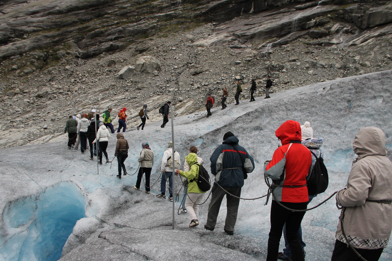
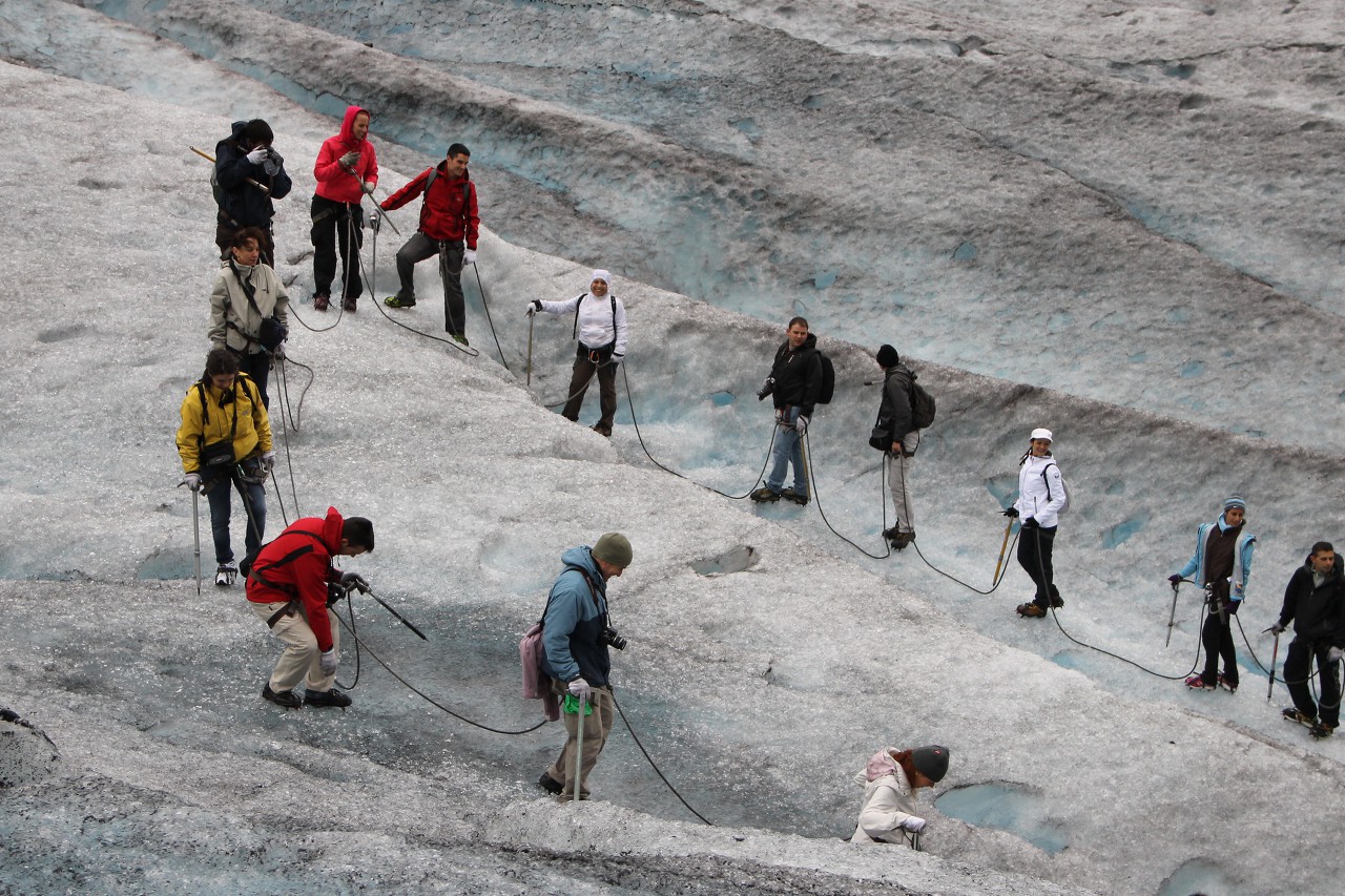
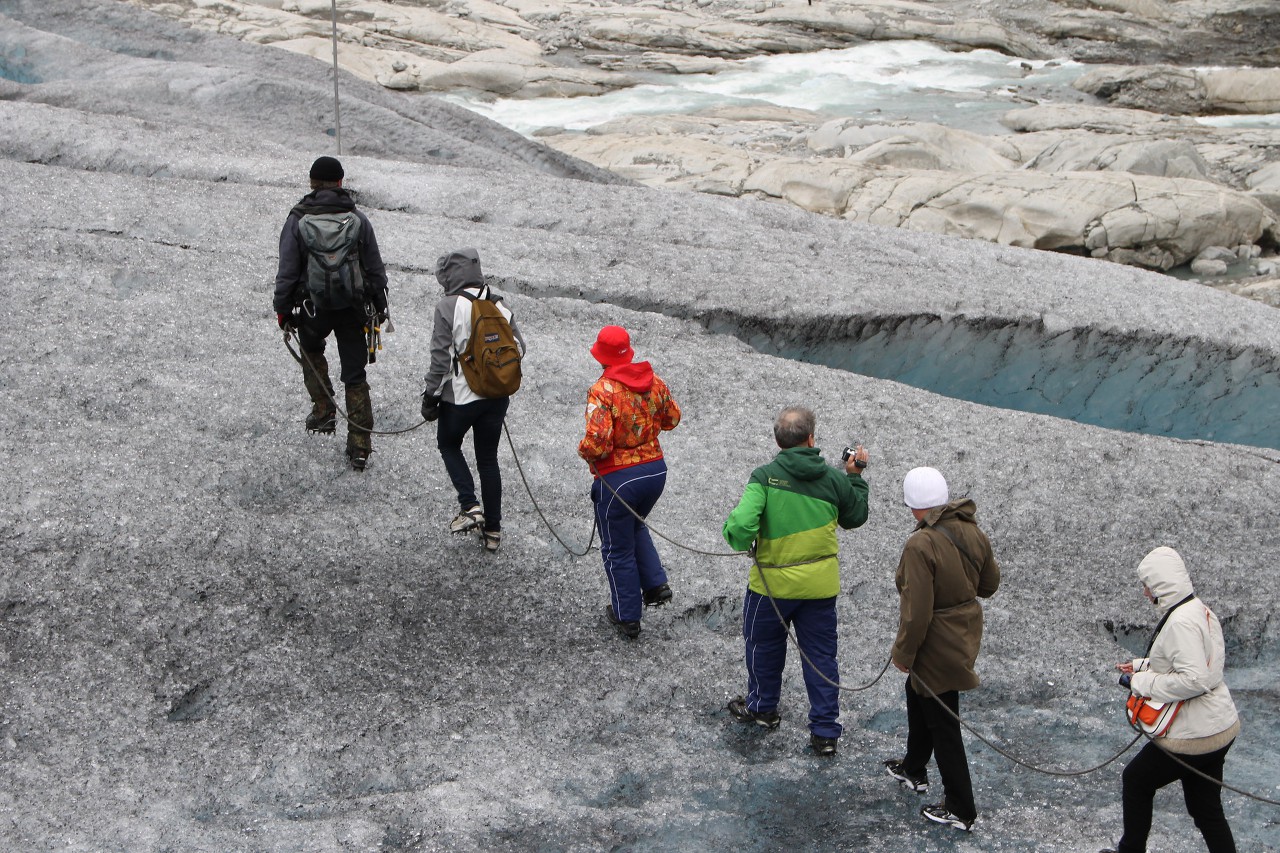
Then all of us are tied with one rope - a mandatory attribute of mountain climbing safety.
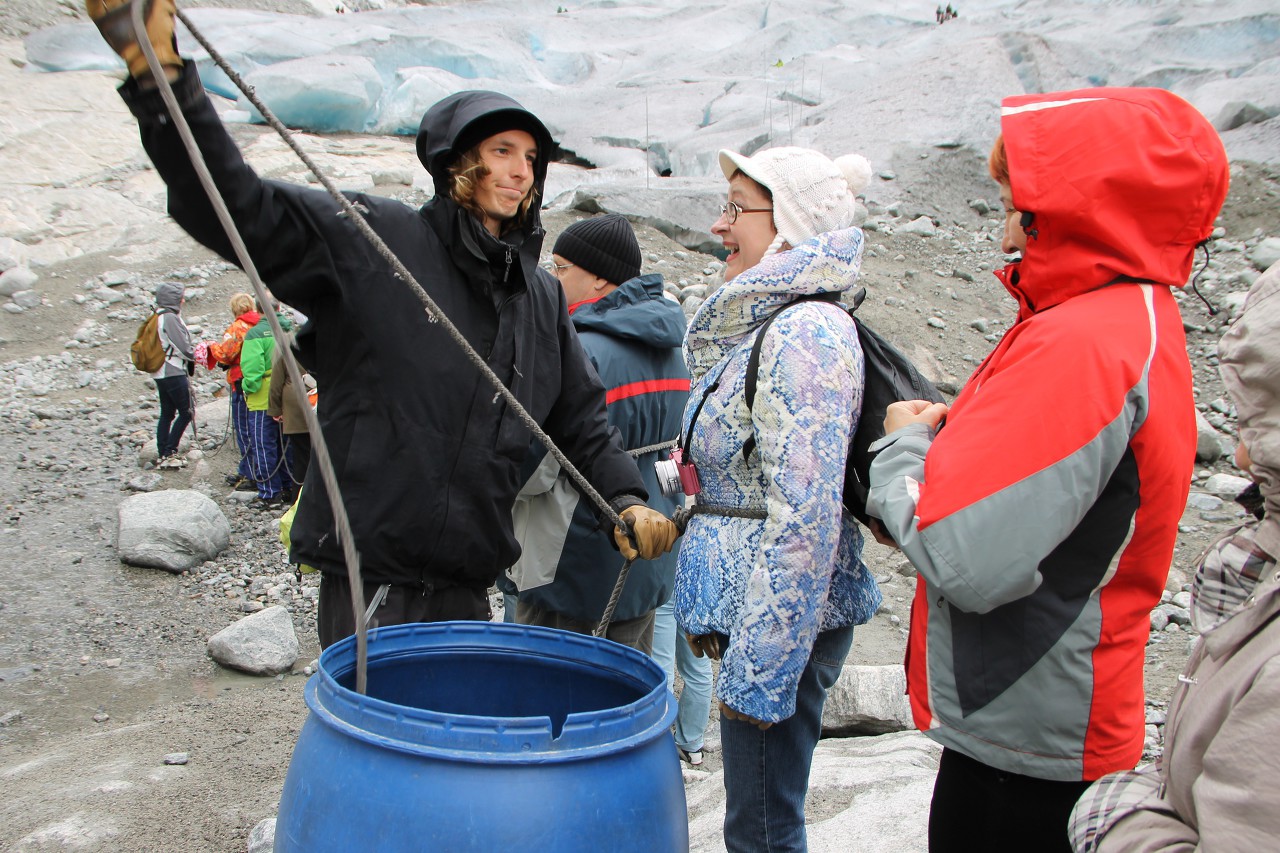
It turned out that in ice shoes it is very convenient to walk on sand and stones as well.
.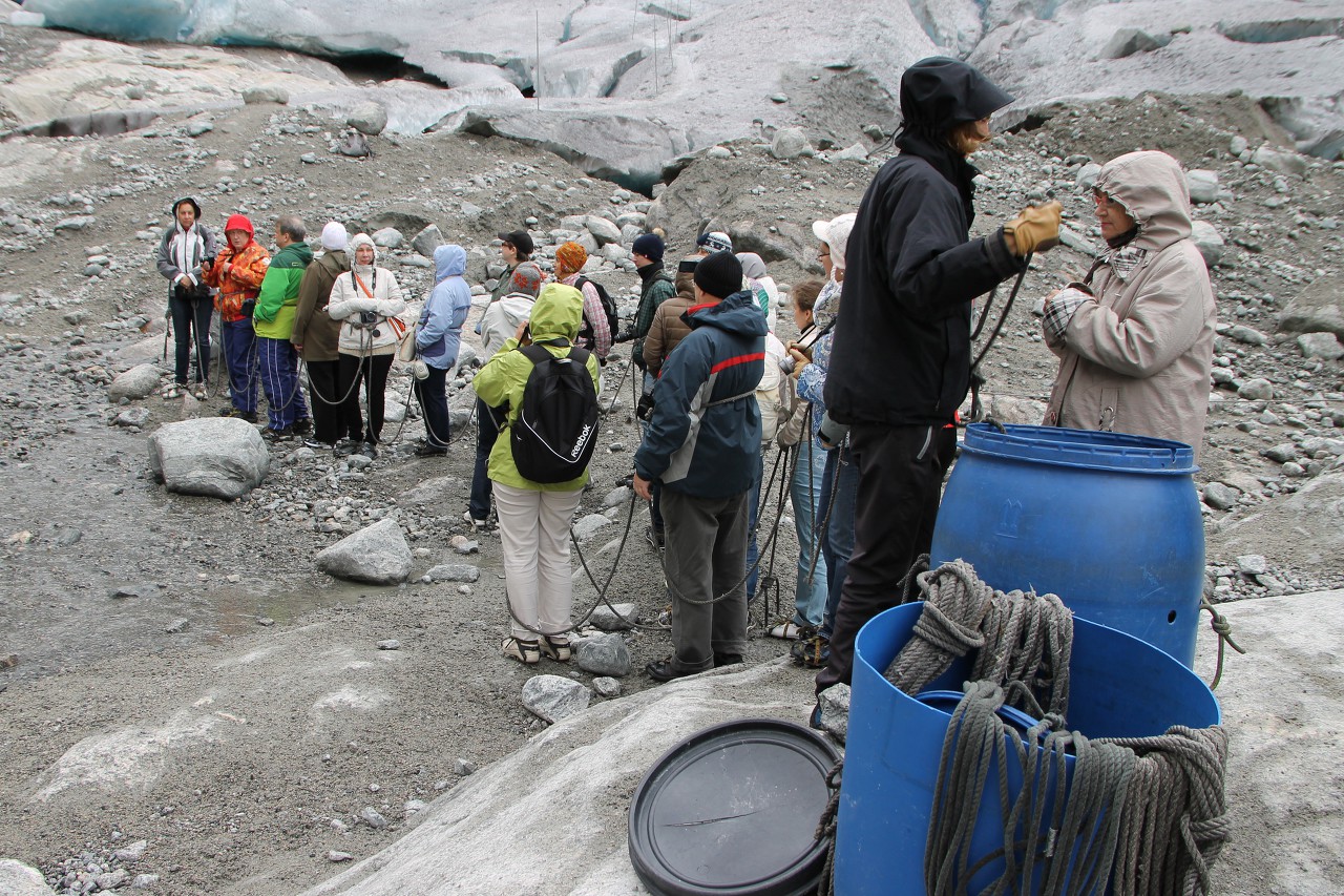
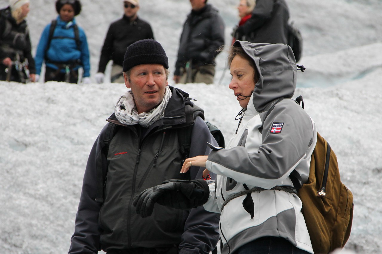
Then the instructor who will lead our group, with the help of a guide-interpreter, told us about the rules of behavior and safety measures on the glacier. By the way, in the glacier information center, each tourist leaves his signature that he undertakes to comply with all safety requirements and instructions of the instructor.
Finally, our chain is ready to "conquer" the glacier.
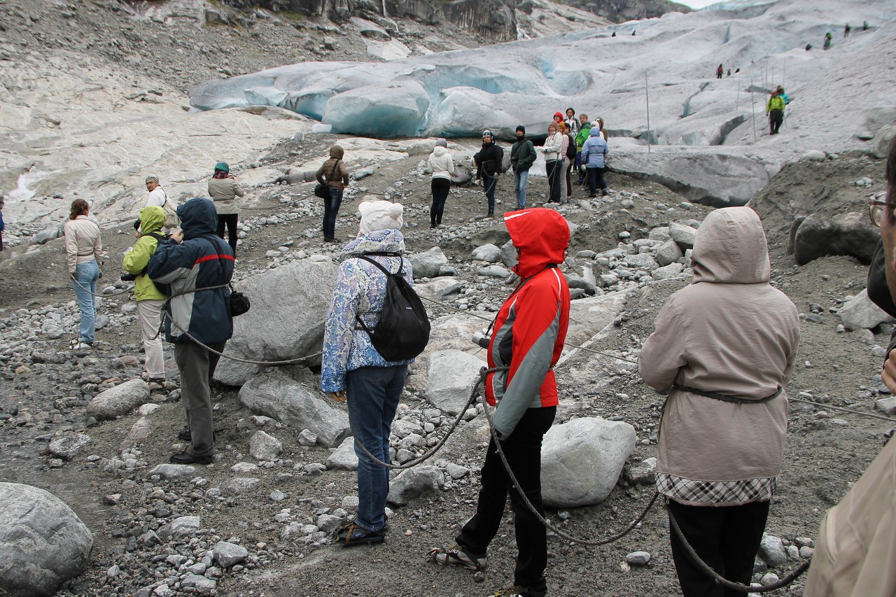
The first steps on the thousand year old ice were not difficult.
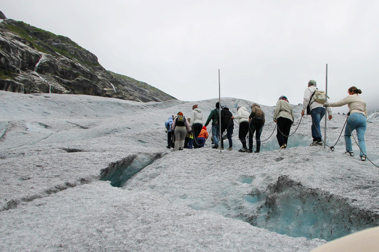
Then we had to overcome a fairly steep section of steps cut in the ice, which had already "floated", since more than one group had already walked along them. In places, instead of steps, there were deep pools that had to be avoided by a steep slope.
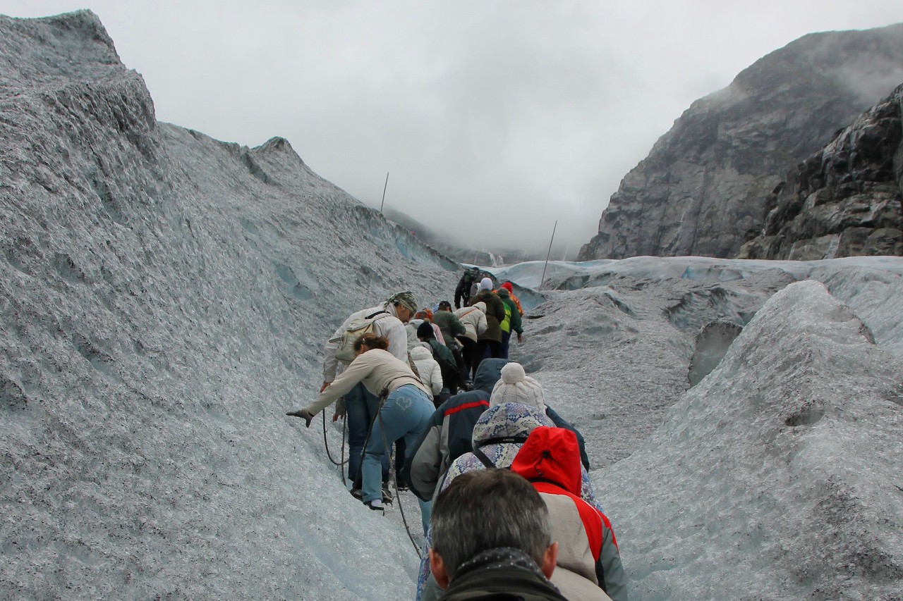
We go slowly, there is time for photos, some shoot on video.
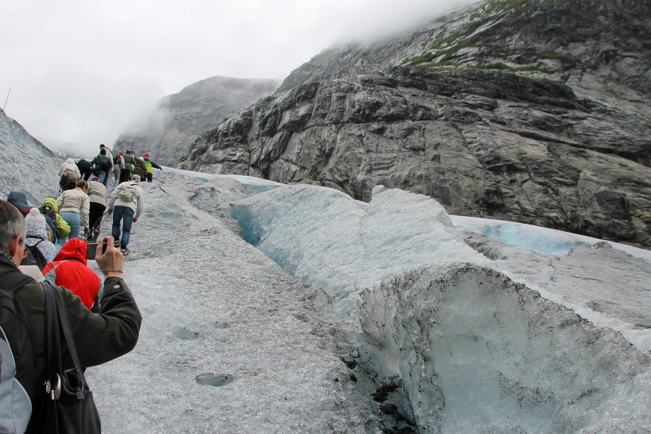
It happens that someone falls (this is not terrible at all), and then the whole chain stops.
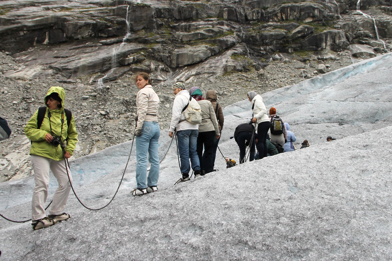
Looking back, I find that the "base camp" is far below. The bottom of the glacier does not seem to be high.
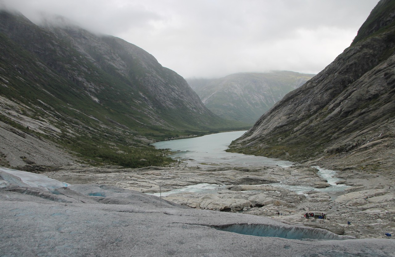
In places, long cracks cut through the ice. Closer to the lower edge of the glacier, large areas are broken off, washed away from the bottom by meltwater.
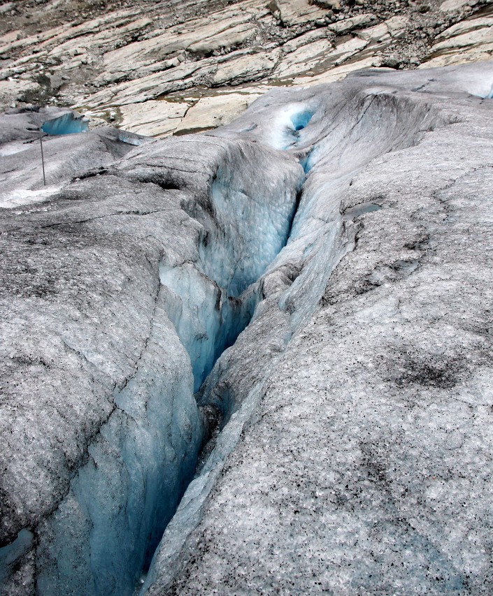
A short stop, you can catch your breath, although it seems that all the members of our group keep up the pace well, despite their different ages. Most of my fellow travelers are experienced tourists, so we did not have any organizational problems during the entire tour.
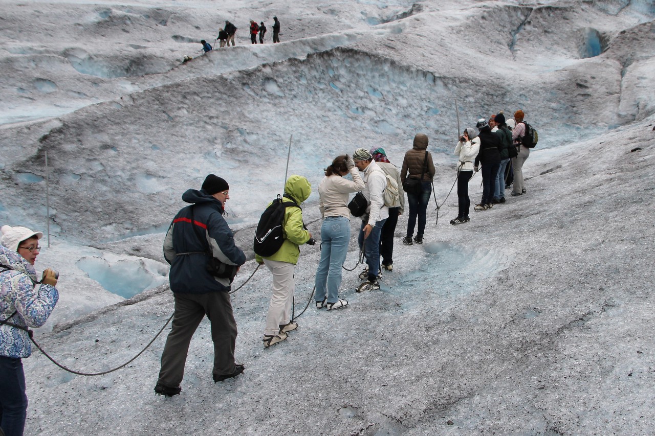
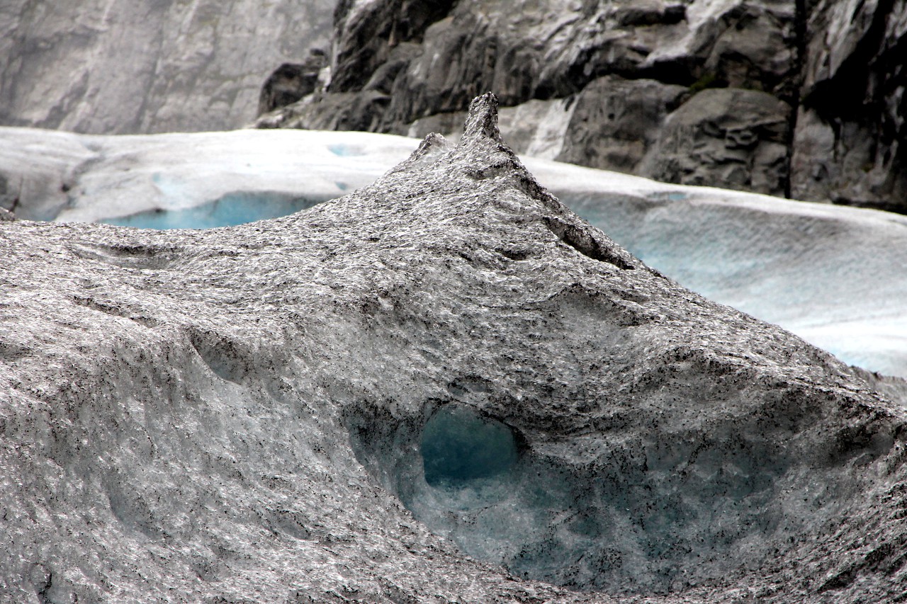
Carefully avoid a deep drop-shaped hole. Such caves are formed due to the heterogeneity of the ice - where the ice is less dense, it is washed out faster with water, forming channels that penetrate the thickness of the ice to the stone sole. There, meltwater forms subglacial streams that merge to form a rapid flow of blue-white water.
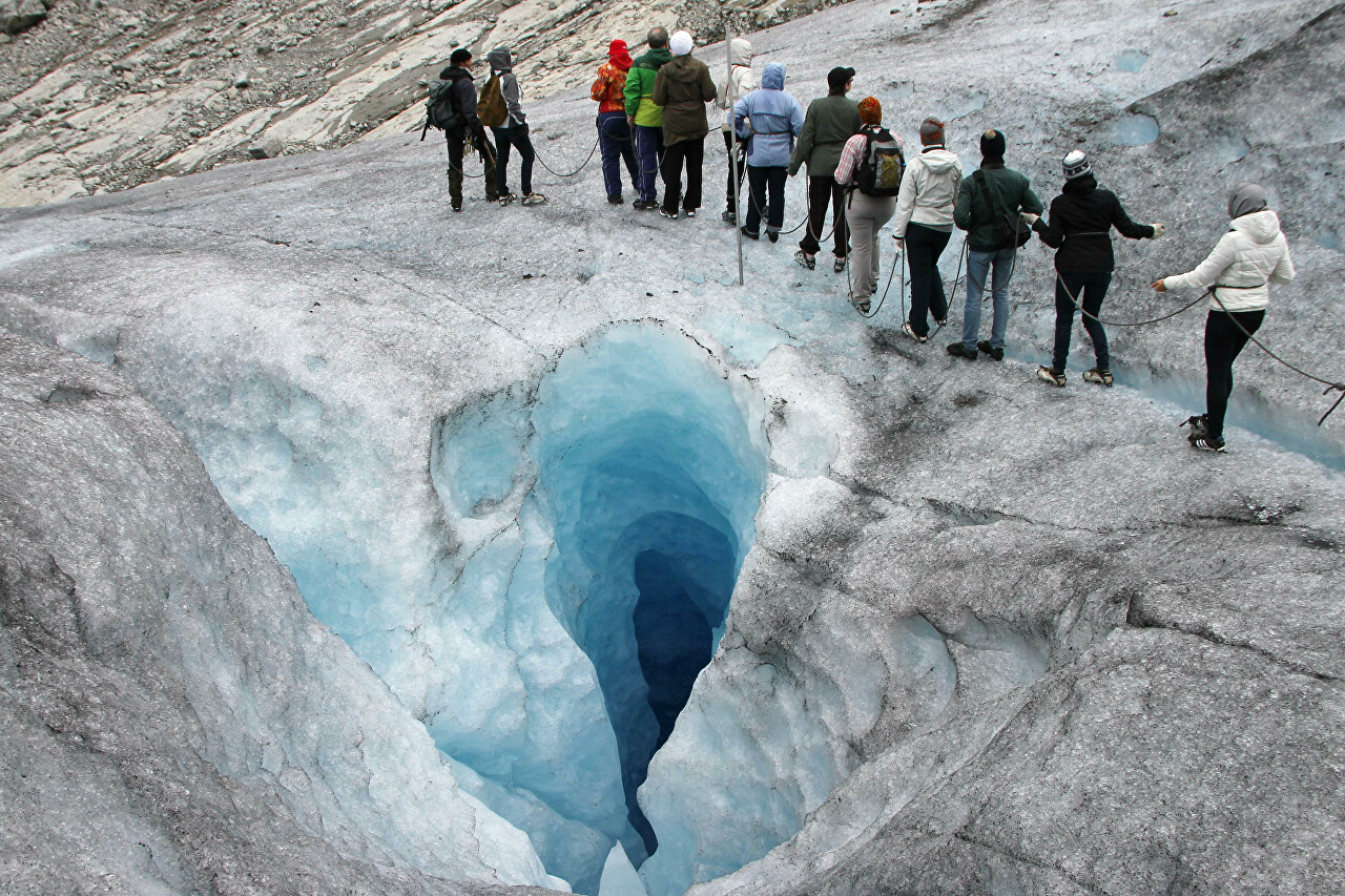
In such caverns, you can clearly see how the color of the ice changes with depth. The glacier exists solely due to a large amount of precipitation. The snow that falls on the glacier is first transformed into firn (from the old German firni - last year's), densely Packed, grainy and partially recrystallized, usually multi-year snow, it has a white color.
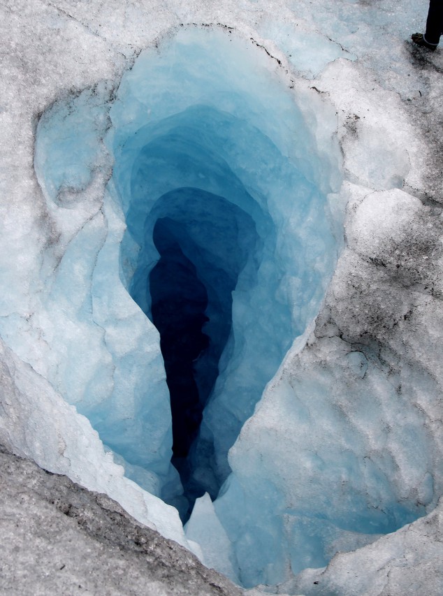
The lower layers of firn under the pressure of the upper ones turn into a homogeneous mass-glacier ice, it has a certain crystal structure, content and shape of air bubbles and pores. It is the presence of air bubbles and pores that determines the color of ice.
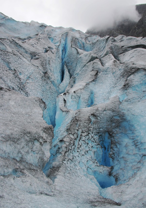
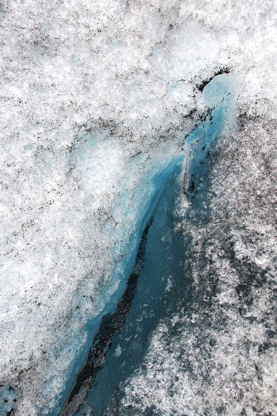
There is a lot of air in the upper layers, so the ice is white. The lower and older the ice, the fewer air bubbles in it, they are gradually squeezed out to the surface due to the amorphous (fluidity) of the ice.
We go in zigzags, as if on a mountain serpentine, continuing to climb higher and higher.
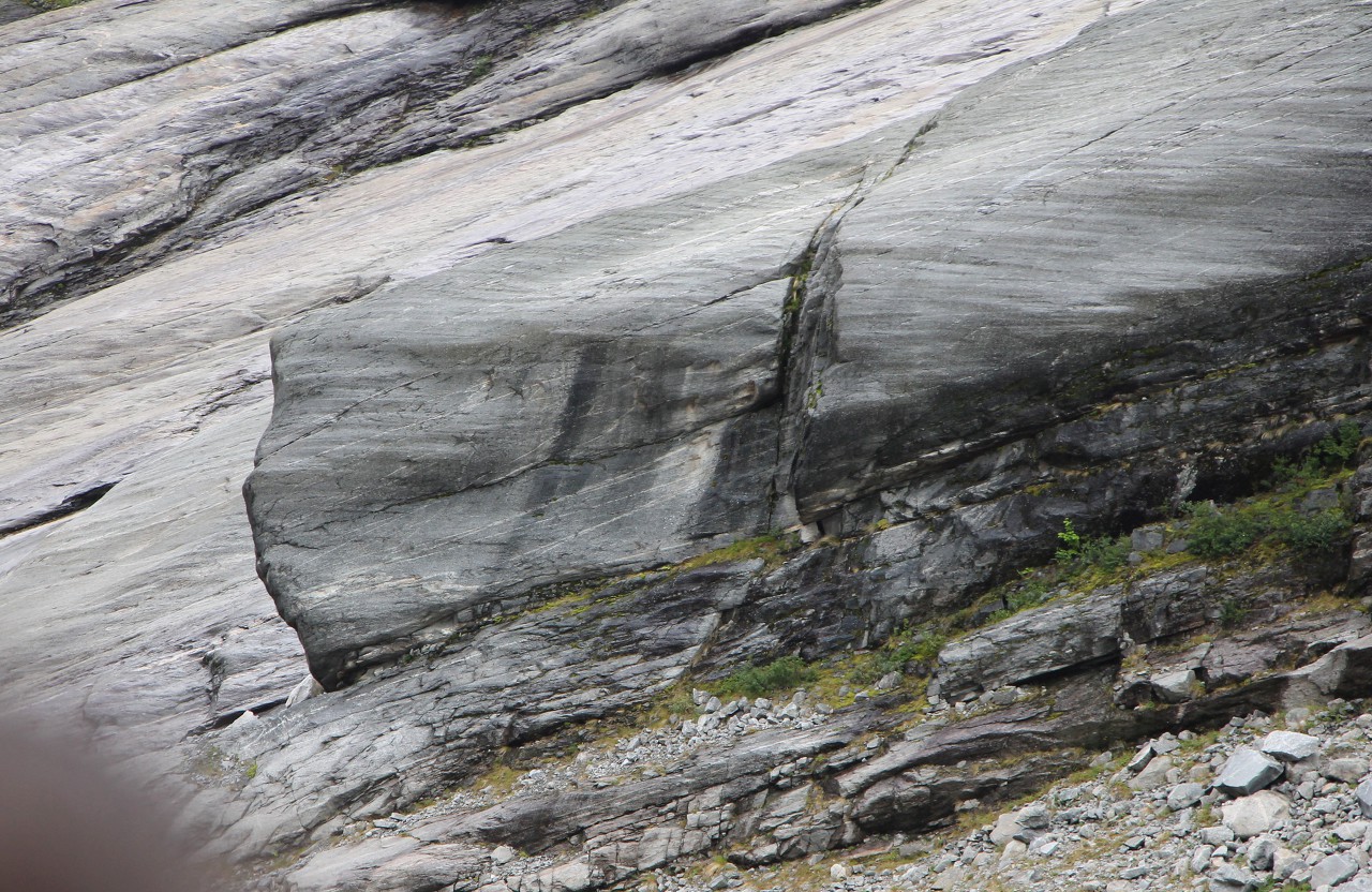
At one of the turns, we pass a steep wall, the rocks of which are smoothed by the movement of ice that has lasted for many thousands of years.
Finally, we reached the top point of our our route. Here my Navigator showed an altitude of 680 meters above sea level. "The whole world is in the palm of your hand, you are happy".
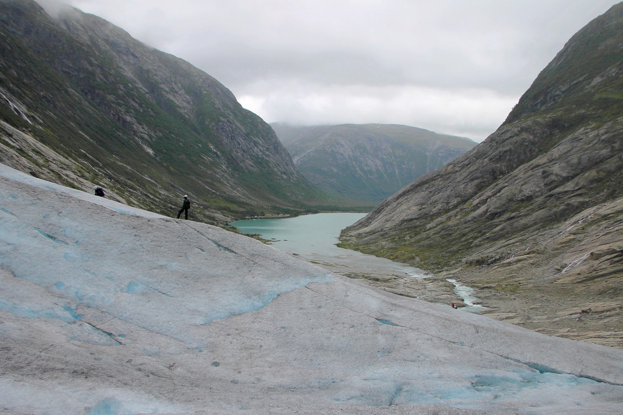
We walked on the glacier for more than a kilometer, rising 180 meters from its lower edge.
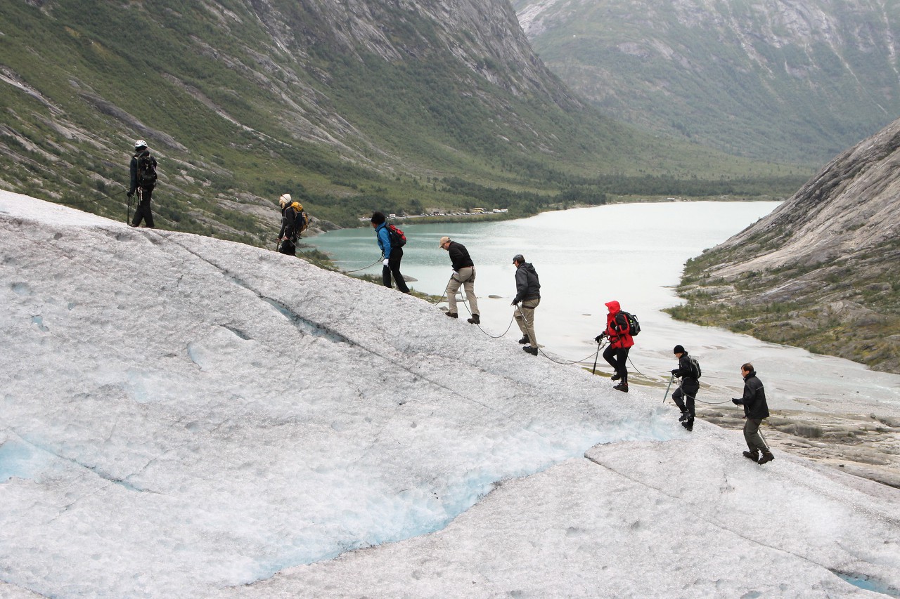
Of course, this is far from the top of the glacier, to get to it you need time, equipment and experience. On this ascent we saw a small panoramic film at the Norwegian glacier Museum in Fjærland.
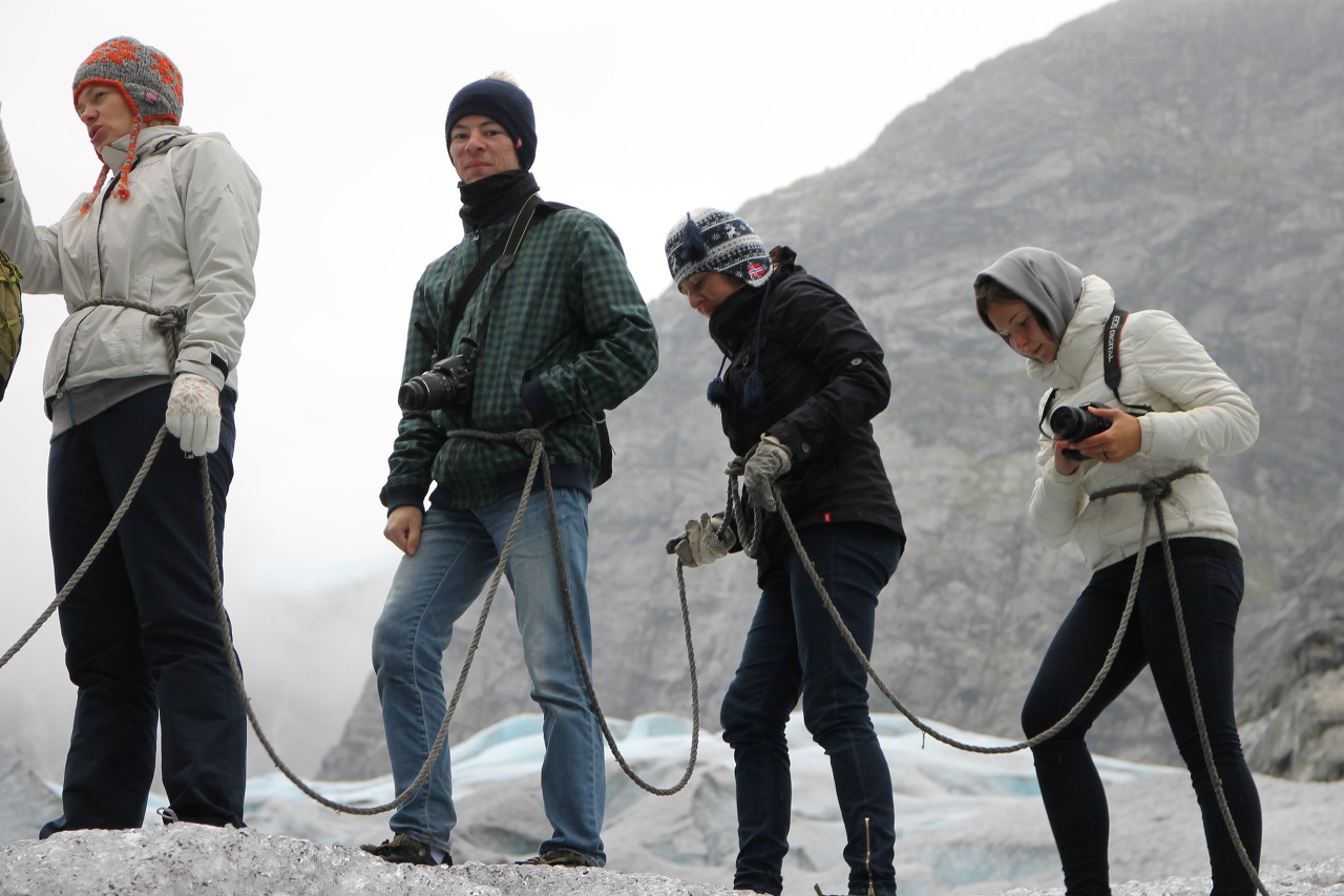
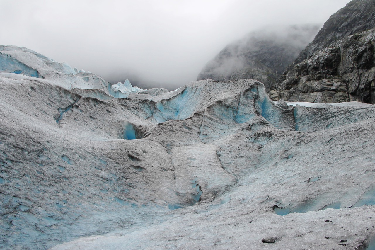
We can only look to the north, where the bulk of the glacier is lost in the clouds.
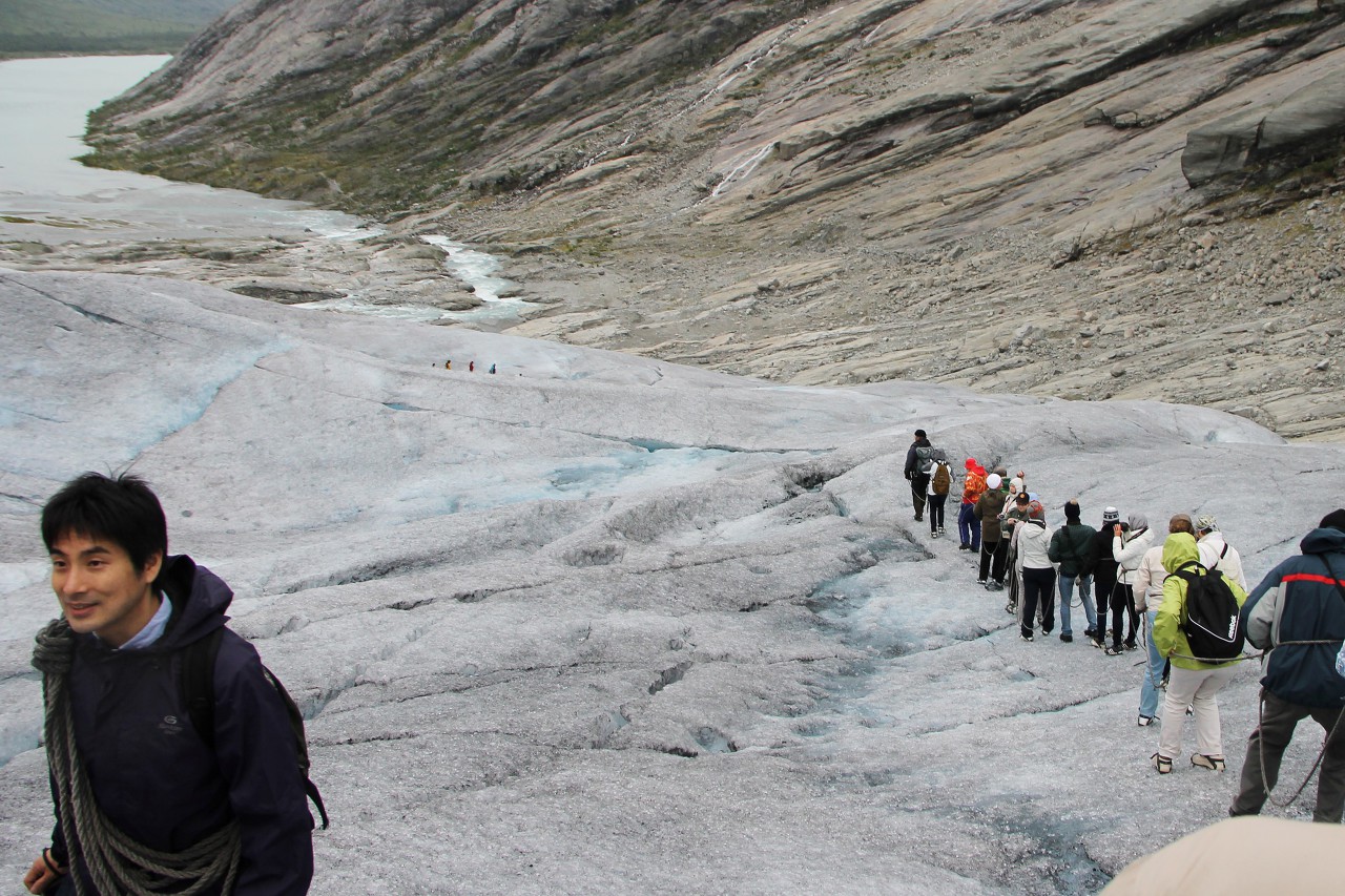
 We start moving down, and our place is taken by a group of Chinese tourists.
Just below, we diverge from a small group that has a more complex route, as can be seen from the equipment. The glacier offers routes of various complexity, including for professionals.
The ice is covered with a black coating - this is both pollen of plants, and volcanic dust brought by the wind, which for centuries sinks into the thickness of the ice, and when melting accumulates on the surface.
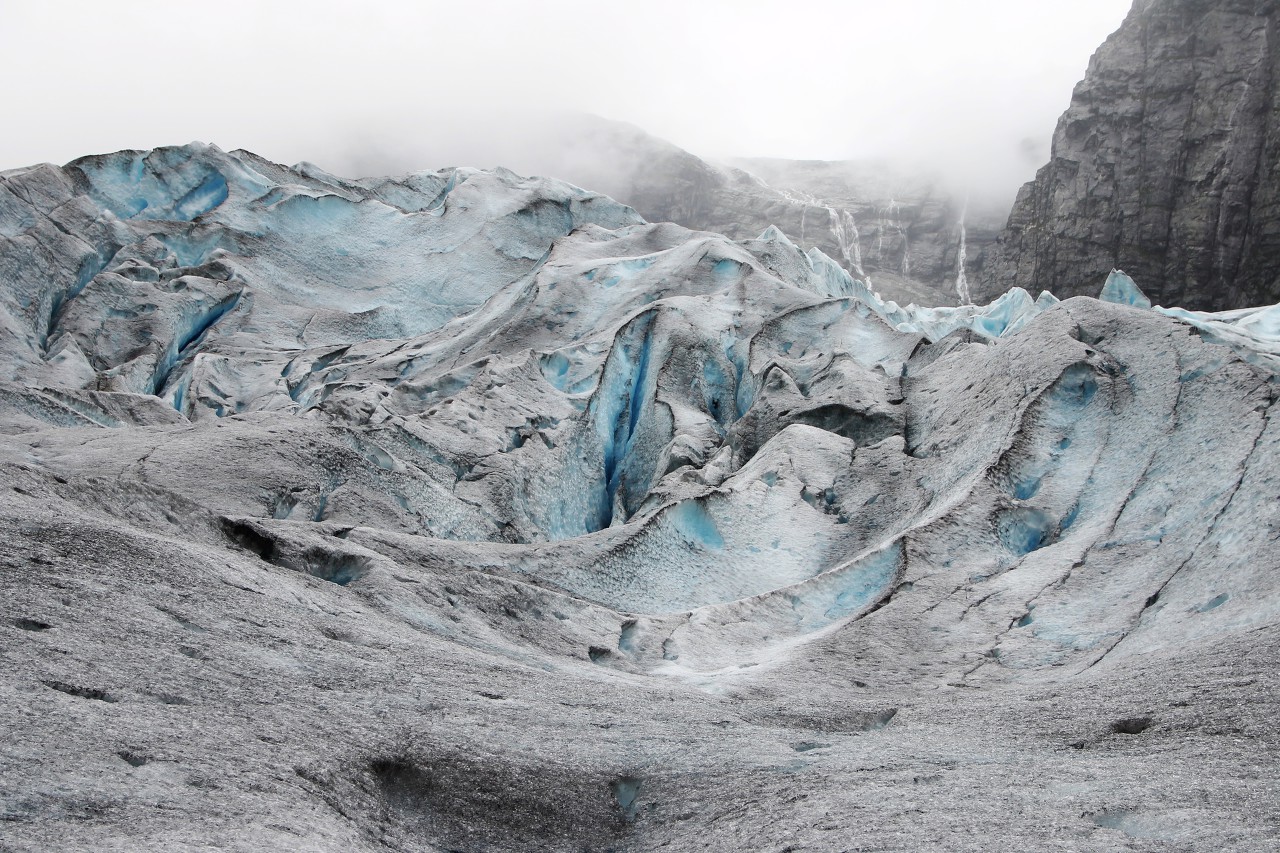
When melting, absolutely incredible shapes are created, in the form of fantastic mountain peaks with caves and arches.
Another oncoming group "goes in a circle", giving way to us. Those who go up always give way - so there is a chance to take a break...although I did not feel tired at all, not when climbing, not when descending.
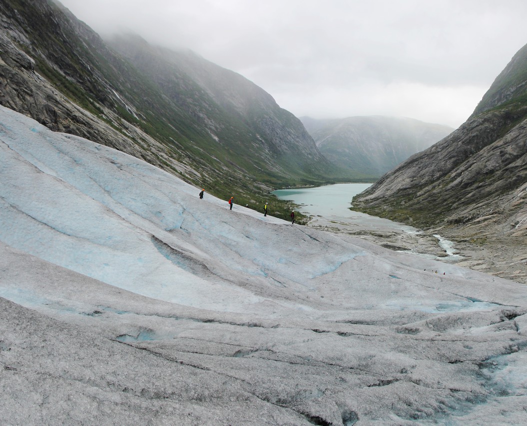
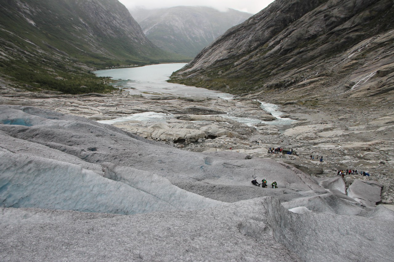
On the way back, you can enjoy wonderful panoramas of the lower part of the glacier and the lake, surrounded by high mountains. Only here you can see how steep the slopes are, when I walked along the path along the lake, they seemed to me more gentle.
We continue our way down along the gigantic crack.
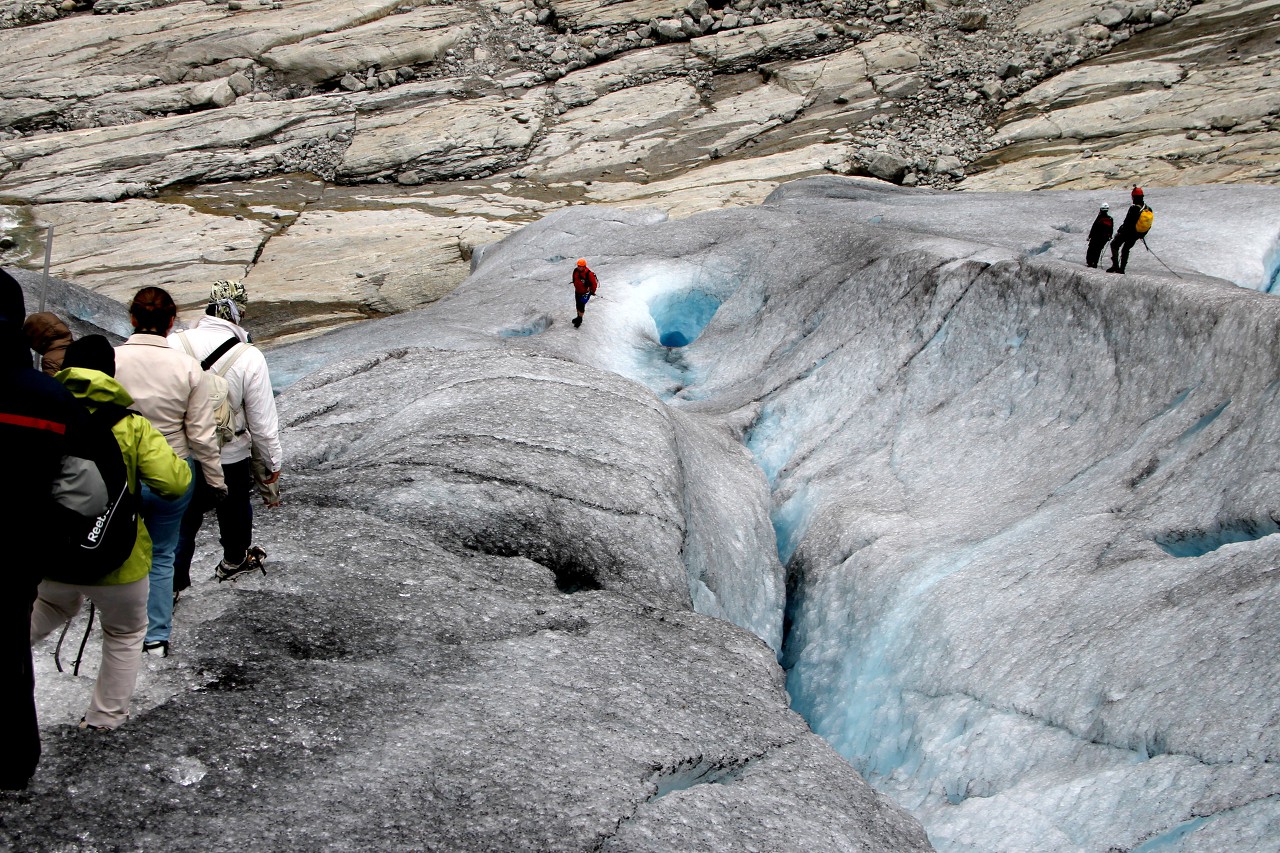
Despite the safety measures, falls and injuries still happen here, including fatalities, so do not lose your vigilance, and while admiring the surrounding beauty, do not forget to look at your feet.
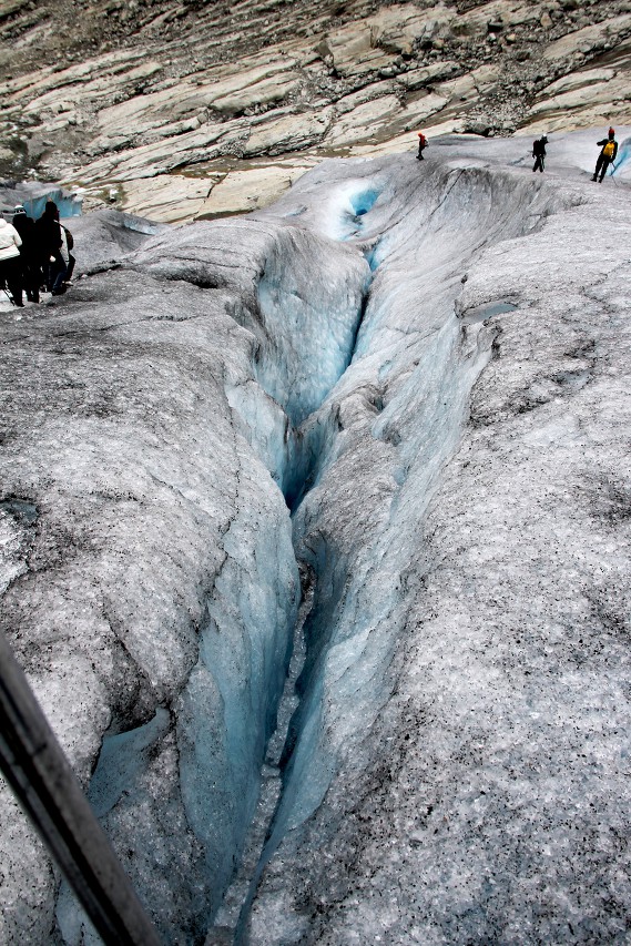
Our chain consists of three dozen people, so the head is sometimes much lower than the tail.
The smoothed rock surface between the edge of the glacier and the lake shows that the glacier used to descend much lower. The position of the edge depends on the time of year, and especially on climate cycles. For example, in the first half of the 18th century, the ice moved 4 kilometers, covering the entire lake and the valley of the river flowing out of it, swallowing the farm nigard, which gave the glacier its name.
The last meters of ice steps that instructors cut down every morning, as they disappear under the feet of tourists during the day. Our walk on the glacier has remained in memory as one of the most vivid pages of this trip.
