Guadalhorce Dam and Valley. Hiking to El Chorro
A shuttle bus from El Chorro station takes tourists to the El Kiocko restaurant (on the map), where the walking route along the Royal Trail begins. Here it is advisable to replenish the supply of calories in the body, since the path is not very close. Don't forget to buy water - there will be no hot spots on the trail, and the canyon is very hot in summer and even early spring! This is the long version (Acceso Grande).
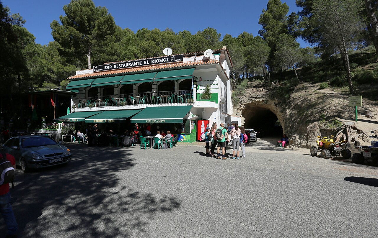
To the right of the restaurant, we head to the tunnel called "Big" (Tunnel Grande). This is the Northern entrance to the trail (Acceso Norte).
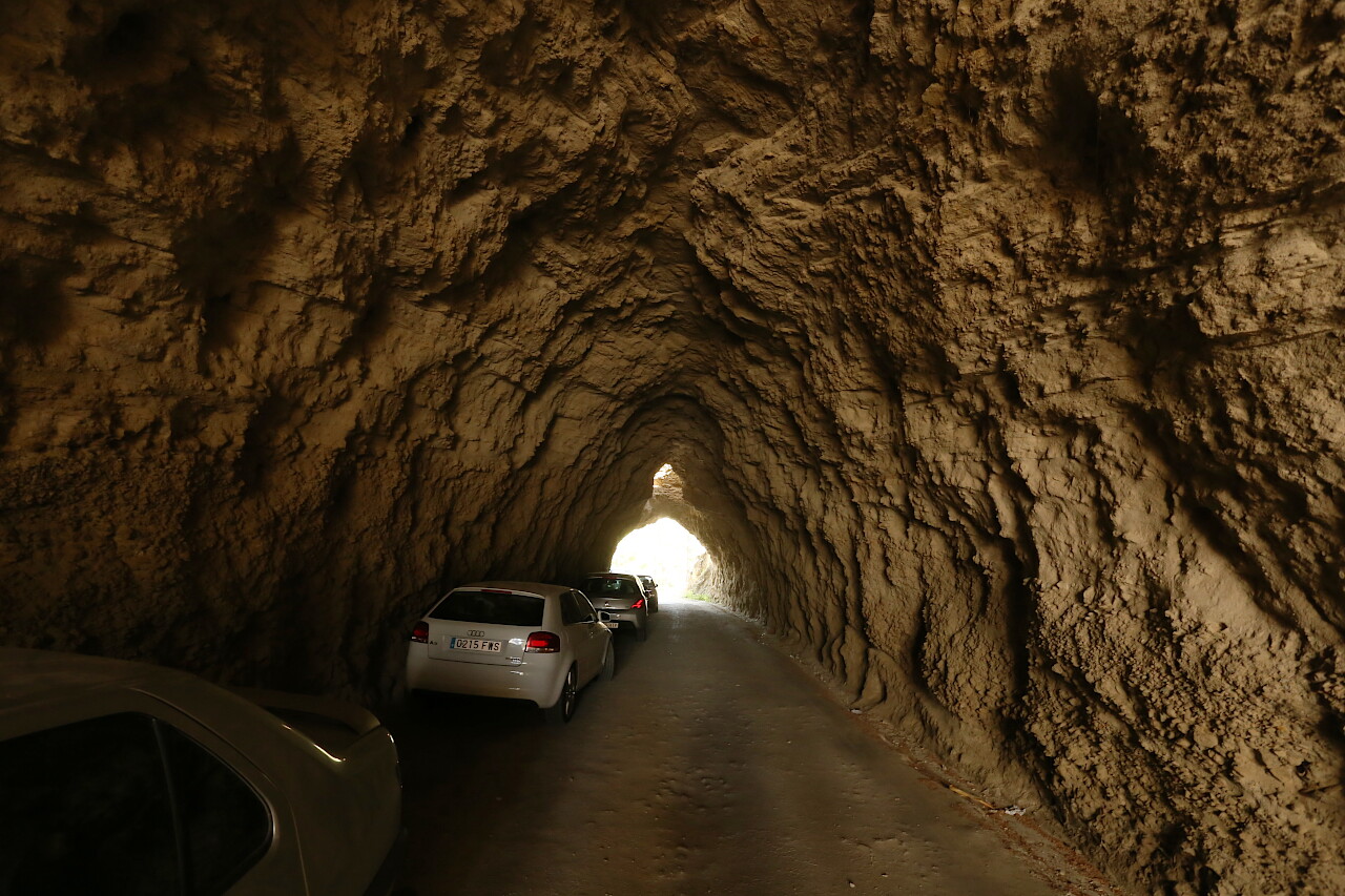
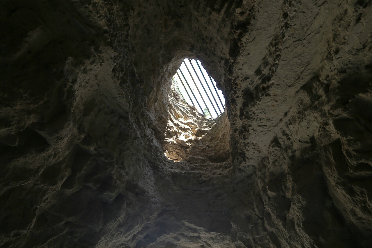
Passage B is notable for the complete absence of any decoration, it's just a hole in the rock. At the northern end there is a small grotto-hole - the only source of light, except for the entrances. The tunnel is about 50 meters long. In addition, there is also a Small Tunnel, which I have already told you about.
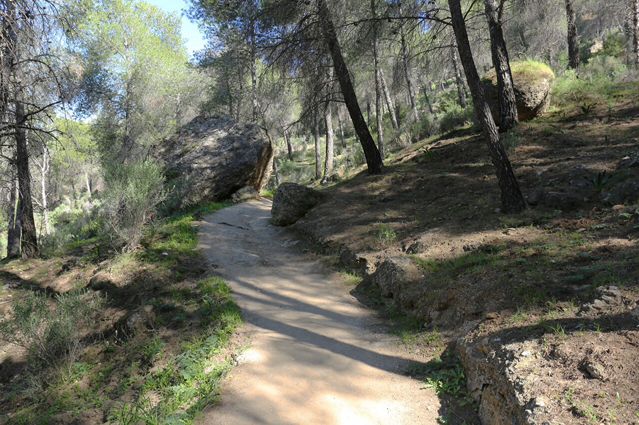
Just behind the tunnel begins a forest path.
The sign says that the entrance to the gorge is two and a half kilometers away.
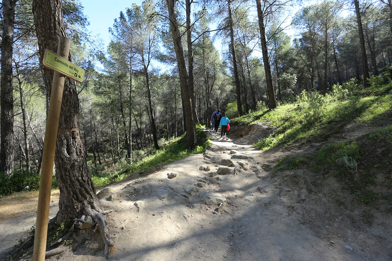
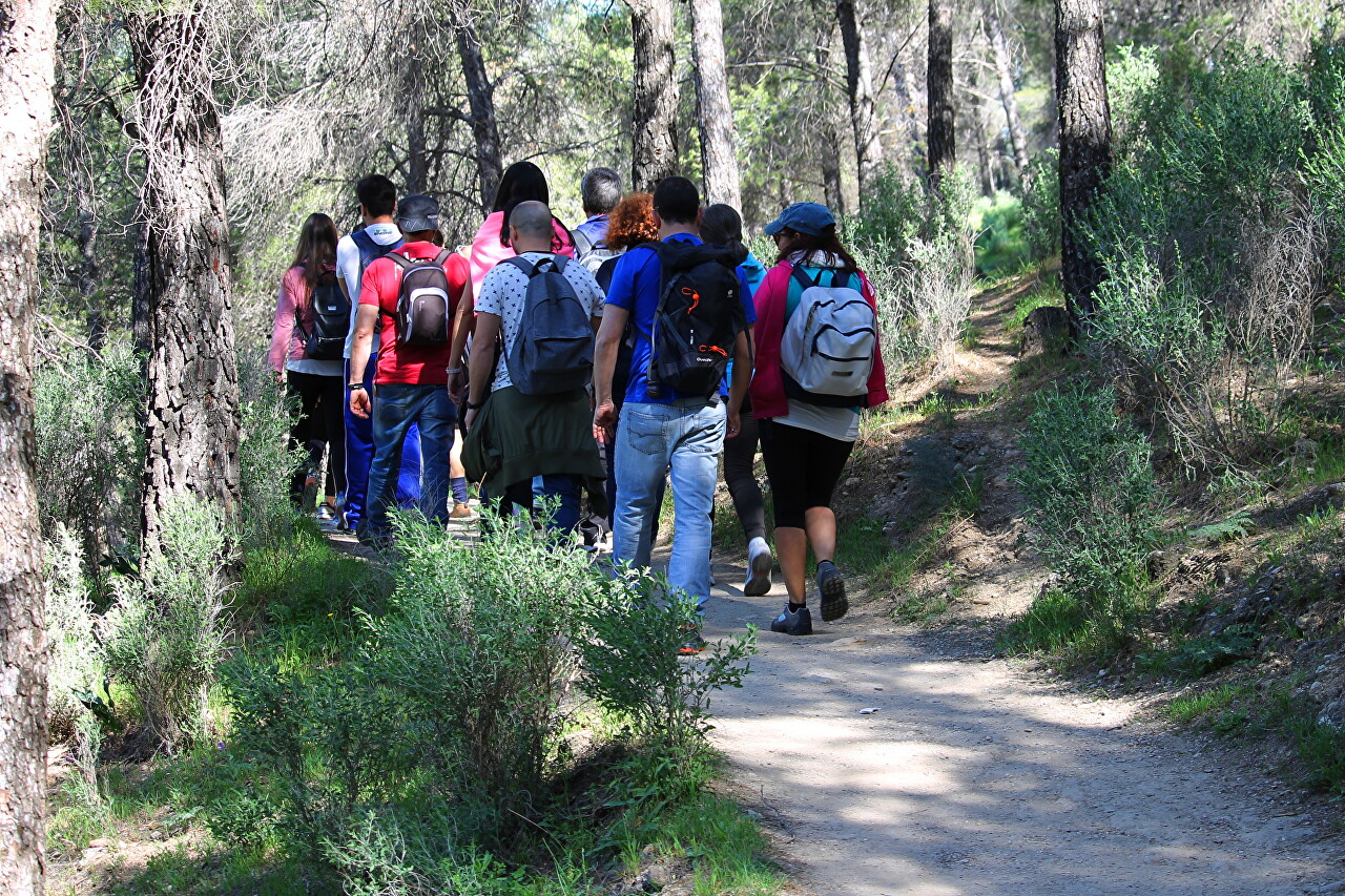
Today is a day off, so the route is very busy - a lot of residents of Malaga, who went to nature in large family companies.
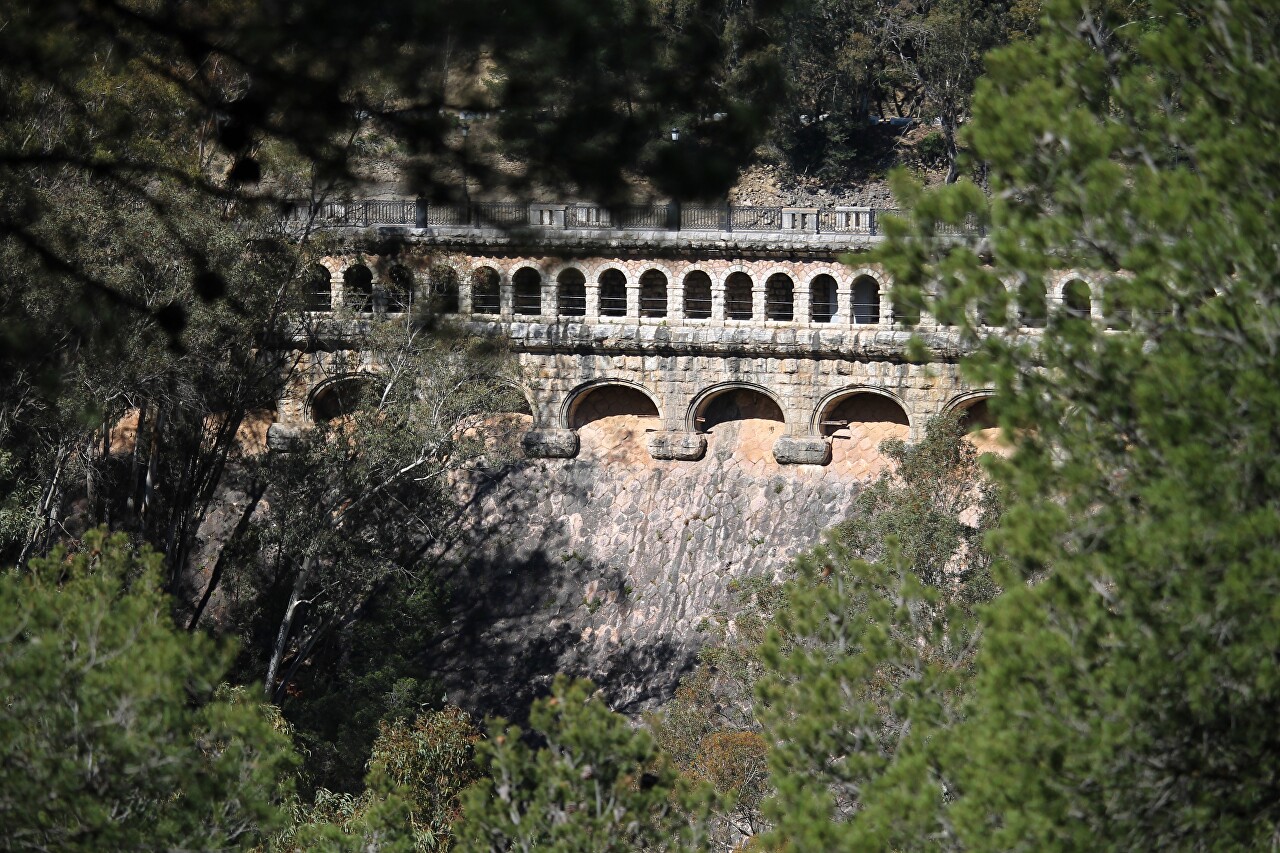
On the left, you can see the Guadalhorce Dam (Presa Conde De Guadalhorce on the map), the first major hydroelectric facility built in the El Chorro Gorge. Construction was carried out in 1914-1921, so the dam is not devoid of architectural appeal, favorably differing from modern featureless concrete blocks. The author of the project and construction manager, Rafael Benhumea, was called a "poet engineer" by his colleagues. his work has always combined functionality and elegance, perfectly fitting into the surrounding landscape. The King of Spain, Alfonso XIII, who arrived at the opening of the hydroelectric station, was so impressed by the harmony of the construction that he granted the author the title of Count of Guadalhorce.
At the beginning of the 20th century, Malaga was supplied with electricity from two steam stations owned by foreign companies. Their capacity was limited, which hindered the development of industrial production. The head of the Loring-Heredia family of industrialists from Malaga, on the eve of the new century, put forward the idea of using the water resources of the Guadalorse River to generate electricity. In 1901, Jorge Loring received a concession to build a power plant in the El Chorro Gorge. Raphael Benhumea, who was married to Isabella Erida Loring, took over the design and management of the site. This is a family business.
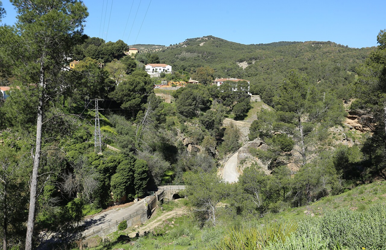
In 1905, the first power plant with a capacity of 3,000 horsepower (2,200 KW) was commissioned. The business turned out to be very promising - the energy limits were sold out at the construction stage. However, it was not without difficulties - in the same year, two leading shareholders Francisco Silvela and Jorge Loring passed away at once, which undermined the confidence of creditors and led to a drop in the company's shares. Two years later, a new blow - after heavy rains, the waters of the river flooded the power plant. To save the project, Rafal Benhumea sold most of his assets, and other members of the family followed suit, including their wives, who sold their jewelry. The 1907 flood affected not only the family business, but also caused considerable damage to the region's economy. This led to the creation of the State Department of Water Resources of Southern Spain, which took over the issues of prevention of such disasters and irrigation of agricultural land. In 1911, Benhumea secured 50% of the state funding for his new project. The creation of a hydroelectric complex capable of taking on floods would save the valley from flooding, as well as provide great opportunities for agriculture. Under the terms of the funded program, 10% of the project budget must be used for the construction of irrigation facilities. As well as being a talented engineer, Rafael Benhumea also possessed the art of persuasion, thanks to which he received the support of not only officials, but also farmers.
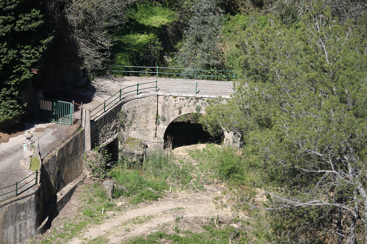
The original project called for the construction of a dam on the Gaitanes River, but the first studies of geology forced to abandon this idea. As a result, the site was chosen for the dam at the confluence of the Turon and Guadalorse Rivers. A dam 72 meters long and 50 meters high blocked the river Thuron, forming a reservoir 9.5 kilometers long and up to 3.5 kilometers wide. The water surface area was 465 hectares, while providing water for irrigation of 13 thousand hectares.
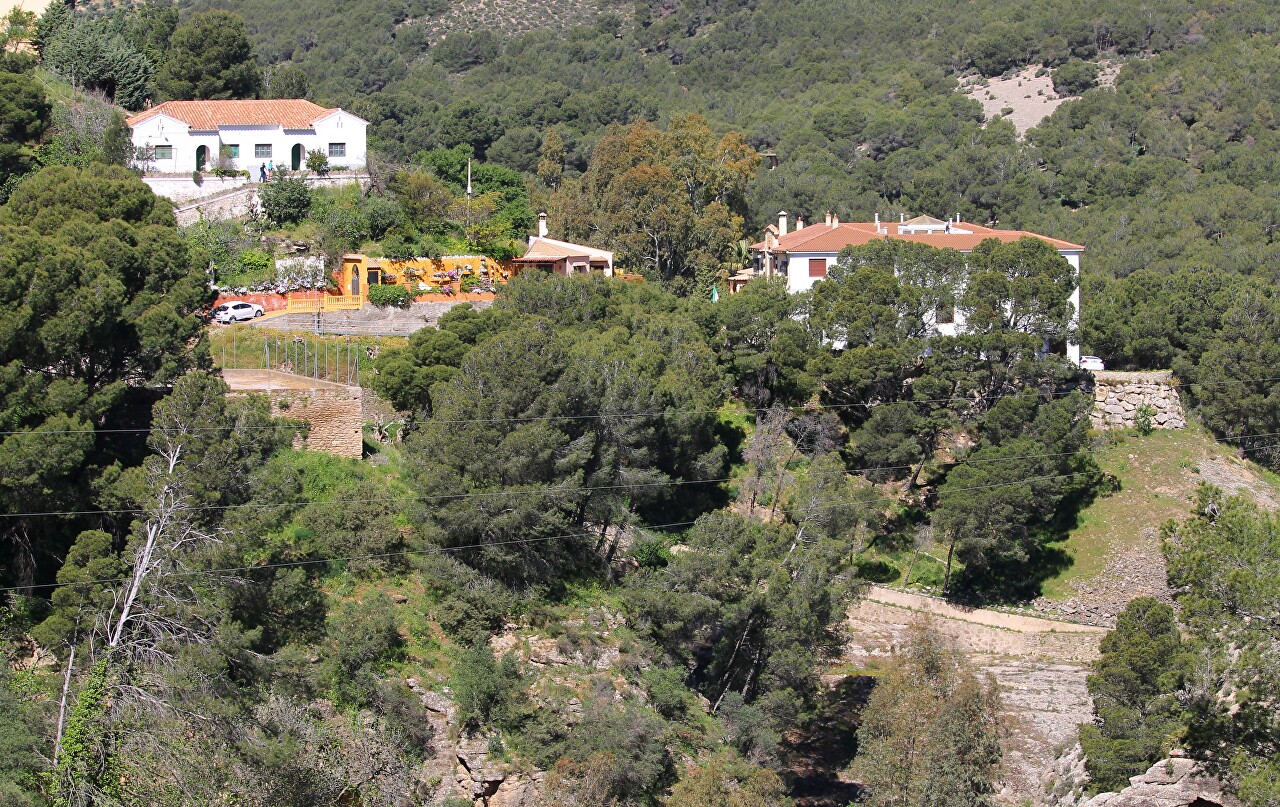
If you turn left from the Big Tunnel, you can go to the southern end of the dam, where there is a stone " royal chair "(on the map), where the act on putting the hydroelectric complex into operation was signed. Unfortunately, I only found out about it now...in general, there are a lot of interesting things in these places, and it is simply impossible to cover everything in one day. By the way, for the opening of the dam, the king went along the very path that is now called "Caminito del Rey" - "royal path".
After walking a hundred meters between the trees, you can see the cyclopean concrete spillway of the Guadaltebo Dam, built in the late sixties, and we will still reach it.
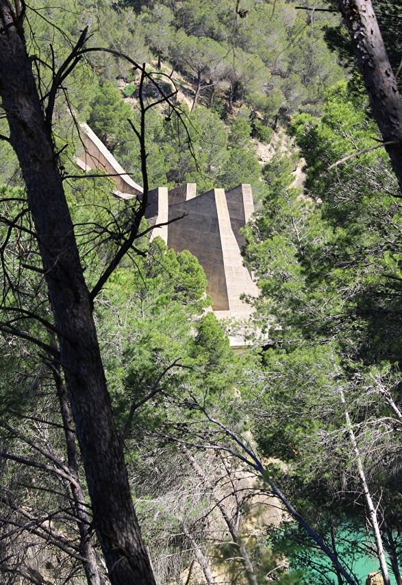
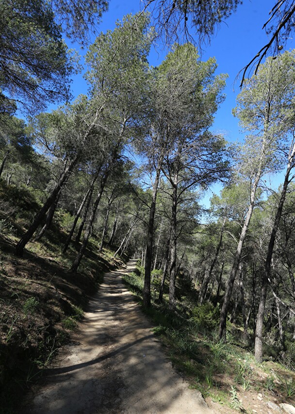
I continue on my way in the shade of tall pines.
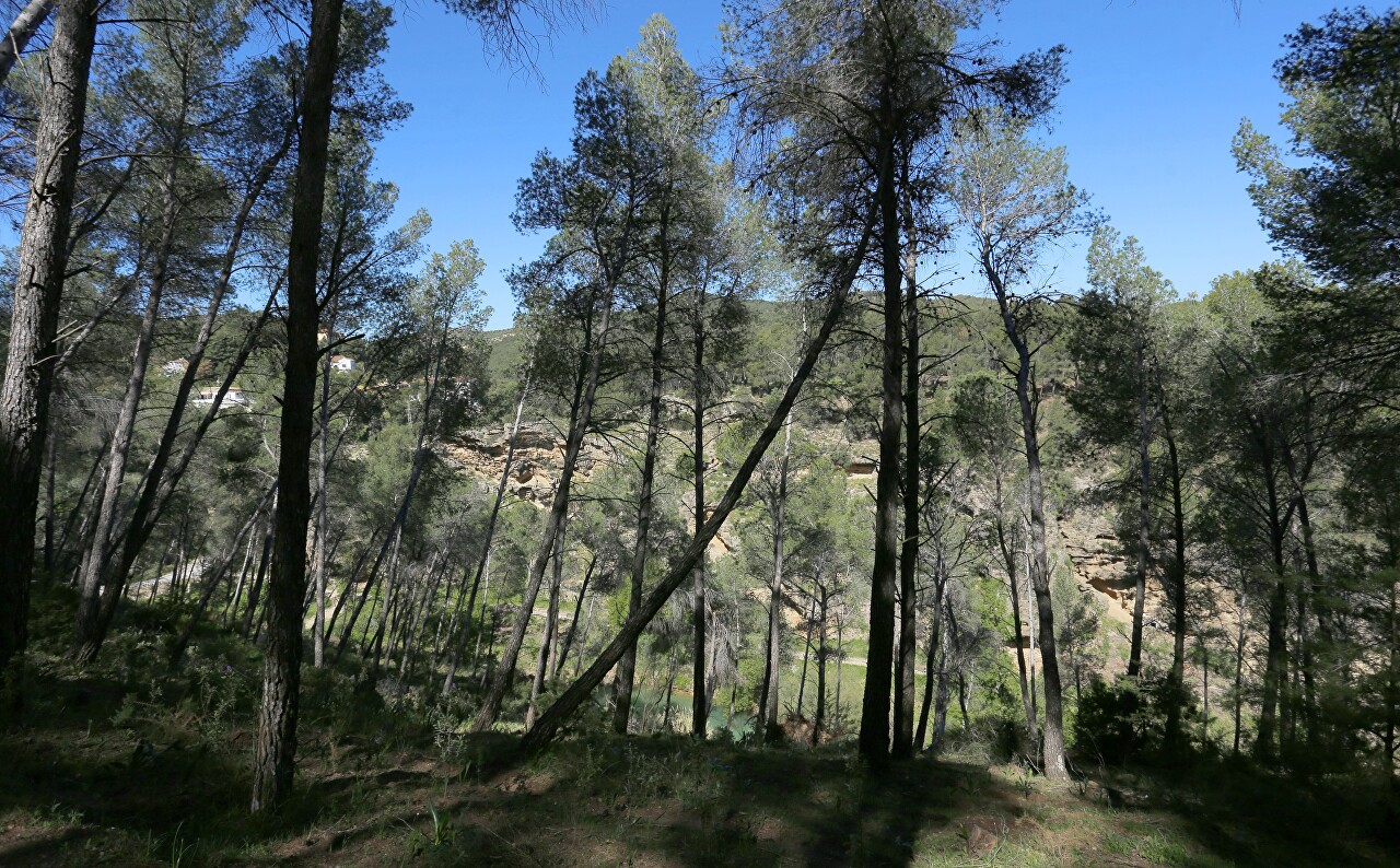
In some places, the path runs close to a steep slope.
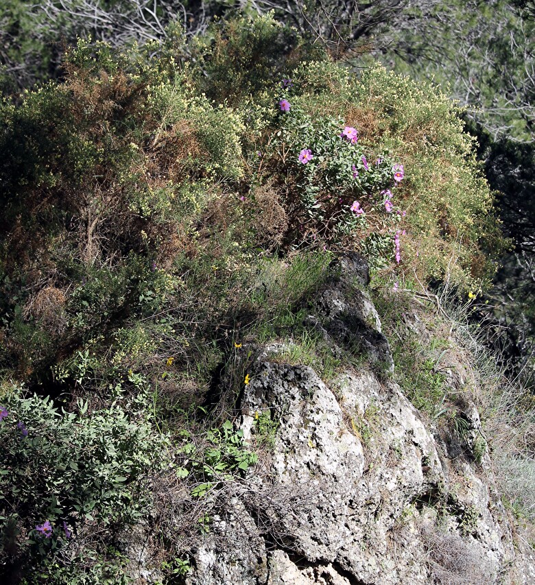
Picturesque rock covered with April flowers.
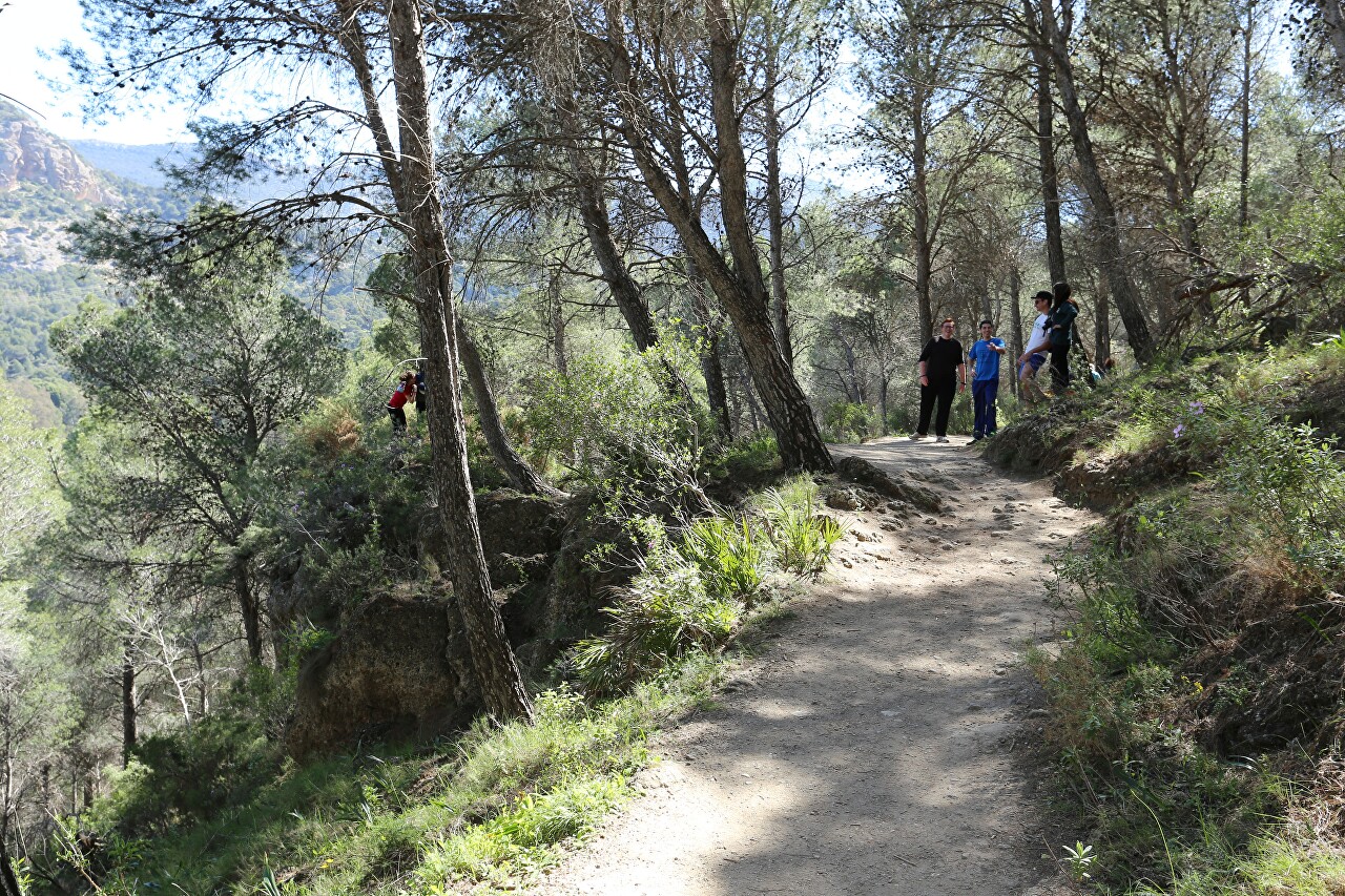
This is a great place for photos for those who are not afraid to fall down. I wouldn't risk going in there.
But in general, of course, the road is quite comfortable and safe.
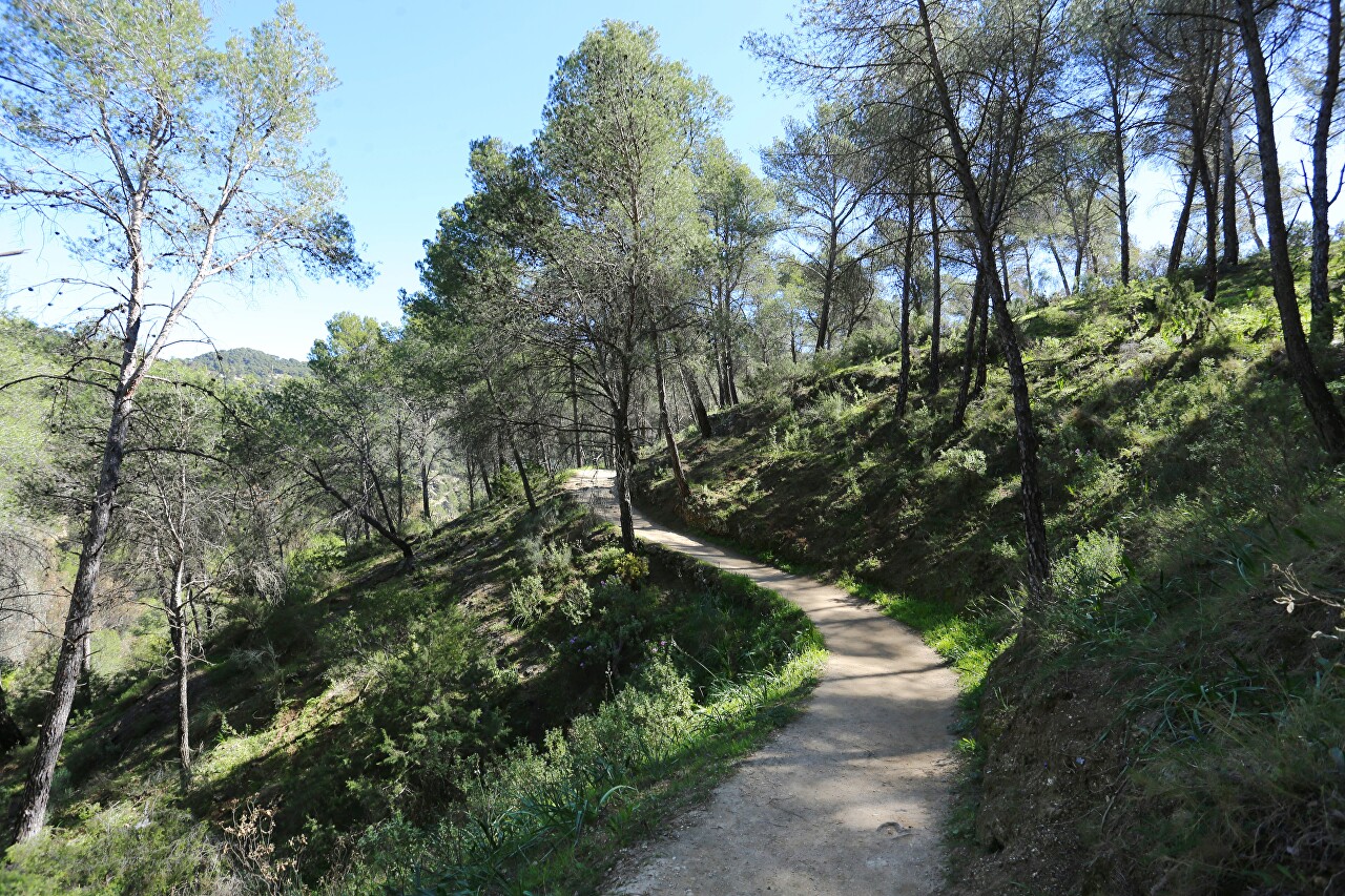
In some places, branches branch off from the main path, and there are many hiking trails leading to various natural attractions. To see all the beauty of the natural park, you need a few days.
Still, I took the time to turn right and ascend Mirador del Embalses (on the map).
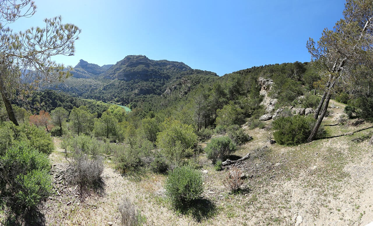
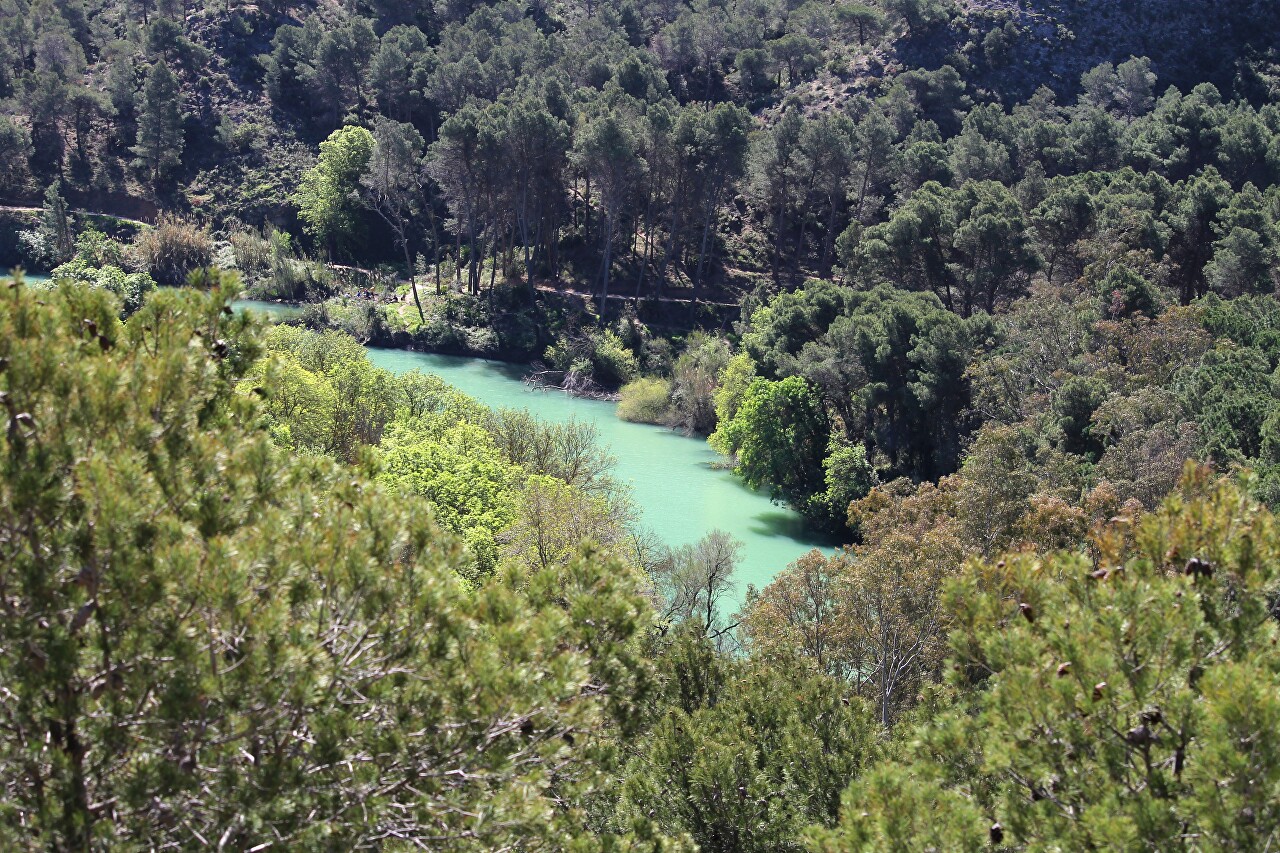
From the height of this platform, the entire valley is clearly visible.
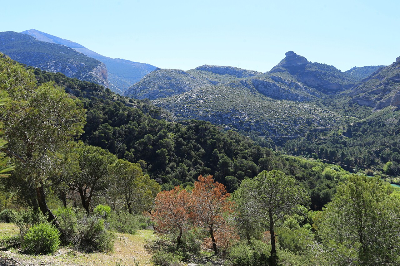
Below you can see the snake of the Guadalorse River, which resembles the color of the glacial lakes of Norway. This shade is given to the waters by the smallest particles of rocks through which the river flows.
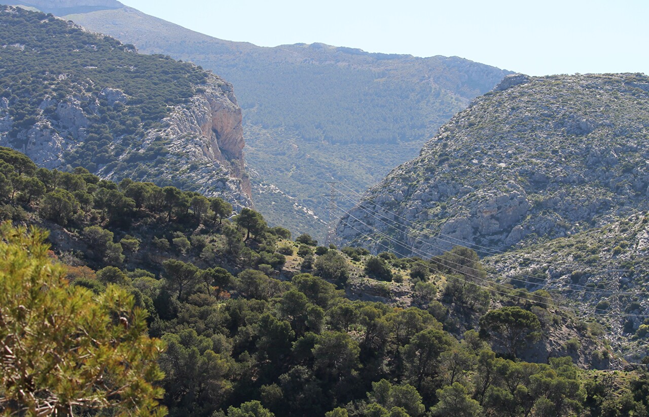
And ahead, to the east, the river valley is compressed by sheer cliffs. There is the entrance to the gorge.
