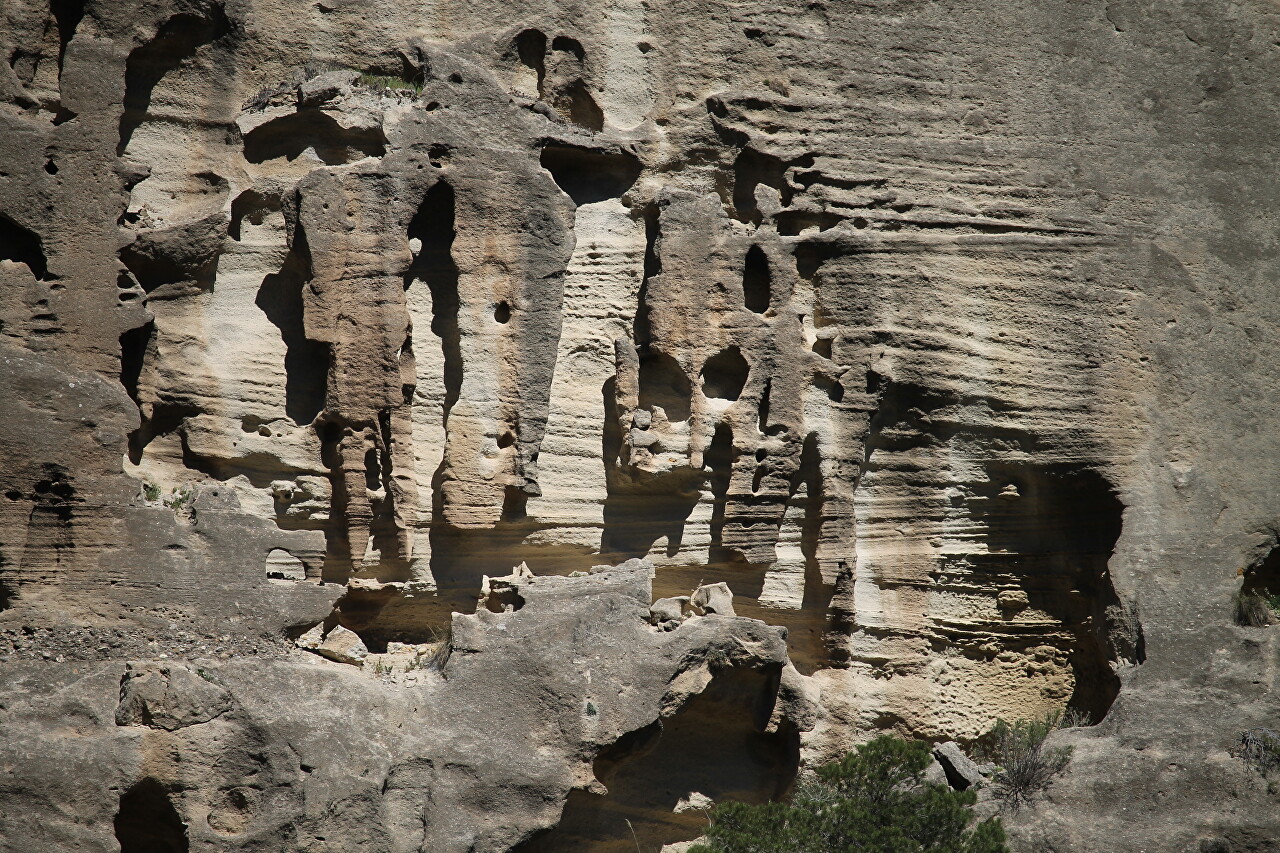
El Chorro. Gaitanejo Reservoir
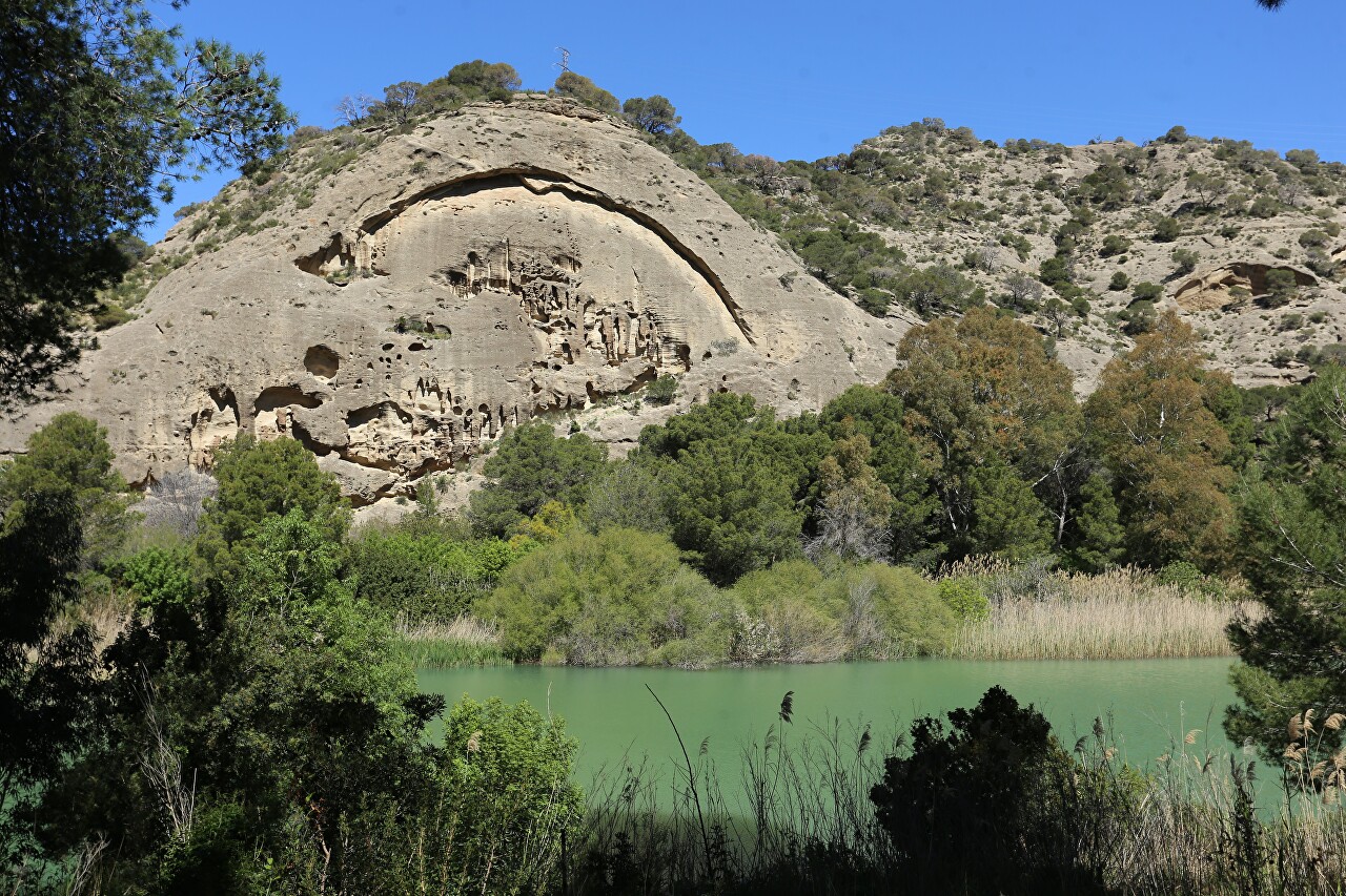
We continue our journey to the Camininito del Rey checkpoint, which we started at the northern entrance.
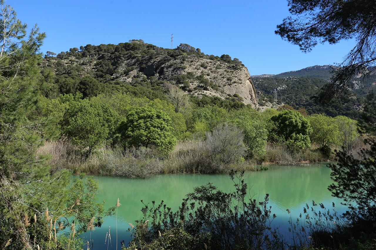
Then a winding mountain path led us to the valley at the bottom of which lies the Gaitanejo reservoir (Embalse de Gaitanejo).
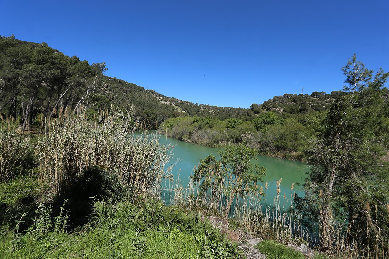
This reservoir originates from three dams - Conda de Guadalorse, Guadalteba and Guadalorse.
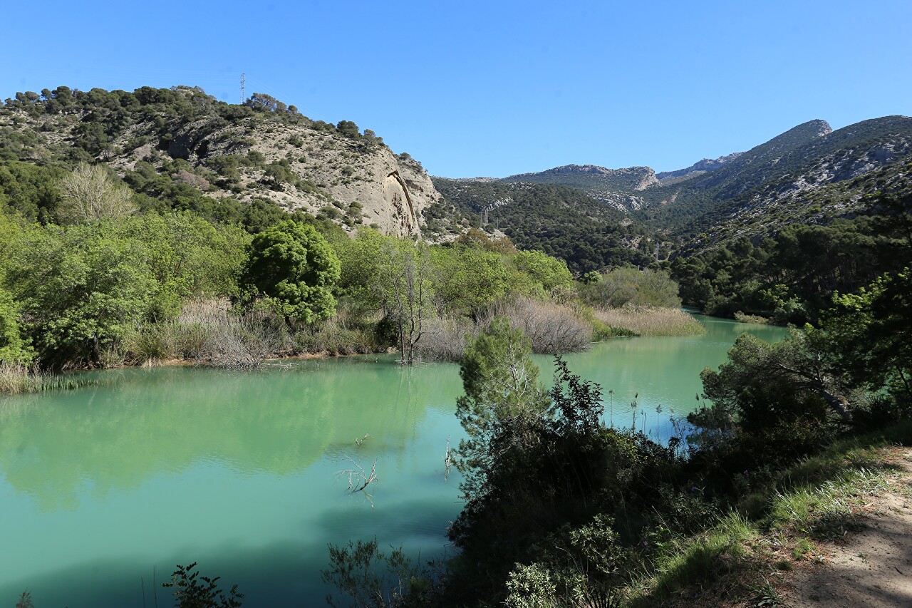
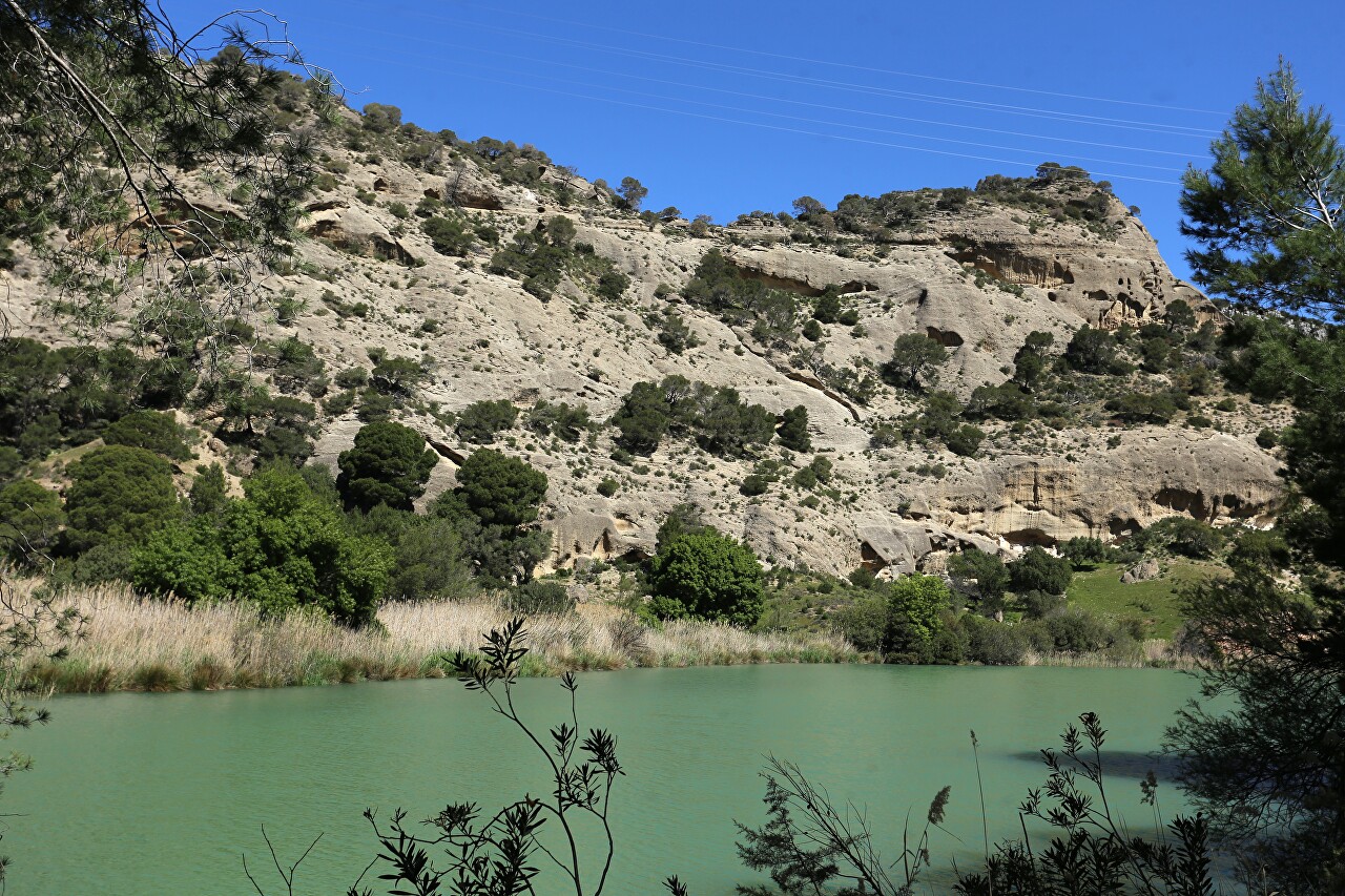
The reservoir is just a quiet river that flows through a wide winding canyon, very narrow in the upper reaches, sometimes up to 10 meters.
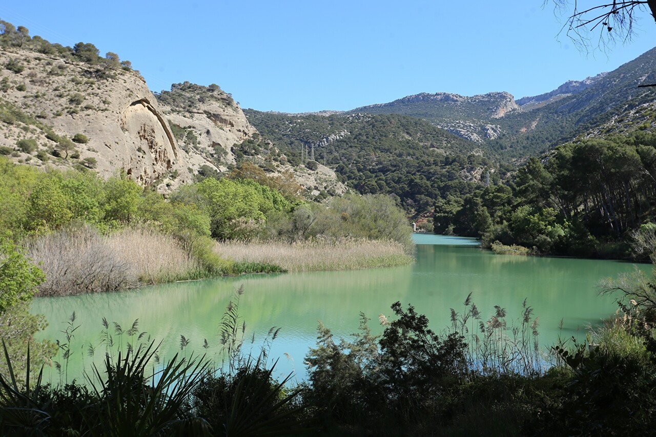
In the lower part, the emerald waters spill up to 100 meters.
The reservoir is supported by the Gaitanejo Dam, built in 1924-1927.
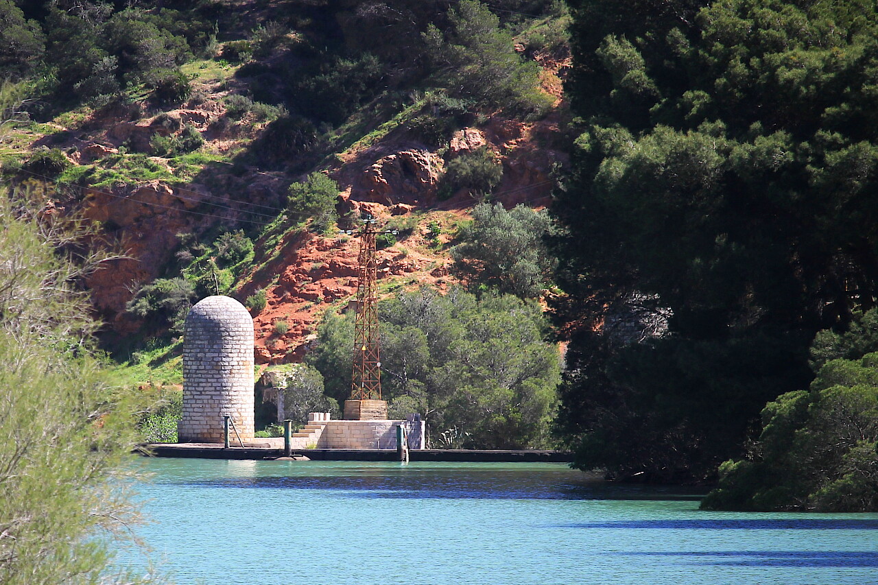
Behind it, the Desfiladero de los Gaitanes Gorge begins, along which the amazing Caminito del Rey hiking trail passes.
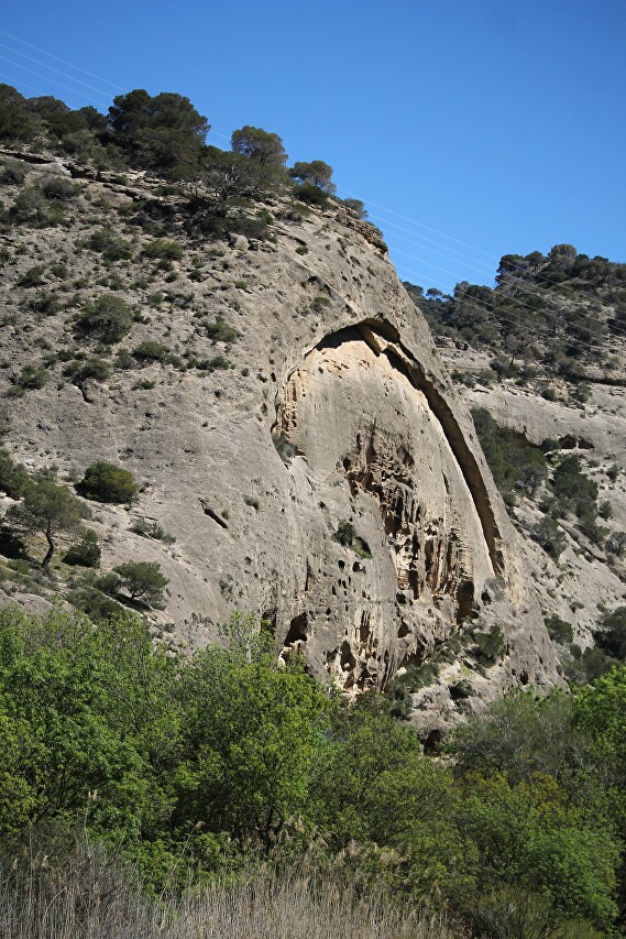
Closer to the gorge, the banks of the reservoir are becoming steeper.
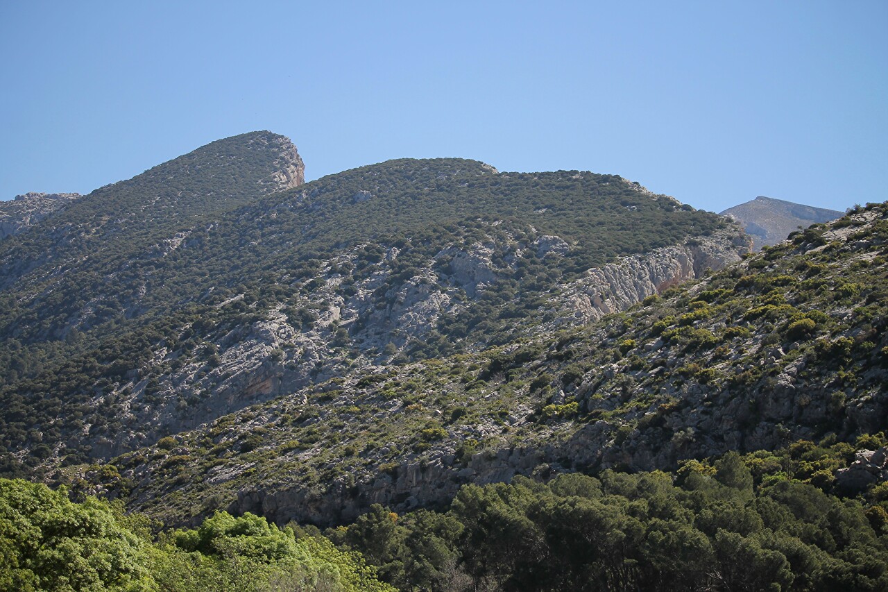
To the east, you can see the smooth peaks of the Finca El Manco range.
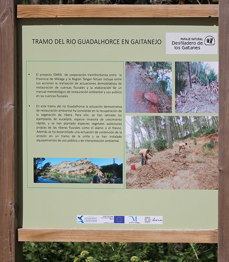
There are information posters along the trail. This booth highlights the implementation of the IDARA project to restore natural coastal vegetation. Here, fast-growing eucalyptus trees were removed and native species of plants native to river banks, such as poplar or ash, were planted. In addition, work is underway to reduce coastal erosion. This is a collaboration between the province of Malaga and Morocco's Tangier and Tetouan.
About half a kilometer from the dam, there is a small recreation area (on the map).
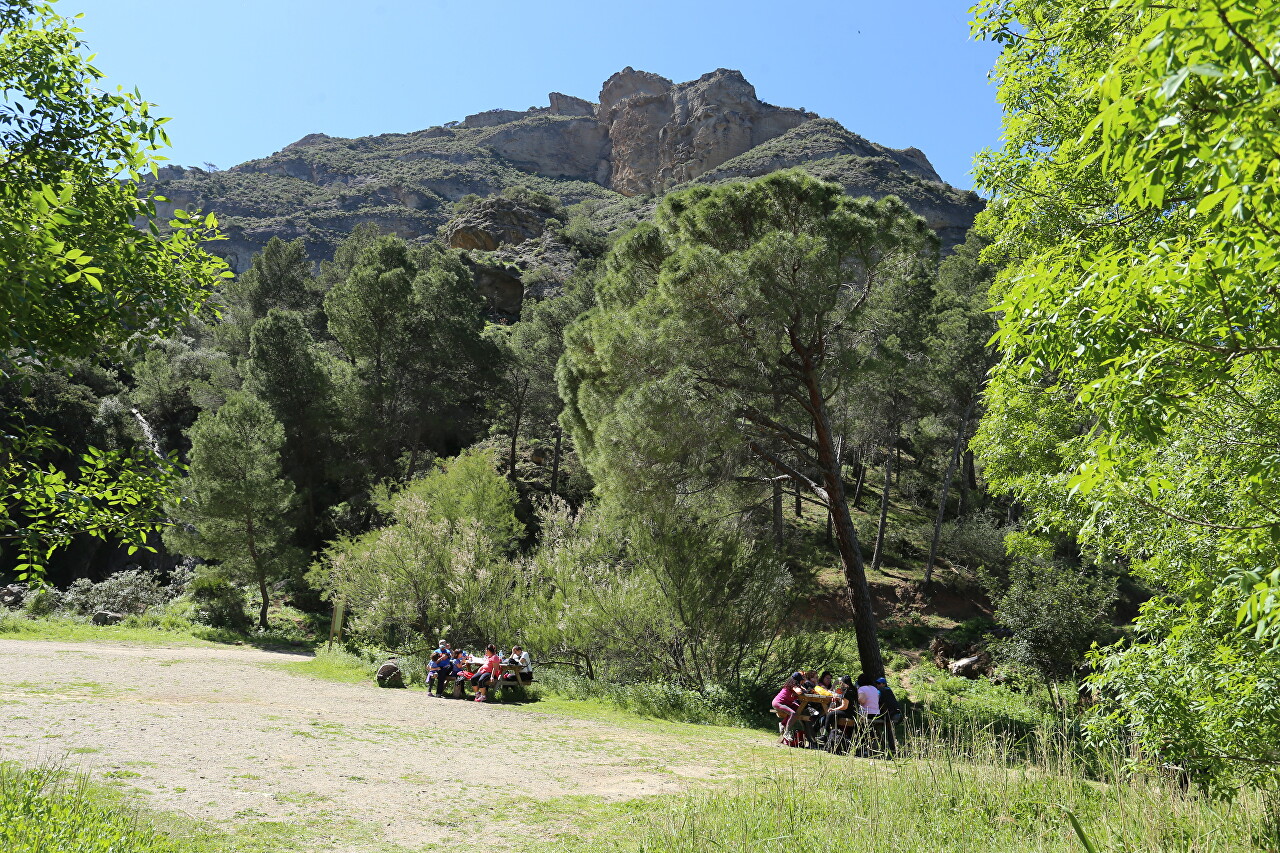
Today is a day off and the tables are densely occupied by family companies.
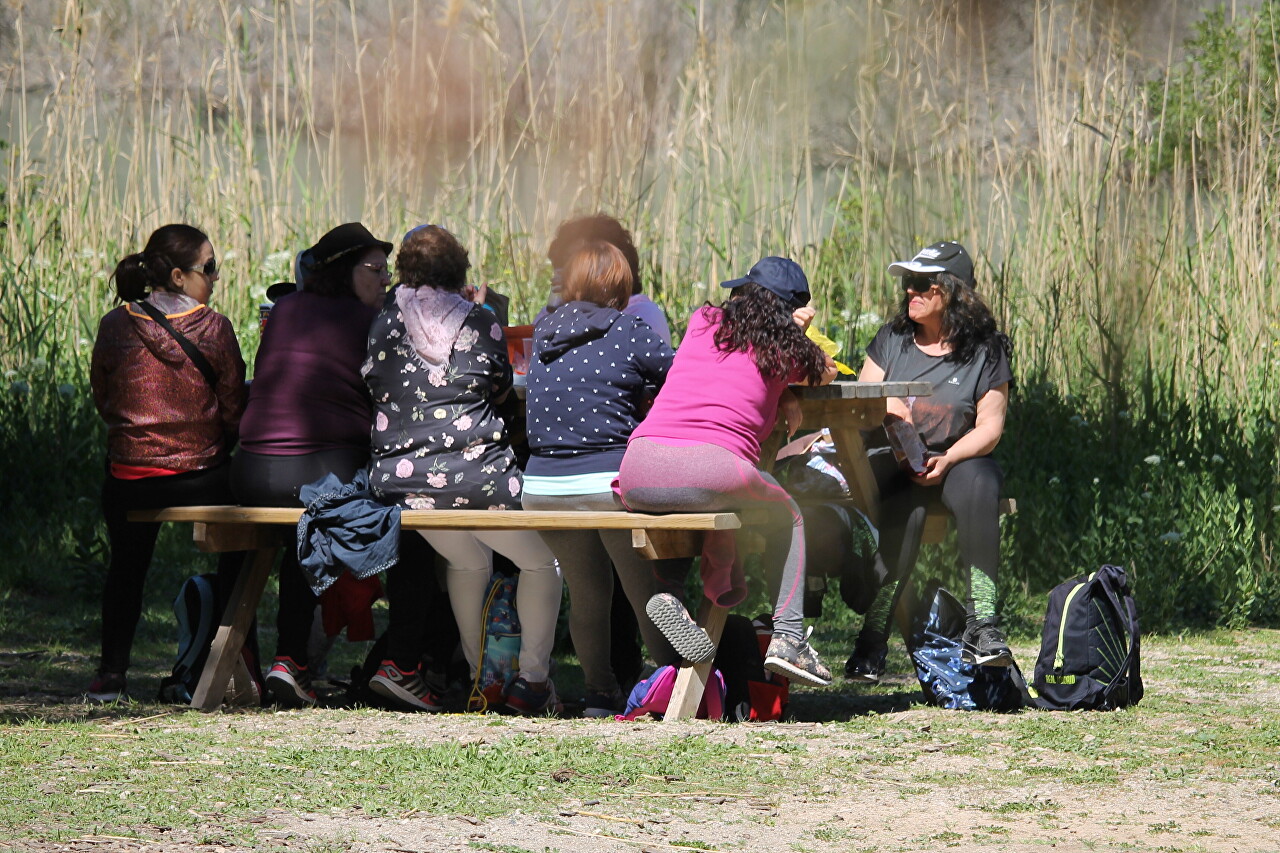
This is a good place to grab a bite to eat before starting the main part of the route.
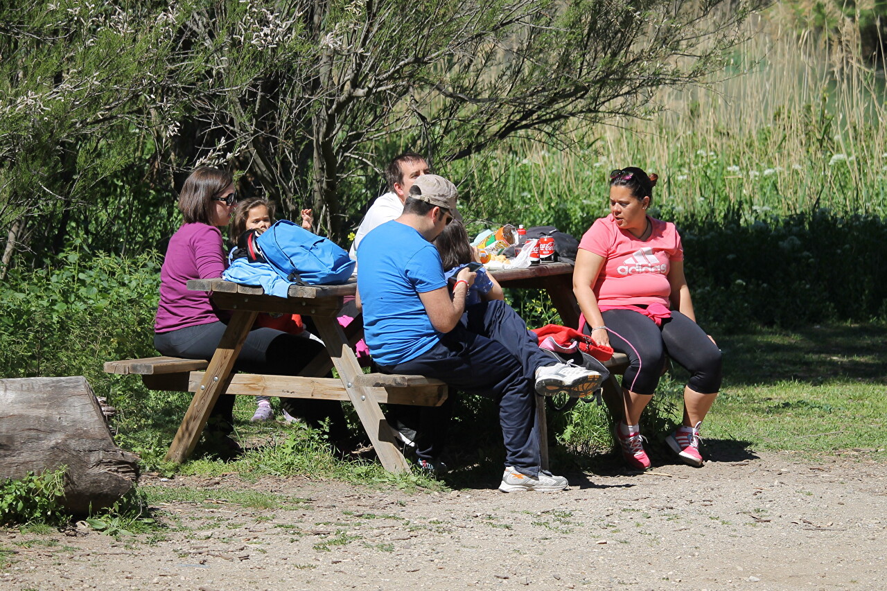
And just sit in silence by the coastal thickets.

I didn't have time to rest anymore, as the time indicated in my booking was approaching, where it was recommended to arrive 10 minutes earlier, so I hurried on.
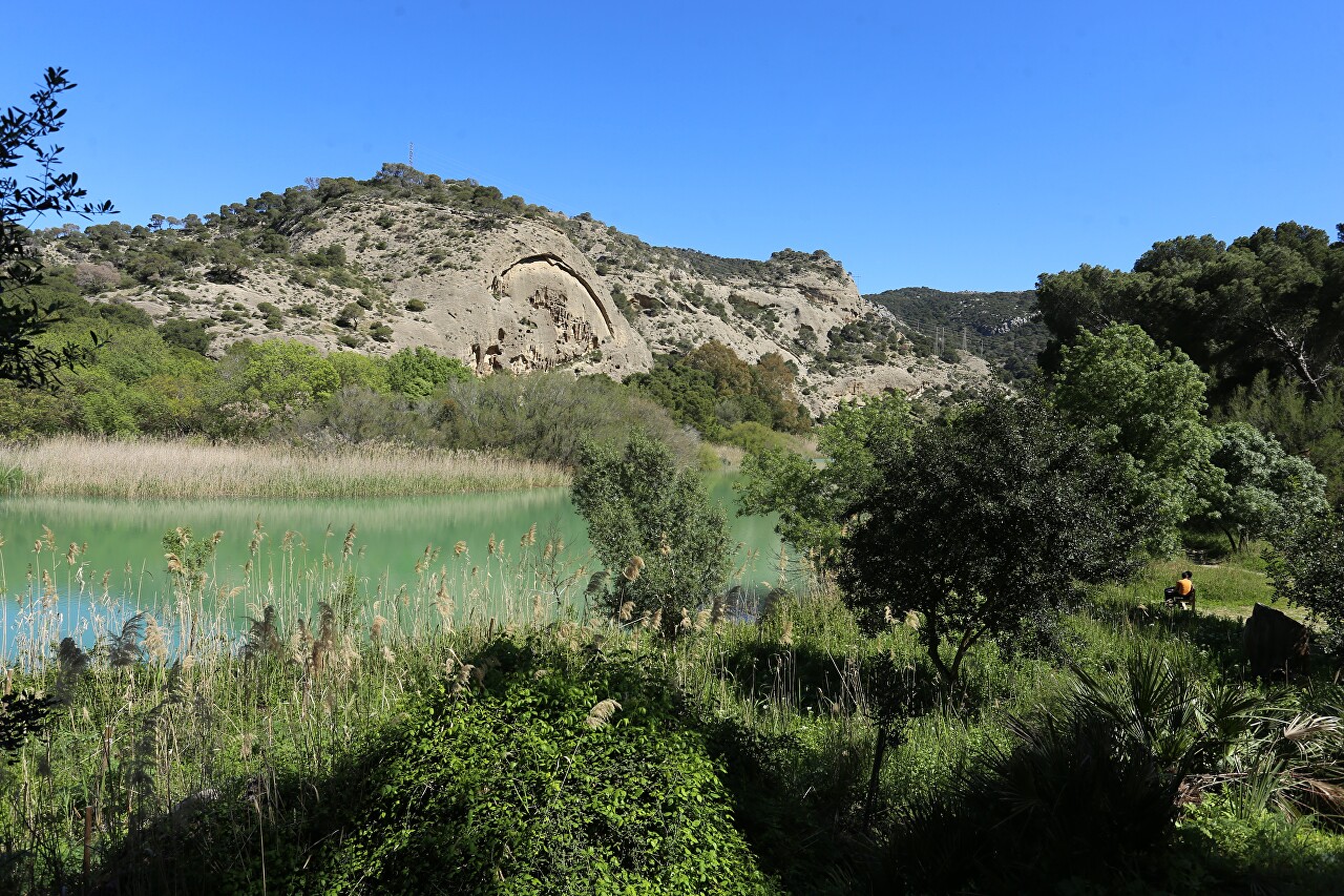
But I still had to linger - how can you pass by such a miracle of nature?

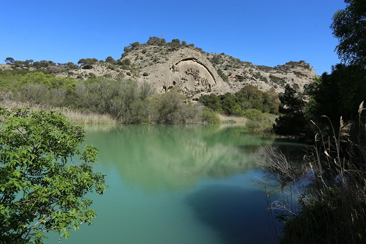
The geology of this area is one of the most interesting in the province of Malaga. The gorge and surrounding mountains were formed as a result of the convergence of the African and Iberian continental plates, which led to the deformation of geological layers.
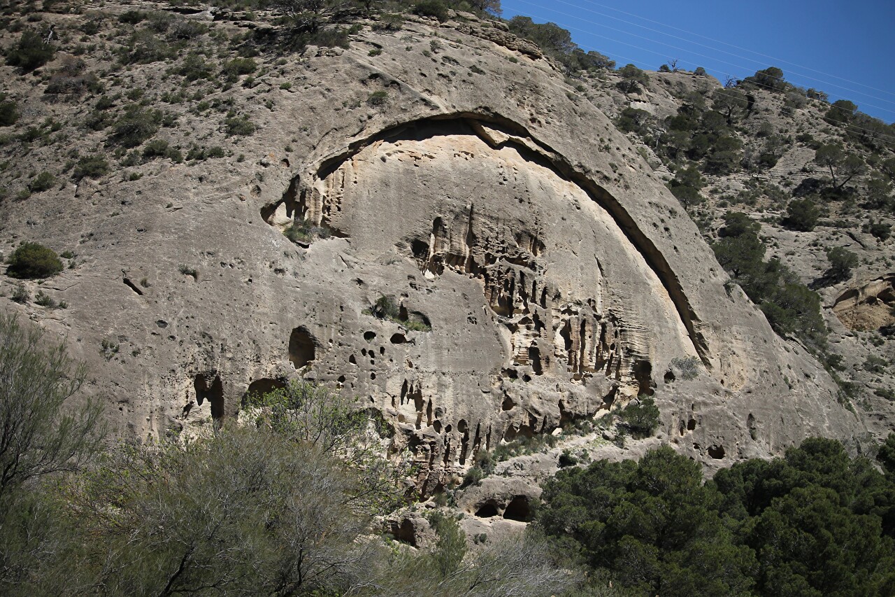
And the wind and water created bizarre reliefs on them.
