Kirovgrad Сopper Mines: Old and New Yezhovsky
In 2004-2016, archaeological surveys were conducted in the vicinity of the village of Neivo-Rudyanka in the Kirovgrad district of the Sverdlovsk region, as a result of which traces of a settlement dating back to the third millennium BC were discovered. During the excavations, archaeologists found objects made of bronze and copper-knives, arrowheads, jewelry, dishes. Since this area is rich in copper deposits, the hypothesis arose that the ancient inhabitants of these places had the art of metallurgy and these objects were made from local ore. Until recently, it was not possible to verify this assumption, until scientists developed a method for determining the origin of metal from lead isotopes, the content of which is unique for each deposit and remains unchanged during metallurgical processing. In the summer of 2021, a mini-expedition was organized, which was attended by geologists of the All-Russian Scientific Research Geological Institute named after A. P. Karpinsky (St. Petersburg) Anatoly Aleksandrovich Ustinov and Professor of the Department of Archeology of the Ural Federal University Olga Nikolaevna Korochkova. Igor Vladimirovich Brazhnikov, Chairman of the Kirovgrad City Council of Veterans, was very helpful in organizing this event.
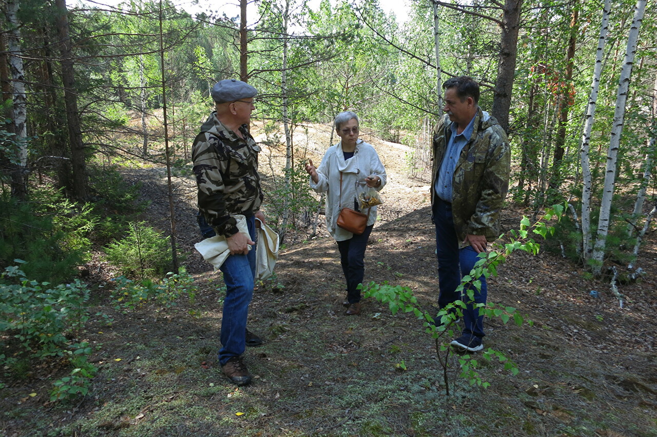
Our guide was Galina Ivanovna Ryaposova, who worked as a geologist at the Novo-Yezhovsky and Lomovsky mines. To be honest, before I met her, I thought that women are not allowed in underground workings, the work there is hard and dangerous, not every man can do it. So the work biography of Galina Ivanovna causes great respect.
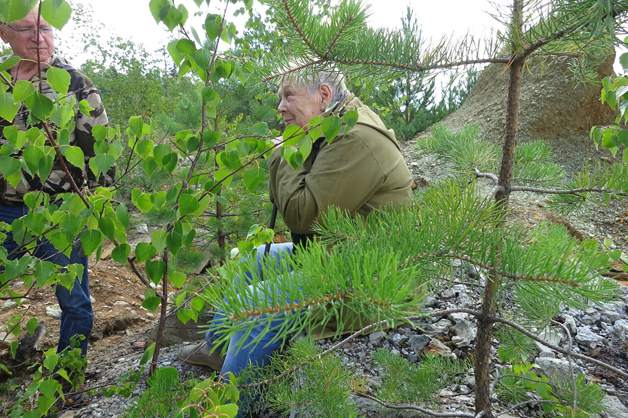
Our expedition started near the village of Yezhovsky, which is located on the Kirovgrad-Levikha road. First of all, Galina Ivanovna took us to the oldest known pit located on the territory of the Novo-Ezhovsky mine (57°26 '10.3" N 59°57 '16.8" E). She said that there were documents at the mine, according to which the work was carried out here in 1862.
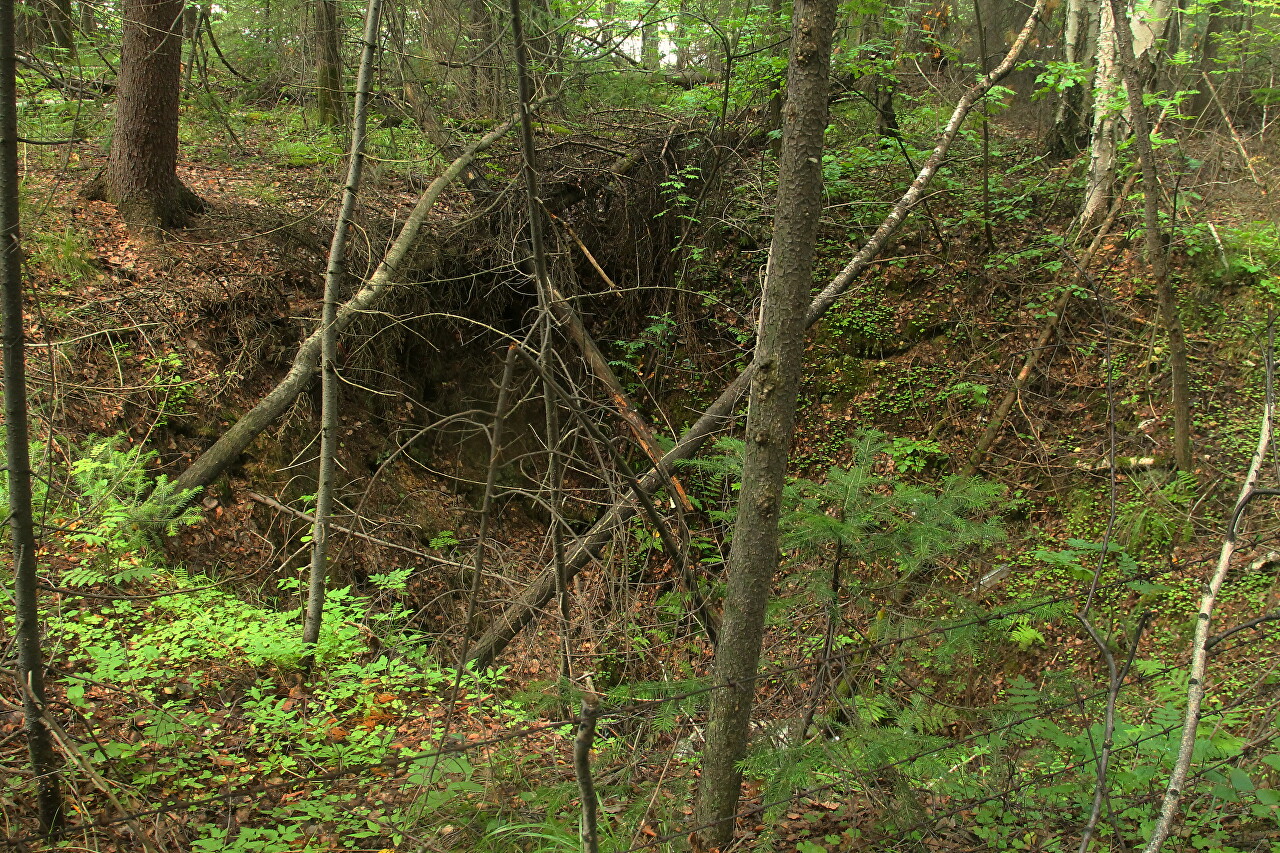
The mine belonged to Nadezhda Alekseevna Stenbock-Fermor, the heiress of Savva Yakovlev, who owned almost the entire mining industry of the Urals from the end of the 18th century.
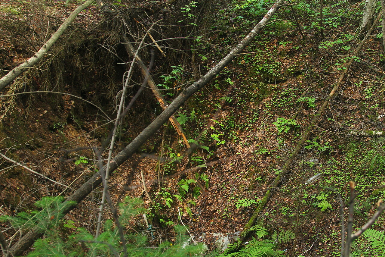
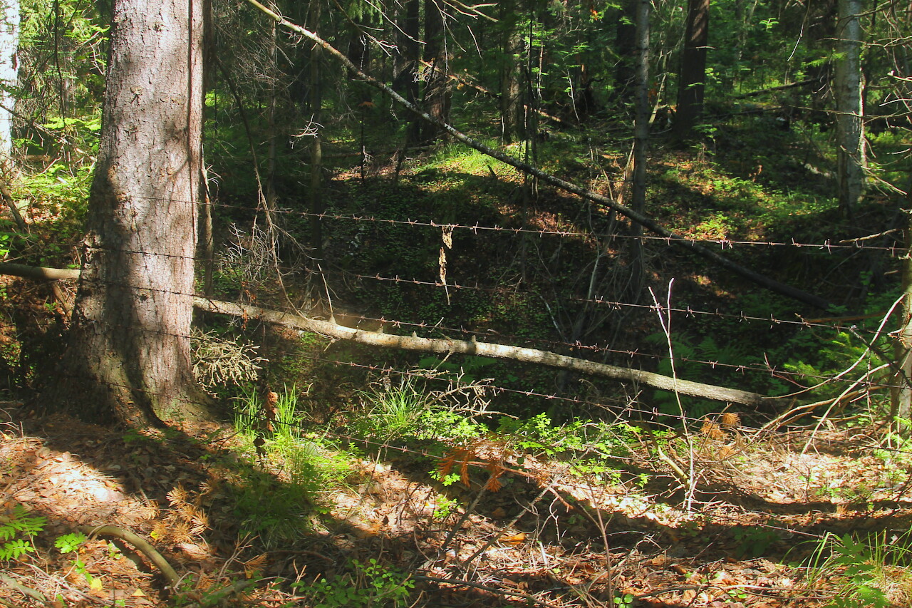
The sinkhole is shallow and not scary in appearance, but it is very dangerous to go down into it, it is fenced with barbed wire. The coordinates of this place are (57°26 '10.3" N 59°57 '16.8" E). The reference point on the road is a culvert.
Then we went to the other side of the road, where the Ezhovsky mine dumps are located (57°26 '12.9" N 59°57 '07.5" E).
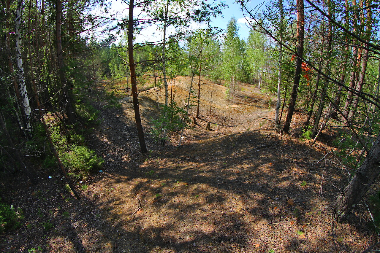
This is one of the oldest copper copies of the Kirovgradsky district, or, as it used to be called, "Verkh-Neivinsky dacha".
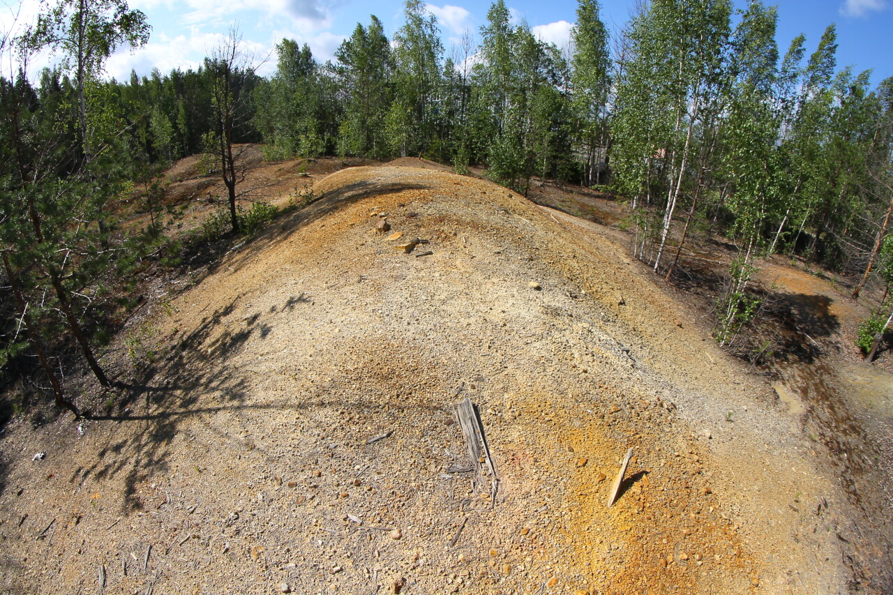
Work here began in 1816 and was carried out with varying success for about 20 years. Several shafts with a depth of up to 60 fathoms (90 meters) were passed, the ores were poor, and the influx of water caused great difficulties. In 1847, the underground work was completely stopped due to the loss of the ore body.
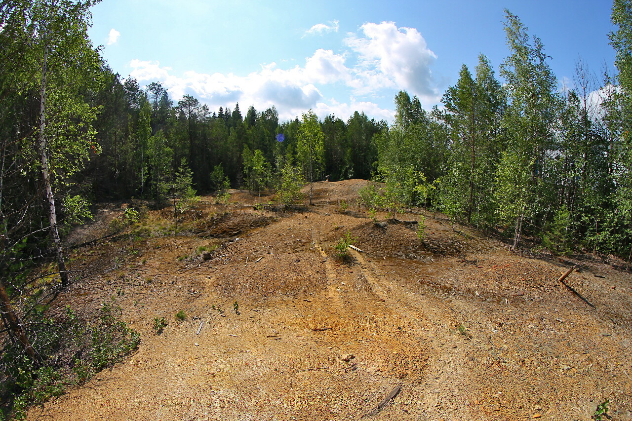
At the beginning of the 20th century, the mine was restored, but after the water burst, work was stopped again until 1914. In 1917, for certain reasons, the mine was abandoned again, this time forever.
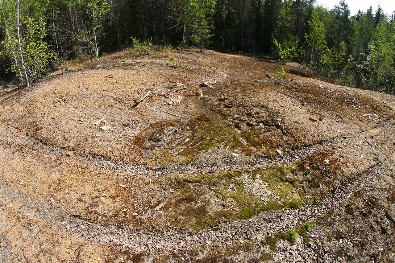
These mounds were formed during repeated flushing of landfills in the 30s of the 19th century, so the chance of finding something here was small.
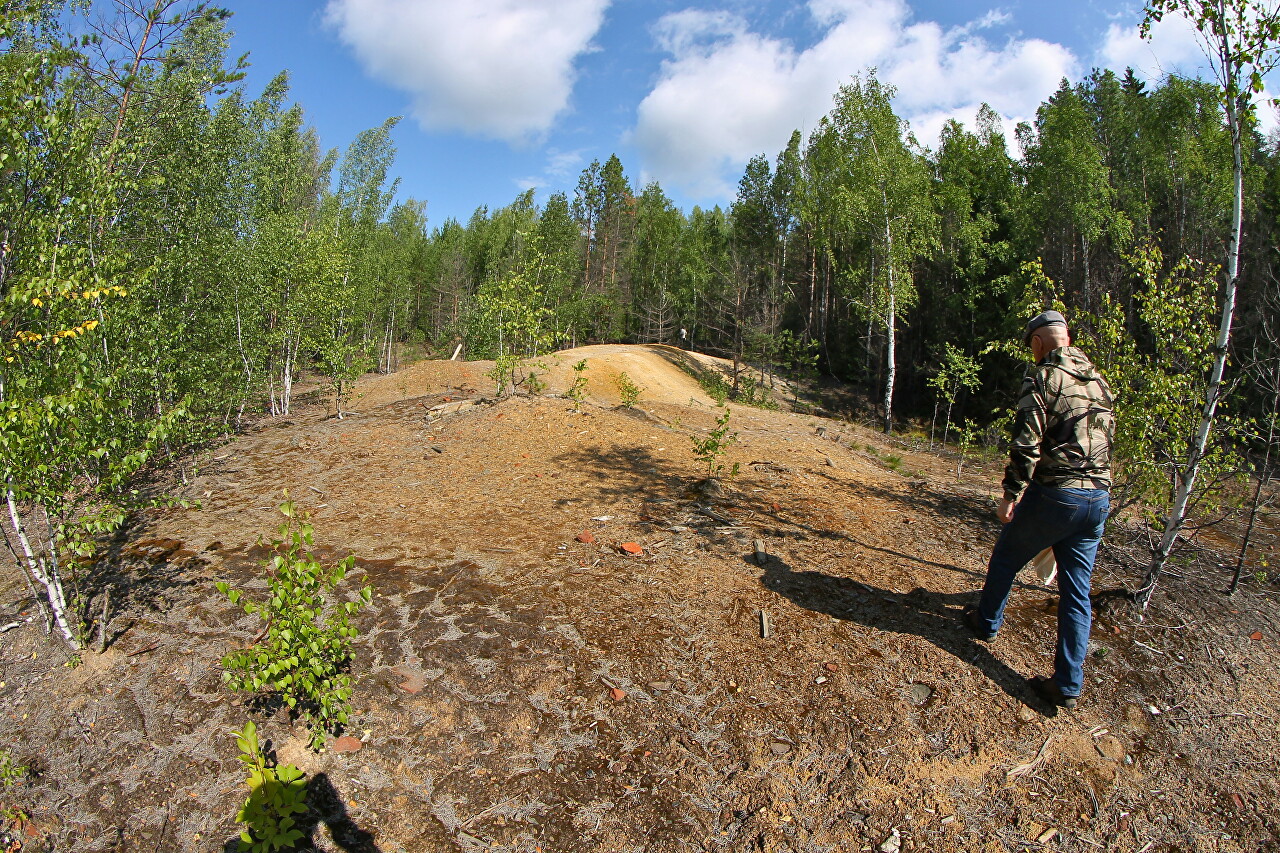
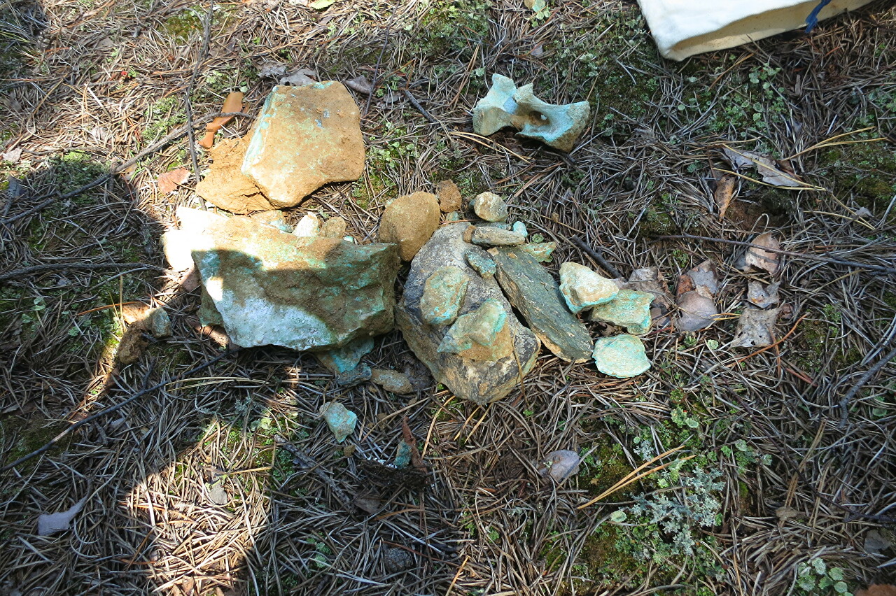
However, Anatoly Alexandrovich found several images with characteristic green veins indicating the presence of copper. A green coating also covered the vertebra of a large animal, which somehow ended up in the dump.
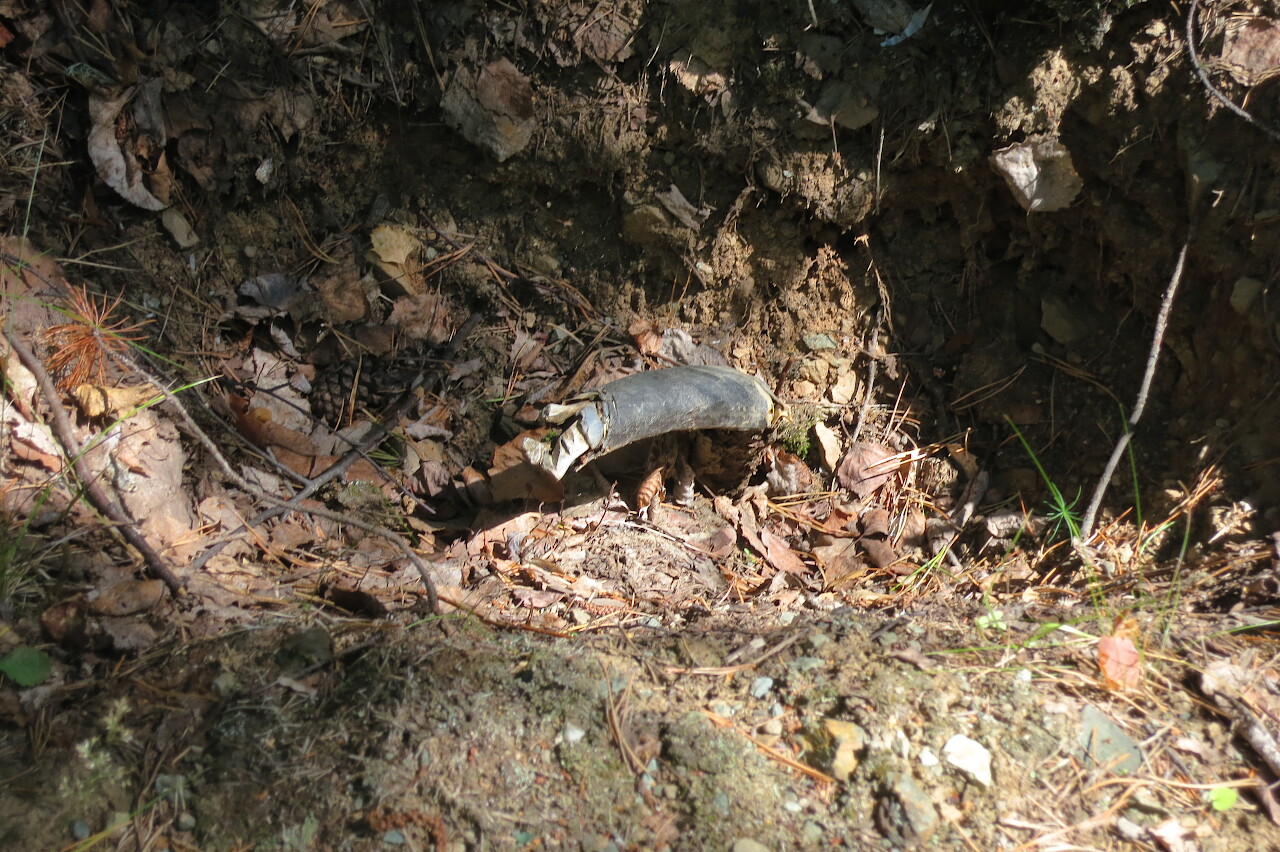
Then we return to the territory of the Novo-Ezhovsky mine, where the forest road along the gas pipeline leads. Surprisingly, in one place on the roadside in a small hole in the ground sticking out of the plugged power cable.
We reach the sand embankments (57°26 '26.3" N 59°57 '14.6" E), which was used to seal the waste underground spaces to avoid collapse.
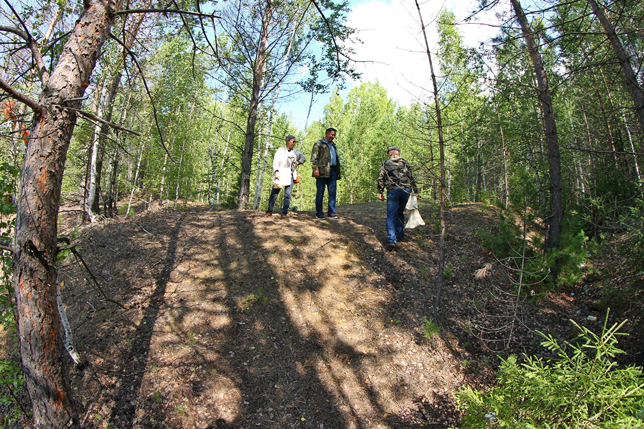
However, the collapse still occurred in February 1976, Galina Ivanovna leads us to the sinkhole along a heavily overgrown road known only to her. I give the coordinates (57°26 '30.5" N 59°57'15.6" E), but I do not recommend anyone to repeat our route, as this is also a collapse zone, and the slightest deviation from the path is really dangerous. Previously, this area was surrounded by a thorn with warning signs, but now, of course, there is nothing.
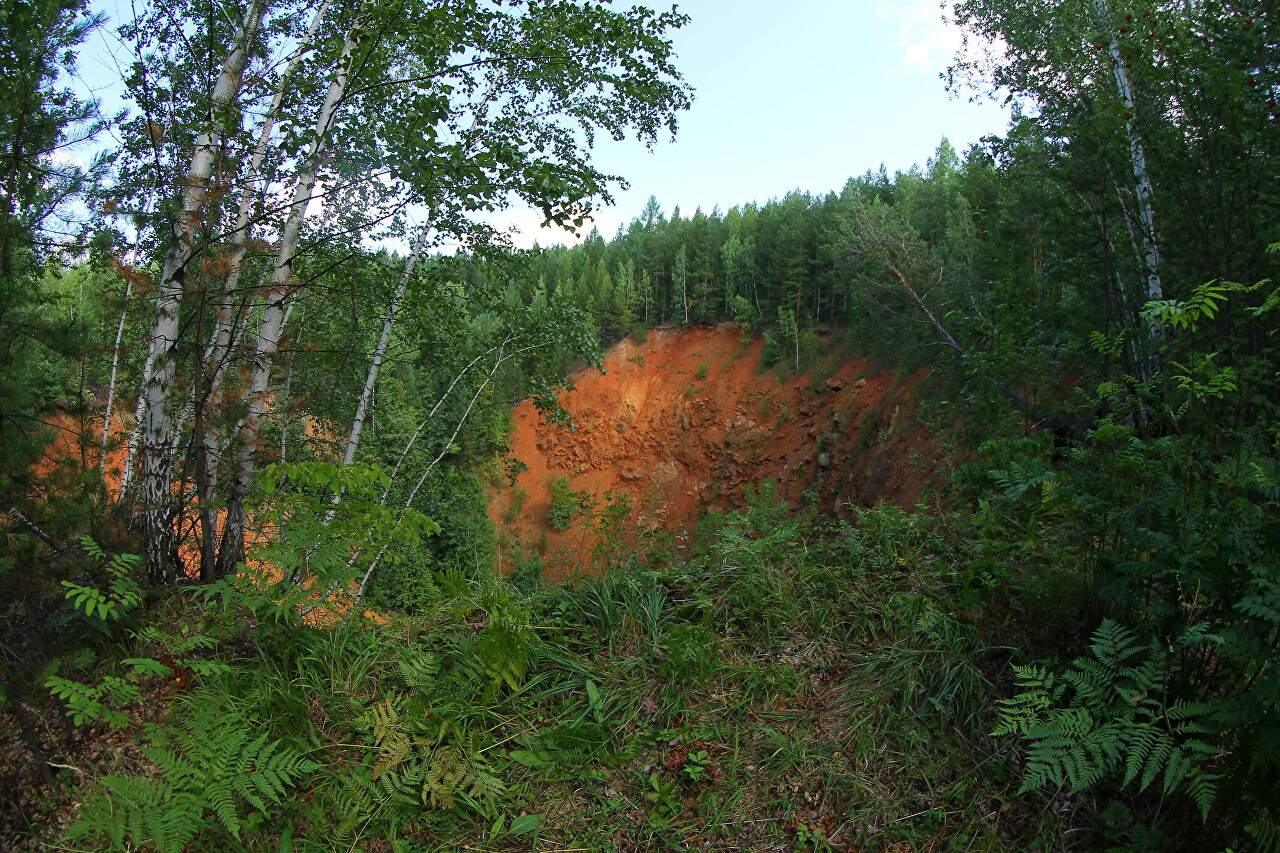
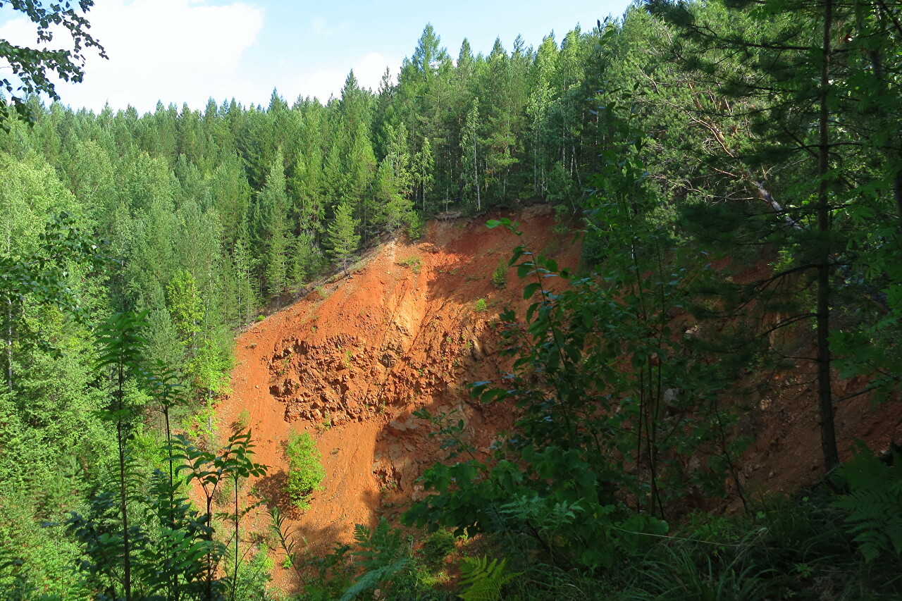
What specific horizon was formed is unknown, by that time the work was carried out on the horizon of 220 meters, horizons up to 170 were worked out. Galina Ivanovna recalls that at the time of the collapse, the ground vibrations were so strong that the trolleys flew off the rails. However, there were no injuries. Now the sinkhole has a diameter of about 70 meters and a depth of up to 50, and almost sheer walls that continue to crumble. A hundred meters up the slope of Mount Yezhovaya is another dip (57°26 ' 40.1"N 59°57'17.7"E). It was also formed as a result of this collapse, this is one workout, only not all of its arch collapsed. Next to that sinkhole is a bike trial track from the top of the mountain, although the place is also considered dangerous. Workings depart from the main trunk for 650 meters, the ground above the workings gradually subsides, there is a step separation of the soil noticeable only to a specialist, which has reached almost the narrow-gauge line, and collapse is also quite likely.
The next object is the territory where the buildings of the Novo-Ezhovsky mine are located. Now there are only ruins here, only in the former building of the dining room there is a hotel of the Velvet ski complex.
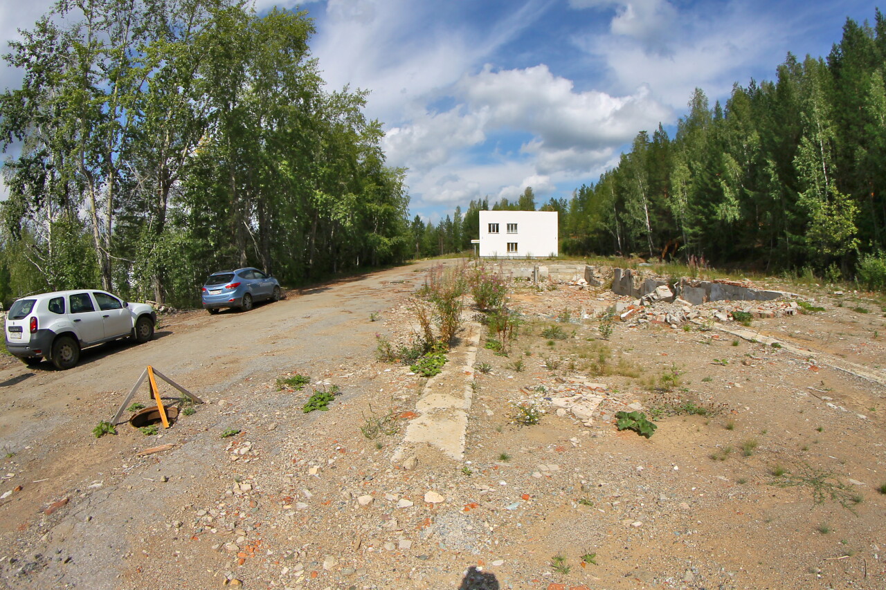
Only one foundation remains of the two-story administrative building. Last year, the building was still standing. There were changing rooms, showers, a health center, offices of administrative and engineering services.
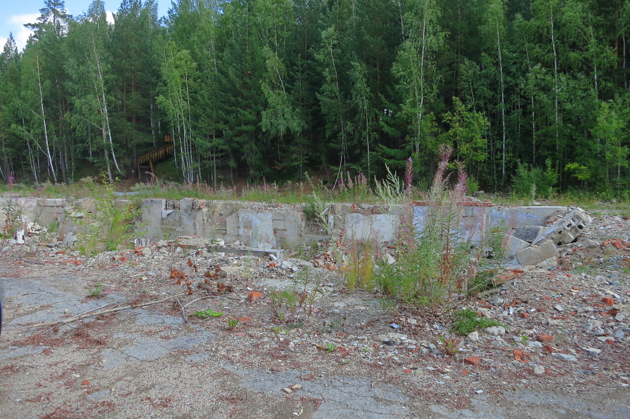
There is still a repair shop next to the ABK foundation.
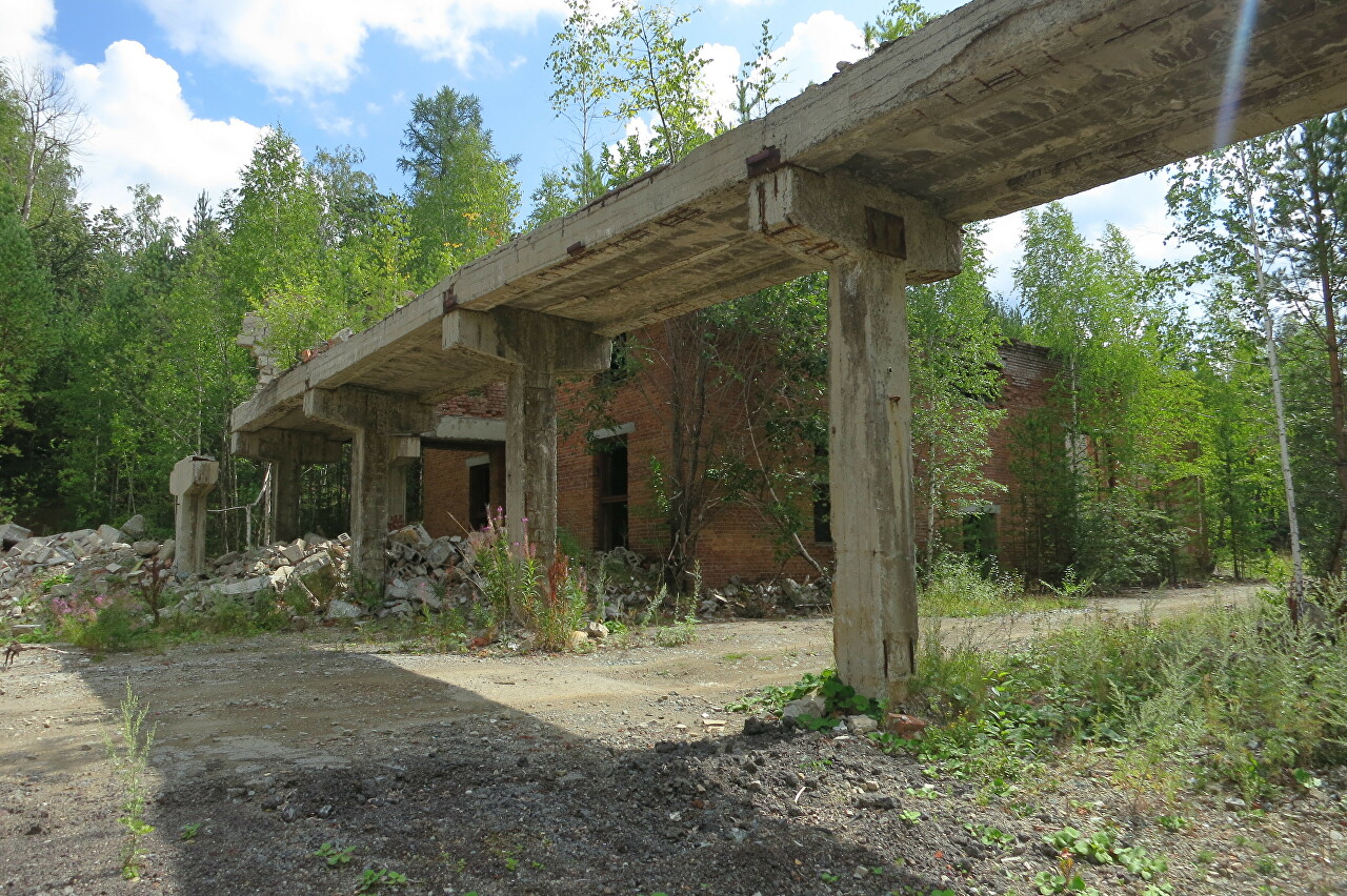
An over-shaft building, directly in it was the entrance to the shaft shaft, in the upper part there was a koper with wheels of a lifting mechanism.
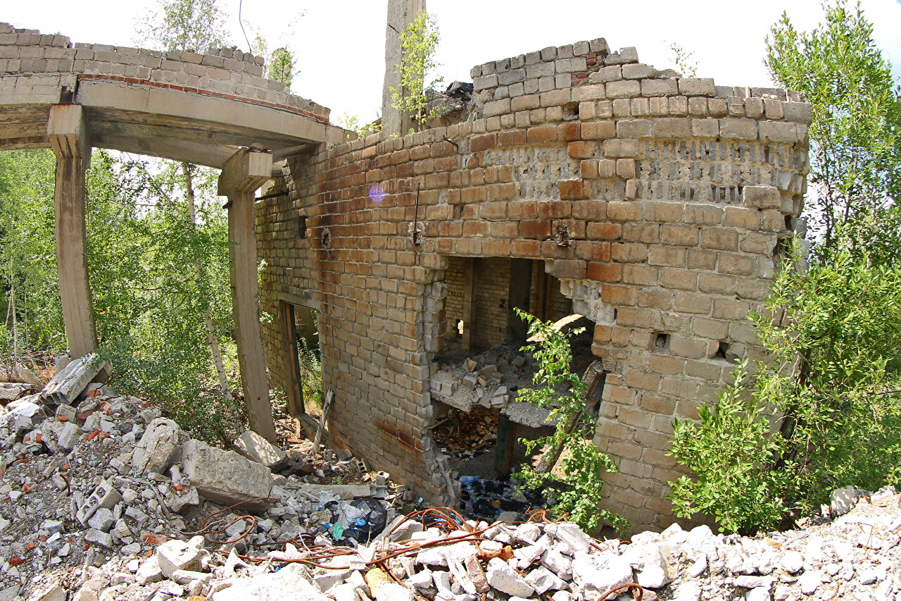
This is the most important structure of the mine, it is designed to perform operations related to the extraction of minerals from underground workings to the surface, its primary processing and initial transportation, as well as for lowering and lifting materials, equipment, and people.
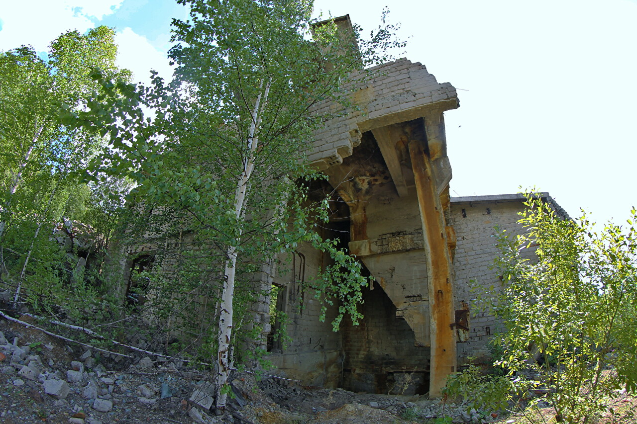
The shaft of the mine is covered with construction debris, although a few years ago it was opened and it was possible to descend into it with appropriate training.
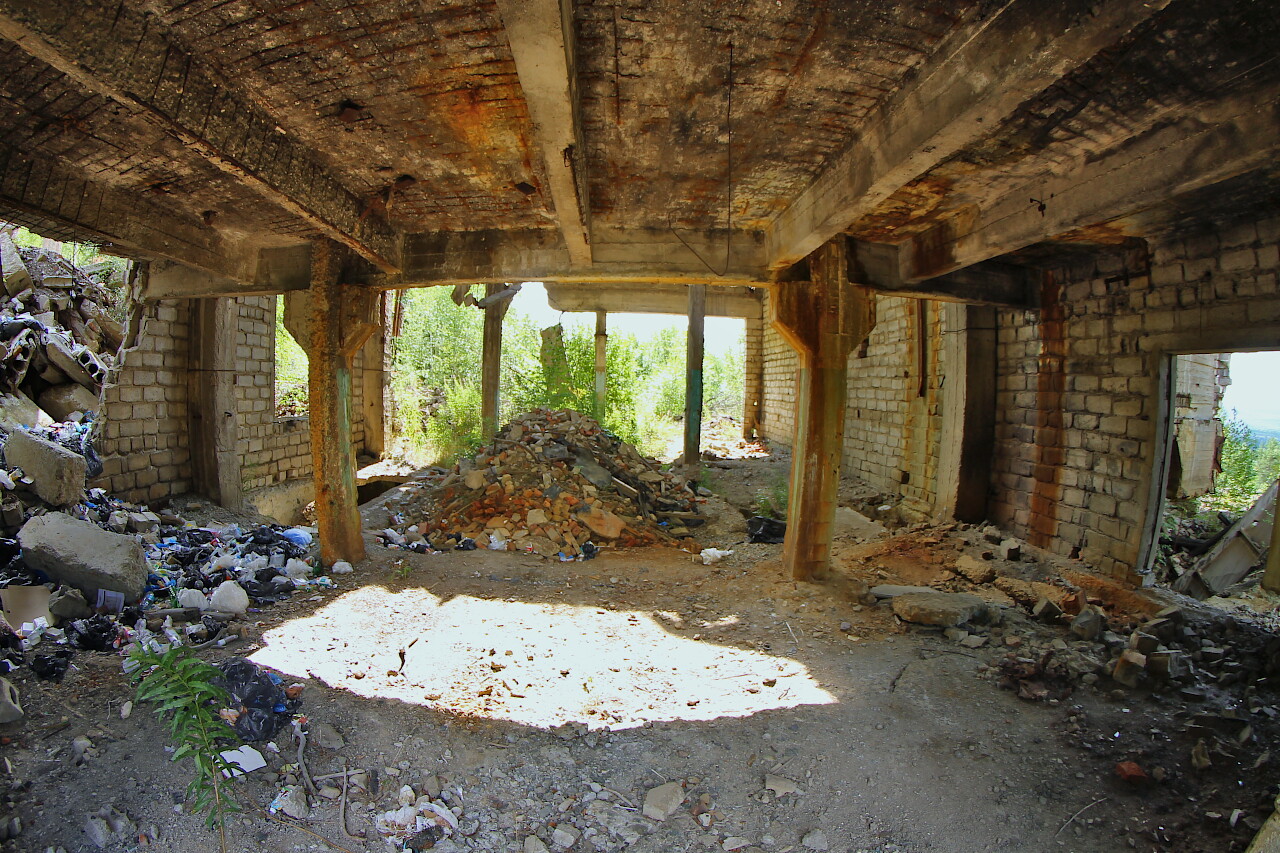
Now you can only look into the basement of the building, although this is not safe - the floors are in poor condition and something can fly from above.
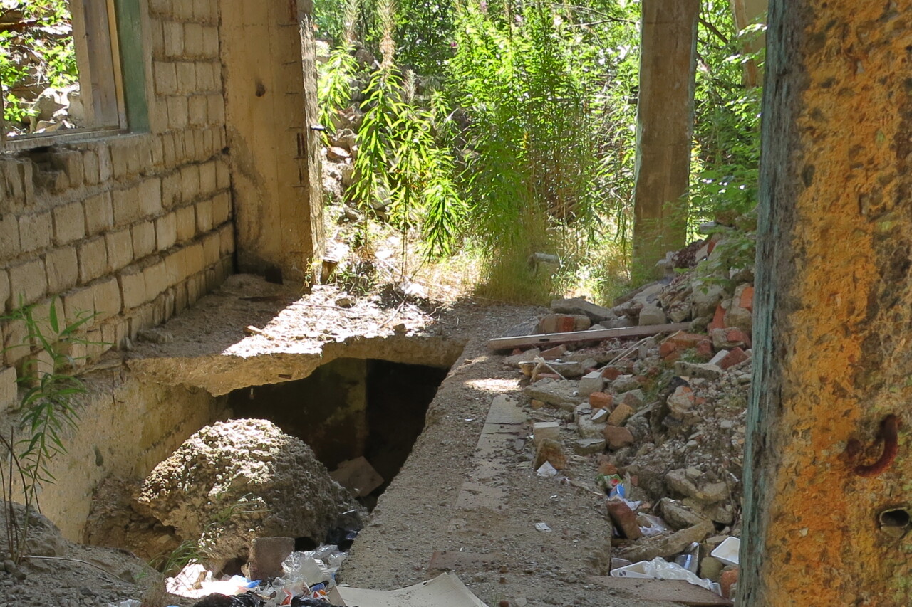
Around a pile of broken bricks and concrete.
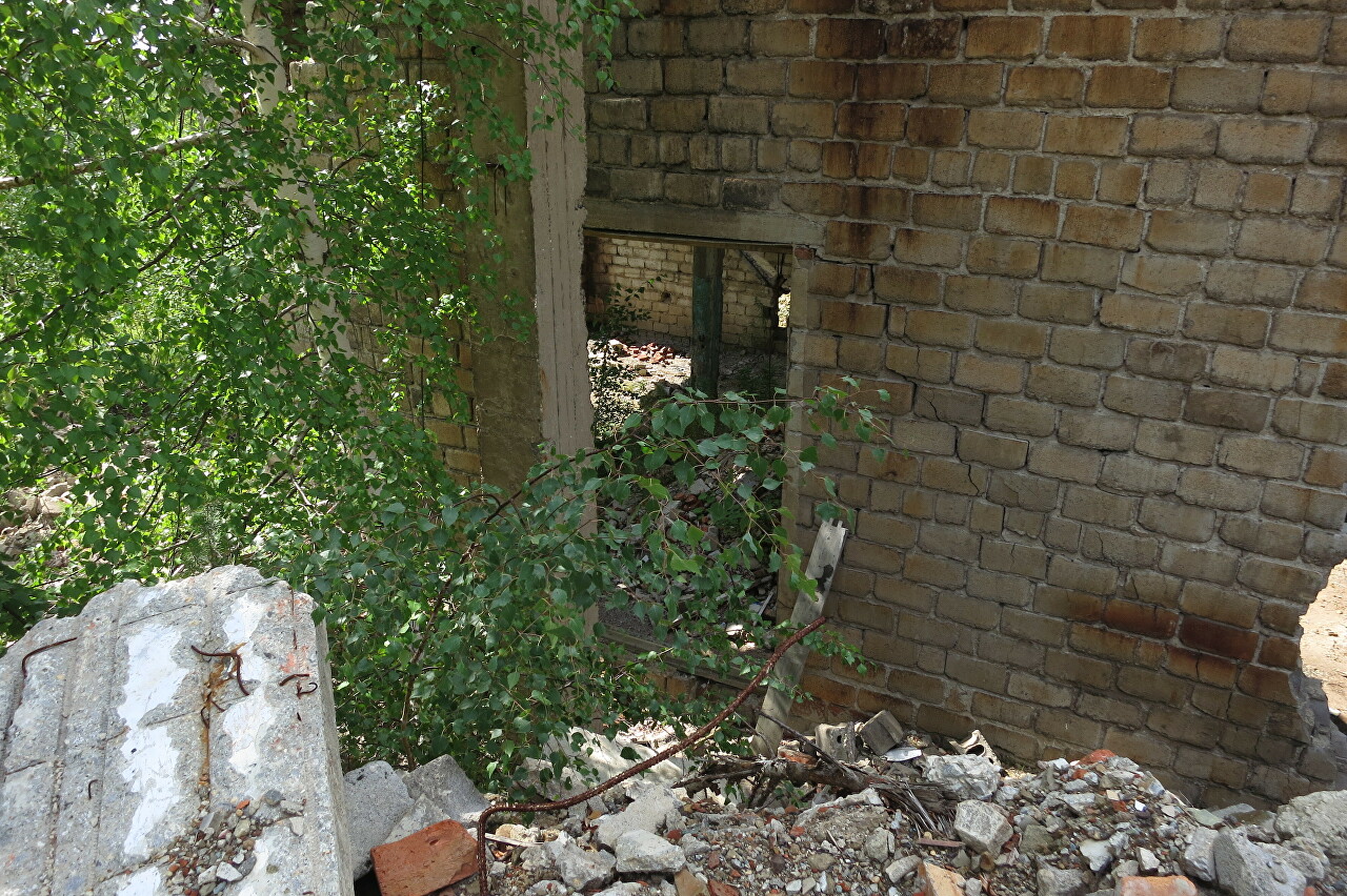
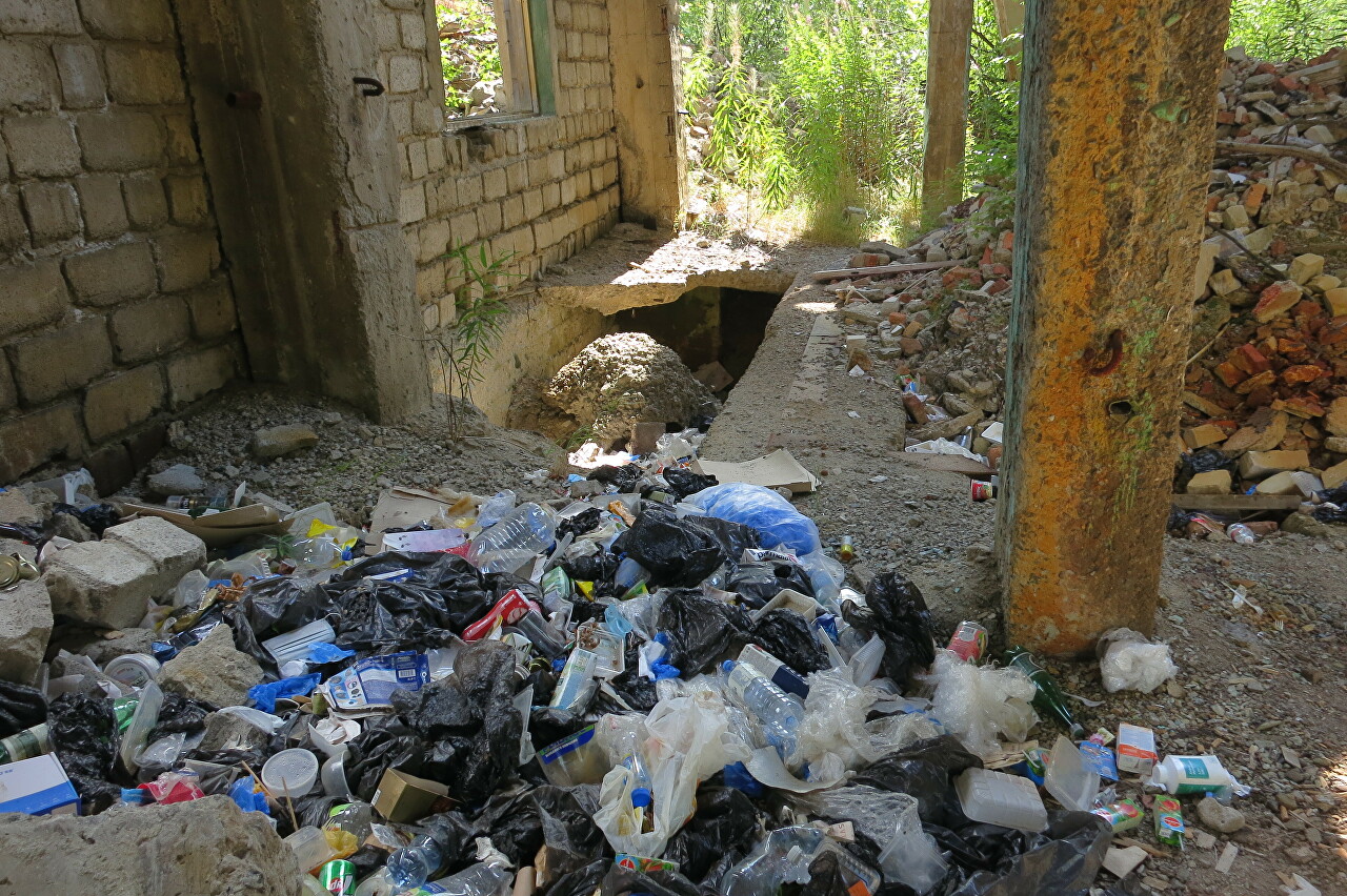
Inside there is a dump of household garbage.
A closed gallery on the overpass connected the administrative building with the mine office and repair shop. There was no need for workers to go outside from the locker room to their work stations.
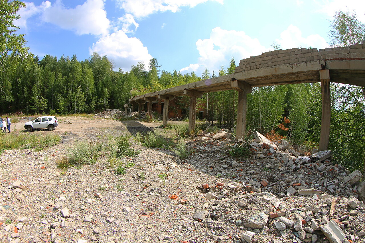
A well-preserved bunker was used for unloading trolleys with ore raised from the mine.
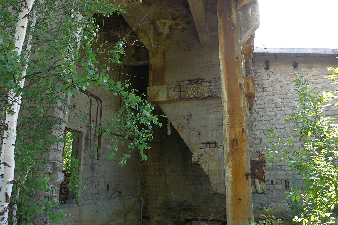
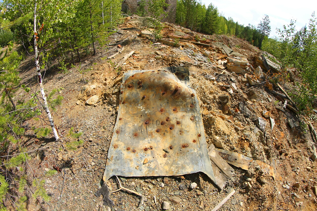
From the bunker, ore was fed along a conveyor belt to be loaded into dump cars of a narrow-gauge railway. A piece of such tape was found on a pile of rock.
The building of the engine room, where the lifting mechanism drive was located.
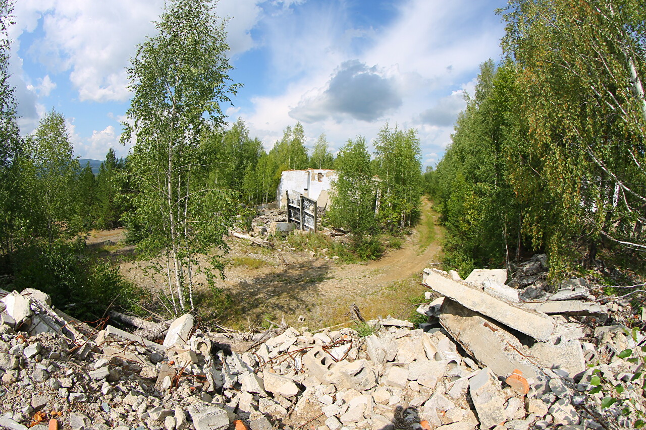
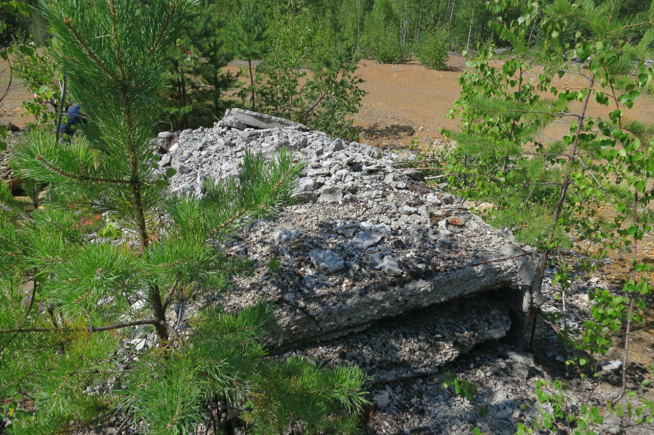
Here the ceilings have collapsed, the walls are still standing. The ruins are gradually demolished by the owners of the ski complex, using the material for filling the territory for construction.
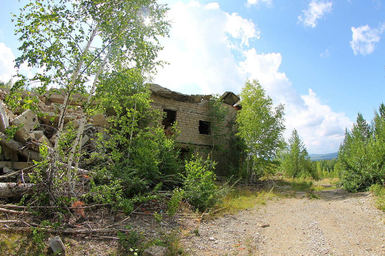
Metal hunters were clearly at work here, hammering away at slabs to extract rebar.
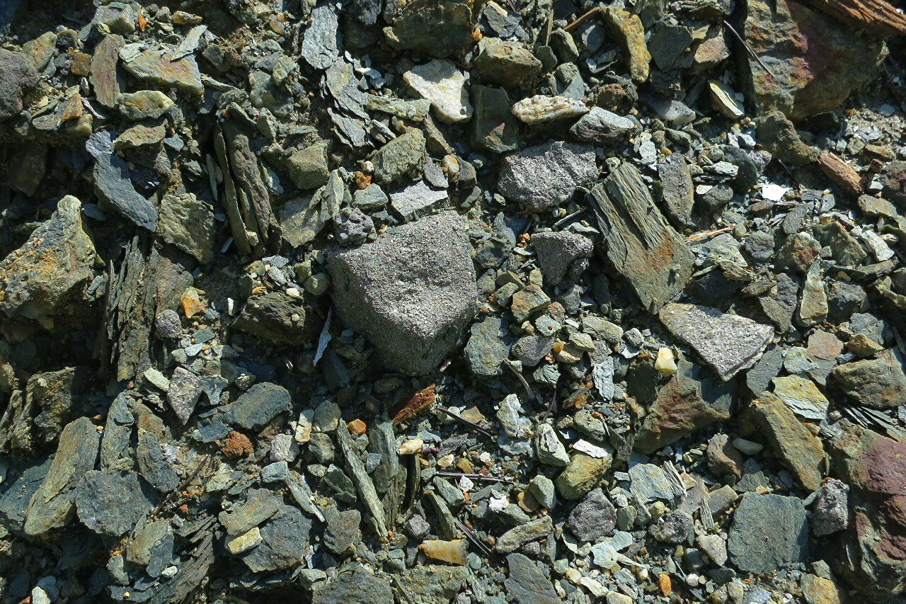
Next to the loading device of the railway, you can find pieces of ore that were transported to the processing plant of the Kirovgrad Copper Smelter.
The mine was opened in 1967 to the north of the spent Ezhovsky mine.
The ore zone was located almost in the center of Mount Yezhova, it went deep to 550 meters, extended in breadth to 650 meters.
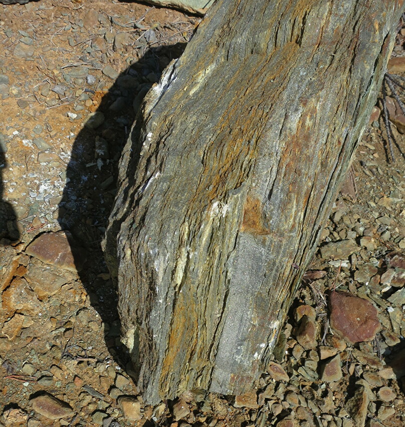
The deposit included three ore bodies from multi-grade sulfide ores, and three ore bodies from interspersed ores.
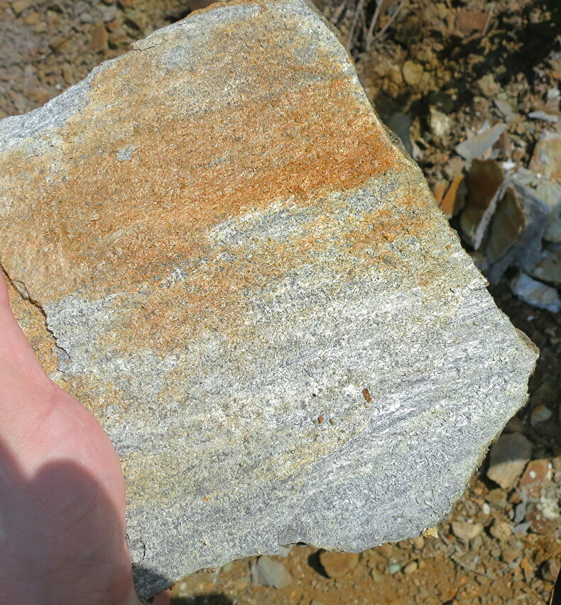
Copper reserves were estimated at 150 thousand tons. Sulfide ores and pyrites had a gold content of 10 to 12 grams per ton..
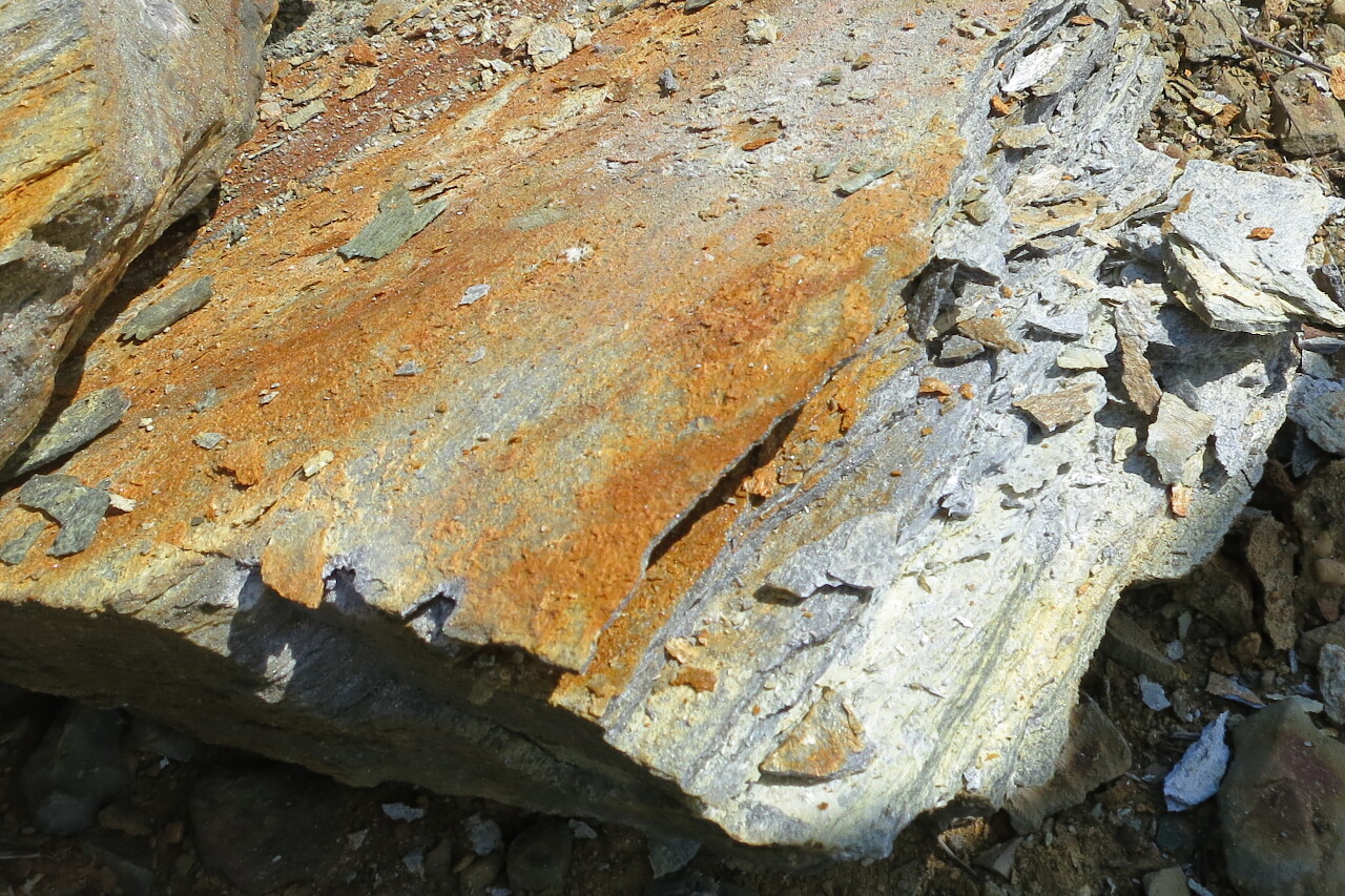
By the end of the 80s, the deposit was worked out and in 1991 the mine was closed.
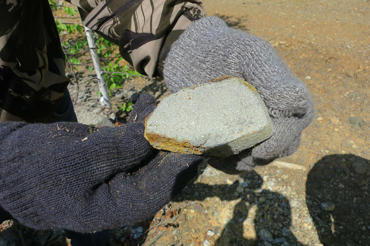
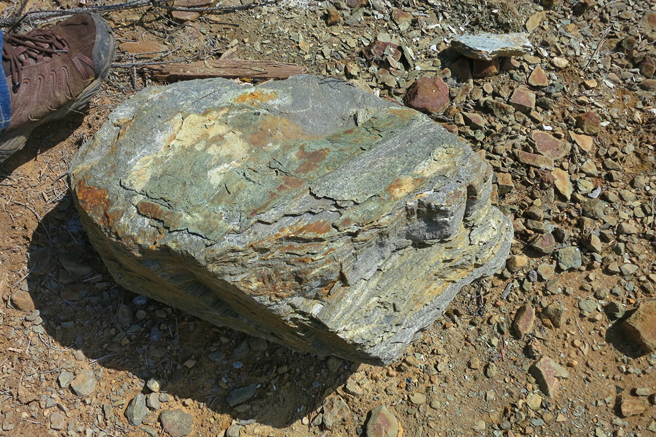
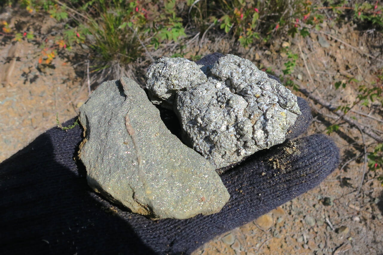
The ore has been lying on the surface for many years, the surface is oxidized and it is impossible to determine its value from its appearance. You need to take a bigger piece and split it, so the symbol of geology is a hammer. Today, Anatoly Alexandrovich for some reason did not take the tool, and we have to get to the inside of the samples in an affordable way.
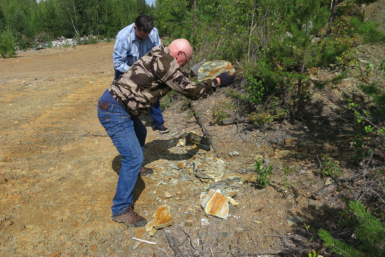
Despite the massiveness, pieces of rock are quite easy to split.
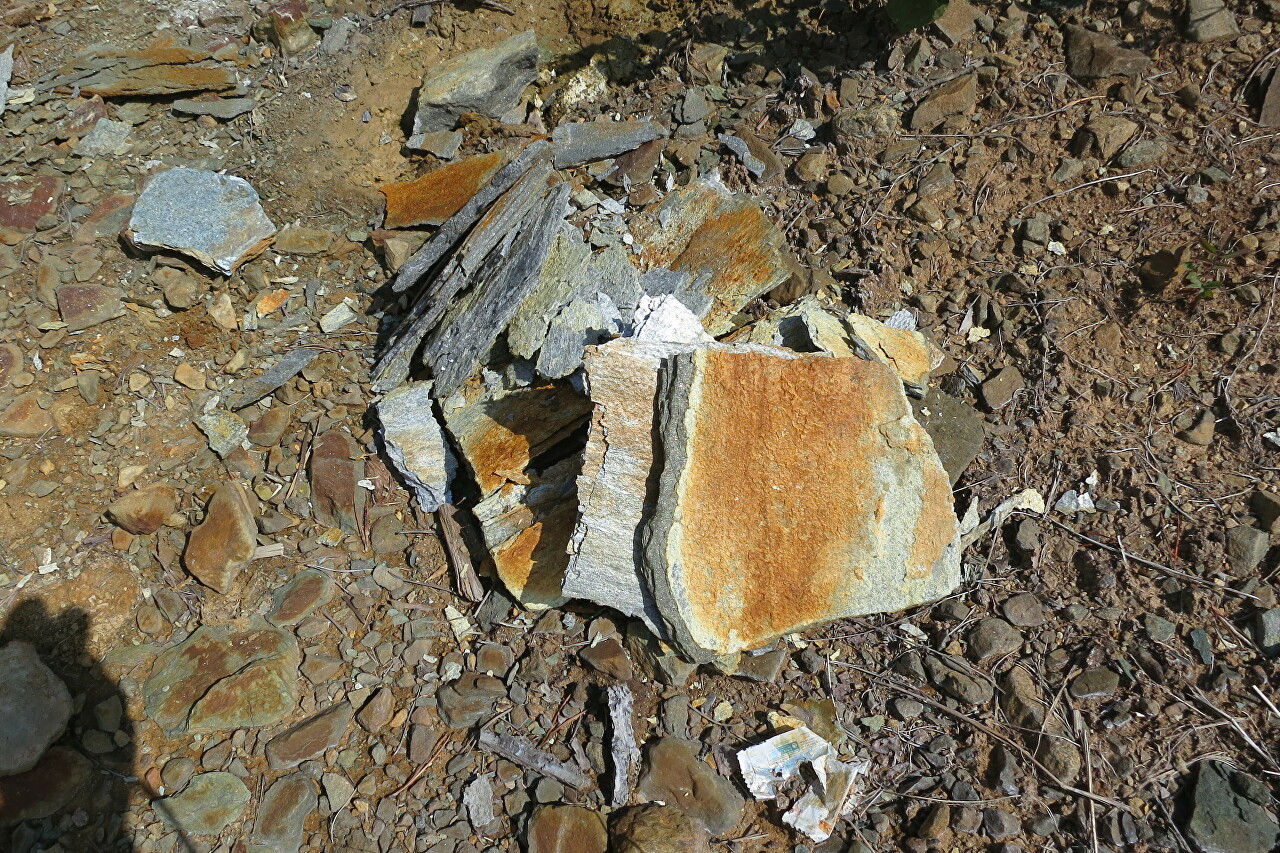
Chalcopyrite crystals glisten on the chip.
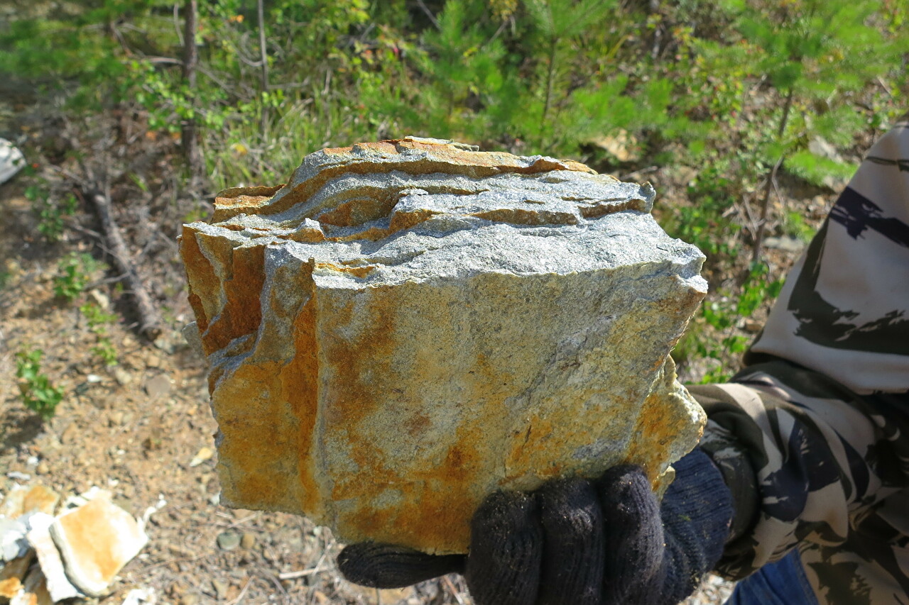
The layered structure is clearly visible.
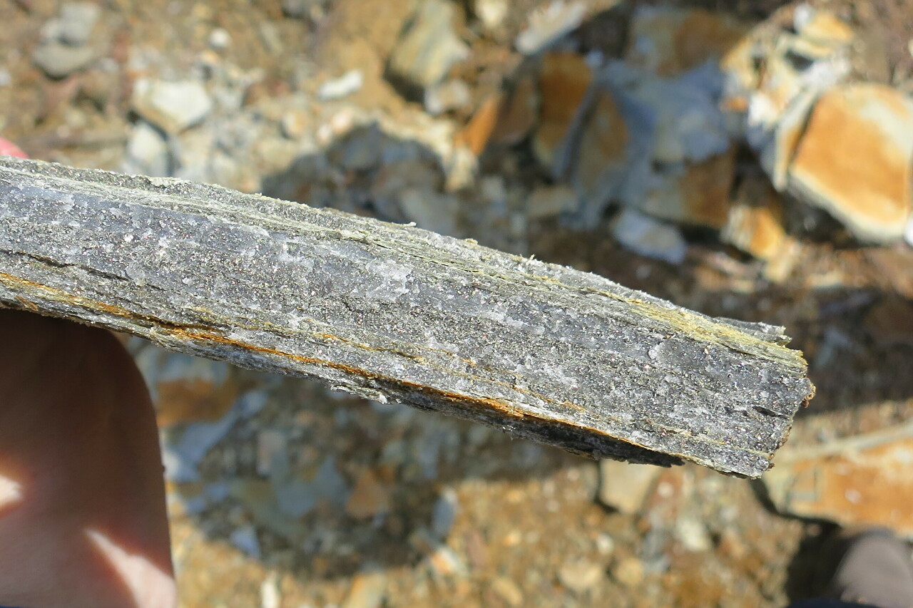
One of the samples contained a streak of quartz.
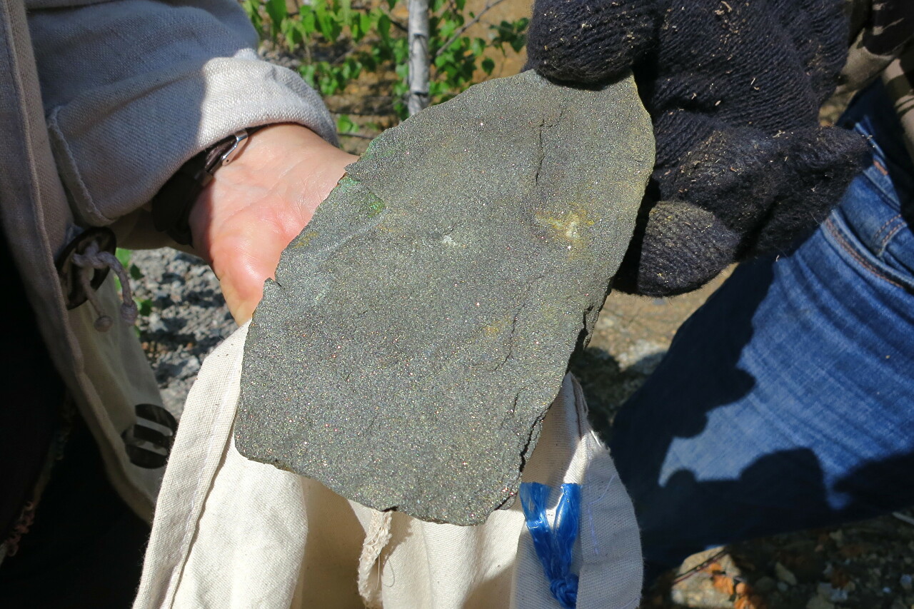
There was also a pebble with green inclusions of malachite.
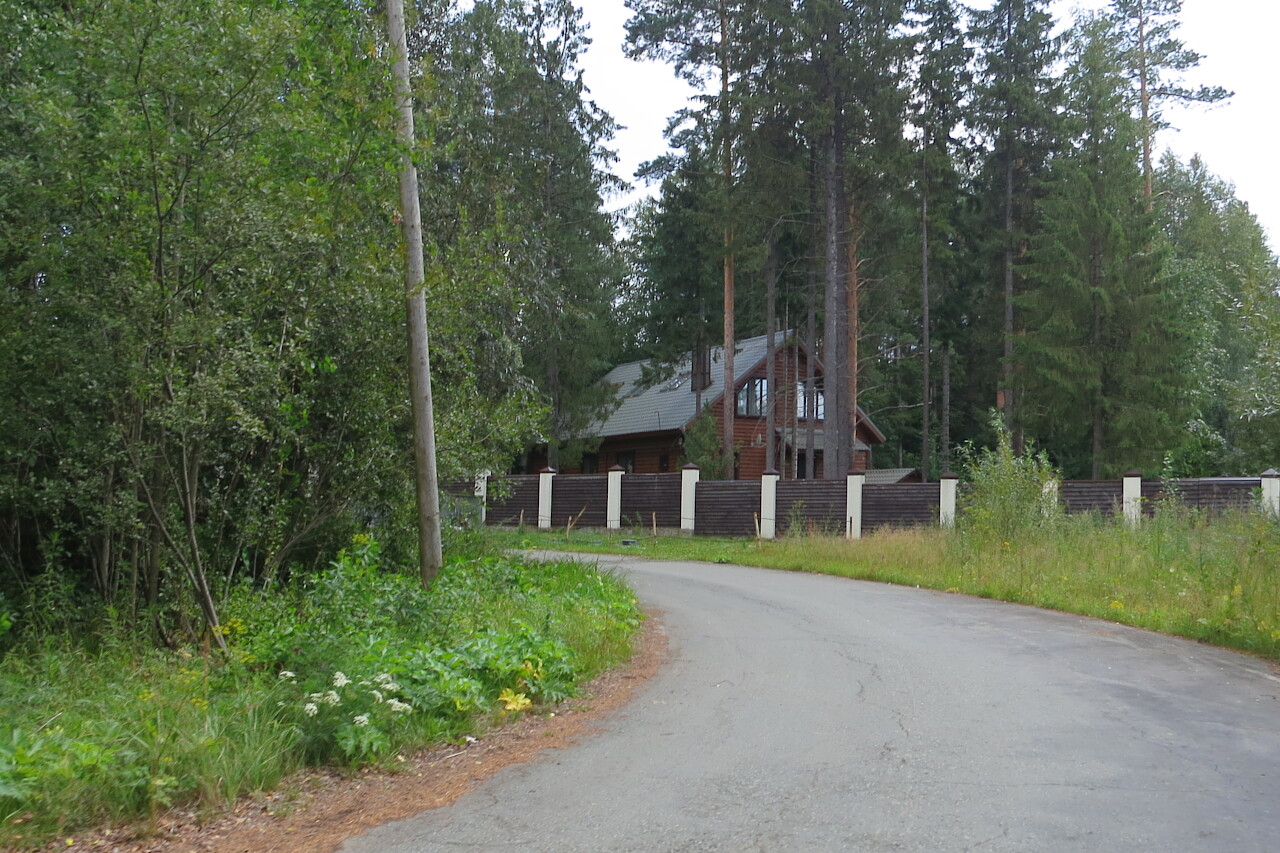
Then we went to the old core storage facility, in search of which we drove to the former pioneer camp, and now an elite country village.
In the 50s, a geological exploration party worked in the vicinity of the Ezhovsky mine, which discovered the Novo-Ezhovsky deposit.
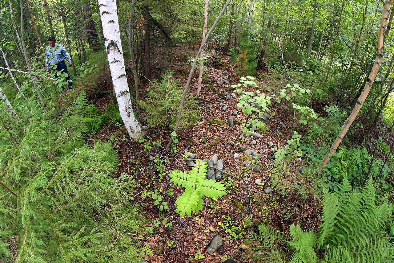
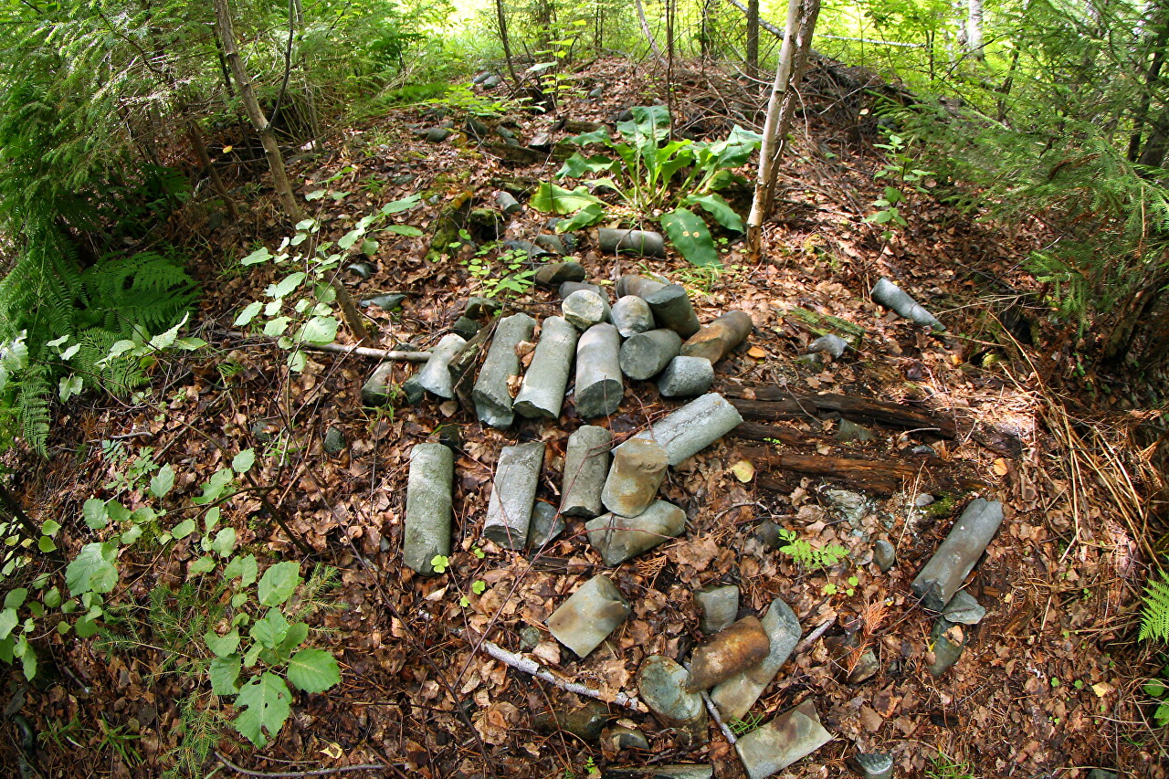
A boron core is a cylindrical rock sample obtained by drilling with an annular chisel.
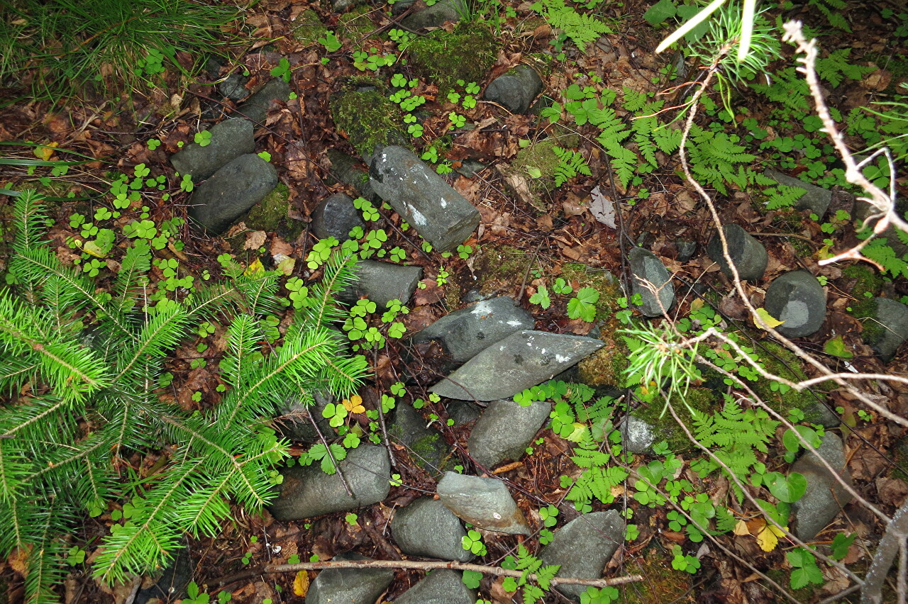
The cores that got into the ore body were taken to the laboratory for analysis of the metal content, and the cylinders with empty rock were sent to the core storage.
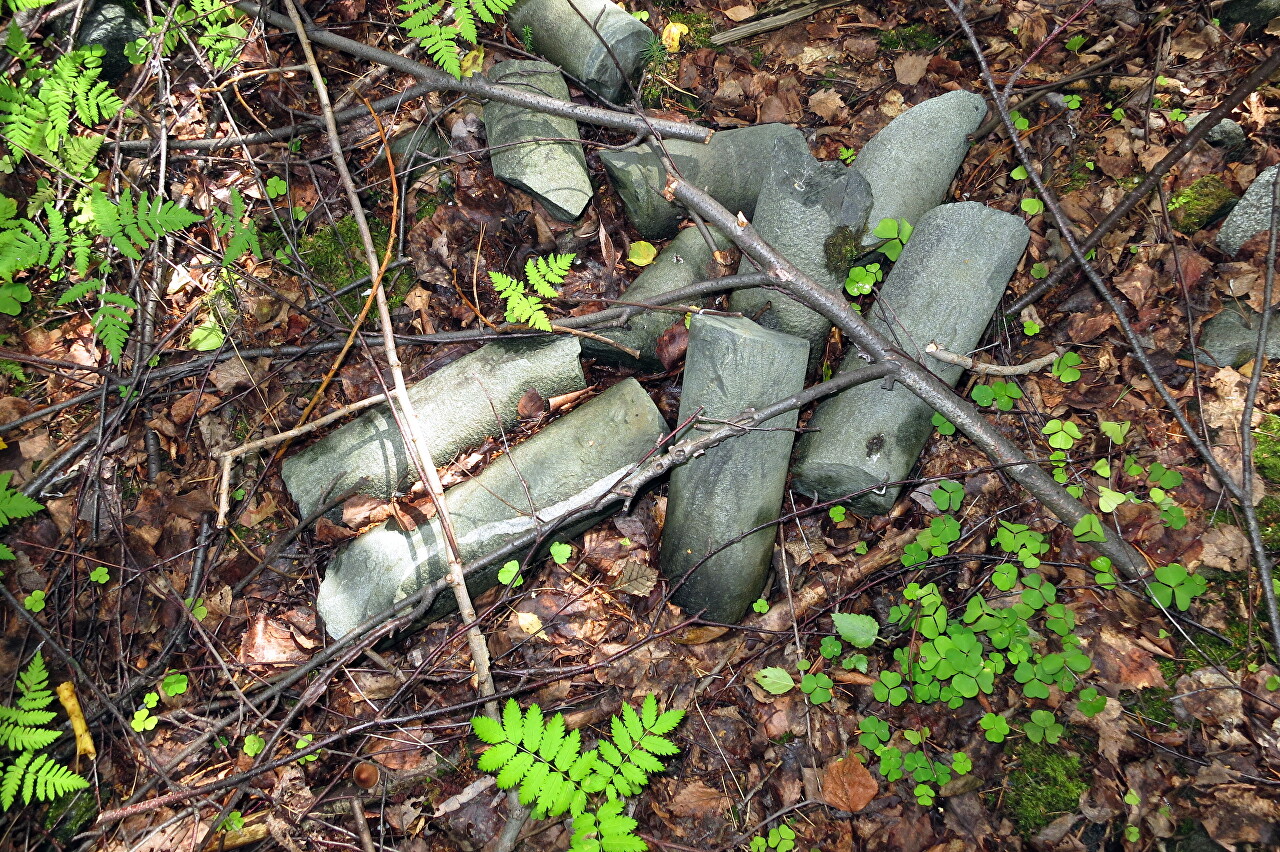
The cores were stored in special boxes, naturally, nothing remained of them for more than half a century.
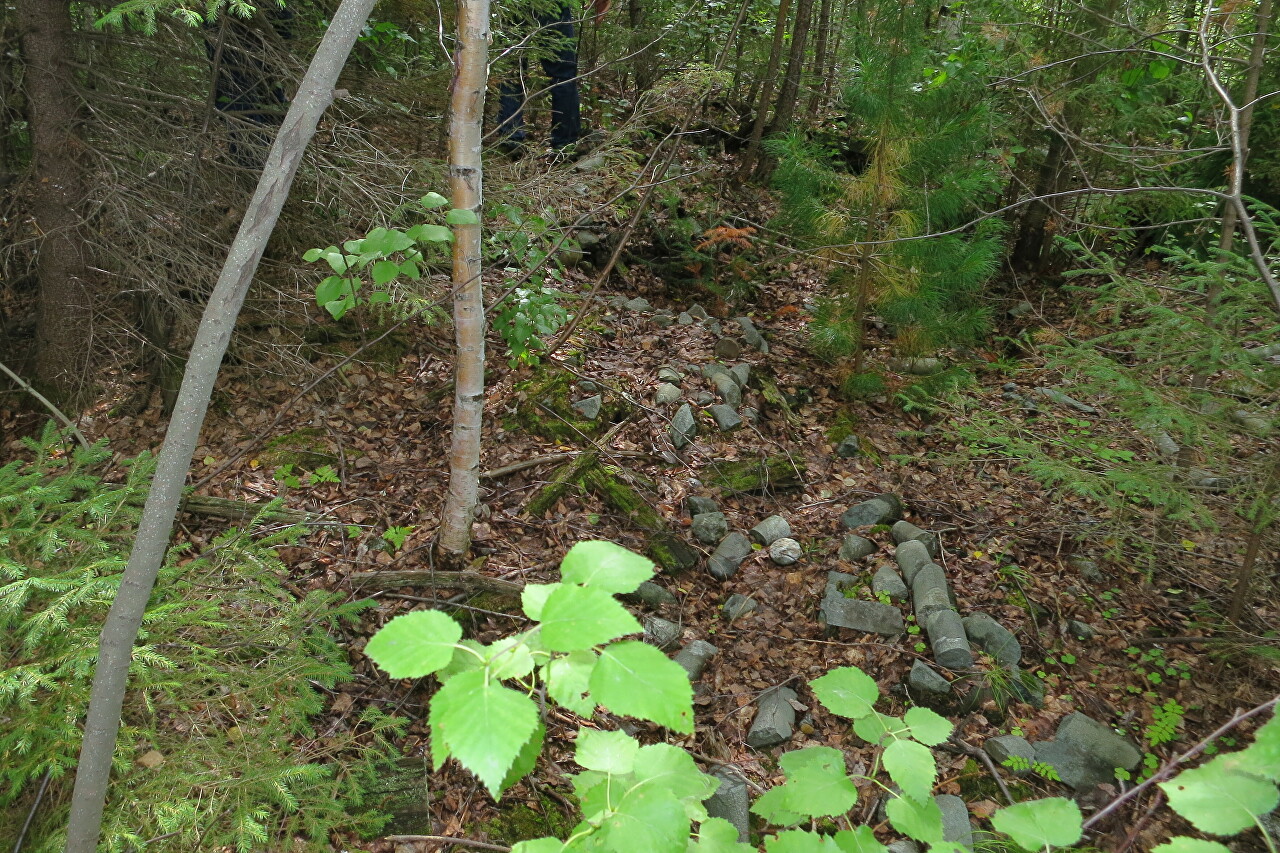
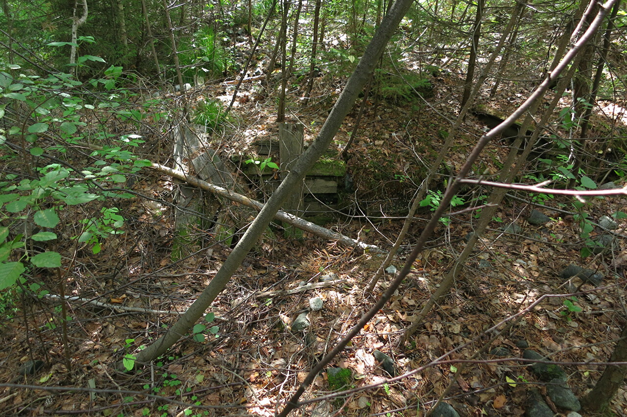
There are some wooden structures left on the territory of the storage facility, as well as the remains of boxes can be found under the moss.
As a result of the search, several fragments were found with grains of pyrite on the chips, everything else is a light gray monolith.
After taking samples from the Novo-Ezhovsky mine, we go to the Levikhinskoye field, more on this in the next article.