El Chorro. The way to the King's path. Reservoir Condo del Guadalhorce
As the bus from El Chorro station approached the North Entrance of Caminito del Rey, there was a stunning view to the left of the road, so when I got off the bus, I headed straight there, especially since I had plenty of time.
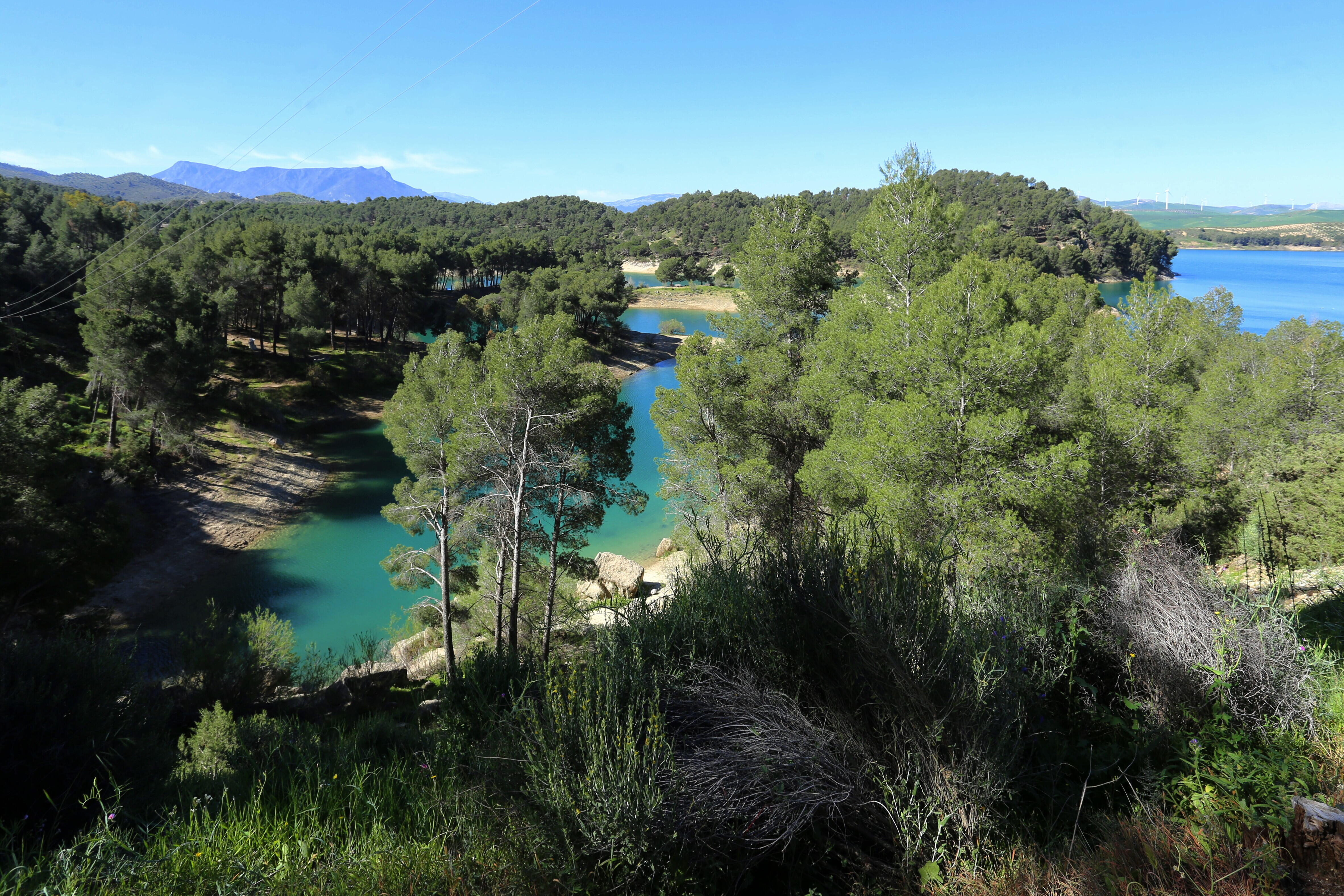
The navigator showed that it was only about half a kilometer to the picturesque cape, which jutted deeply into the waters of the reservoir.
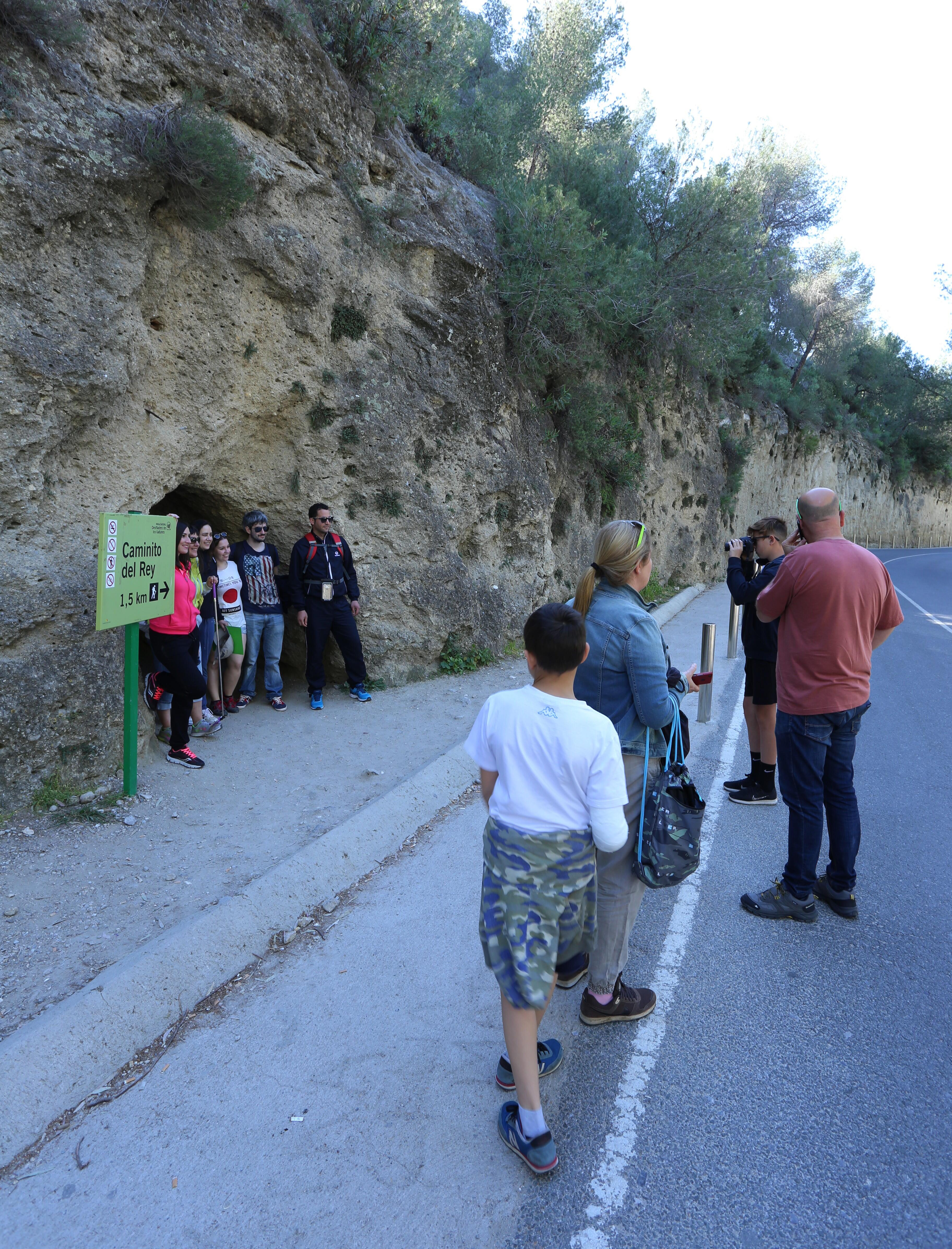
About three hundred meters from the bus stop is another entrance to the Royal Trail-the Small Tunnel (Túnel pequeño). This is where the "Short Cut" (Acceso corto) to the trail checkpoint begins. Its length is about 1500 meters, which is about half the length of the "Long Way " (Acceso Largo). I can't say anything about the picturesque nature of this route, I went along the long one, and I think that it is more interesting. There are always a lot of tourists here, but there are probably not many people who want to go through it. Looking in, I saw a dark dungeon with a small patch of light in the distance, from which the grave cold was drawn, where it is better not to go without a lantern. The length of the tunnel is almost 200 meters, and the height and width of about two meters, a walk along it is not obviously not suitable for those suffering from claustrophobia.
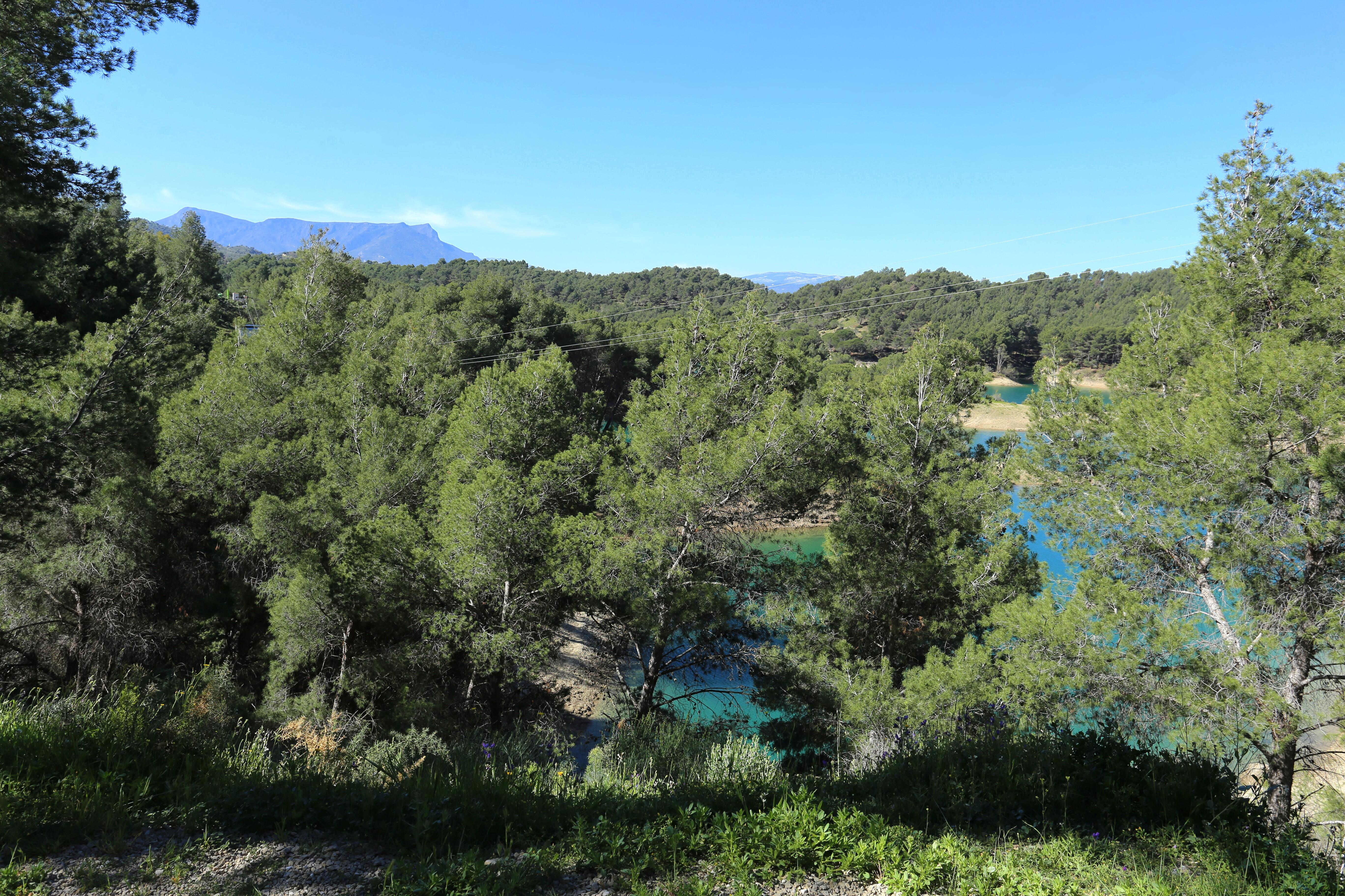
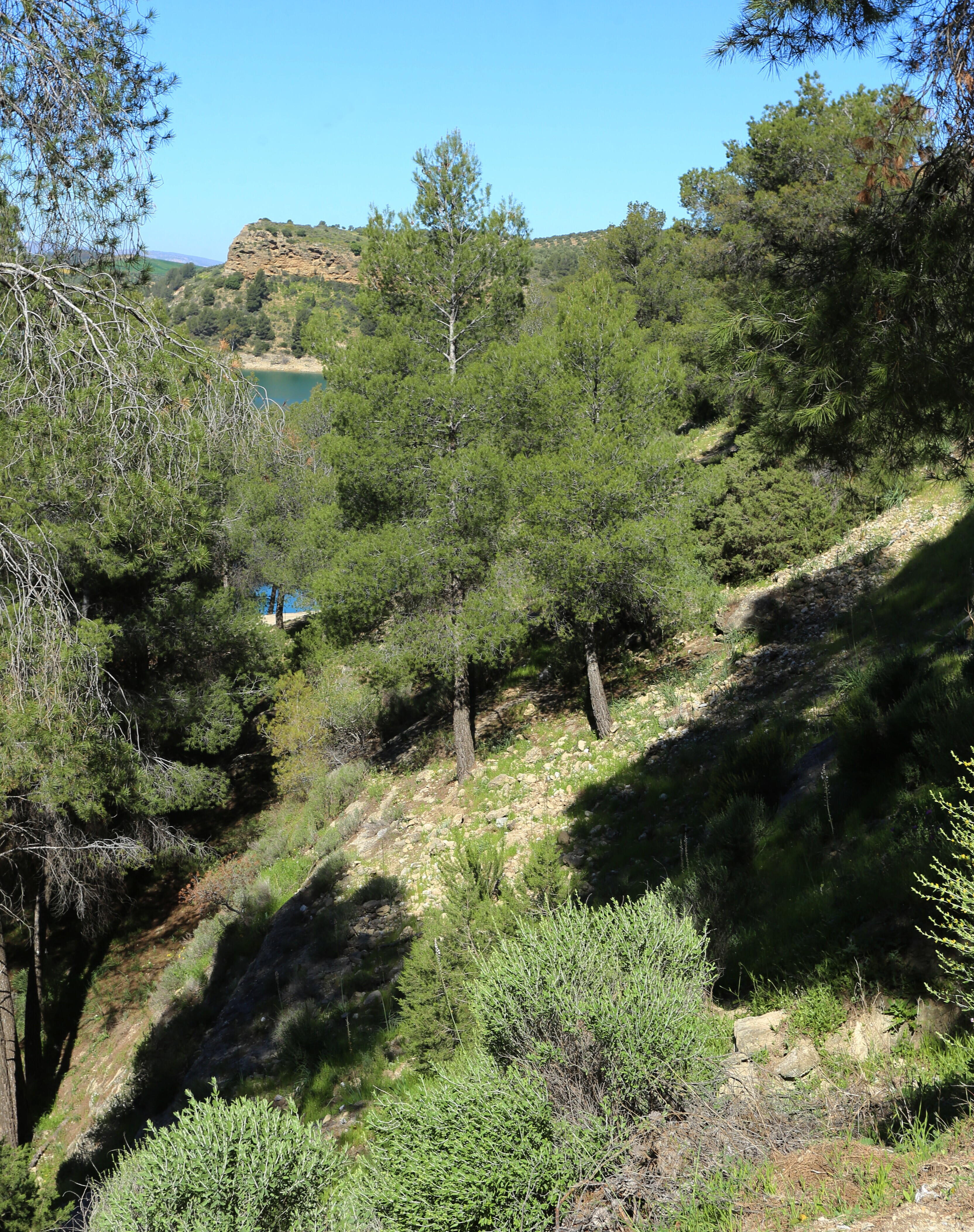
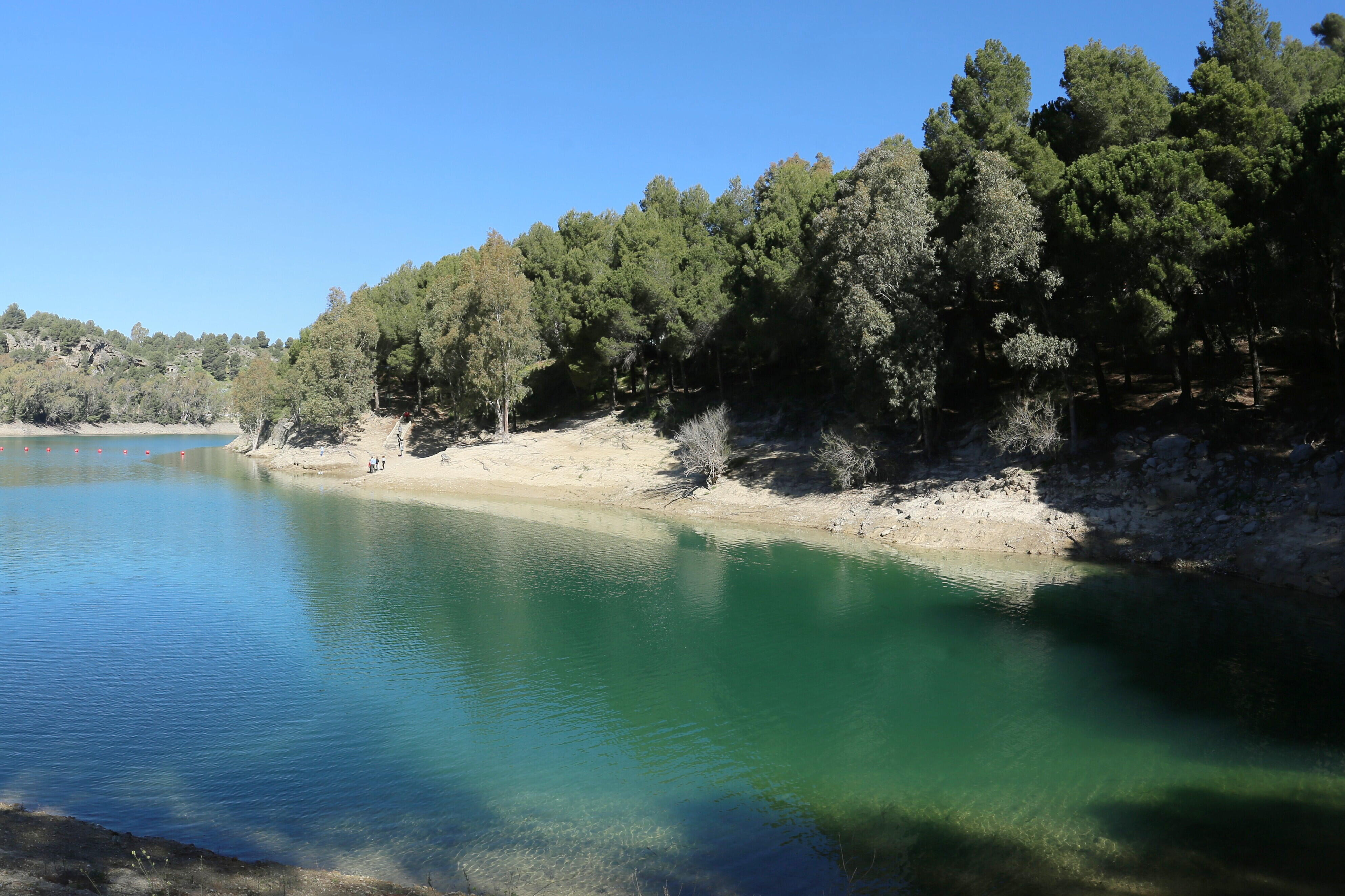
Then the road goes along the steep bank of the reservoir.

Here it is very picturesque, in the gaps between the trees at every step there are wonderful views.
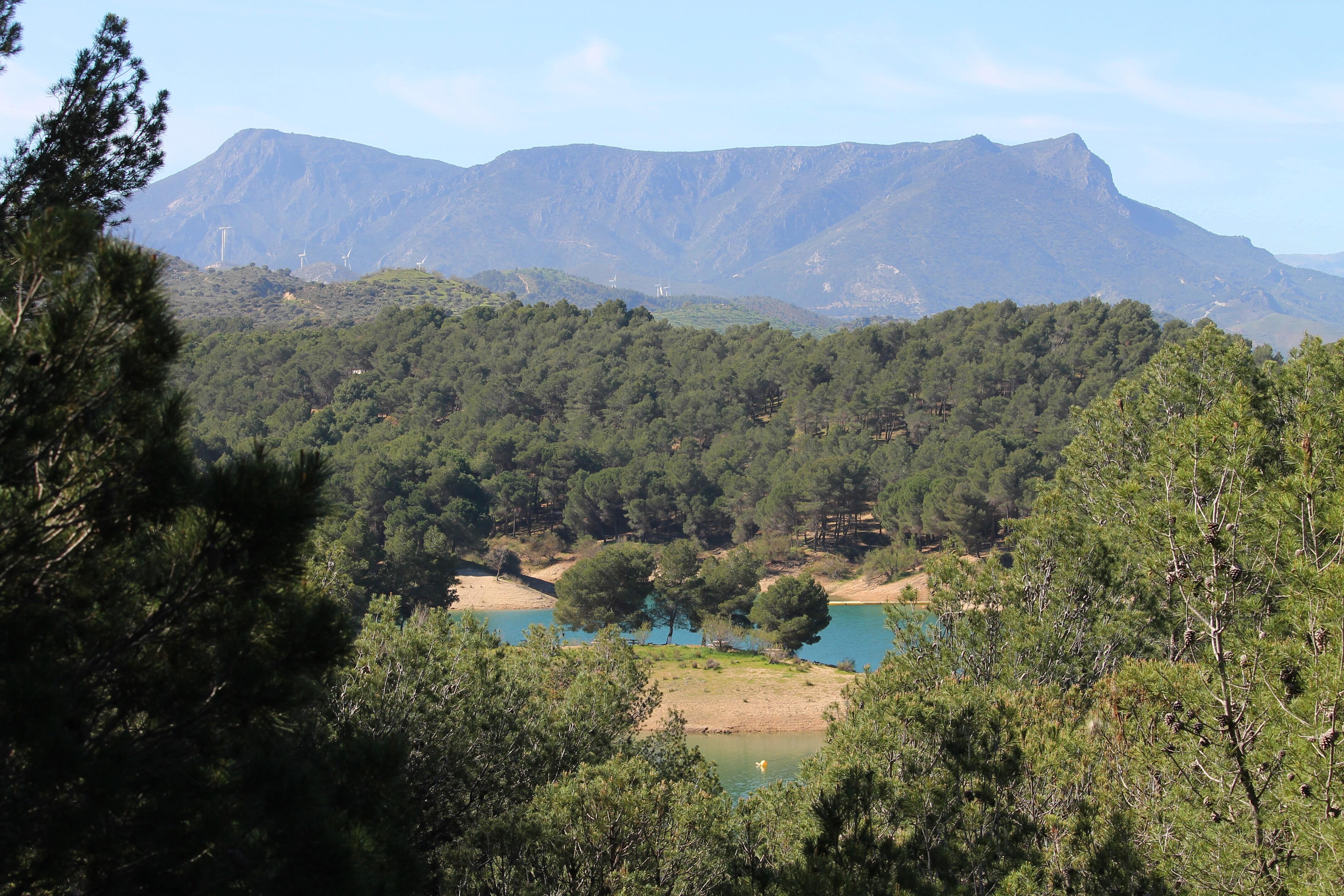
In the west, the rocky mountains of the Cordillera-Betica massif cover the horizon.
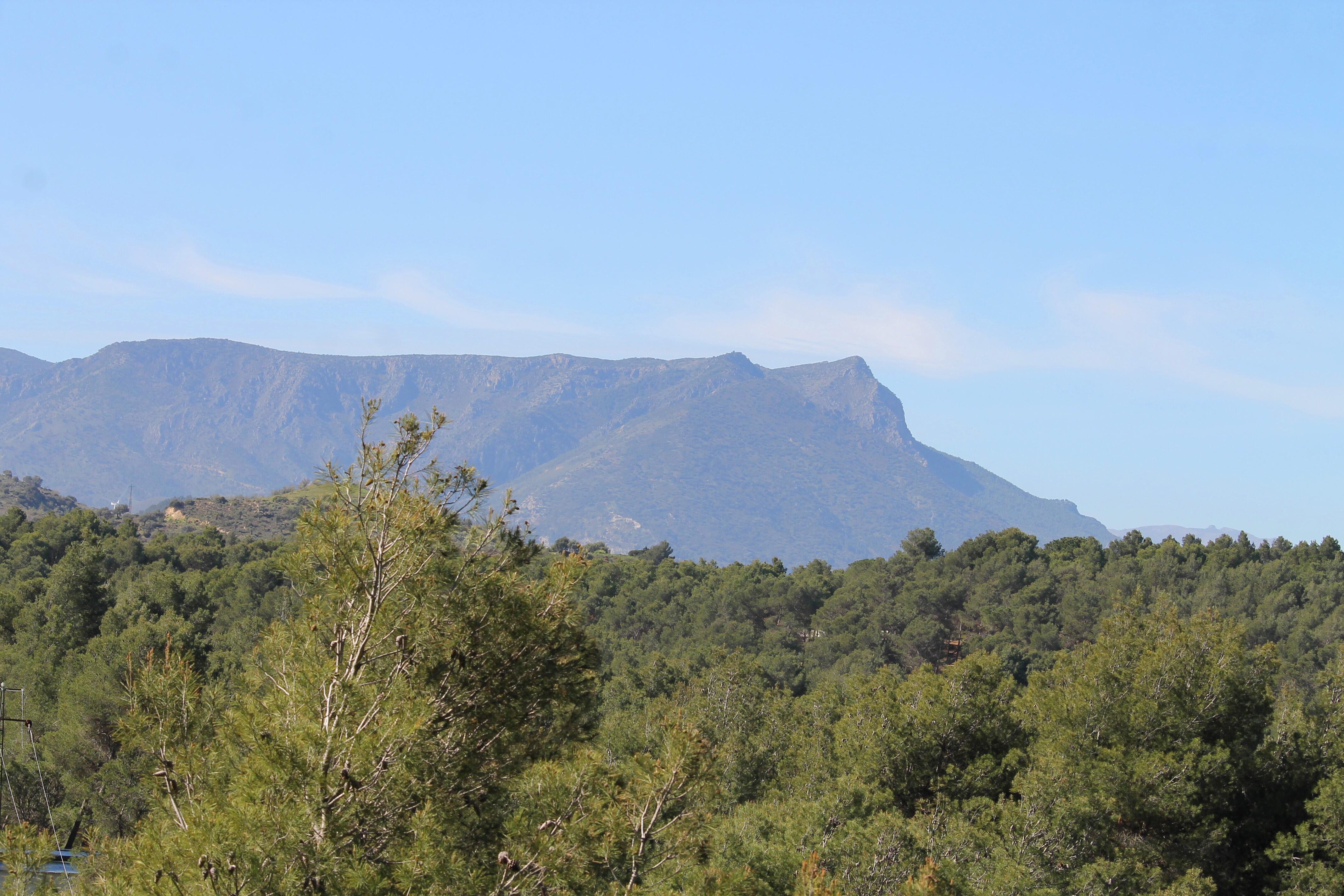
Airliners fly over these mountains from Malaga-Costa del Sol Airport and if you are lucky enough to fly this route, you can see the entire territory of the El Chorro hydraulic complex and appreciate its size.

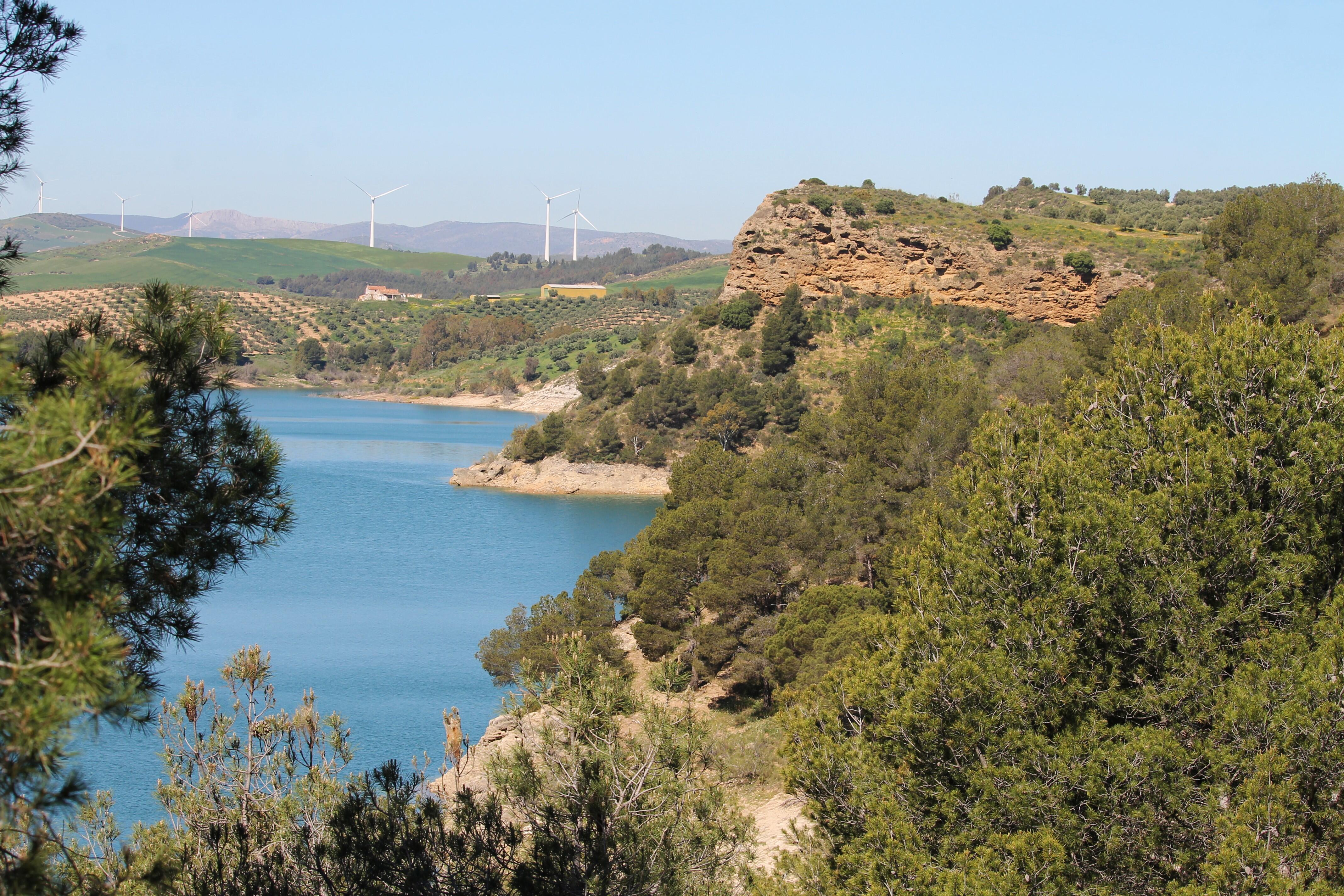
In the north, green fields studded with wind turbines.
Clean energy, of course, is a good thing, but the trouble is-there are almost no corners left where these white pillars with rotating propellers do not get into your eyes.
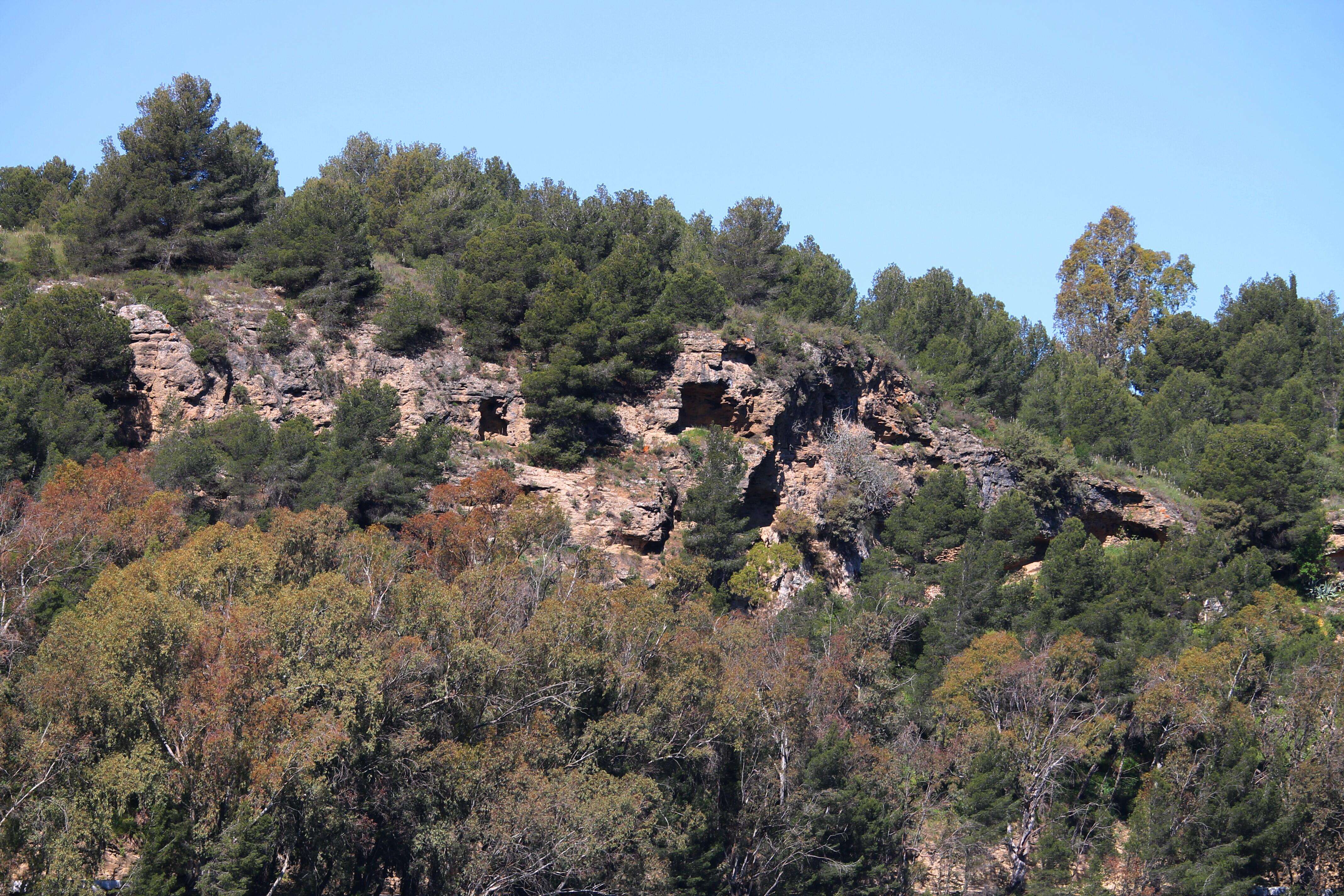
On the other side of the road, the cavernous slopes of Pico del Cueva (Mountain of Caves) descend.
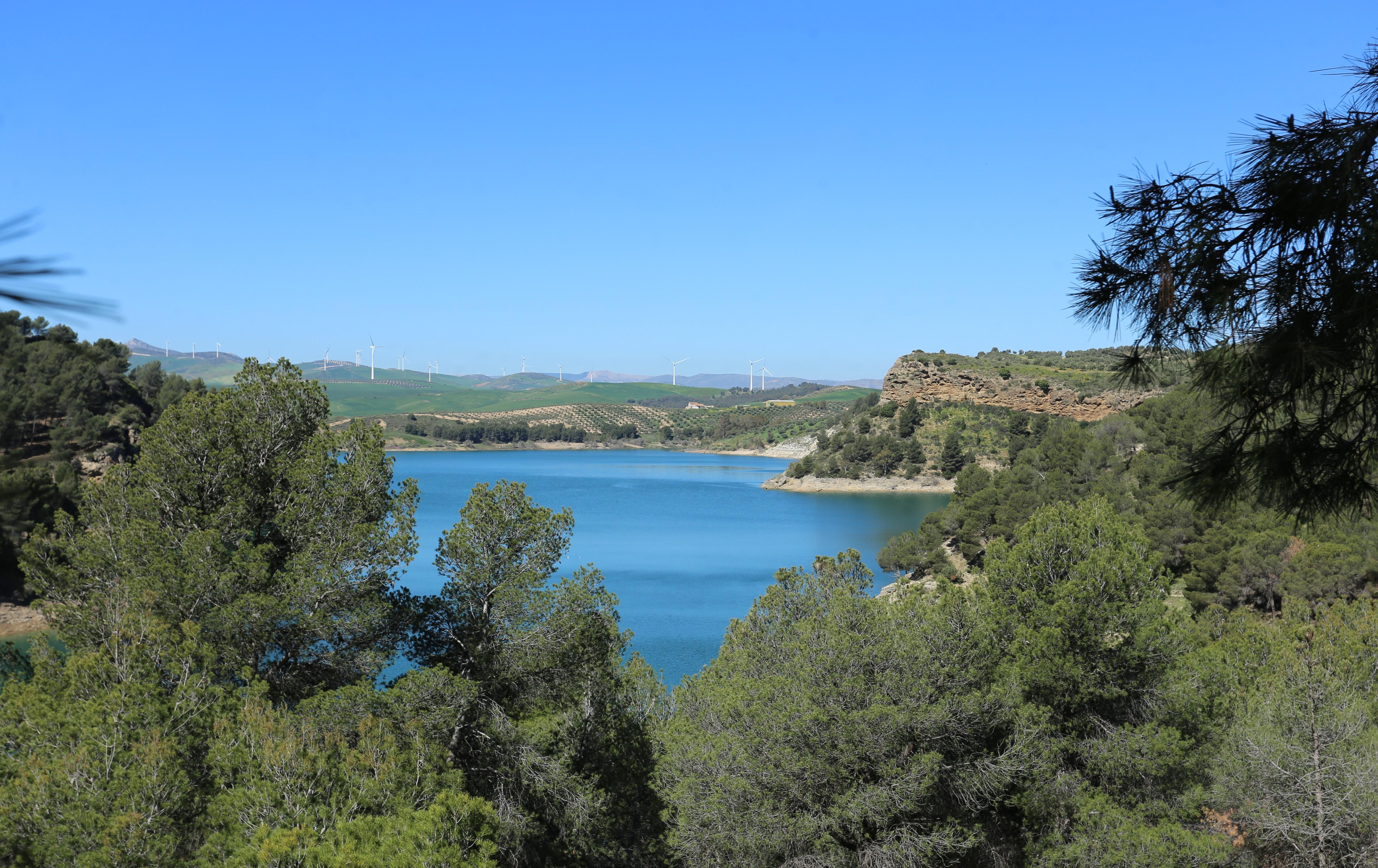
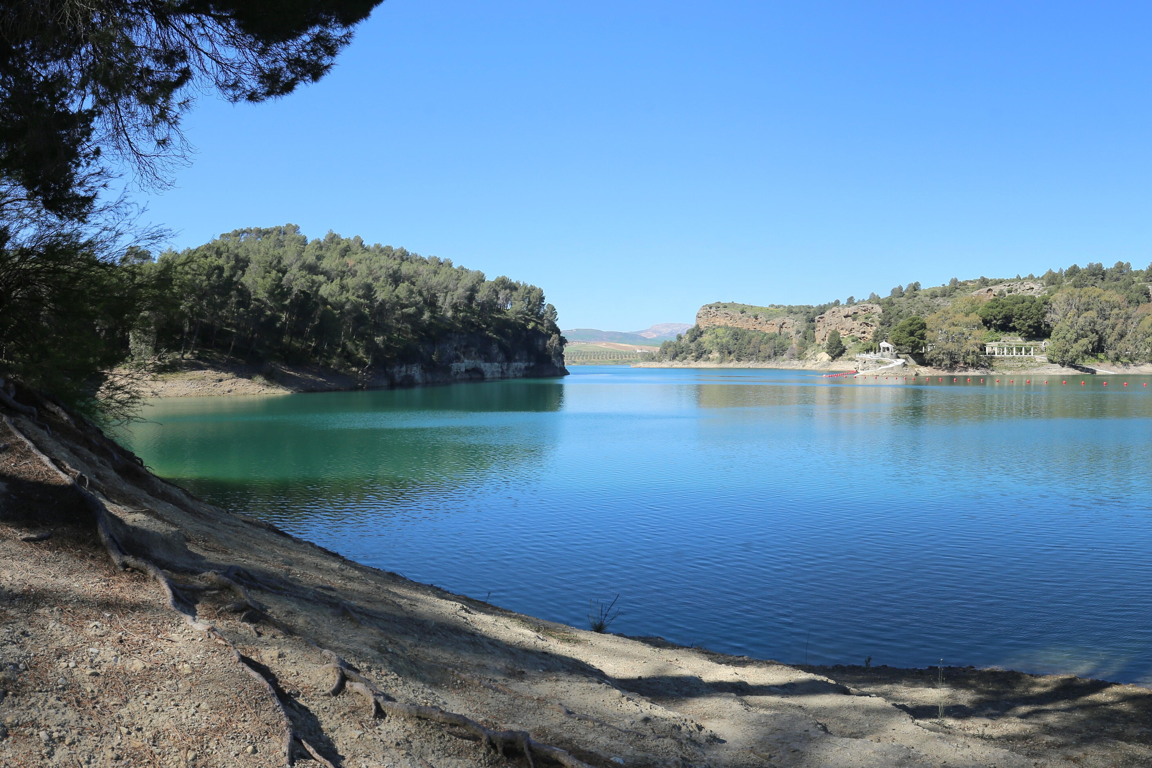
At last I reached the headland, which turned out to be a steep hillock, and began to descend to the water.
Around the cape, on opposite banks, the reservoir forms many picturesque bays.
Going down to the shore, you can see how far the surface of the reservoir extends. A hydroelectric power station on the Guadalorce River began to be built in 1914 under the leadership of the famous engineer Rafael Benjumea. This is a long story, and I'll cover it in more detail in future articles.
Construction was completed in the spring of 1921, on May 21 the station was commissioned by King Alfonso XIII, and the chief builder was given the title of Count of Guadalhorce. The reservoir was named Pantano del Chorro (Swamp of Jet), and in 1953 received the name Embalse Conde de Guadalhorce (reservoir of Conde de Guadalhorce). The construction history is long and interesting, and you will learn more about it in the following articles.
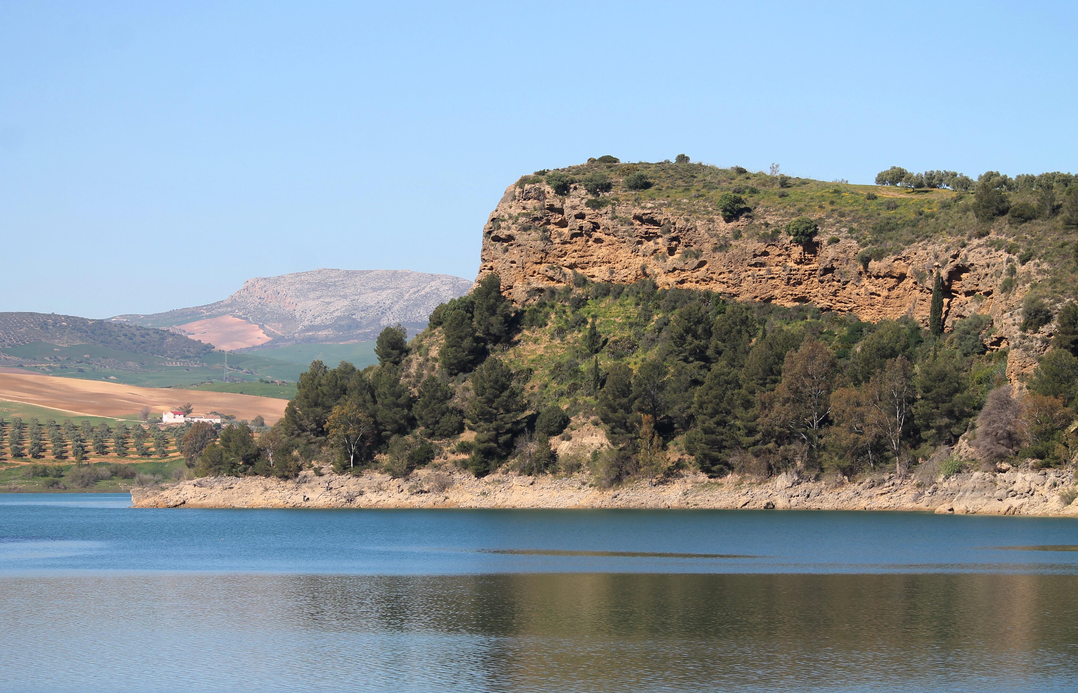
On the other side, you can see the "Engineer's house", or "Count's house", where Rafael Benhumea lived during the construction period. Now it is a private villa and access to it is closed.
You can go down to the water from the parking lot at the northern entrance to the Royal Trail.
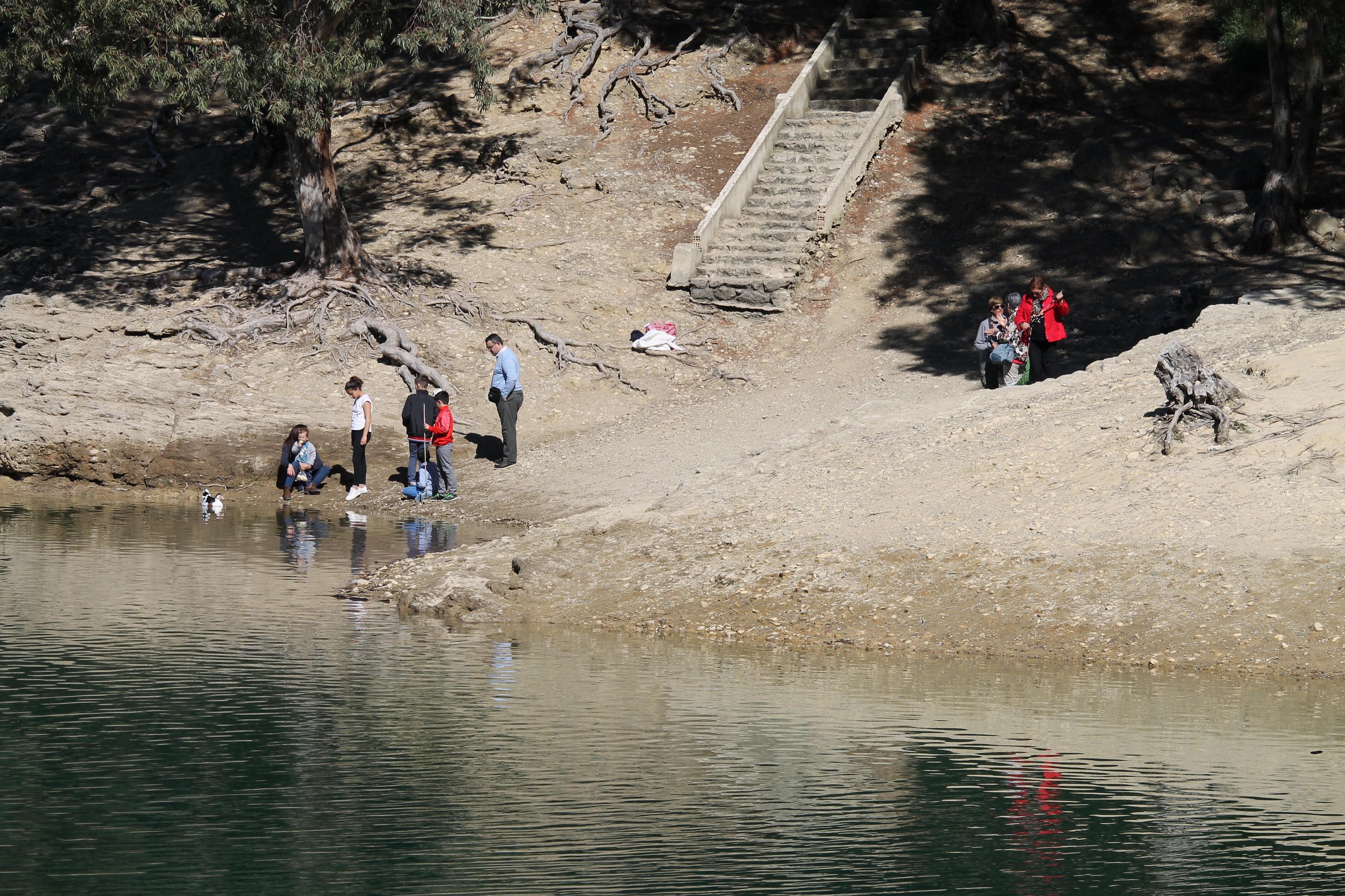
There is a shallow bay with sandy shores, where, apparently, you can swim.
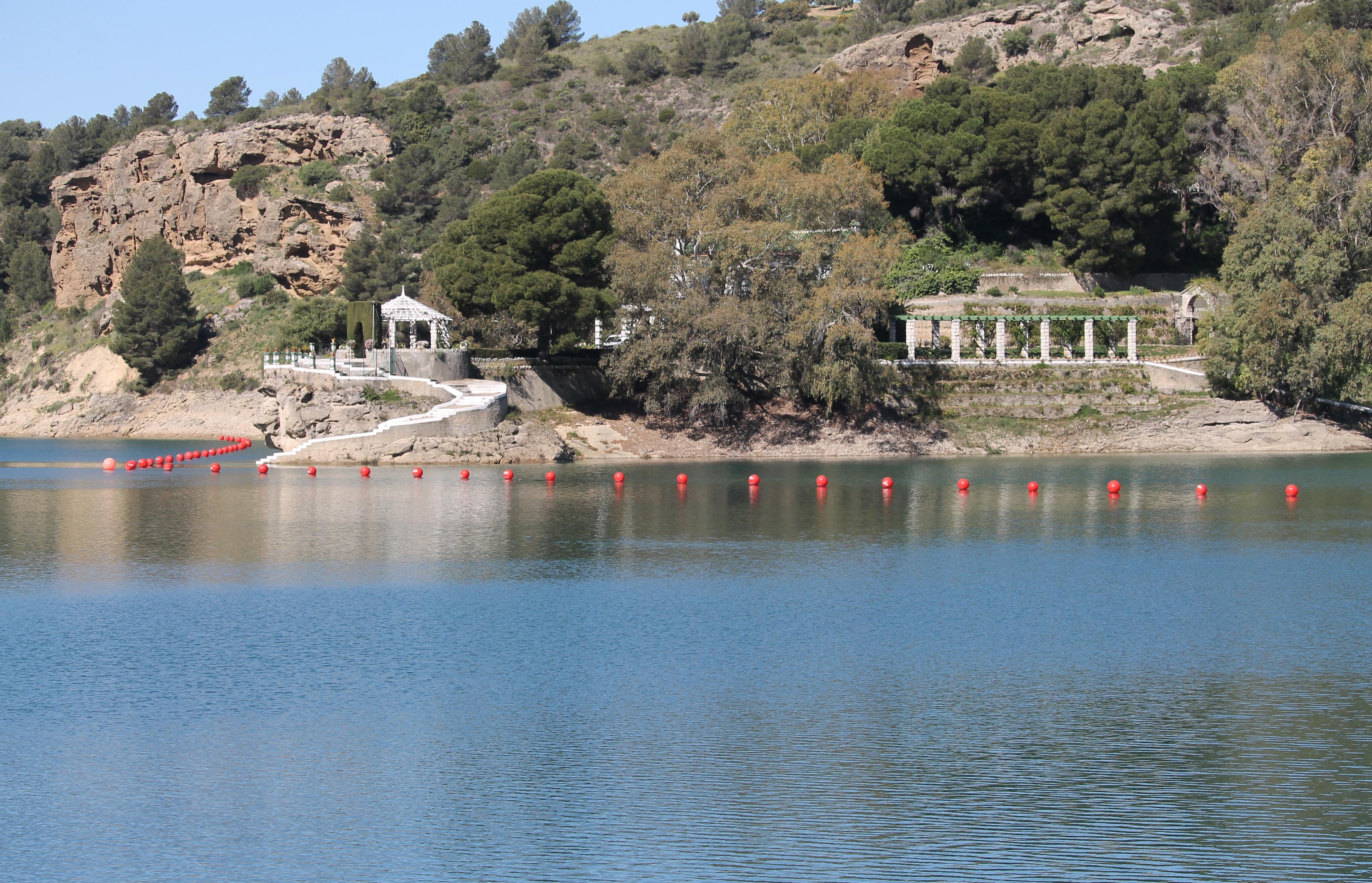
The attraction Caminito del Rey was opened for mass tourism only a year ago, and the surrounding area quickly began to grow with recreation infrastructure - on the cape there is a well-maintained territory Ardales Park.
