Trekking to Monte Epomeo
Getting off the bus in a small square in the center of the village of Fontana, I headed down Via Epomeo. I must say that the street goes up frighteningly steeply, which suggests the difficulties of the upcoming ascent.
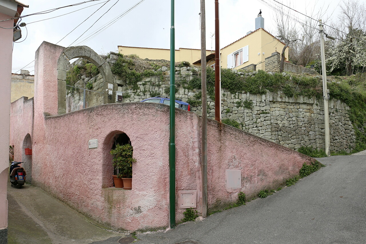
However, my fears were in vain and very soon the street led me to a gentle asphalt road, marked on the map as SP488.
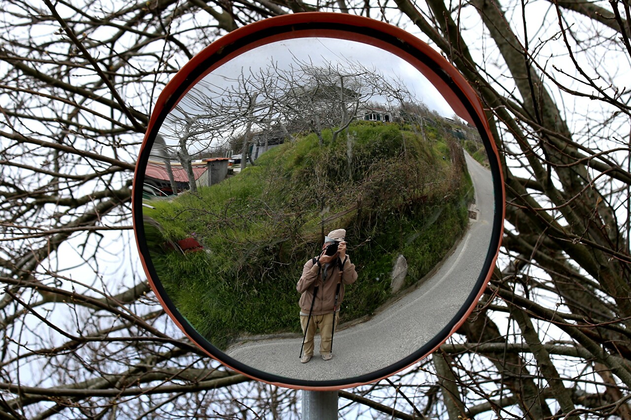
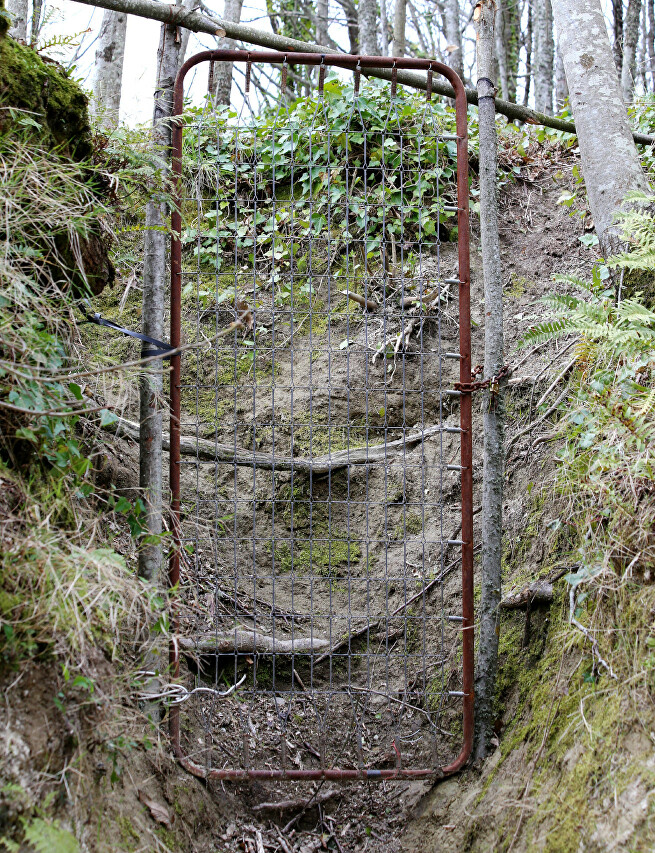
Along the road stretch the fences of private properties, which are stretched between the posts of a metal grid, or even just a wire. Fences equipped with wickets, in which the frames of old spring beds are ingeniously used instead of doors.
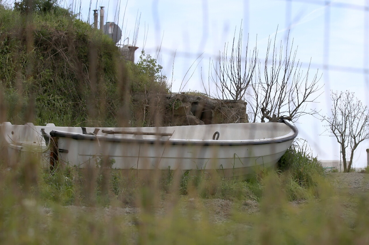
Behind one of these fences, I was surprised to see a boat. Let me remind you that the fountain is located at a half-kilometer height almost in the center of the island.
There are signs at the forks of the road, so it is difficult to get lost. The total length of the route from the bus stop to the top of Monte Epomeo is just over two kilometers.
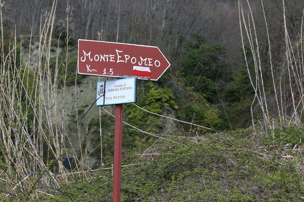
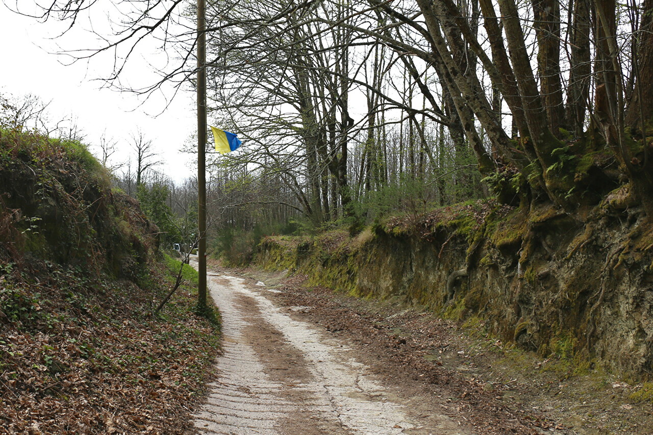
According to the sign, I turn off the asphalt onto a paved road. Here I saw a yellow and blue flag, left, I think, by one of the Ukrainian tourists. After two days on the island, this is not surprising - Ukrainian speech here is heard often, as in Naples.
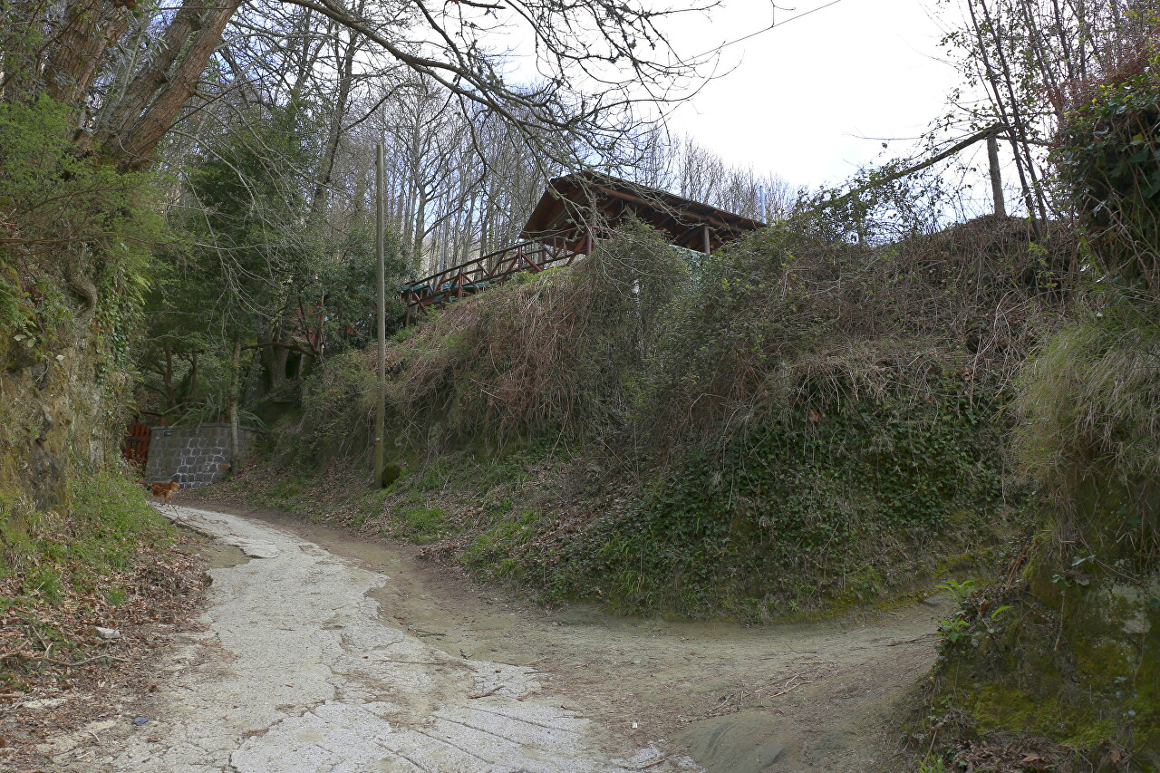
Soon, a roadside restaurant loomed over the road. It's closed this early, of course, but on the way back here you can restore the calories you've spent. The restaurant is about halfway to the top.
Behind the restaurant, the road goes through a real wild forest, but it is still flat and wide.
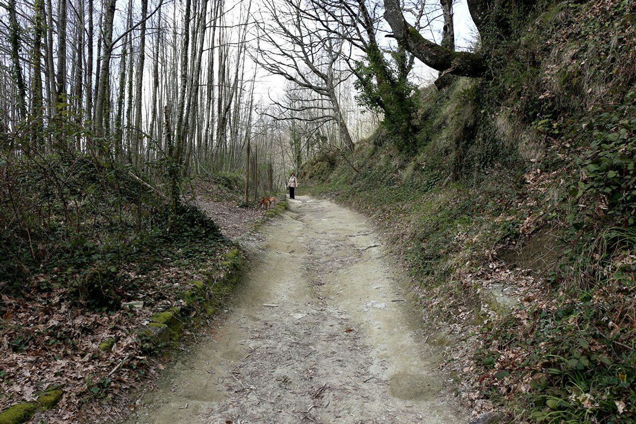
In the morning, the sky was clear and the sun was shining brightly, but by the time I reached Fontana, the sky was overcast, so the forest looked gloomy.
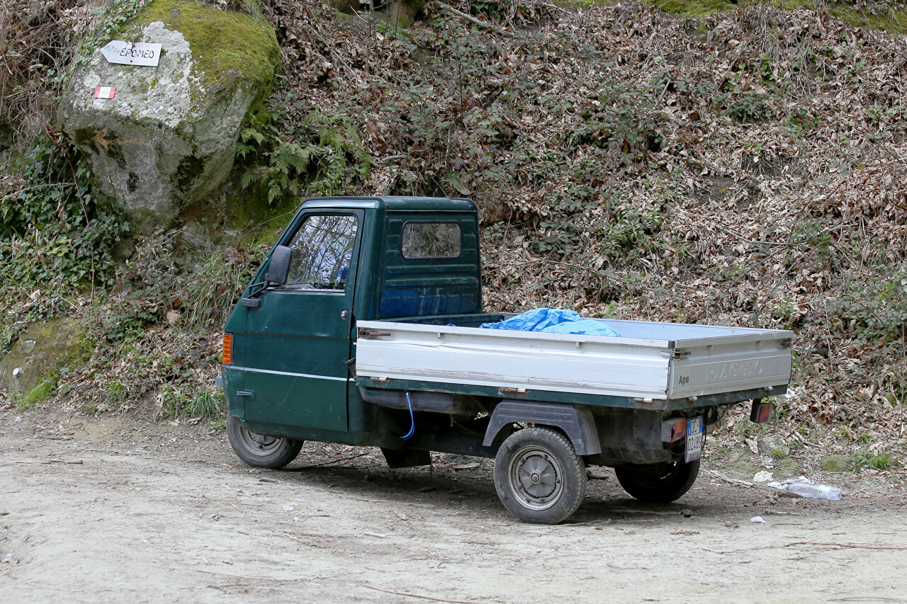
To this place you can drive on a cargo scooter (very popular transport in the mountains), then there is already a hiking trail. The road here diverges in two directions, the path to Epomeo is marked with a sign and a route mark.
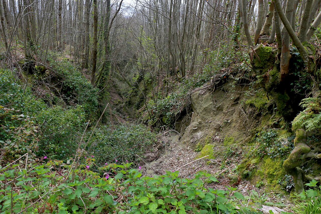
Another narrow path goes deep into the forest thicket. It is marked on the navigator map and leads to the same road SP488.
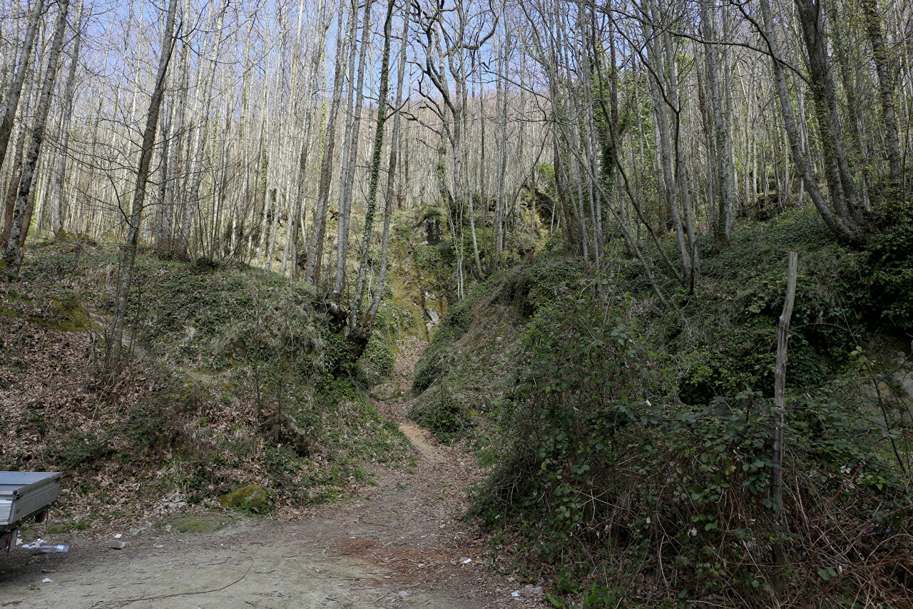
Finally, the sun came out again, and it became more fun to walk.
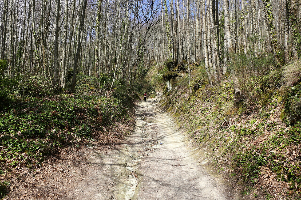
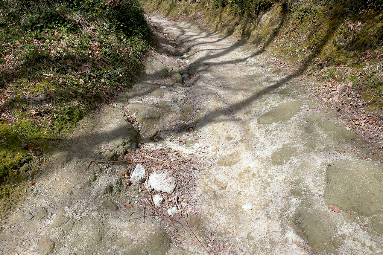
Under the feet of a well-trodden springy surface, it is quite comfortable to walk.
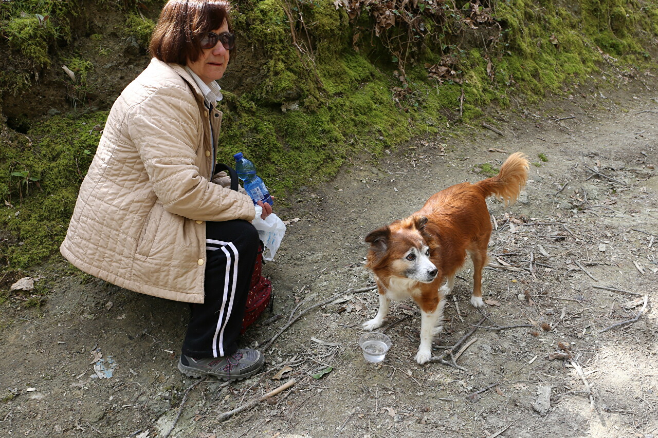
All the way to the top, I didn't meet anyone on the trail except an elderly woman with a cute red dog.
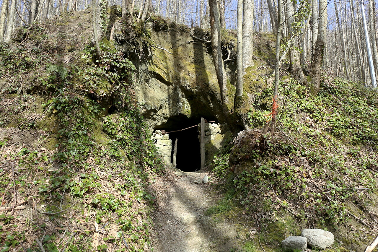
To the right, along the way, there was a small cave known as the grotto of St. Francis, which is also marked on the navigator's map as a tourist attraction.
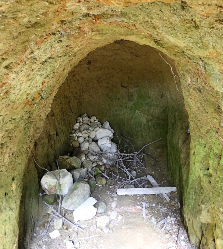
Once there was a small chapel where pilgrims stayed. Now only the cross carved on the stone wall reminds us of this.
Gradually, the path turns into a narrow path, squeezed between moss-covered stone slopes. In some places there are such "mines" left by horses on which tourists ride.
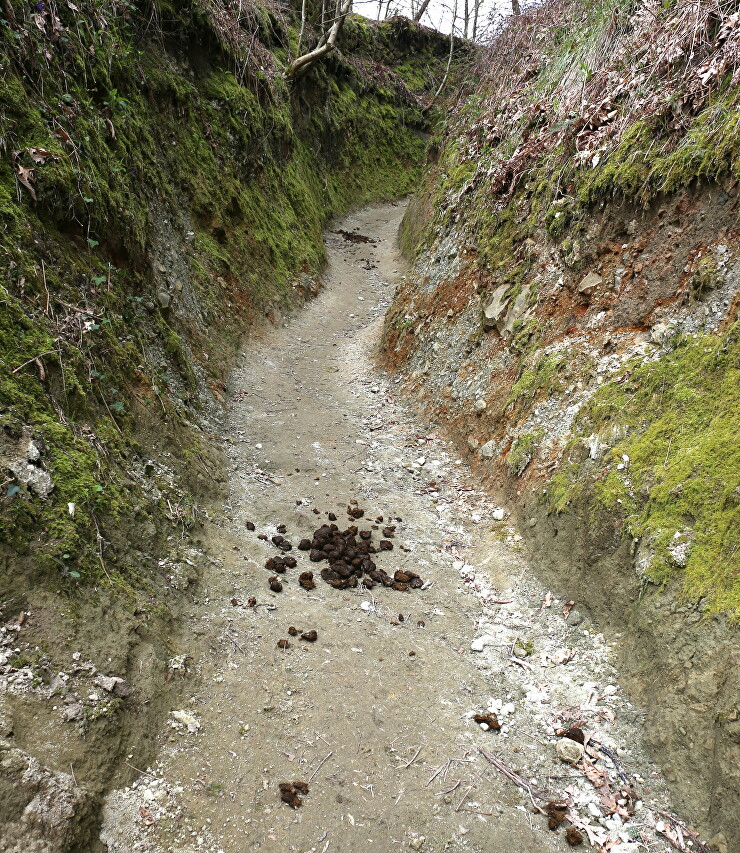
I suspect that the waste products of horses are removed naturally. The stones underfoot are covered with a soft layer of organic matter.

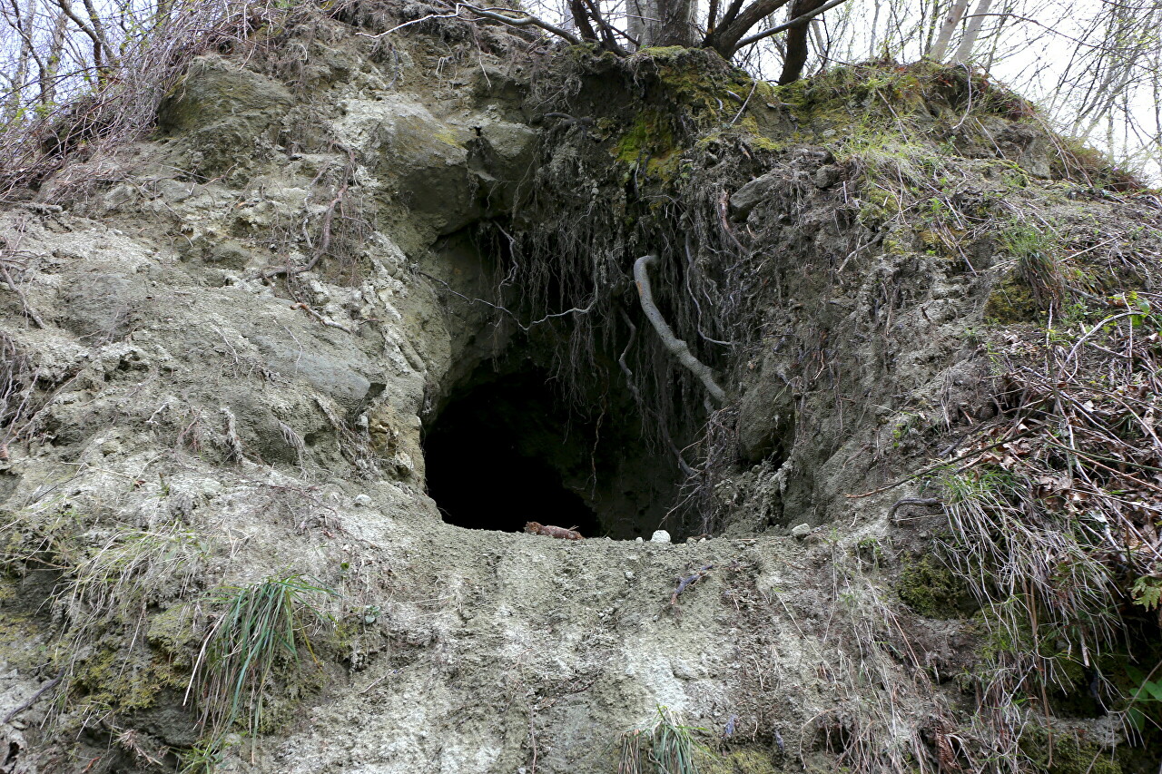
Another den. It is difficult to say who dug it, but I have seen such burrows on Ischia many times.
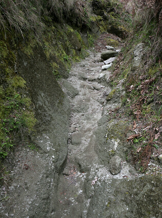
The trail gets narrower and leads me into a real gorge with almost sheer walls.
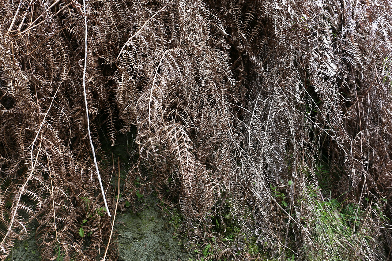
From above, dry fern shoots hang in a multitude.
I would not like to be in such a canyon during a downpour, which is not uncommon here in April.
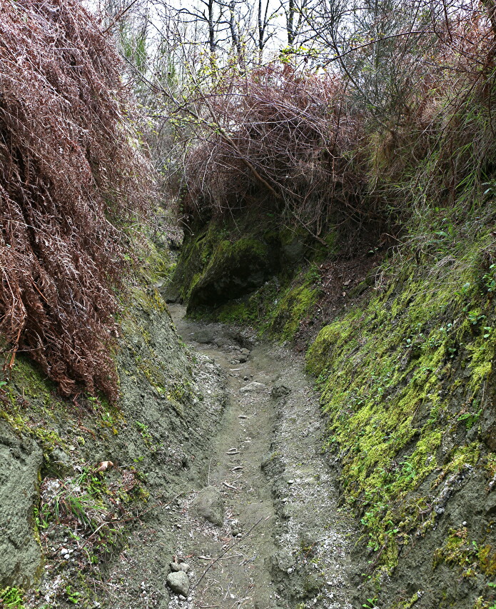
Finally, I come out of the gloomy gorge.
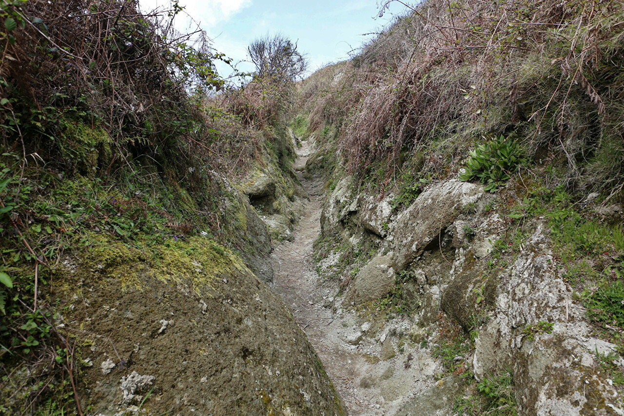
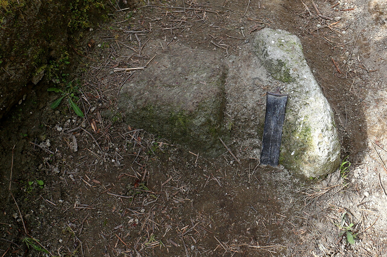
In the middle of the path, a sign of civilization sticks out of the ground. How a concrete fragment with a piece of steel beam got here is a mystery...
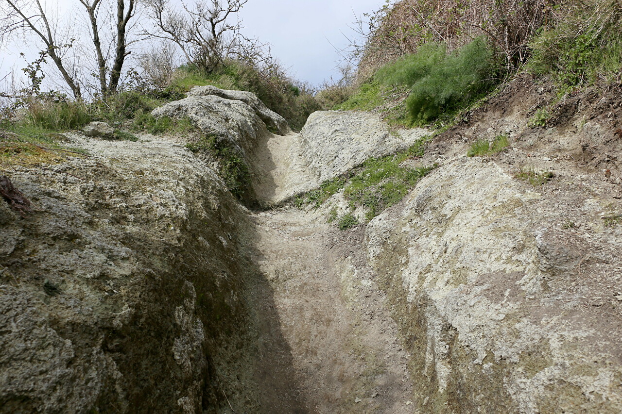
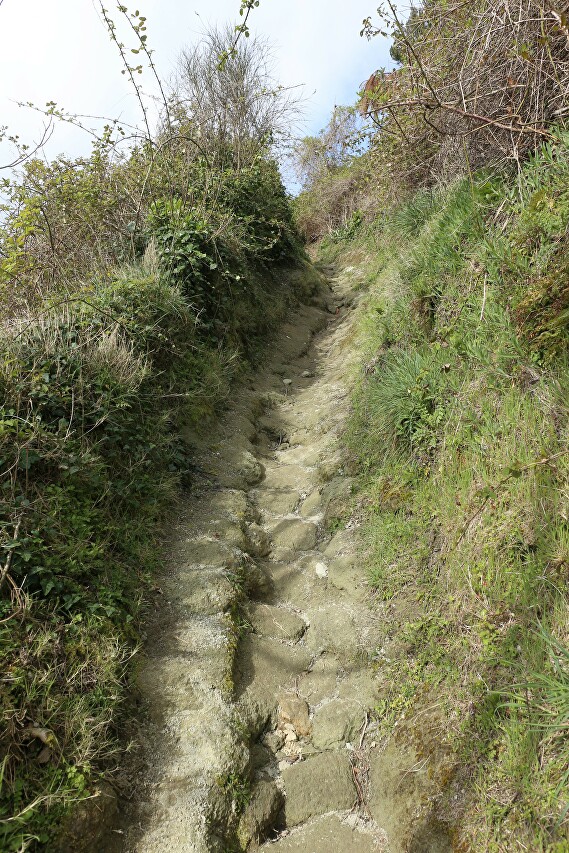
Even higher up, the path is cut into soft tuff rocks-the products of eruptions that form the top of the mountain.
Finally, the goal of my little trek, the summit of Monte Epomeo, became visible very close by. Here I met a couple of tourists who came on a different route, from the village of Santa Maria Al Monte. The mountainous part of Ischia is replete with trekking trails, they connect all the peaks of the island.
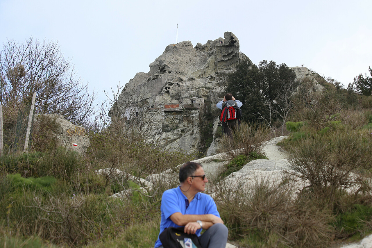
As I approached the summit, traces of volcanic activity appeared, and I stepped onto a smooth lava tongue of white tuff.
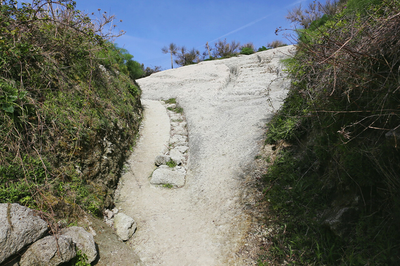
Then the path is cut through channels and gutters of the most bizarre shape.
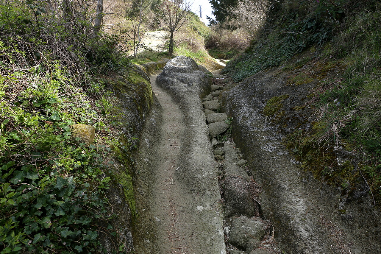
The water flowing down from the top during the rains washed a deep channel in the soft tuff.
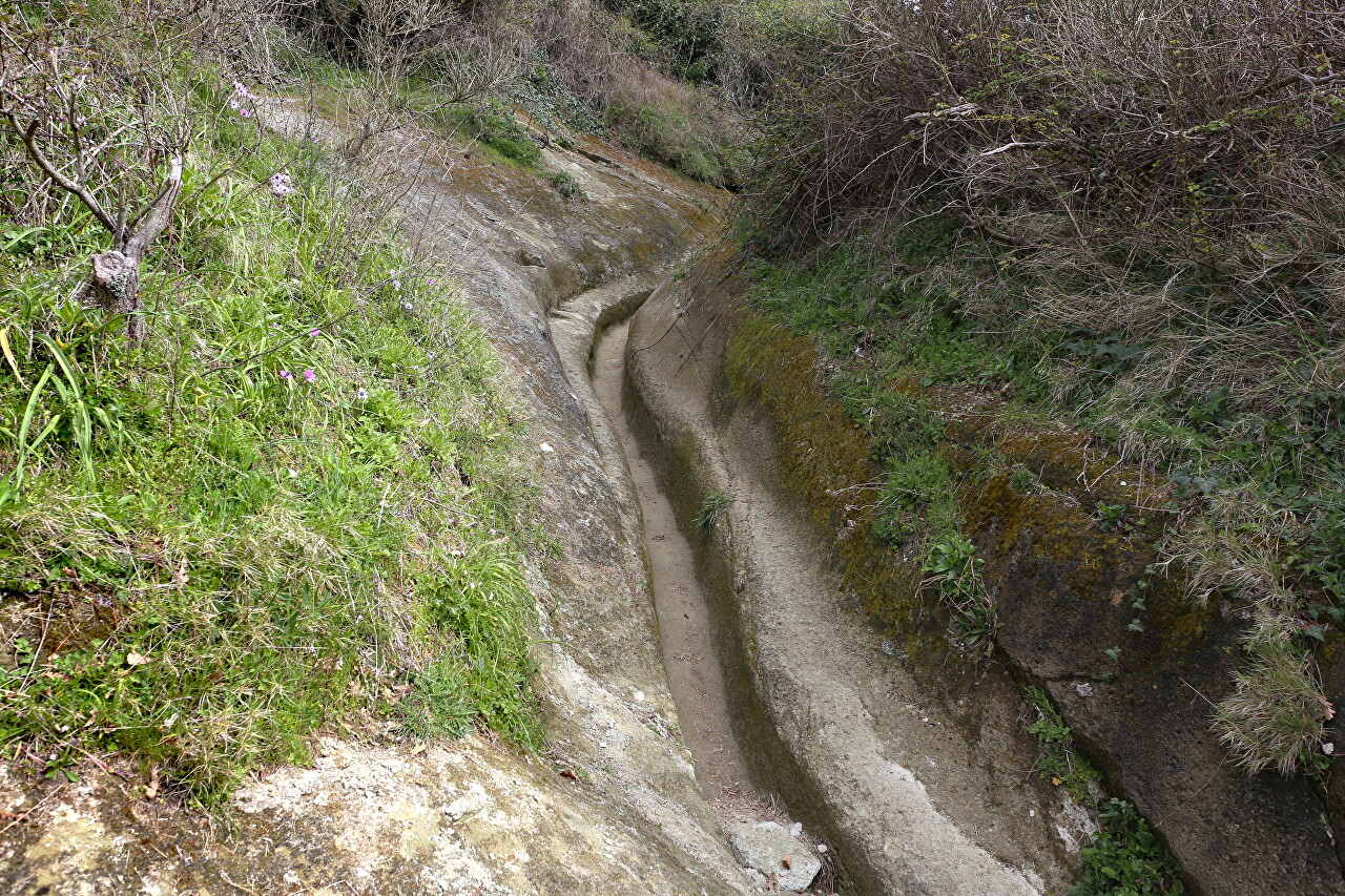
The path goes up steeper and steeper, as befits the slope of a typical volcano.
Ahead of the most interesting and breathtaking, the top of Mount Epomeo, read about it in the next article.