Views of Tortosa from the height of the La Suda castle
From the height of the walls La Suda castle overlooking beautiful views of Tortosa and the surrounding mountain ranges.

The Eastern part of the city.


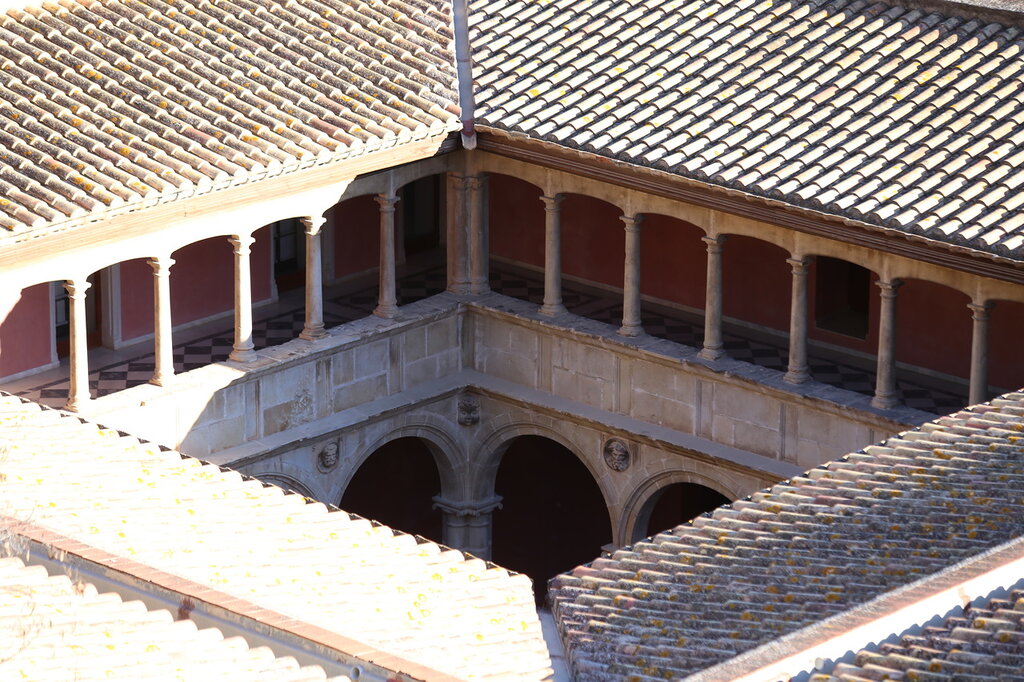
Royal colleges (Reials Col·legis de Tortosa).

Courtyard of St. James and Matthew college (Col·legi de Sant Jaume i Sant Maties de).


Water tower place in the Fort Turo (Fortificacions del Turó del Sitjar).

Below start wall fortifications of Santa Clara (Muralla de Sana Clara).

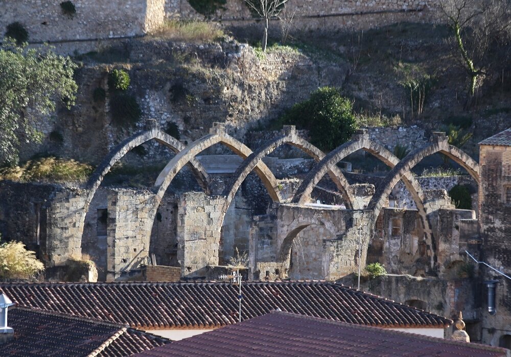
the Right of the wall are visible Gothic arch the Church of St. Michael, built by the knights Templar in 1220-1250, (Sant Miquel dels Templers map). After the siege and capture of the city by the count of Barcelona 1148 by Ramon Berenguer IV the knights of the order as a reward for military support have received the fifth part of the land reclaimed in the city. Now the ruins of the Church are in the territory of the monastery of St. Clare.

To the South overlooking the city center.

Cathedral (Catedral de Santa María de Tortosa map).


The Church of the Rosary (Iglesia del Rosario map).

View to the West. The valley of the river Ebro.

This territory was occupied Arab old shipyard on the banks of windy modern buildings at the municipal abattoir (L escorxador municipal map).

District Remains district, known as Jewish quarter.


In the east you can see the bastions of the San Juan fortress (Avançades de Sant Joan map).

The road from the castle hill into the city centre goes through the abandoned streets of the Gypsy quarter, which surrounds the fortified walls.

