Barbagallo Craters, Etna
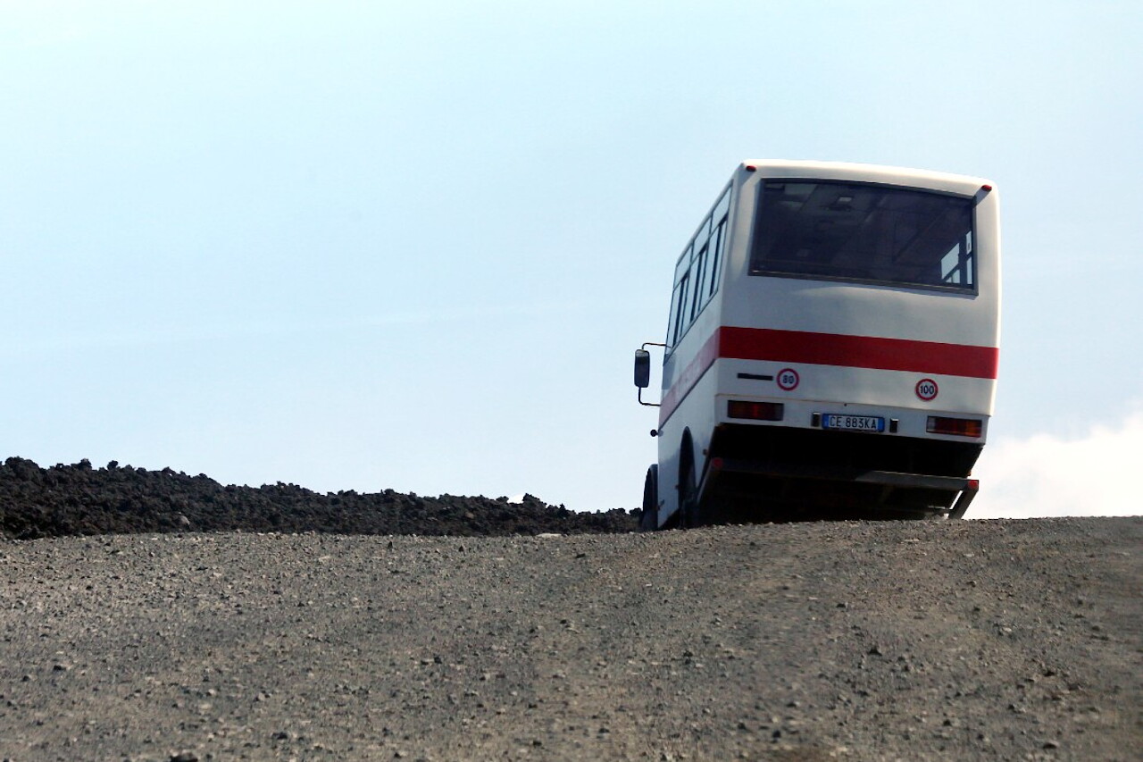
An off-road Unimog bus took us to Rifugio Protezione Civile, also known as Torre del Filosofo, where we will walk through the craters formed in 2002. As soon as we got off the bus, we were approached by a guide who would guide us along the route. This is also included in the full ticket price.
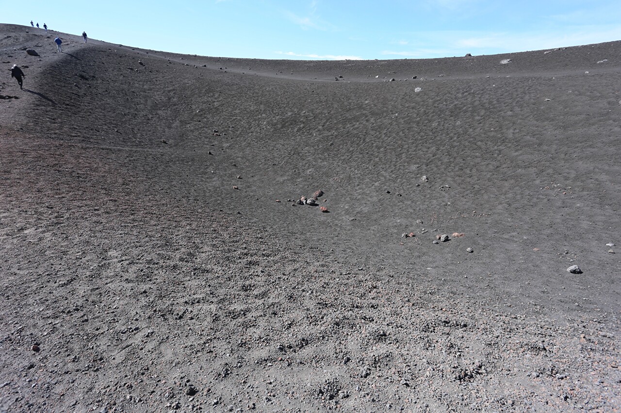
Our group consists of one and a half dozen people. The guide tells the story in Italian, then retells it in English in a fairly abbreviated form with a patter. In any case, this was the case with our escort.
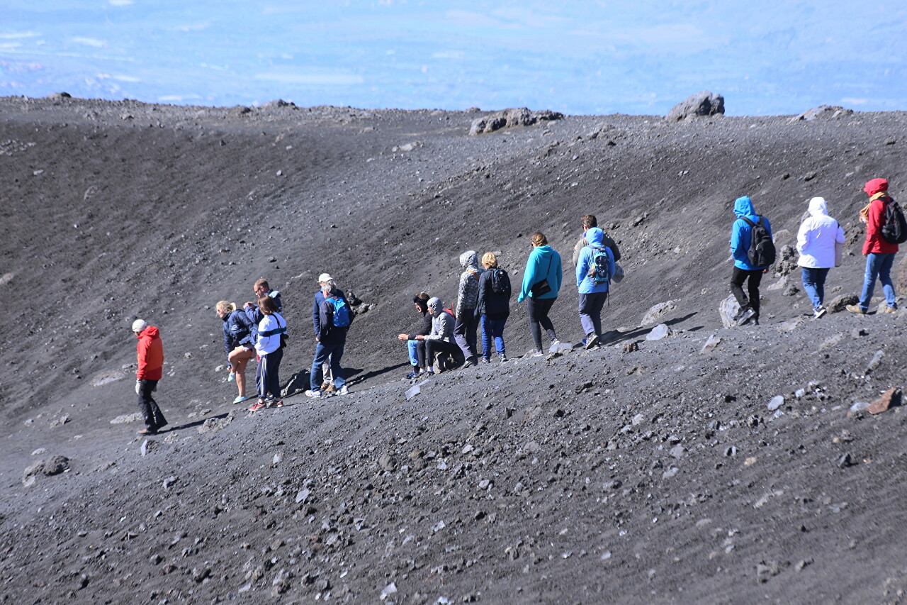
I can also add that in the wind, which blows almost constantly at this altitude, you can only hear something if you stand next to the guide on the leeward side. Since such stories fly into one ear and then immediately fly into the other, I did not even try to hear something, I devoted the entire walk to contemplating and photographing the surrounding landscapes.
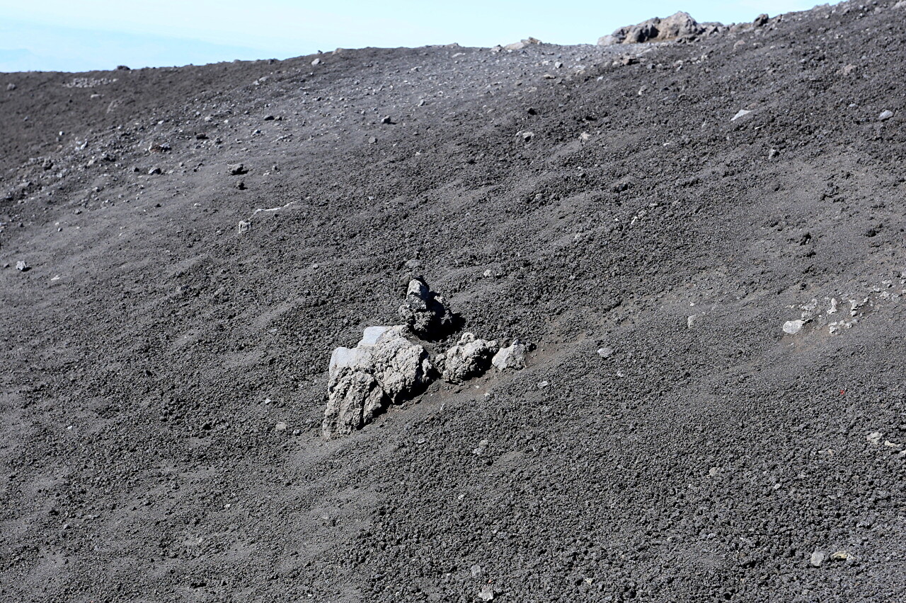
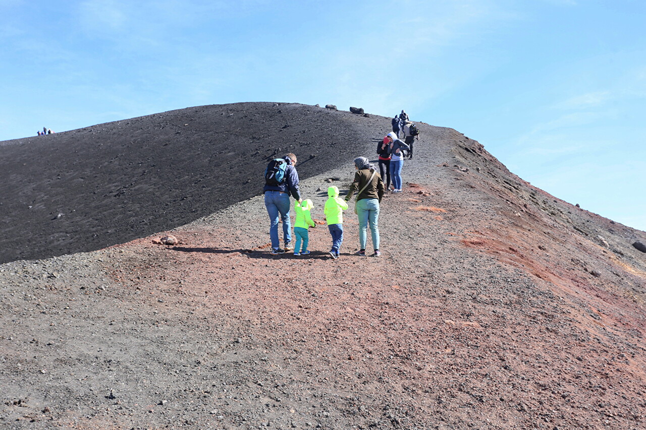
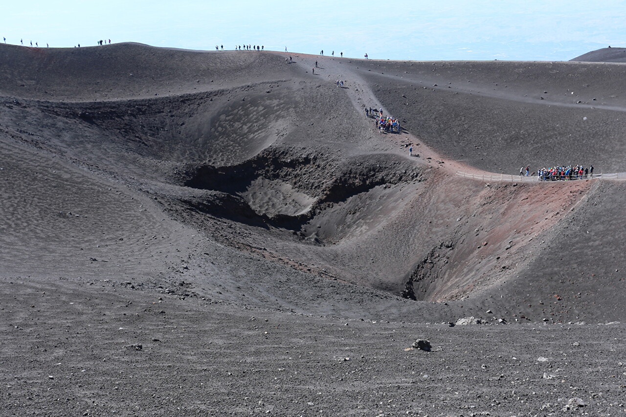
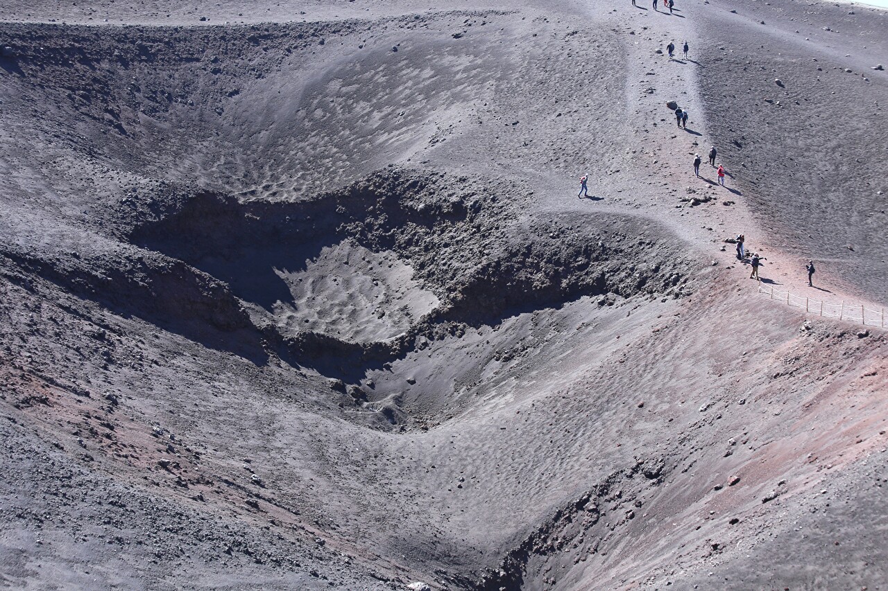
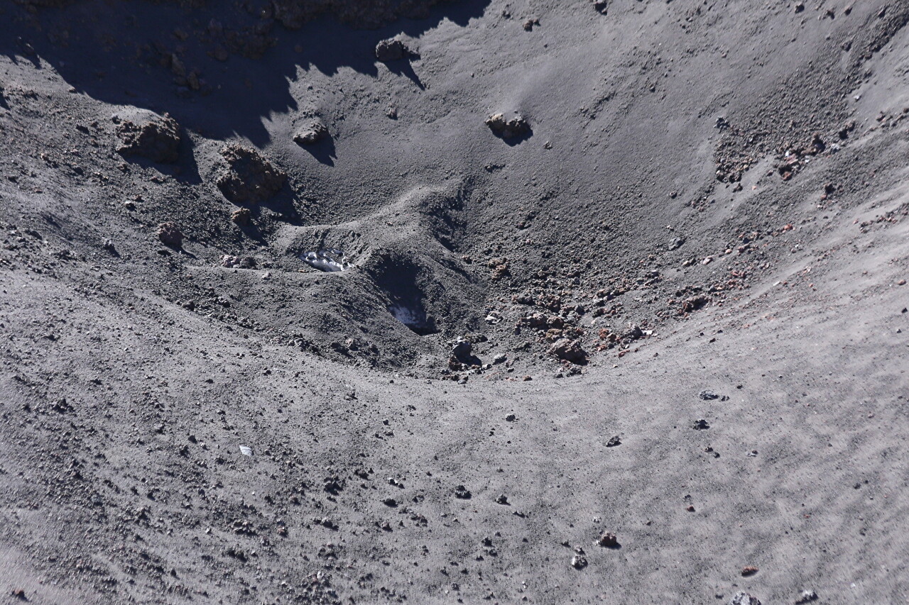
After a light climb, we saw a sinkhole with two craters on the right. The slope here is not too steep, but it is fenced with ropes, so that tourists have a desire to go down.
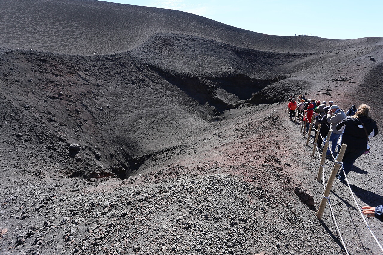
The lower funnel looks like it has just fallen off, and it's not safe to approach it.
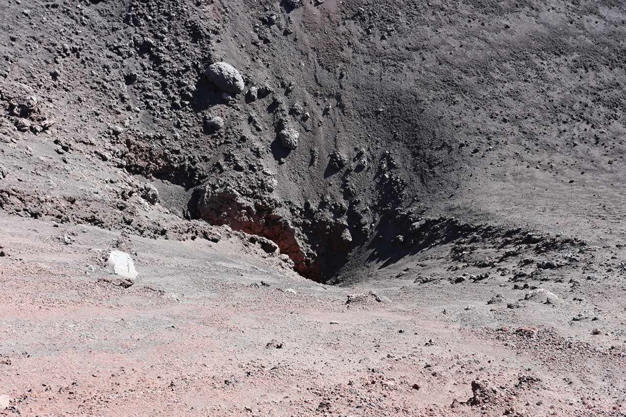
The crater is named after Vincenzo Barbagallo (1909-1977), a hereditary expert on the slopes and craters of Mount Etna. Since 1801, men of the Barbagallo family have been guides for volcanologists and guides for tourists. Vincenzo Barbagallo was an employee of the Italian Volcano Observatory and had the unofficial title of "Crater Keeper".
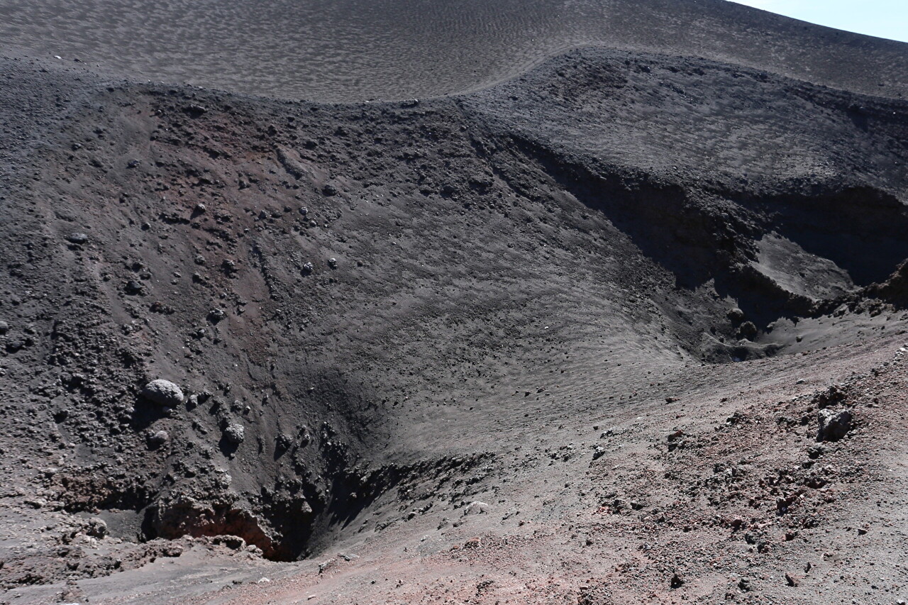
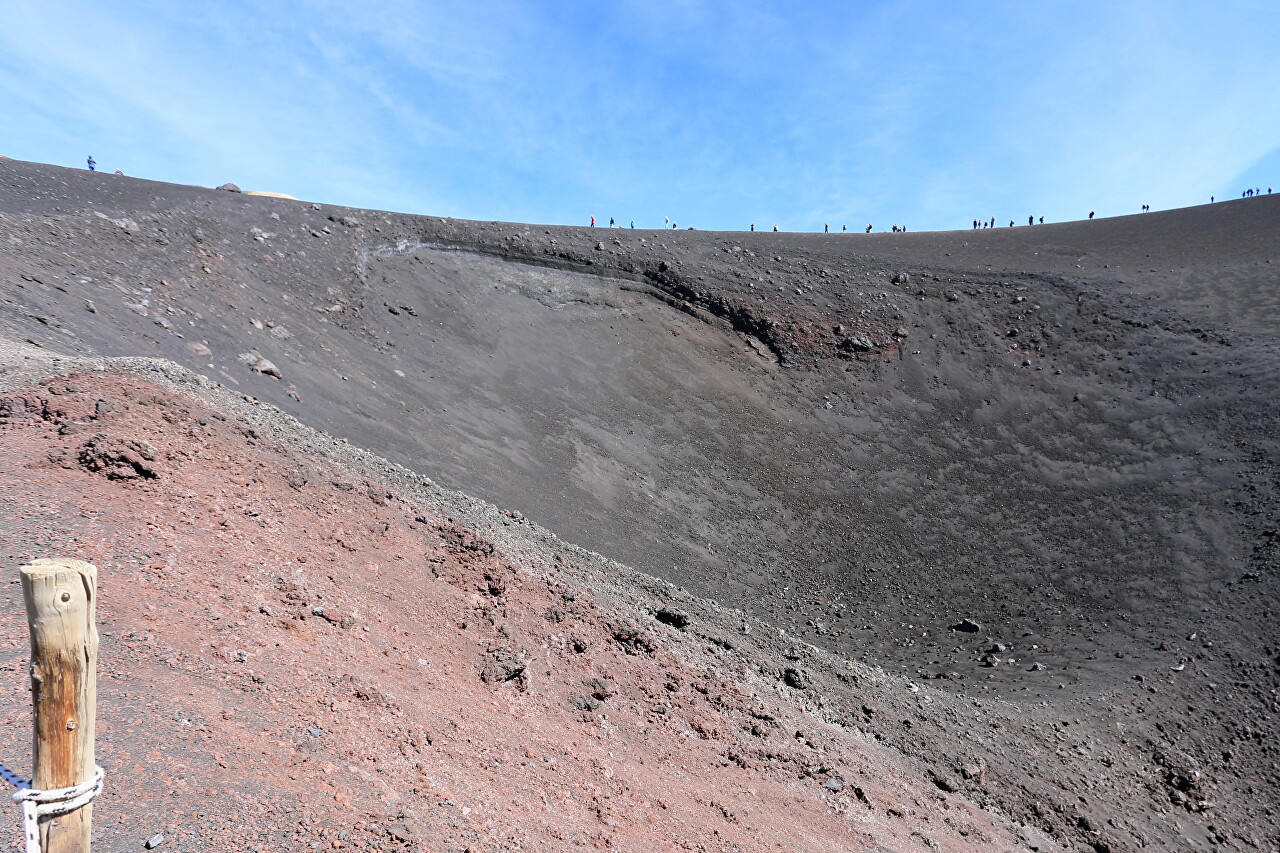
Skirting the crater along the northern ridge, tiny figures of people on it can be estimated the size of the crater. I must say that my first look at it did not make much impression, and from this place it looks absolutely grandiose.
The bottom hole looked like a hole in the underworld from this angle.
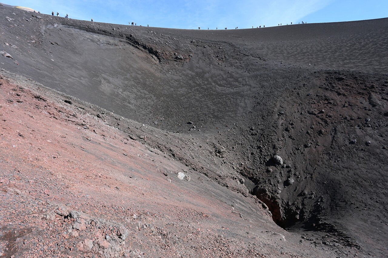
The upper crater, apparently, is not subject to collapse, so it does not have a fence.
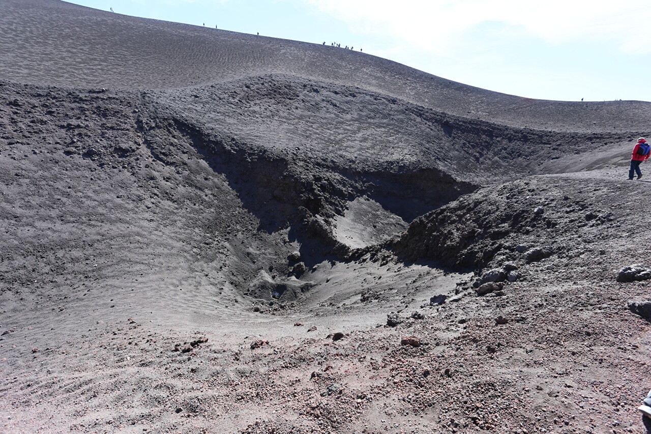
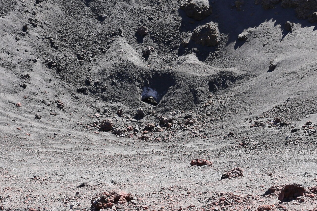
When I got closer, I saw white snow under the cover of volcanic ash, which somehow miraculously survived the summer. Let me remind you that I was on Mount Etna in the first half of October.
The slopes of the funnel are covered with black "extraterrestrial" soil, which forms complex textures, especially in contact with the blue sky in a light haze. One could only be glad that I had chosen a very good day to explore This one - with a clear sky at a high altitude, everything looks very contrasting, but today the shadows were soft and did not go into blackness.
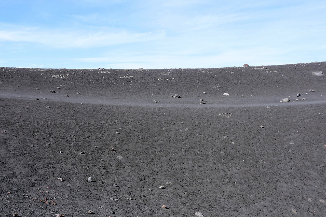
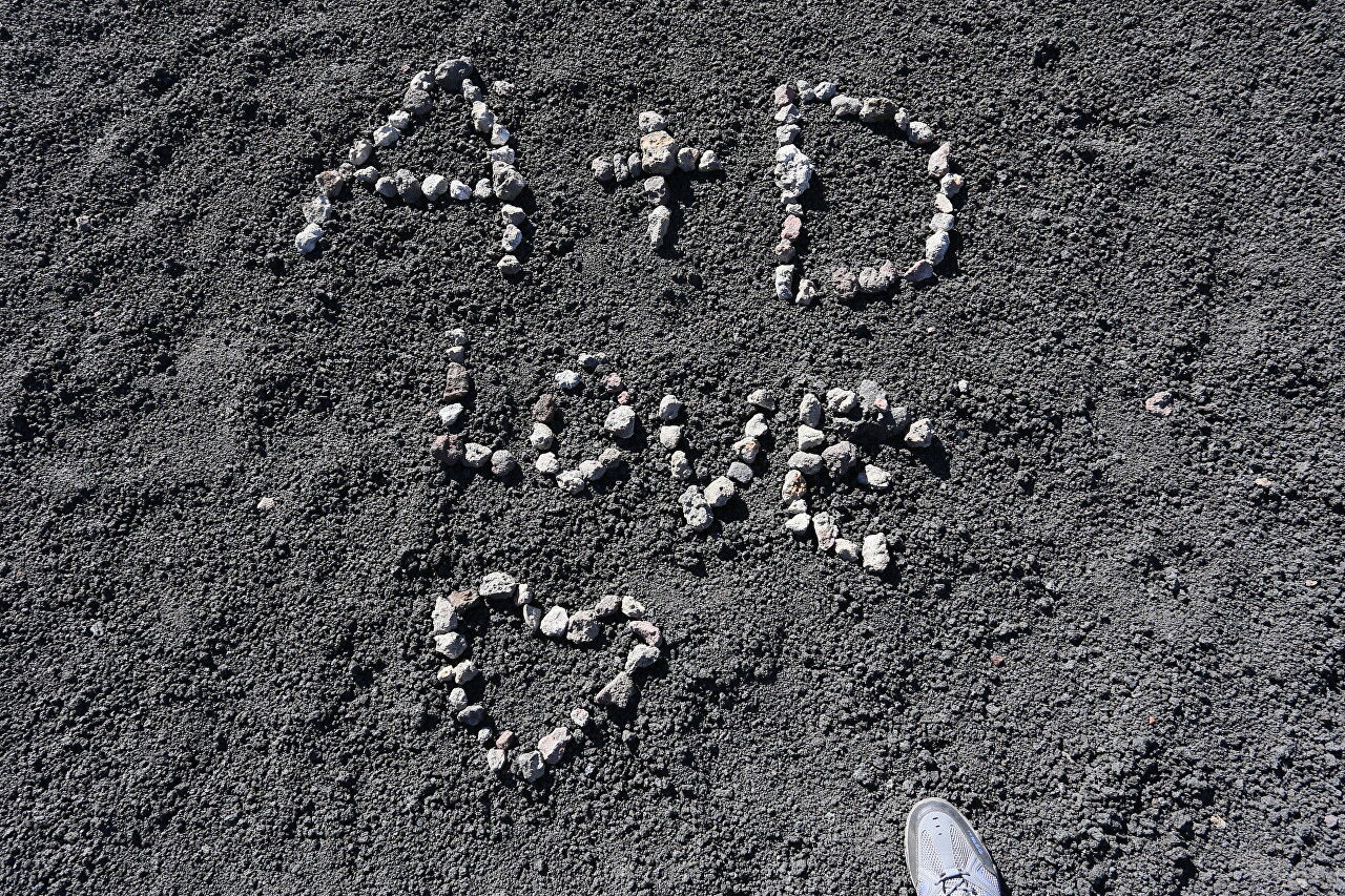
In one place of the slope, some tourists leave a memory of themselves, laying out various figures and inscriptions from white pebbles.
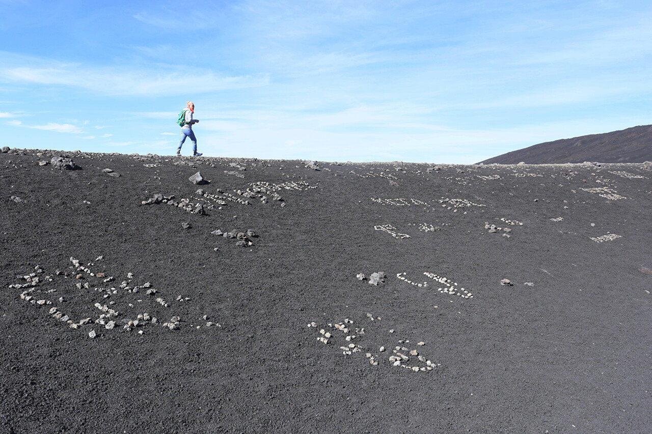
Someone reports that he is the First!
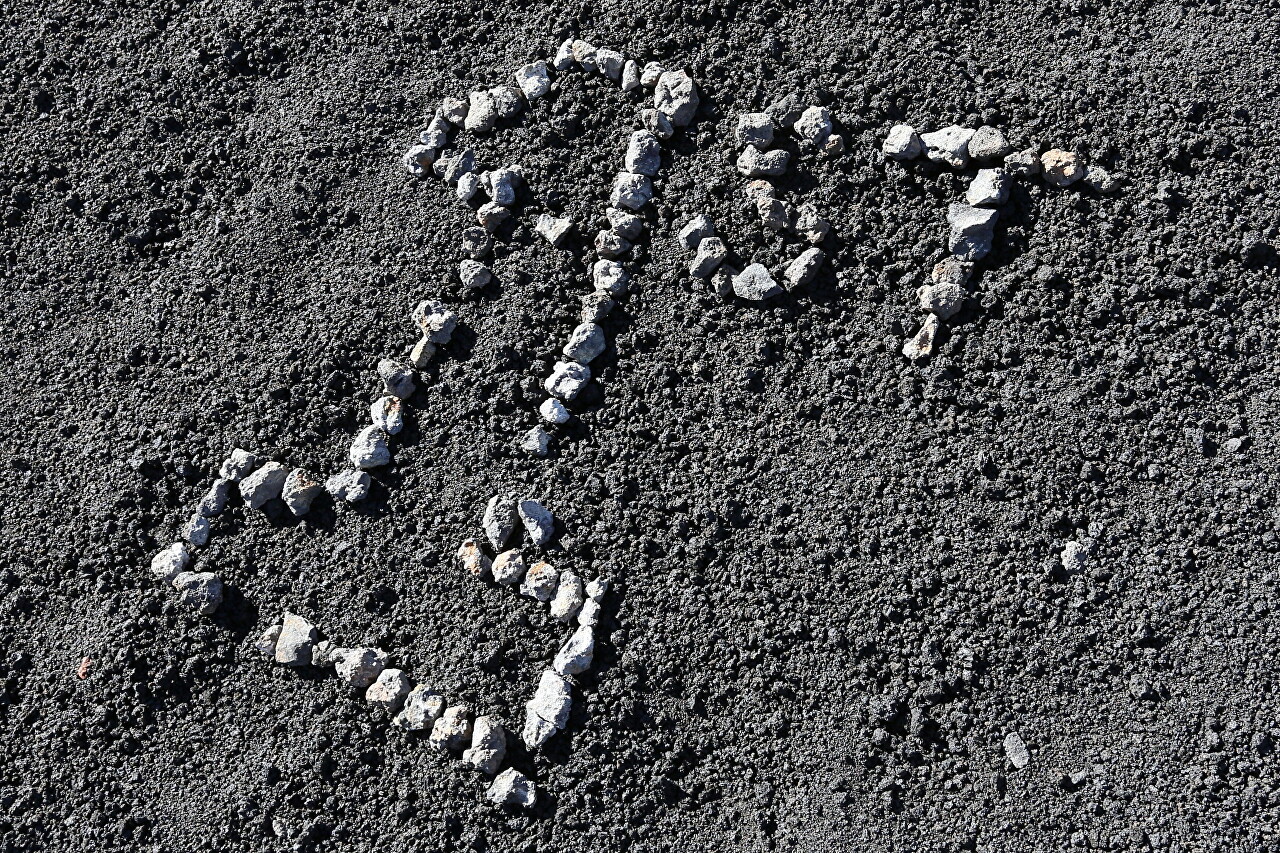
Someone named Maslarski left his memory here.
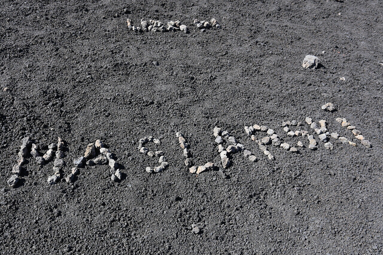
Here, A and D announce their love to the world.
We continue along the ridge. To the north, the black cone of the 2845-meter-high Monte Frumento Supino crater is visible.
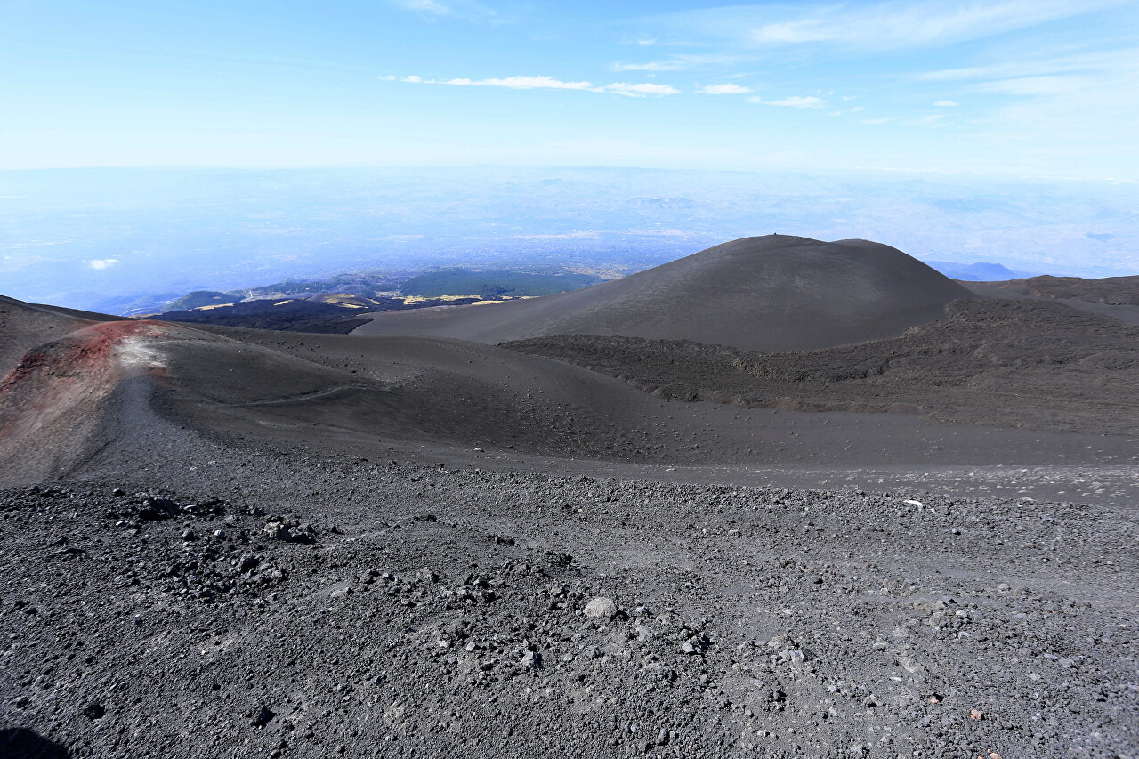
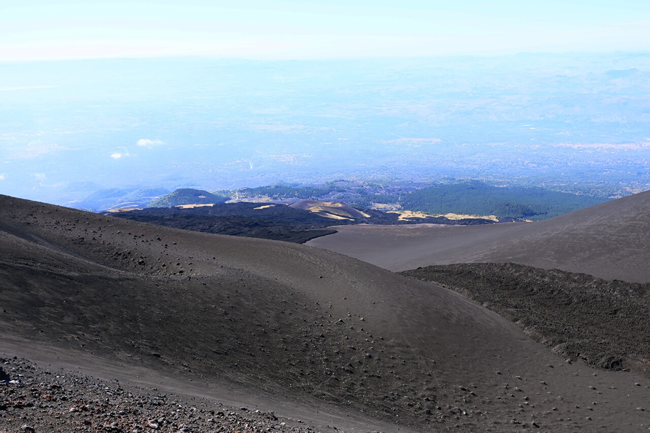
Behind it, the lower part of the slope is visible, covered with greenery, and then the sea coast of Catania is lost in the haze.
Looking to the north, you can see the entire panorama of Barabagallo crater, followed by the South-Eastern cone of the crater, and even further away the main peak of Mount Etna. In a straight line from here to the top of the volcano is just over two thousand meters.
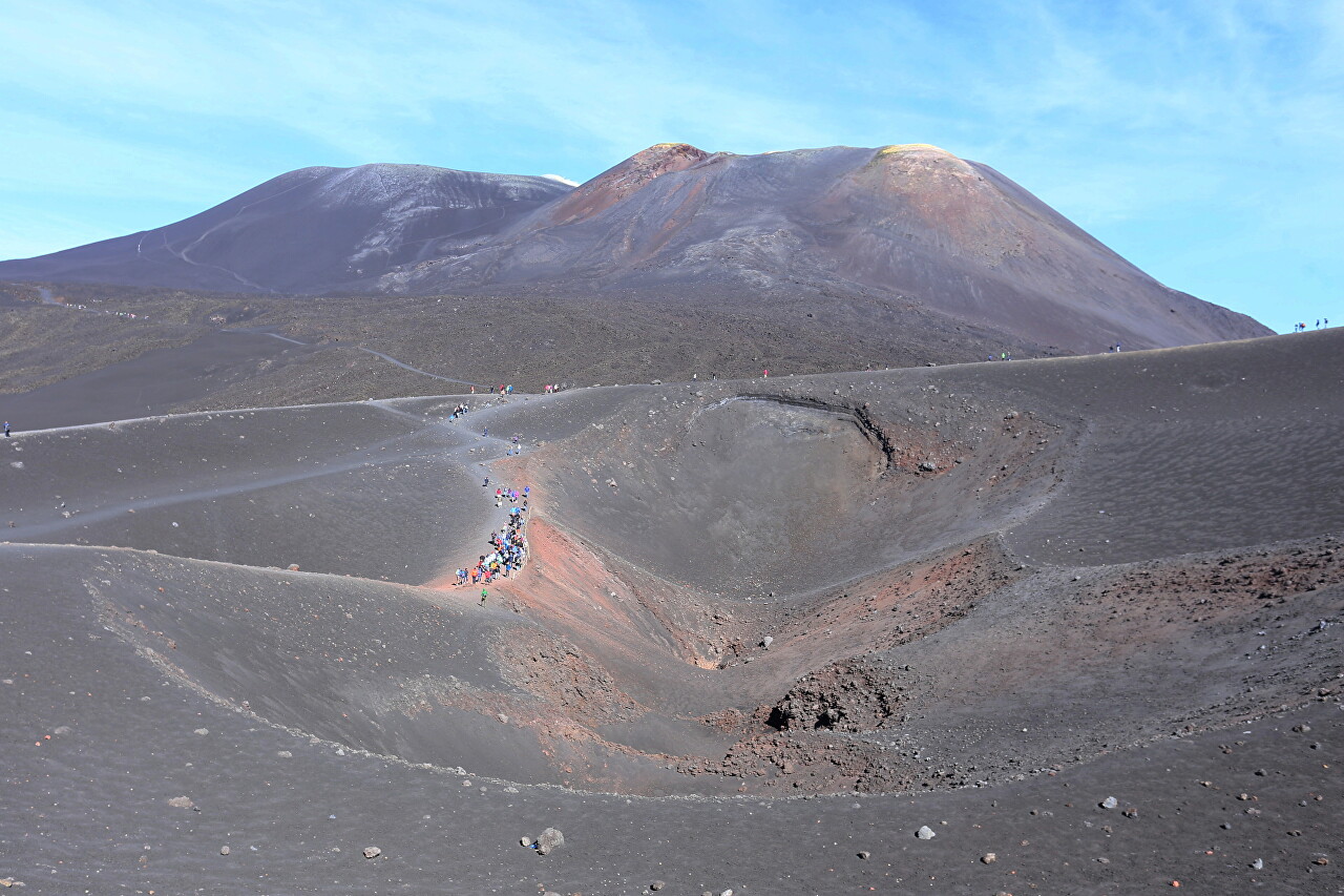
On the south side is another crater named after the French volcanologist Haroun Tazieff, who is known for his films of volcanoes and eruptions and was a great friend of Vincenzo Barbagallo. Few people know about this, so the popular name "Barbagallo Craters" is used in guidebooks.
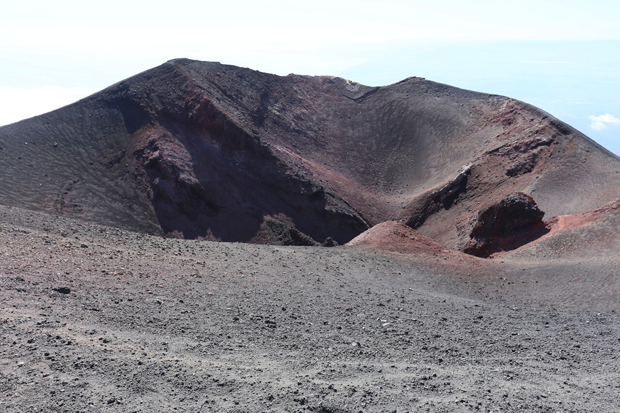
Finally, we go to the eastern ridge of the crater, which is much higher than the rest.
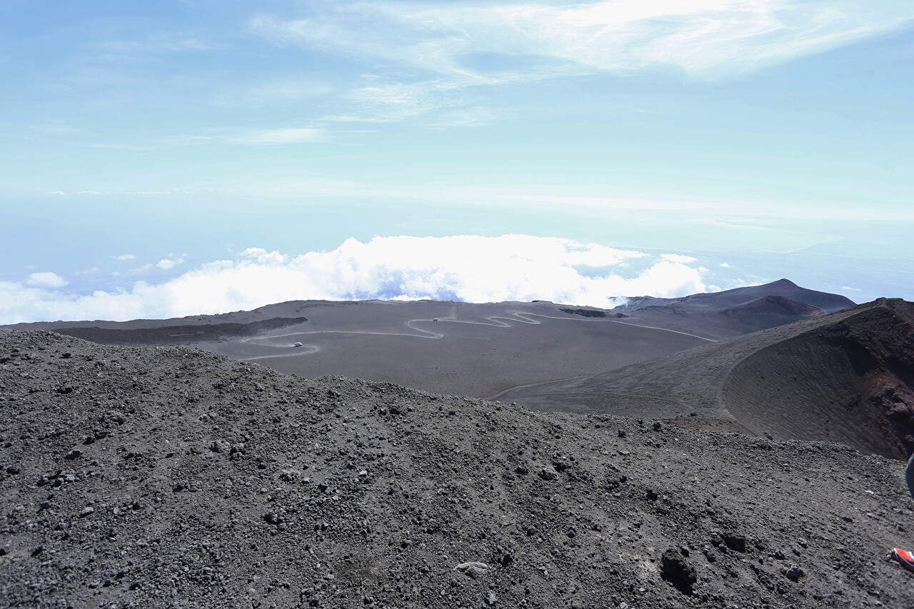
From here you can enjoy a fantastic view of the winding road that runs along the mountain plateau, and beyond it the cliff to the Valley of the bull (Valle del Bove), over which clouds swirl. This caldera was formed 64 thousand years ago as a result of the collapse of the gigantic crater of the protovolcano, the predecessor of Mount Etna. The sinkhole is about a kilometer deep and five kilometers in diameter, and the eastern ridge of the caldera was eventually destroyed by a landslide. The Bull Valley is clearly visible from the Catania-Taormina highway.
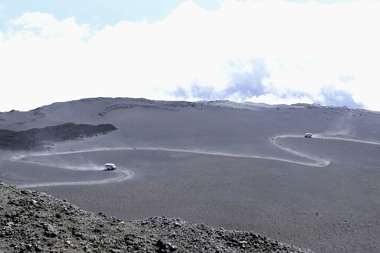
When I looked closer, I saw not only buses dusting along the road, but also people who decided to conquer Etna on foot. This section is very flat, but it is not an easy task to overcome 50 meters to the upper station of the cable car. However, at 11 o'clock in the morning, the most stubborn ones had already reached the Barbagallo craters.
Our walk reached the top point of the crater, 2920 meters. This is 430 meters below the top point of Mount Etna, which we can see on the server. Surprisingly, the volcano didn't smoke at all today, although three weeks later, when I was finishing my trip to Taormina, a long plume of smoke was trailing from its summit.
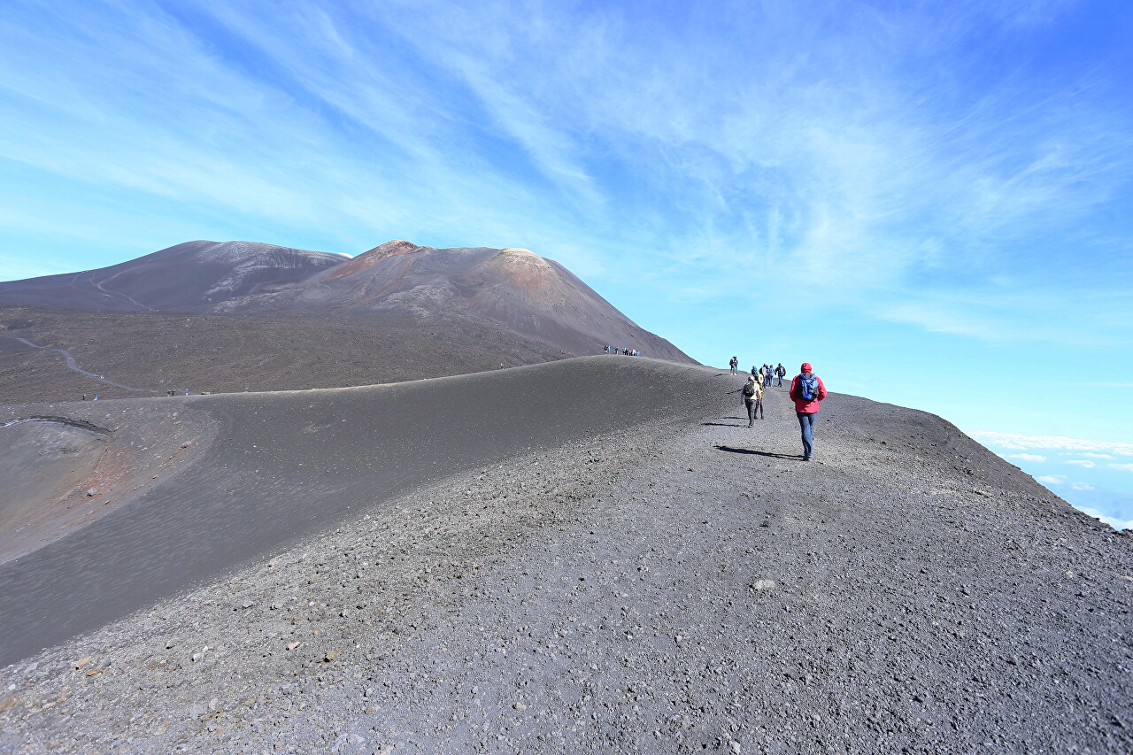
Let's take another look to the south. Now you can clearly see the craters of Monte Escriva (2672 meters) and behind it the peak of Montagnola (2648 meters). Despite its appearance, Montagnola is a cone crater formed in 1763. Visually, it looks higher than Monte Escriva, but this illusion is created because we are much higher than them. To the left is the Cisternazza sinkhole, which was formed not as a result of an eruption, but due to the collapse of the surface area into the magma chamber, from which lava flowed out. In the spring, when the snow melts on the slopes, water accumulates in the sinkhole, for which it got its name from the word "cistern". During the activity of the volcano, this sinkhole becomes a very dangerous source of gas emissions.
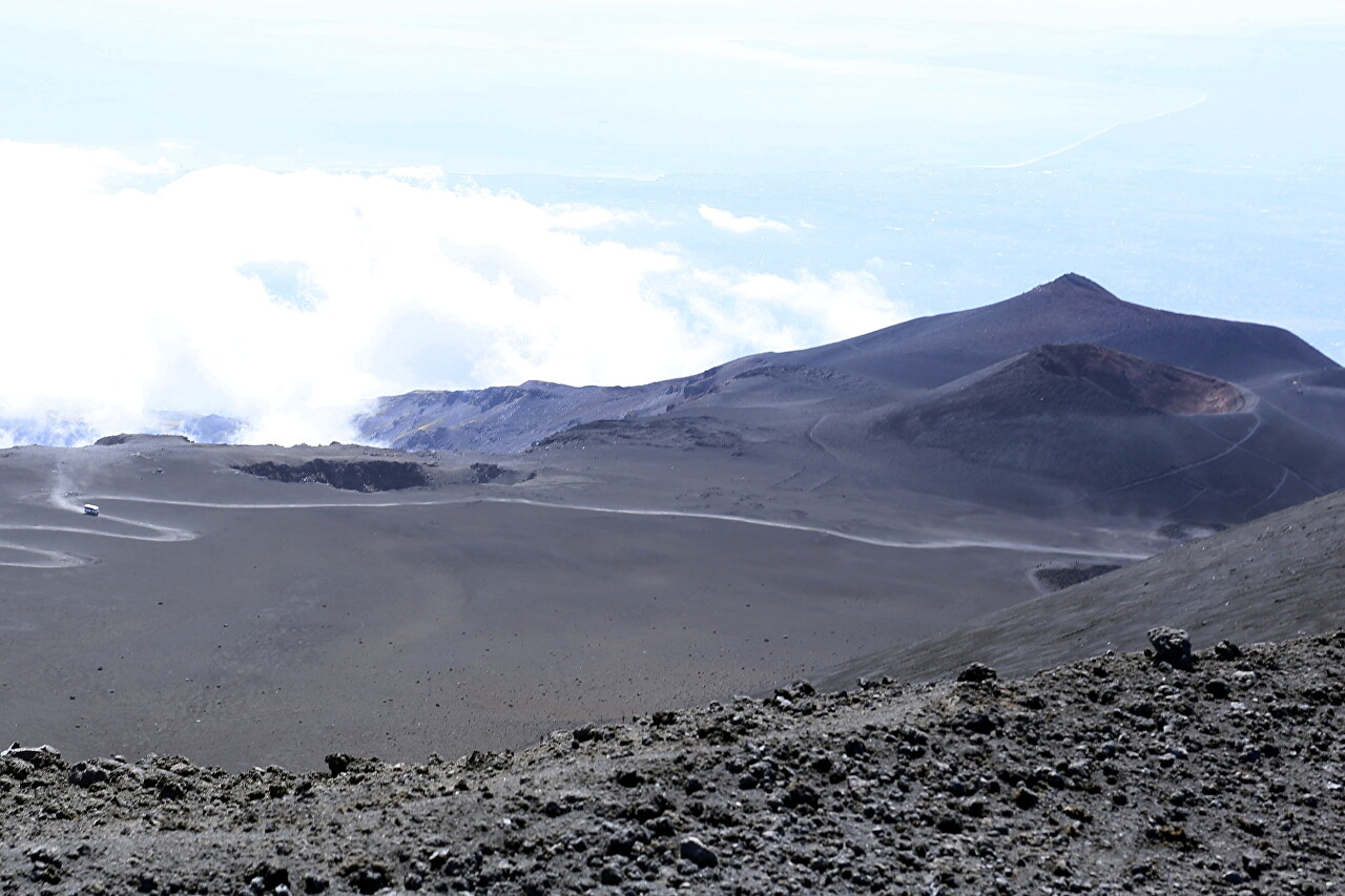
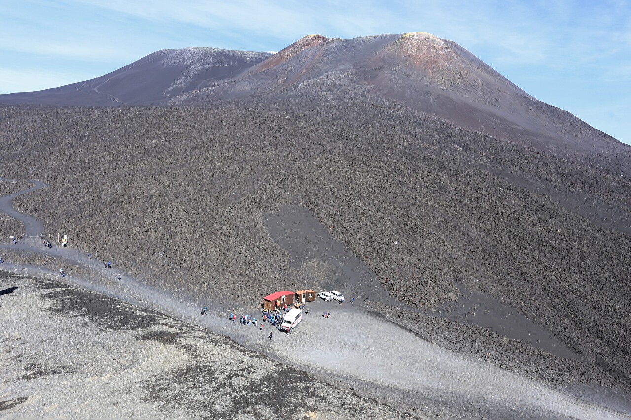
Now right below us is Rifugio Protezione Civile, where another bus brought a new group of tourists. From here you can see that there is also a well-worn road leading to the top of Mount Etna, and some people are trying to go in that direction. However, they are stopped by a forbidding sign. You can only go there as a group with an experienced instructor and special equipment.
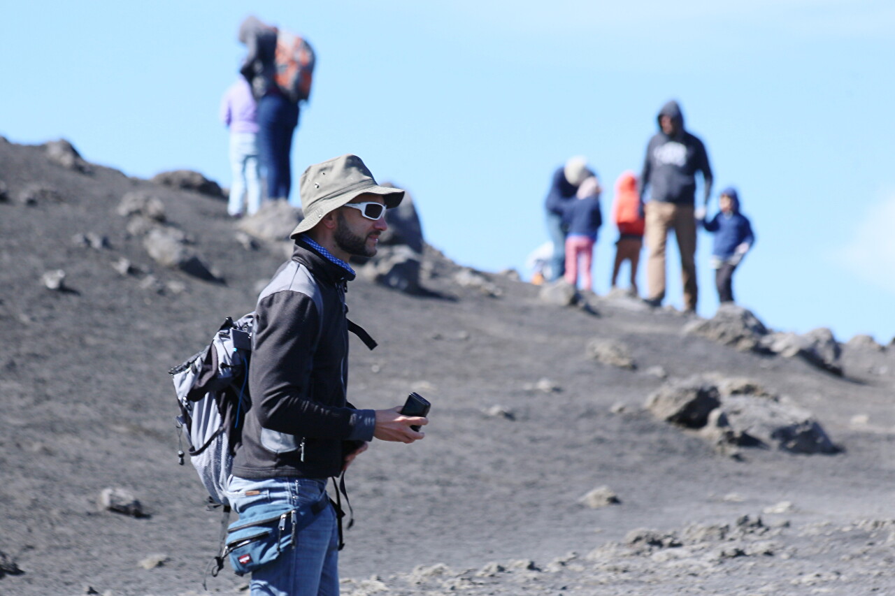
Here I met a man who impressed me with his clothes. Going to Mount Etna, of course, I wasinterested in the weather on its top. After looking at the forecast the night before, I saw that today the air temperature at the top is expected to be +7 degrees Celsius, and for the next few days they promised a drop to -2 and snow (let me remind you that this is October). Therefore, I decided not to postpone the ascent and thoroughly prepared myself. Although in October the daytime temperature in Sicily is kept in the range of 25-30 degrees, I had warm clothes with me, since I flew in from a cold country. Naturally, I took all these things with me and hurriedly put them on before boarding the cableway.
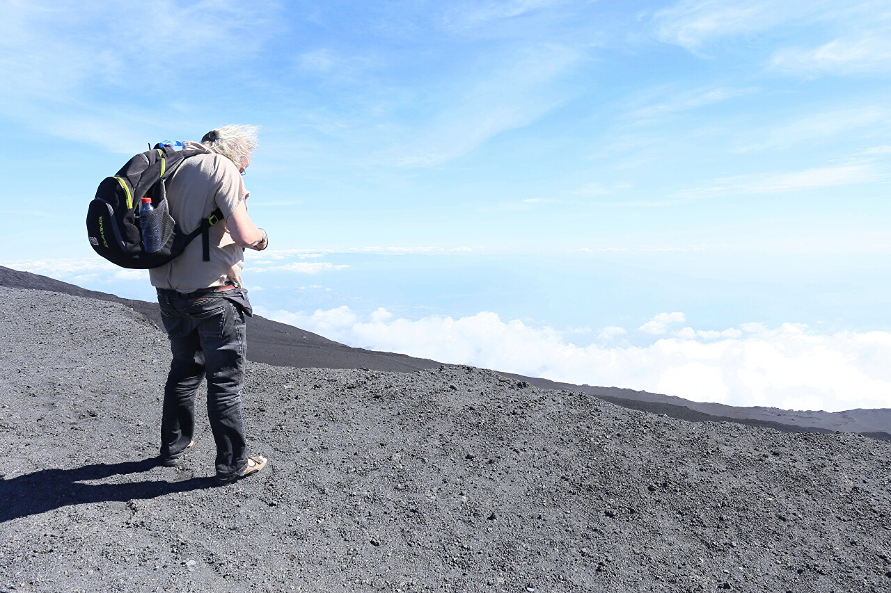
When I saw a man wearing a short-sleeve shirt and bare-footed beach flip-flops at an altitude of 2700 meters, I experienced a real shock. By the way, at the top station of the cable car station you can rent warm clothes and trekking boots, if I remember correctly, it costs 7 euros.
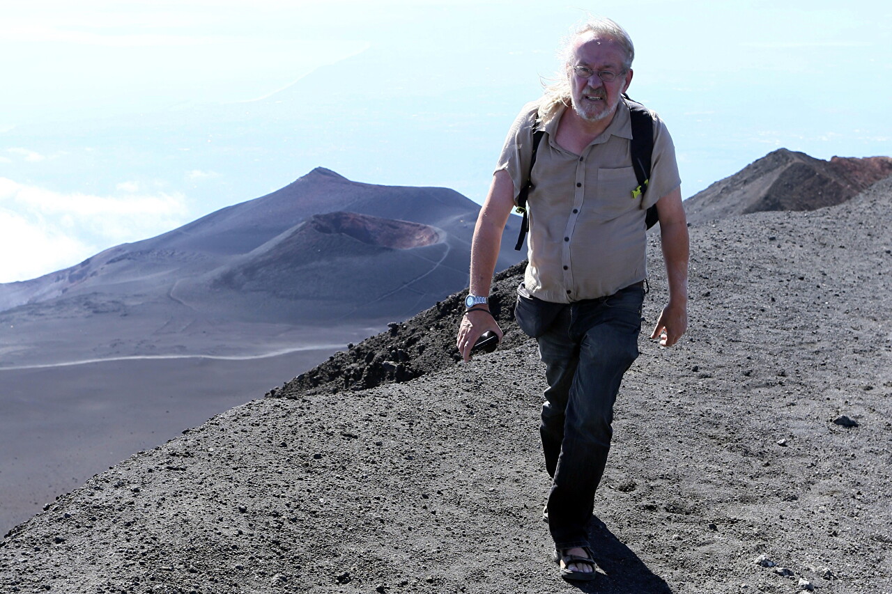
However, I did not feel during the walk the same +7, which makes me very uncomfortable at home, especially in such a strong wind. Yes, it was chilly, but the icy wind wasn't bone-chilling, probably because of the very dry air. I also experienced absolutely no unpleasant sensations from the low air pressure at this altitude. Despite the heavy uphill traffic, I didn't have any shortness of breath. A paradox!
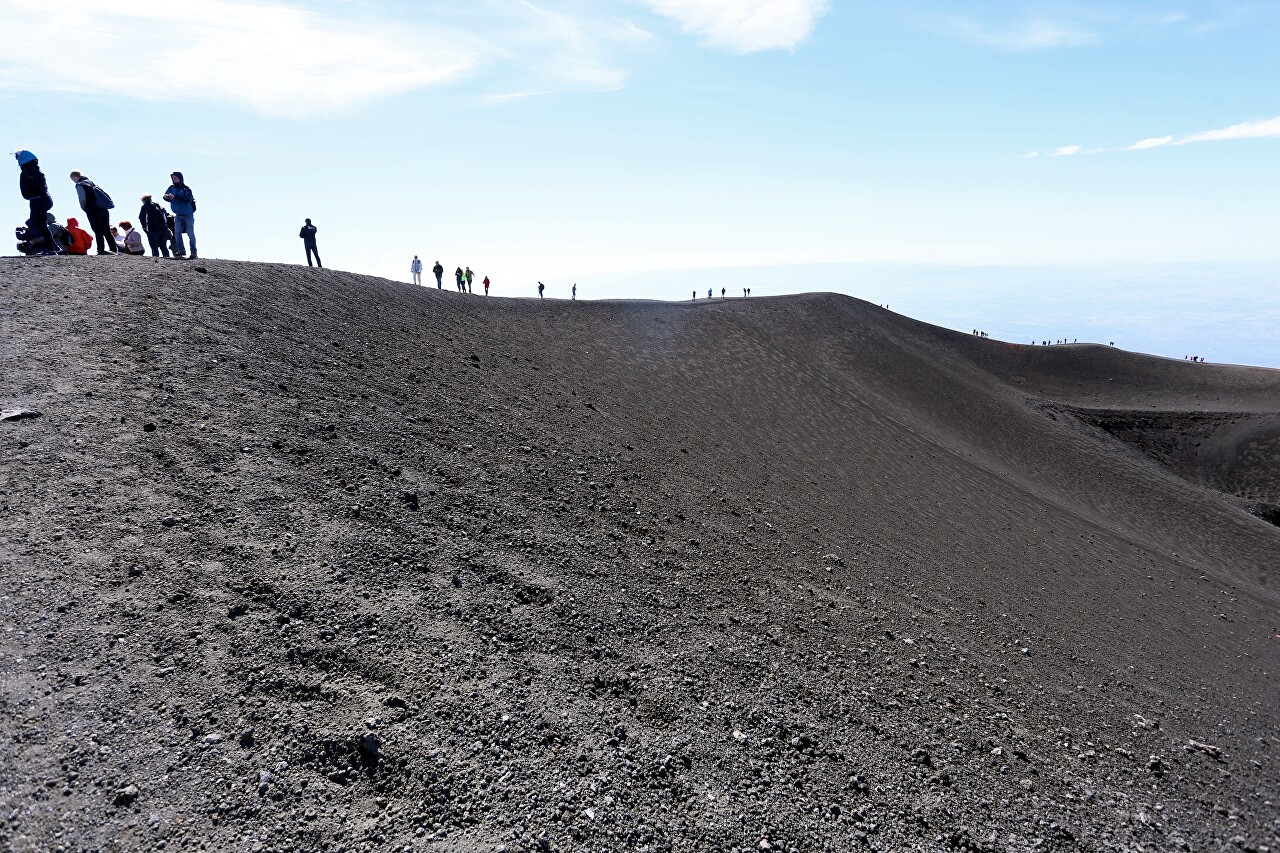
However, most of the tourists on the mountain were also dressed very lightly, no one tried to run the route faster and hide in a warm bus. There were families with children who sat down to lunch right on the crest of the crater.
Yes, when talking about the beauty, I completely forgot to say a few words about the history of Barbagallo crater. In 2001, another series of eruptions began on the southern slope of Mount Etna. They occur regularly, but have not been particularly intense since the 17th century.
On October 27, 2002, an explosive eruption began, at an altitude of about 2700 meters, a new vent was formed, from which a large amount of ash was ejected. This led to the closure of the airport in Catania, and fine particles reached the Greek island of Kefalonia. This was the strongest outburst in the last 150 years.
The second phase of the eruption occurred on November 20-21. A new hole opened near the 2,750-meter-high cinder cone, causing a lava flow that reached Rifugio Sapienza. Then the intensity of the lava flow decreased, but continued until January 28, 2003. Subsequently, these craters were named Barbagallo and Tazieff.
Well, my walk ended, which took about 40 minutes, using a GPS navigator I walked about 1200 meters with an altitude difference of up to 45 meters.
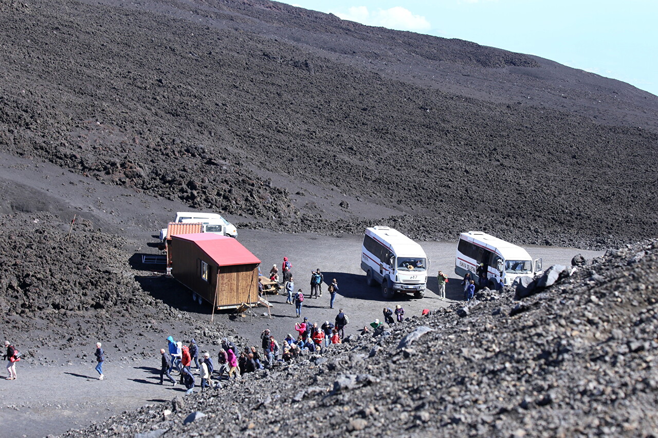
I would have liked to go for more walks, there are trails to other craters nearby, but I still had to see the craters and lava flows near Rifugio Sapienza, so I took the first bus that came up.
